Property summary
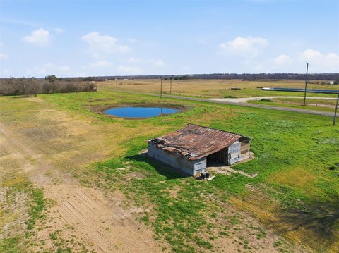
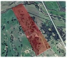
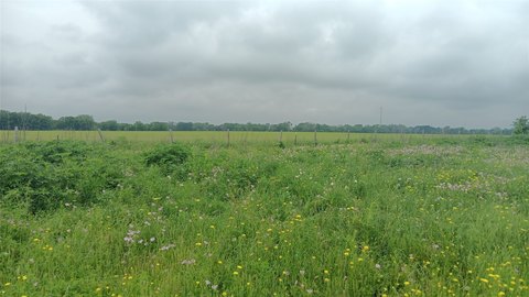
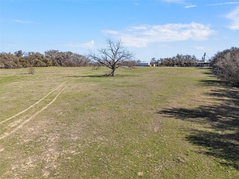
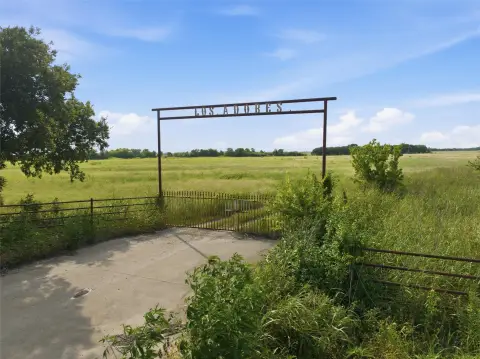
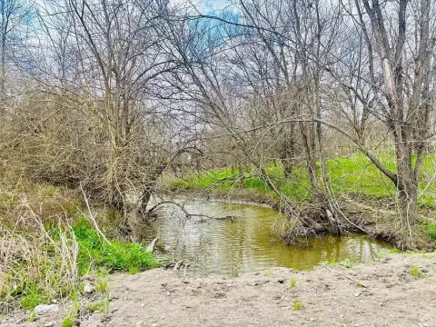
This exceptional 48.08-acre property presents a unique investment opportunity, blending agricultural income with recreational and residential potential. Located just 20 minutes from Waco, and within a reasonable driving distance of Dallas, Austin, and Houston, this land offers unparalleled convenience. Currently leased to a crop farmer (tenant retains post-sale harvest rights), the property generates income and boasts approximately 575 linear feet of frontage on CR 494 N, only 0.3 miles from Hwy 7. The flat topography is ideal for various uses, including livestock grazing (easily converted from cropland), and the wet weather creek bordering the rear adds to its natural appeal. A custom homesite is also possible. Utilities are nearby; a water line is at the Hwy 7 and CR 494N intersection, and Oncor Electric services the area. While there are no meters on the property, the location above the Trinity Aquifer suggests a high probability of successful well drilling. The property is under an agricultural exemption for tax purposes, and all owned minerals convey. Note that an Atmos Gas line and a fuel pipeline traverse the property, and an abstract of title is recommended to identify any additional easements. Various soil types are present (refer to the USDA Soil Map for details). This versatile property offers a compelling blend of income generation, recreational enjoyment, and future development possibilities. The asking price is $457,857, or $9,523 per acre. Showings are by appointment only.
Property profile
VerifiedCap rate & NOI
Location
Value estimations
Owner & transaction history
Comparables
6 recent transactions · within 1.5 miComparable in this City
Similar Nearby for Sale
Value estimation
Instant AI valuation built from comps, income signals, and proprietary benchmarks. A defensible range, not a single guess.
from $99/month
Cap rate
Cap rate calculated from real income and expense signals, benchmarked against sales of similar assets nearby.
from $99/month
Property description
Physical attributes from public recordsZoning & alternative use
Zoning
The recorded zoning designation, what the district officially allows, and the municipal source it comes from.
No zoning code is on file for this parcel. Zoning coverage grows with every catalog release — check back, or open Location Intelligence for use analysis of this corner.
Find the owner behind the property.
Unlock the evidence behind ownership: portfolio, transactions, debt and signals that help you decide who to contact next.
Registration is required before any owner information is shown.
- Full Property Data
- Historical Records
- Value Estimation
- NOI Potential
- Cap Rate Calculation
- Ownership
- Location Insight
- Alternative use
- Local Zoning Insight
Cancel anytime.
- 30 reports a month
- Location Analytics
- Market Trends
- Full Property Data
- Historical Records
- Value Estimation
- NOI Potential
- Cap Rate Calculation
- Ownership
- Location Insight
- Alternative use
- Local Zoning Insight
Cancel anytime.
- 300 reports a month
- Location Analytics
- Market Trends
- Full Property Data
- Historical Records
- Value Estimation
- NOI Potential
- Cap Rate Calculation
- Ownership
- Location Insight
- Alternative use
- Local Zoning Insight
and get 1 Light Report
- Property Information
- Historical Records
- Value Estimation
- NOI Potential
- Cap Rate Potential
- Location Insight
- Alternative use
- Local Zoning Insight


