1711 Airport Dr Wichita Falls, TX 76306
- Commercial land
- 7.65 lot acres
Current Use by Public Records
- Commercial land
Property Details for 1711 Airport Dr
- Lot size
- 7.65 lot acres
- Zone code
- GC
- Property type
- Commercial land
- APN
- 4280 006 02
- APU
- 428000602
Description
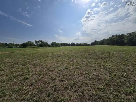
This exceptional 7.65-acre industrial land parcel, located at 1711 Airport Drive in Wichita Falls, Texas, presents a unique investment opportunity. Zoned for General Commercial use, this property offers significant potential for a variety of industrial developments. Its strategic location provides convenient access to Interstate 44, ensuring seamless transportation and logistics. The proximity to Sheppard Air Force Base also presents compelling advantages for businesses serving the base or its personnel. The asking price is $833,085. The property's APN/Parcel ID is 100224. This single lot comprises 7.65 acres of land, ideal for owner-users seeking a strategic location for their operations. The property's zoning allows for a wide range of industrial uses, making it a versatile option for various business needs. Given its size, location, and zoning, this property represents a rare opportunity to acquire a significant industrial land holding in a rapidly growing area of Wichita Falls, Wichita County, Texas, zip code 76306. The property's coordinates are latitude 33.948543 and longitude -98.516311. Serious inquiries are encouraged.
Value Estimations
-
AI approach
-
CAP approach
-
Comparable approach
-
Alternative Use
Get a detailed, property-specific valuation — fast and free
Location Insight
- Map
- Local Demand
- City
- Wichita Falls
- County
- Wichita
- State
- Texas
- Longitude
- -98.5163
- Latitude
- 33.9485
- CBSA code
- 48660
- CBSA name
- WICHITA FALLS, TX METROPOLITAN STATISTICAL AREA