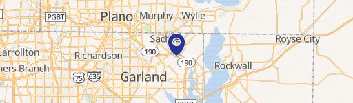
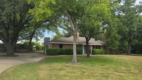
10206 Liberty Grove Rd Rowlett, TX 75089
- Commercial land
- 1,224 SF
- 2.58 lot acres
Current Use by Public Records
- Commercial land
Property Details for 10206 Liberty Grove Rd
- Year built
- 1960
- Construction
- WOOD FRAME
- Lot size
- 2.58 lot acres
- Property size
- 1,224 SF
- Zone code
- Z340
- Property type
- Commercial land
- APN
- 65009469110120000
- APU
- 65009469110120000
Description
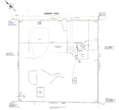
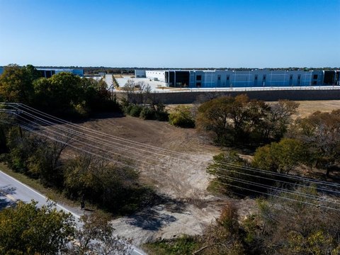
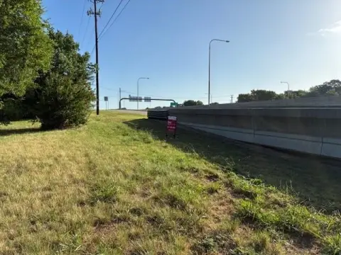
This exceptional 2.58-acre lot in Rowlett, Texas presents a unique opportunity for developers. Ideally situated between the George Bush Turnpike (GWB Tollway) and Lake Ray Hubbard, this property boasts an approved site plan for twelve townhomes. The project is significantly advanced, with completed engineering, virtually all flatwork finished, and a construction permit pending. Detailed engineering plans are included in the sale, outlining twelve townhomes across four buildings, each home designed at 2,283 square feet. Individual home values are projected to exceed $525,000. The location offers unparalleled convenience, with easy access to the GWB Freeway and the recreational amenities of Lake Ray Hubbard, less than half a mile away. Infrastructure is largely complete, including a fire lane, water service, stormwater management, and underground sewer plumbing. This is a land sale
Value Estimation
-
CAP approach
-
Comparable approach
-
Alternative Use
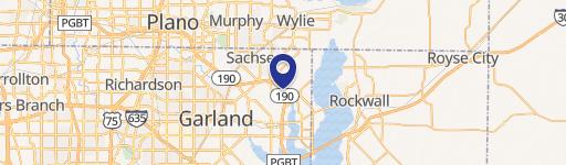
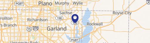
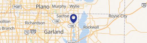
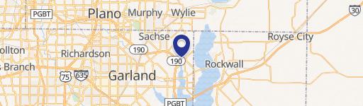
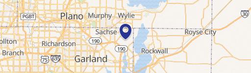
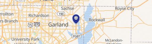
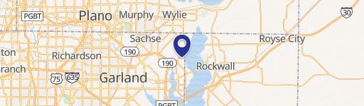
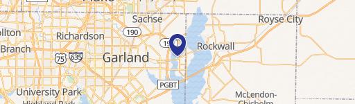
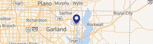
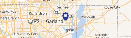
Location Insight
- Map
- Local Demand
- City
- Rowlett
- County
- Dallas
- State
- Texas
- Longitude
- -96.5253
- Latitude
- 32.9465
- CBSA code
- 19100
- CBSA name
- DALLAS-FORT WORTH-ARLINGTON, TX METROPOLITAN STATISTICAL AREA