0 Port Arthur Rd Port Arthur, TX 77642
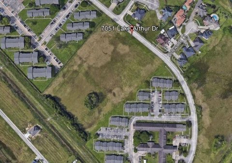
This exceptional 5-acre parcel of land, located on Procter Street between Main Avenue and Taft Avenue in Port Arthur, Texas, presents a unique investment opportunity. Zoned C-1, this property offers significant potential for a variety of commercial and industrial uses. The asking price is $295,000, translating to a land value of $59,000 per acre. Situated in Jefferson County, Texas, with the address W Port Arthur Rd, zip code 77642, this undeveloped land boasts a prime location. Its coordinates are 29.9051634 latitude and -93.8960811 longitude. The property's C-1 zoning allows for a wide range of development possibilities, making it an attractive prospect for entrepreneurs and investors seeking to establish a presence in this thriving area. The expansive lot size provides ample space for construction and future expansion, catering to diverse business needs. This is a rare opportunity to acquire a significant land holding in a strategic location with excellent potential for growth and return on investment. Serious inquiries are encouraged to explore the possibilities this property offers. The property is currently listed for sale.
Cap rate
Implied · in-place · derived from last sale + estimated NOIValue
AI, CAP & Alternative Use estimations · Realmo proprietary blendComparables
6 recent transactions · within 1.5 miComparable in this City


Similar Nearby for Sale


Similar Nearby for Lease


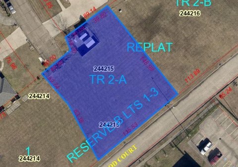
Property description
Physical attributes from public recordsZoning & alternative use
No recorded transactions found for this property.
Costs & Benchmarks
Operating expenses, capex projections, utility benchmarks, and submarket comparables — all in one view.
Risks
Flood, climate, environmental, title, and tenant-concentration risk — surfaced with mitigations and source citations.


