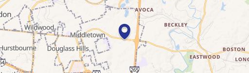
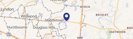
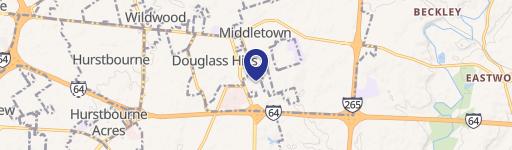
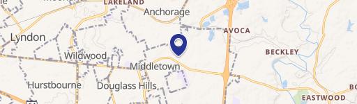
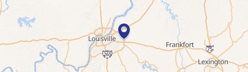
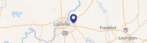
13307 Urton Ln Louisville, KY 40243
Property profile & analytics
Location Intelligence
Current Use by Public Records
- Land
Property Details for 13307 Urton Ln
- Lot size
- 58.92 lot acres
- Property type
- Land
- Property subtype
- Industrial properties
Description
This exceptional 58.92-acre commercial and industrial land parcel presents a unique opportunity for data center development in Louisville, Kentucky. Located at 13307 Urton Ln, Jefferson County, zip code 40243 (38.232541, -85.5094979), this R-4 zoned property boasts unparalleled connectivity and logistical advantages. The site is strategically positioned at the northwest quadrant of the I-64 and I-265 interchange, providing seamless access to major roadways and proximity to significant business parks including Blankenbaker Crossings, Eastpoint, and River Ridge. Its adjacency to utility sources with multiple transmission lines ensures reliable and redundant power, a critical requirement for data center operations. Furthermore, the presence of long-haul fiber on the property guarantees robust and seamless communication capabilities. The site's location offers significant advantages, placing it within a day's drive of 50% of the U.S. population, and in close proximity to key logistics hubs such as UPS Worldport, FedEx Ground, Amazon Air Hub, Ford Motor Company production facilities, and the Blue Oval battery facility. The asking price for this exceptional property is $17,676,000, translating to $300,000 per acre. The property is available for immediate development.
Value Estimations
based on Realmo’s proprietary methodology
-
AI approach
-
CAP approach
-
Comparable approach
-
Alternative Use
Location Insight
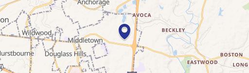
- Map
- Local Demand
- City
- Louisville
- County
- Jefferson
- State
- Kentucky
- Longitude
- -85.5095
- Latitude
- 38.2325