0 2Nd St Mascoutah, IL 62258
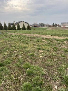
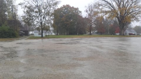
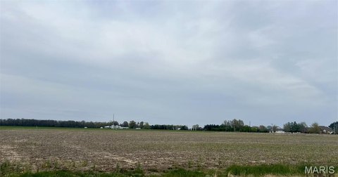
This exceptional 0.65-acre lot, located at N 2nd St in Mascoutah, Illinois, presents a unique development opportunity. The property, identified by APN numbers 19-080-102-001, 19-080-112-002;003;004;007;008, 19-080-113-001, and 19-080-108-004;006, is zoned SR-1, allowing for residential development. Situated in St. Clair County, with a 62258 zip code, this parcel offers convenient access to local amenities and infrastructure. The asking price is $35,000. While the overall acreage of available lots ranges from 0.49 to 2.07 acres, this specific lot provides 0.65 acres of buildable land. Utilities are conveniently located on-site, simplifying the development process. Note that portions of some neighboring acreage are currently being farmed. This property represents a compelling investment for builders or developers seeking a well-located residential building site in a thriving Illinois community. The coordinates are 38.4924183 latitude and -89.8020072 longitude. This is a rare opportunity to acquire a ready-to-develop residential lot in a desirable location. Don't miss out on this chance to build your dream project or expand your portfolio.
Cap rate
Implied · in-place · derived from last sale + estimated NOIValue
AI, CAP & Alternative Use estimations · Realmo proprietary blendComparables
6 recent transactions · within 1.5 miComparable in this City


Similar Nearby for Sale


Property description
Physical attributes from public recordsZoning & alternative use
No recorded transactions found for this property.
Costs & Benchmarks
Operating expenses, capex projections, utility benchmarks, and submarket comparables — all in one view.
Risks
Flood, climate, environmental, title, and tenant-concentration risk — surfaced with mitigations and source citations.


