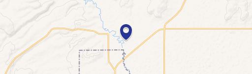
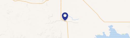
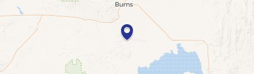
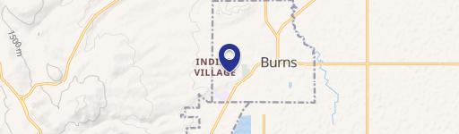
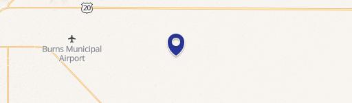
0 Old Experiment Rd & Ryegrass Ln Burns, OR 97720
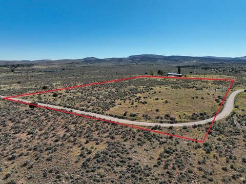
This expansive 416.28-acre commercial land parcel presents a unique investment opportunity in Harney County, Oregon, situated just seven miles southeast of Burns. Located at the intersection of Old Experiment Road and Ryegrass Lane, the property boasts excellent access via State Highway 78 and Old Experiment Road. Currently utilized for livestock grazing, this fully fenced property offers significant potential for various uses, including further livestock production or potential subdivision and development. The land includes a domestic well and existing power lines run along the property's western and southern borders, providing convenient utility access. While there are no existing outbuildings, the presence of power significantly enhances development possibilities. A two-track dirt road provides internal access. The majority of the acreage lies outside the FEMA 100-year floodplain, with only a small portion in the southwest corner designated as floodplain. Older, unused water rights are also associated with the property. This substantial landholding is ideal for establishing dryland pasture or pursuing future development projects. The asking price is $410,000. The property's zip code is 97720.
Cap rate
Implied · in-place · derived from last sale + estimated NOIValue
AI, CAP & Alternative Use estimations · Realmo proprietary blendComparables
6 recent transactions · within 1.5 miComparable in this City

Similar Nearby for Sale


Property description
Physical attributes from public recordsZoning & alternative use
No recorded transactions found for this property.
Costs & Benchmarks
Operating expenses, capex projections, utility benchmarks, and submarket comparables — all in one view.
Risks
Flood, climate, environmental, title, and tenant-concentration risk — surfaced with mitigations and source citations.


