Property summary
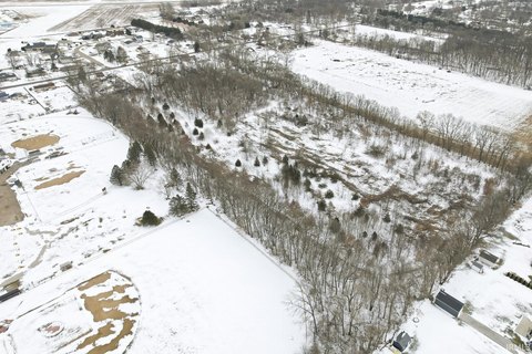
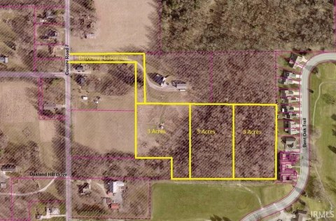
This exceptional 40-acre commercial land parcel is situated at the northeast corner of County Road 26 and State Road 19 in Elkhart, Indiana, zip code 46517. Conveniently located just off the US 20 Bypass and SR 19 interchange, this property boasts high visibility and accessibility. The site offers a range of development possibilities, including hotels, office/commercial services, senior living facilities, convenience stores, or specialty retail establishments. The property's dimensions are approximately 1800 feet by 900 feet and can be subdivided into smaller parcels to suit individual needs. It's adjacent to the former American Countryside Farmers' Market, providing additional synergy and potential for complementary businesses. A traffic light at the intersection of SR 19 and CR 26 ensures excellent traffic flow and visibility. The property benefits from readily available water and sewer services, as well as fiber optic cable along CR 26. Daily traffic counts on US 20 reach approximately 30,000 vehicles, indicating significant potential for high customer traffic. The asking price ranges from $32,500 to $125,000 per acre, with a total asking price of $5,000,000. Additional acreage is also available on the northwest corner of SR 19 and CR 26. This is a truly unique opportunity to acquire a strategically located and highly versatile commercial land parcel in a thriving Indiana market.
Property profile
VerifiedCap rate & NOI
Value estimations
Owner & transaction history
Comparables
6 recent transactions · within 1.5 miComparable in this City


Similar Nearby for Sale



Similar Nearby for Lease


Value estimation
Instant AI valuation built from comps, income signals, and proprietary benchmarks. A defensible range, not a single guess.
from $99/month
Cap rate
Cap rate calculated from real income and expense signals, benchmarked against sales of similar assets nearby.
from $99/month
Property description
Physical attributes from public recordsZoning & alternative use
Zoning
The recorded zoning designation, what the district officially allows, and the municipal source it comes from.
No zoning code is on file for this parcel. Zoning coverage grows with every catalog release — check back, or open Location Intelligence for use analysis of this corner.
Find the owner behind the property.
Unlock the evidence behind ownership: portfolio, transactions, debt and signals that help you decide who to contact next.
Registration is required before any owner information is shown.


