Property summary
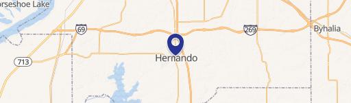
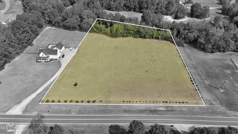
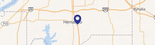
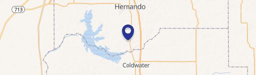
Delta Landing presents a unique investment opportunity in Hernando, Mississippi, the county seat of DeSoto County. This mixed-use planned development (PD) is strategically situated on the northeast corner of the I-55 and I-269 interchange, boasting exceptional visibility and accessibility. The development encompasses a substantial land area of between 1 and 2.5 acres, designed to create a vibrant, walkable community where residents and visitors can live, work, and play. The vision for Delta Landing includes over 30 acres of commercial space, perfectly suited for restaurants, specialty retail services, and office uses. Further enhancing the community's appeal is a proposed hotel and up to 124 loft units, complemented by over 600 single-family homes. This creates a diverse and thriving environment, attracting a wide range of residents and businesses. The location benefits from extremely high traffic counts, with I-55 averaging 55,000 vehicles daily and I-269 averaging 29,000. Adding to the area's appeal, a new DeSoto County High School is under construction directly across the street, further solidifying the long-term growth potential of this exceptional mixed-use development. Delta Landing offers a compelling blend of commercial and residential opportunities within a master-planned community, promising significant returns for investors. The traditional neighborhood design principles incorporated into the plan ensure a cohesive and attractive environment.
Property profile
VerifiedCap rate & NOI
Location
Value estimations
Owner & transaction history
Comparables
6 recent transactions · within 1.5 miComparable in this City


Similar Nearby for Sale
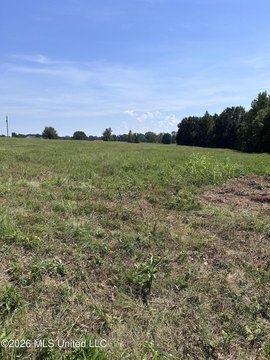
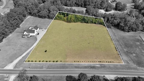

Similar Nearby for Lease




Value estimation
Instant AI valuation built from comps, income signals, and proprietary benchmarks. A defensible range, not a single guess.
from $99/month
Cap rate
Cap rate calculated from real income and expense signals, benchmarked against sales of similar assets nearby.
from $99/month
Property description
Physical attributes from public recordsZoning & alternative use
Zoning
The recorded zoning designation, what the district officially allows, and the municipal source it comes from.
No zoning code is on file for this parcel. Zoning coverage grows with every catalog release — check back, or open Location Intelligence for use analysis of this corner.
Find the owner behind the property.
Unlock the evidence behind ownership: portfolio, transactions, debt and signals that help you decide who to contact next.
Registration is required before any owner information is shown.
- Full Property Data
- Historical Records
- Value Estimation
- NOI Potential
- Cap Rate Calculation
- Ownership
- Location Insight
- Alternative use
- Local Zoning Insight
Cancel anytime.
- 30 reports a month
- Location Analytics
- Market Trends
- Full Property Data
- Historical Records
- Value Estimation
- NOI Potential
- Cap Rate Calculation
- Ownership
- Location Insight
- Alternative use
- Local Zoning Insight
Cancel anytime.
- 300 reports a month
- Location Analytics
- Market Trends
- Full Property Data
- Historical Records
- Value Estimation
- NOI Potential
- Cap Rate Calculation
- Ownership
- Location Insight
- Alternative use
- Local Zoning Insight
and get 1 Light Report
- Property Information
- Historical Records
- Value Estimation
- NOI Potential
- Cap Rate Potential
- Location Insight
- Alternative use
- Local Zoning Insight


