
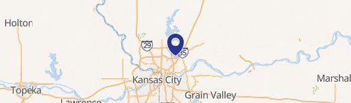
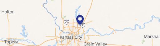
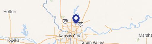
I-435 96Th St, Kansas City, MO 64157
This exceptional 50-acre parcel presents a unique investment opportunity in a high-growth corridor of Kansas City, Missouri. Located near the intersection of I-435 and NE 96th Street in Clay County (zip code 64157), this property boasts excellent visibility and convenient access to major transportation routes, including the Diamond interchange. Its strategic location places it just one mile west of the largest and most active residential developments north of the Missouri River, and in close proximity to desirable amenities such as Shoal Creek, Staley High School, and the Staley Farms Development. The site is situated just outside Liberty, Missouri, a city experiencing rapid population growth within the Kansas City metro area. All utilities are available, making this a turnkey opportunity for developers seeking to capitalize on the area's expanding residential and commercial markets. The asking price is $3,267,000, translating to $1.50 per square foot. This substantial land holding offers significant potential for a mixed-use development catering to the increasing demand for housing and commercial spaces in this thriving region. The property's size and location make it an ideal candidate for a large-scale project.
Cap rate
Implied · in-place · derived from last sale + estimated NOIValue
AI, CAP & Alternative Use estimations · Realmo proprietary blendComparables
6 recent transactions · within 1.5 miComparable in this City


Similar Nearby for Sale

Property description
Physical attributes from public recordsZoning & alternative use
No recorded transactions found for this property.
Costs & Benchmarks
Operating expenses, capex projections, utility benchmarks, and submarket comparables — all in one view.
Risks
Flood, climate, environmental, title, and tenant-concentration risk — surfaced with mitigations and source citations.


