
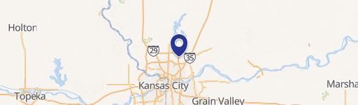
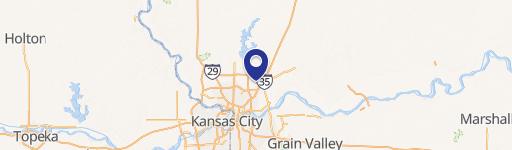
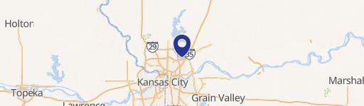
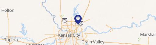
152 Hwy And Flintlock Rd, Kansas City, MO 64157
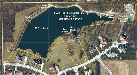
This exceptional retail opportunity, located at the Southwest corner of Highway 152 and Flintlock Road in Kansas City, Missouri's Clay County (zip code 64157), presents a prime location for discerning businesses. The Plaza at Shoal Creek offers a total of 19,375 square feet of commercial space, currently featuring multiple tenancies. Two spaces are immediately available, ranging from a minimum of 1,495 square feet to a maximum contiguous space of 2,415 square feet. A total of 3,910 square feet is currently vacant and ready for occupancy. The property is classified as retail, land, and restaurant space, and is further categorized as free-standing and storefront. This versatile property is ideal for a variety of businesses seeking high visibility and convenient access. Its strategic location at a major intersection ensures significant foot traffic and excellent exposure. The property's diverse zoning allows for a range of commercial uses, making it an attractive investment for both established businesses and new ventures. Interested parties are encouraged to inquire about lease terms and availability. The property is situated at 39.2474384 latitude and -94.4664702 longitude.
Cap rate
Implied · in-place · derived from last sale + estimated NOIValue
AI, CAP & Alternative Use estimations · Realmo proprietary blendComparables
6 recent transactions · within 1.5 miComparable in this City


Similar Nearby for Sale


Property description
Physical attributes from public recordsZoning & alternative use
No recorded transactions found for this property.
Costs & Benchmarks
Operating expenses, capex projections, utility benchmarks, and submarket comparables — all in one view.
Risks
Flood, climate, environmental, title, and tenant-concentration risk — surfaced with mitigations and source citations.


