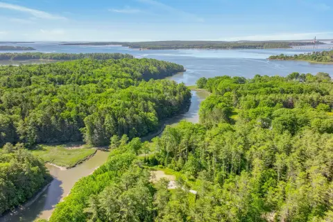
0 Lighthouse Rd Freeport, ME 04032
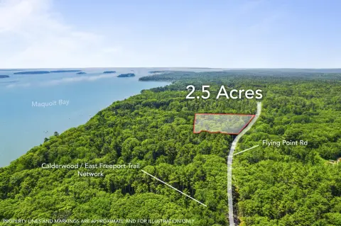
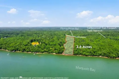
This exceptional commercial land offering presents two remaining parcels, totaling 2.16 and 2.9 acres, ideally situated along Lighthouse Road in Freeport, Maine. The property boasts convenient access via Stonewood Drive, placing it less than half a mile from the heavily trafficked US Route One. This strategic location offers unparalleled exposure and accessibility. The lots are flexible and can be combined to accommodate a variety of development projects. Furthermore, existing Maine Department of Environmental Protection (DEP) pre-approvals significantly expedite the development process, saving valuable time and resources. The property benefits from a C-I zoning designation, providing a range of permitted commercial uses. Infrastructure is already in place, including three-phase power, municipal water and sewer services, and a comprehensive stormwater management system. Natural gas is also available. Adding to its appeal, the land provides direct access to the Freeport Conservation Trust's Stonewood Trail, offering a unique amenity and potential for enhanced property value. This prime location within the Portland Metropolitan Statistical Area (population 514,098) ensures a robust market and strong potential for return on investment. Don't miss this opportunity to acquire a highly desirable commercial property in a thriving Maine community. The zip code is 04032, and the property is located in Cumberland County.
Cap rate
Implied · in-place · derived from last sale + estimated NOIValue
AI, CAP & Alternative Use estimations · Realmo proprietary blendComparables
6 recent transactions · within 1.5 miComparable in this City


Similar Nearby for Sale


Similar Nearby for Lease


Property description
Physical attributes from public recordsZoning & alternative use
No recorded transactions found for this property.
Costs & Benchmarks
Operating expenses, capex projections, utility benchmarks, and submarket comparables — all in one view.
Risks
Flood, climate, environmental, title, and tenant-concentration risk — surfaced with mitigations and source citations.


