Wooded Waterfront Home

For Sale
$449,000
19_8_1B Flying Point Road, Freeport, ME 04032
Land, Freeport, ME
Property SizeContact for details
Lot Size2.50 Acres
Days on Market64
Property Features for 19_8_1B Flying Point Road
General Information
Property type
Land
Property subtype
Other
Zoning
RR1
Parking features
On Street
Pets allowed
No
Lot features
Level, Wooded, Interior Lot, Rural, Suburban
Standard status
Active
Lot size
2.50 Acres
Taxes and HOA fees
Tax Year
2026
Tax Annual Amount
1
Utilities
Sewer type
Septic Needed
Water source
Private, Well Needed
Listing Agency:
Keller Williams Realty
(207) 879-9800
Listed By:
Leanne Barschdorf Nichols
(207) 653-4353
Added: Jul 7
Changed: Aug 26
Last Checked: Sep 8 at 4:06PM
MLS# 1670157
Copyright © 2026 Maine Listings. All rights reserved. All information provided by the listing agent/broker is deemed reliable but is not guaranteed and should be independently verified.
Investment Insights
Based on property information with market context.
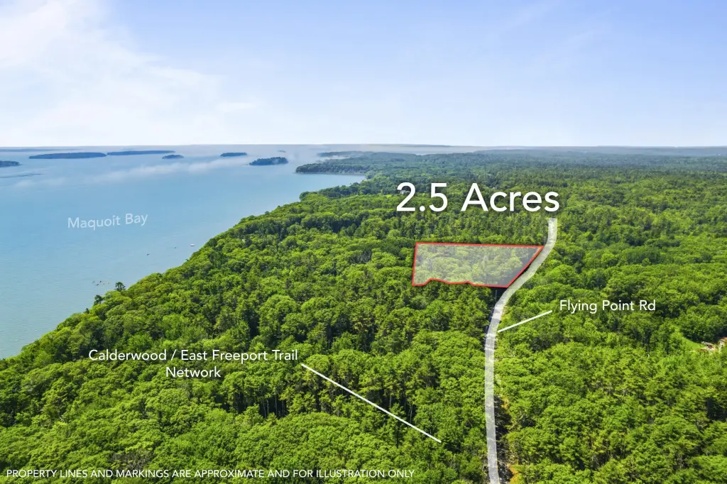
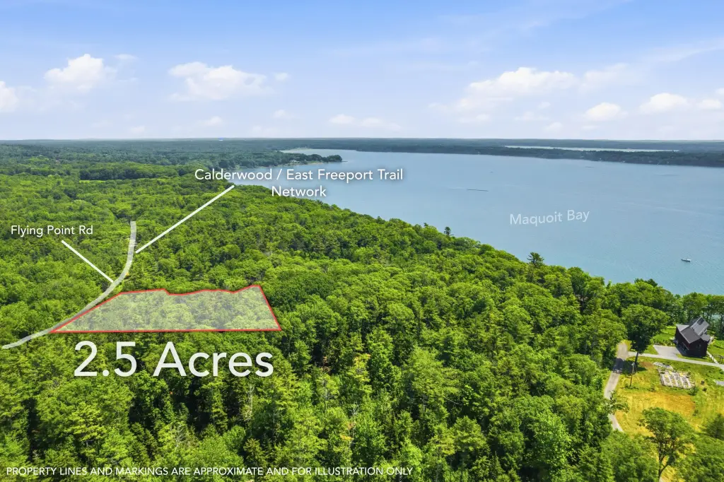
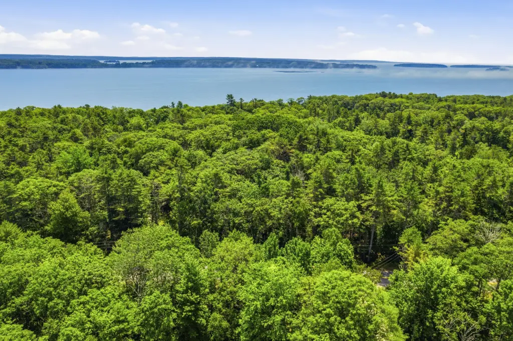
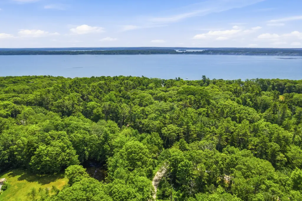
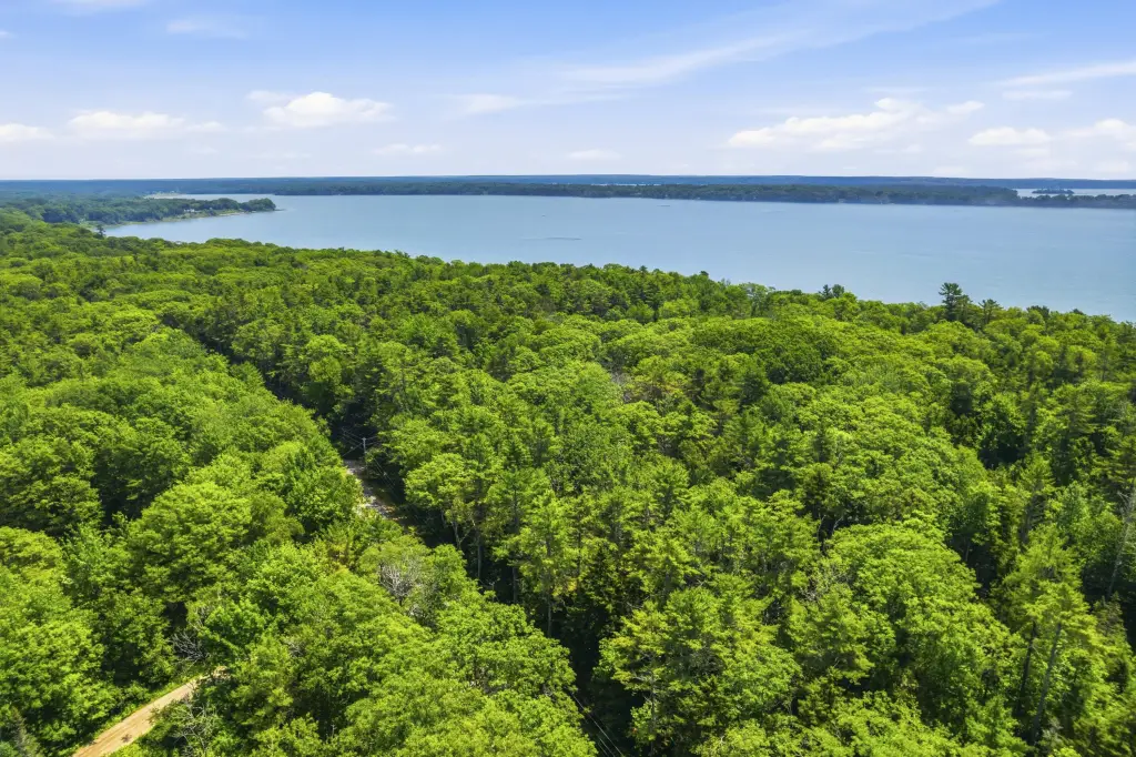
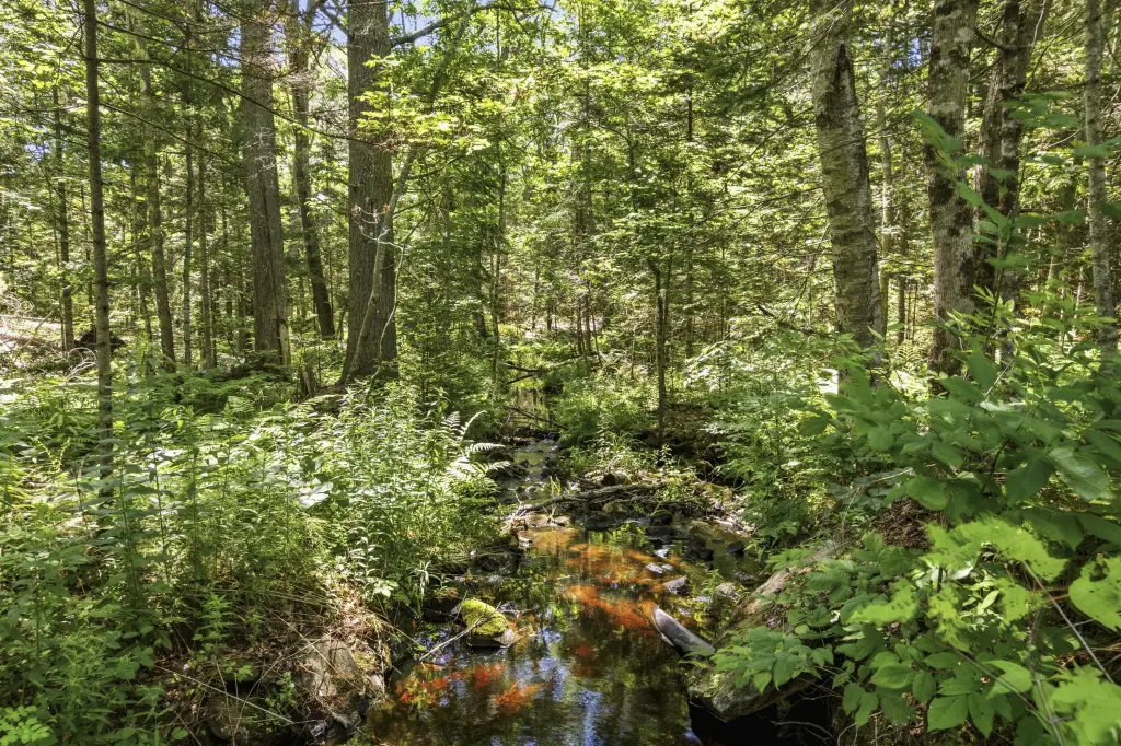
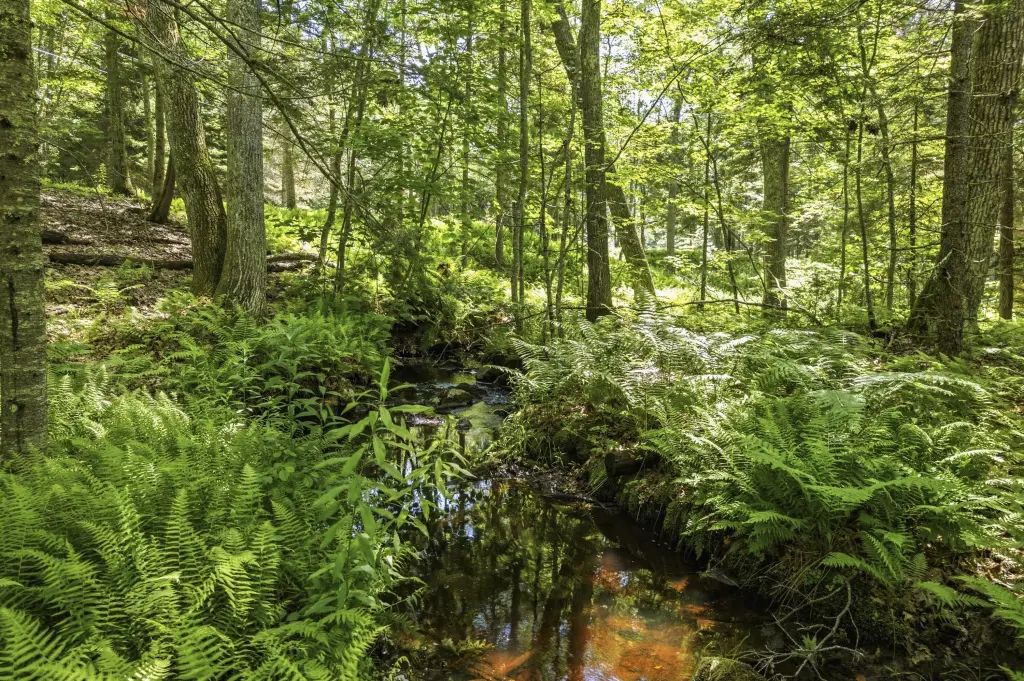
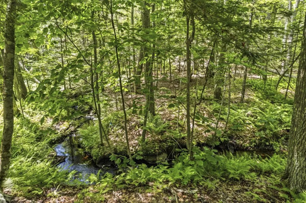
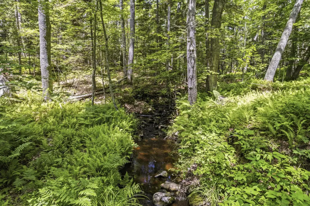
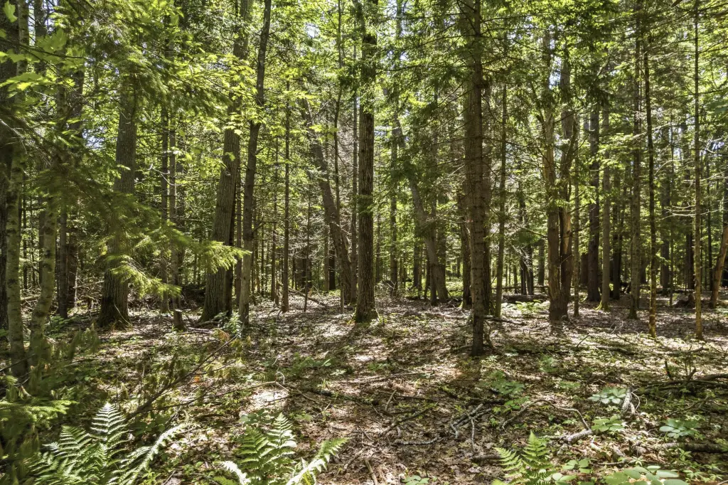
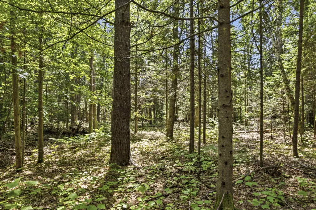
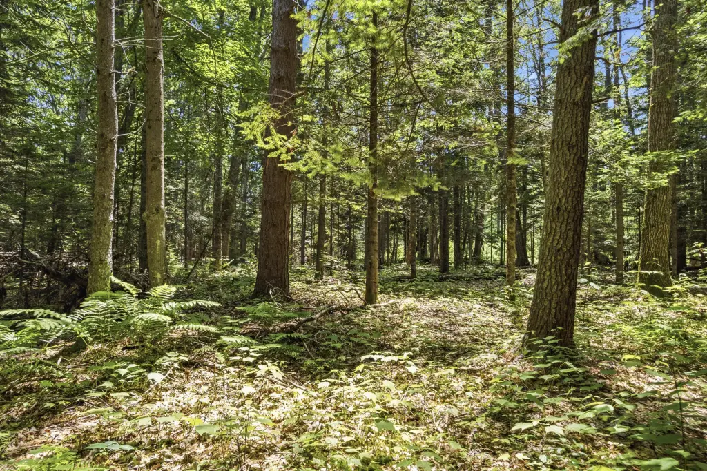
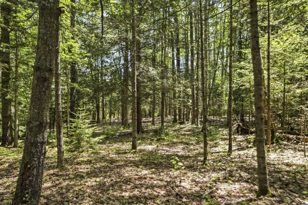
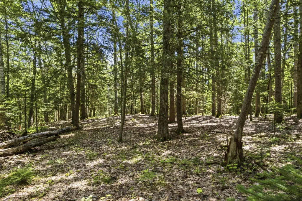
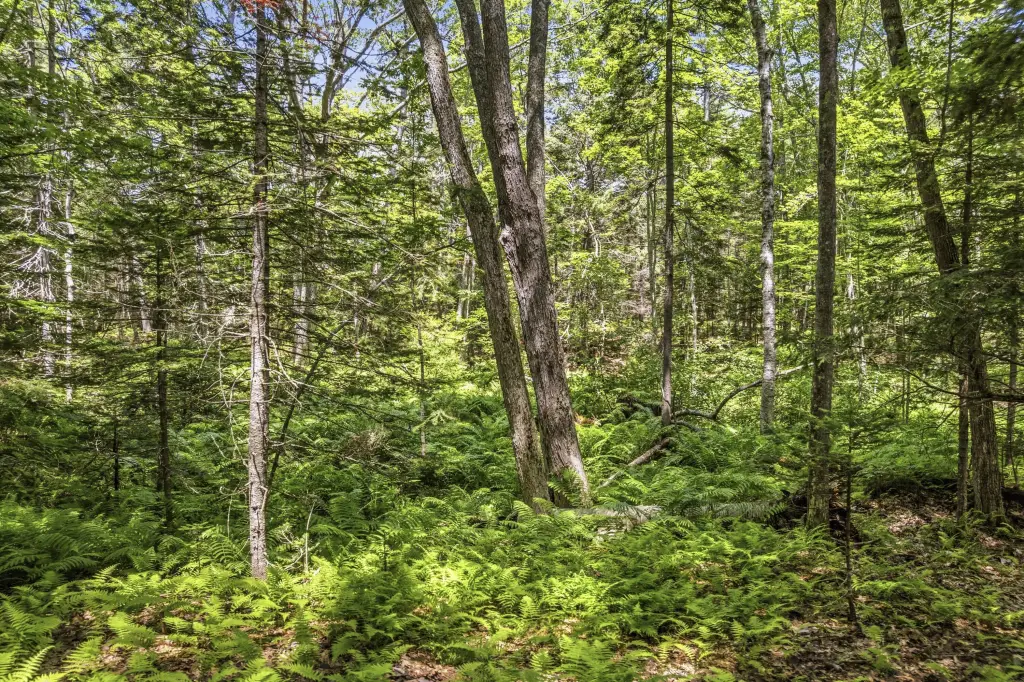
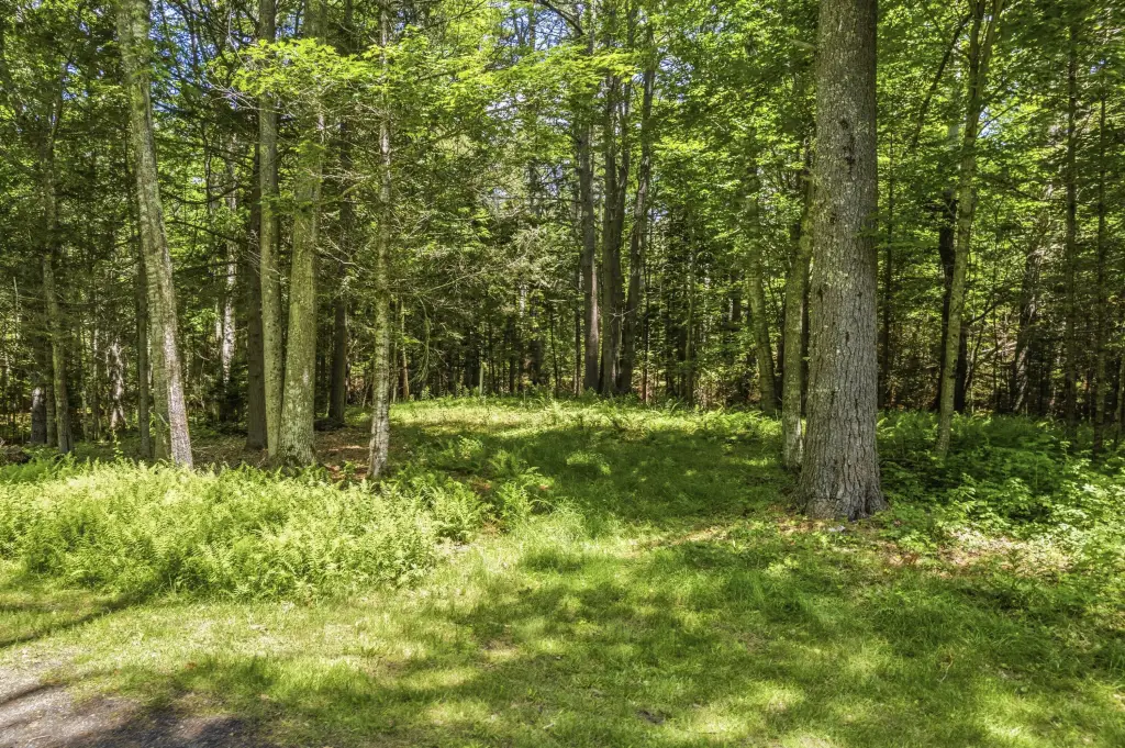
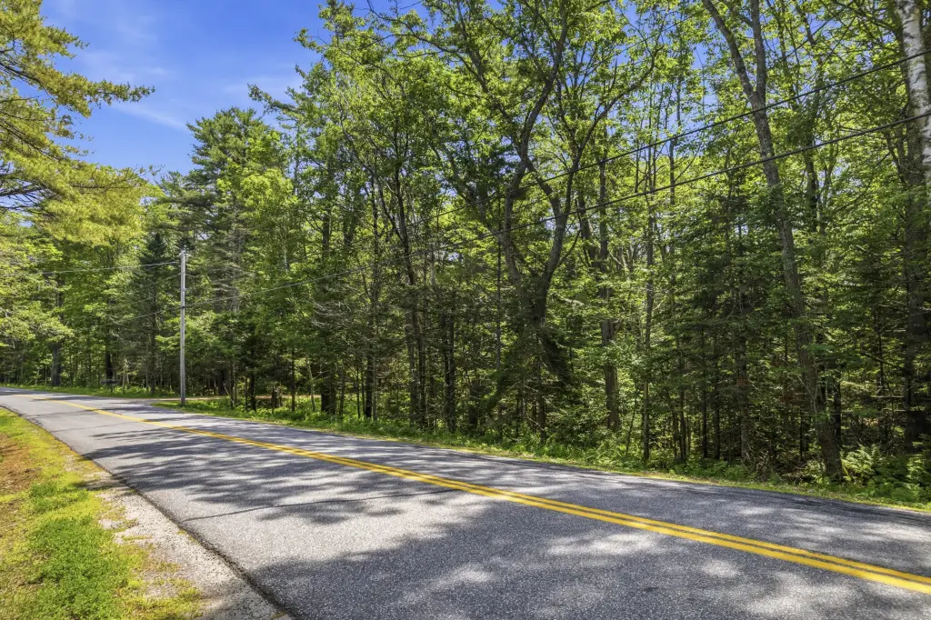
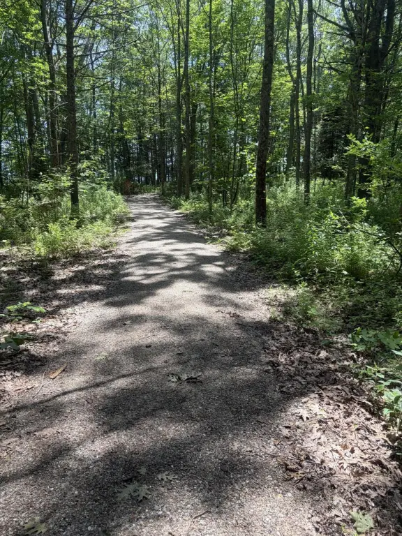
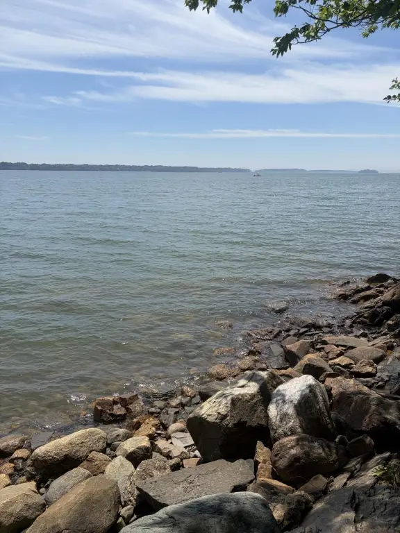
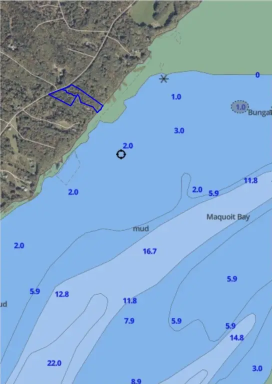
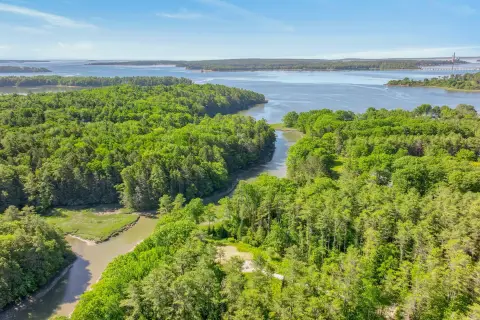
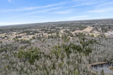
Offered for sale is a wooded waterfront land parcel in the Flying Point area, totaling 2.5+/- acres. The property is bordered by a peaceful stream and offers potential for ocean-breeze enjoyment, with distant ocean glimpses visible through the trees. Development readiness is supported by the fact that the land has already been surveyed and soils have been tested.
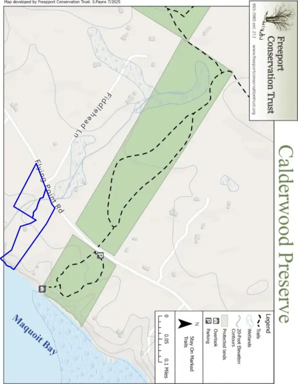
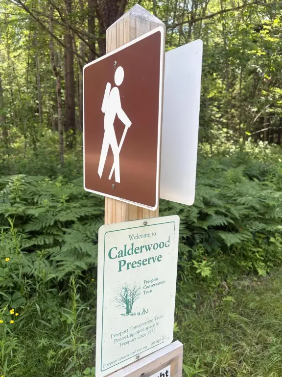
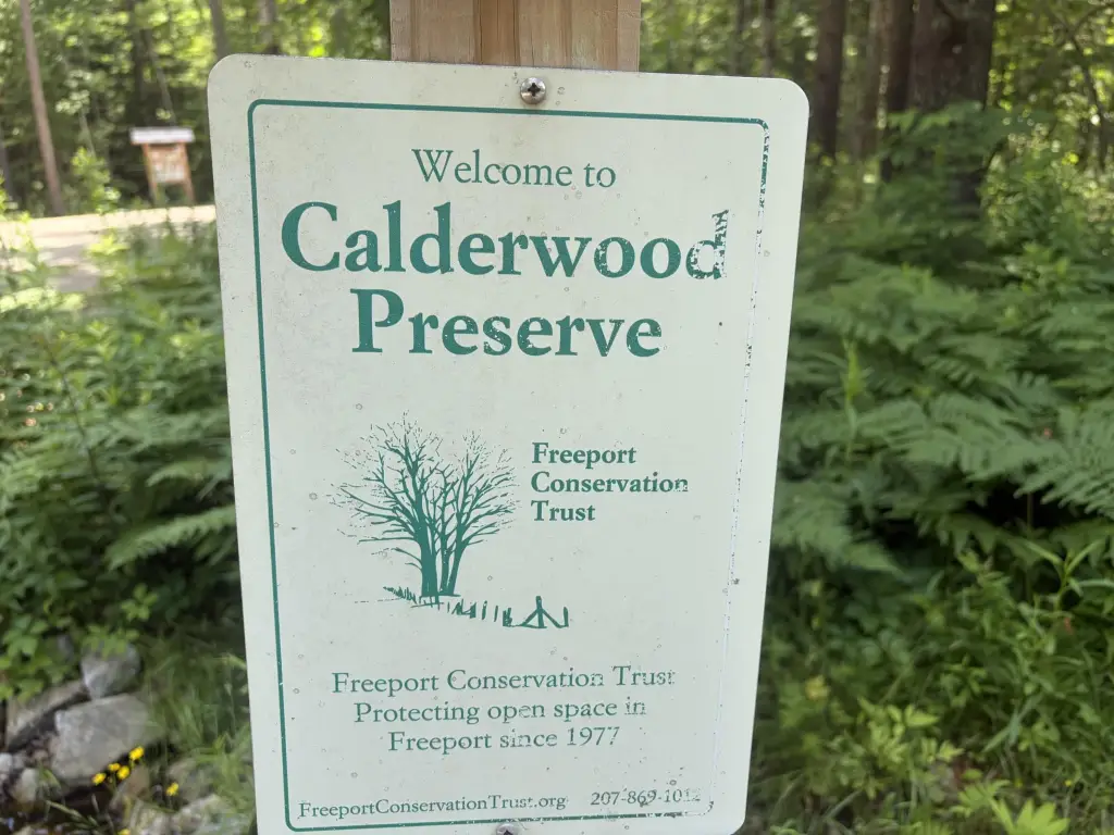
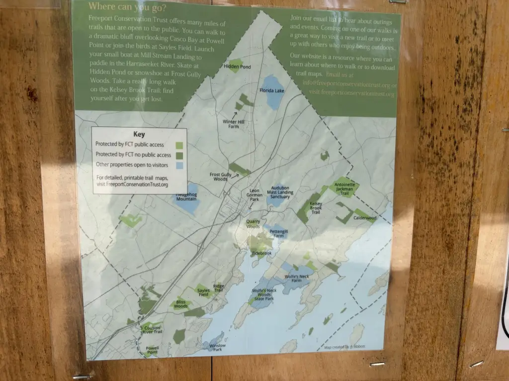
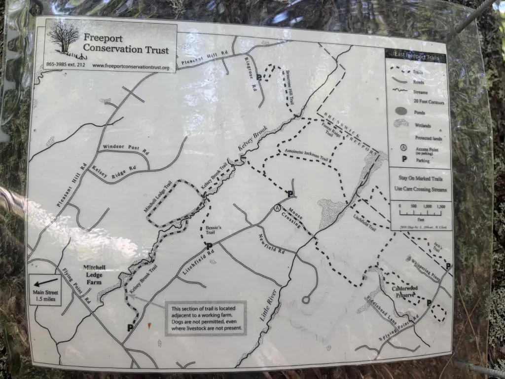
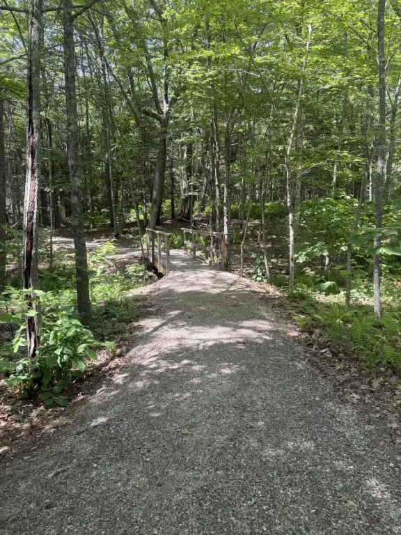
The site is described as being tucked between the Lower Flying Point peninsula and Brunswick’s Bunganuc Landing. The surrounding area includes the Freeport Conservation Trust’s Calderwood Preserve, which features a trail leading to ocean access, along with additional trails for outdoor use. Daily amenities are noted as being within minutes of downtown Brunswick and downtown Freeport, with Portland identified as an approximate 30-minute drive to the south.
For buyers looking to build a custom home or hold a coastal Maine homesite, this property’s combination of wooded privacy, water-adjacent character, and completed due-diligence items (survey and soils testing) can simplify early planning. With its natural setting and proximity to both Brunswick and Freeport amenities, it supports a lifestyle-oriented coastal build in an RR1 zoning context, subject to applicable permitting and approvals.
The site is described as being tucked between the Lower Flying Point peninsula and Brunswick’s Bunganuc Landing. The surrounding area includes the Freeport Conservation Trust’s Calderwood Preserve, which features a trail leading to ocean access, along with additional trails for outdoor use. Daily amenities are noted as being within minutes of downtown Brunswick and downtown Freeport, with Portland identified as an approximate 30-minute drive to the south.
For buyers looking to build a custom home or hold a coastal Maine homesite, this property’s combination of wooded privacy, water-adjacent character, and completed due-diligence items (survey and soils testing) can simplify early planning. With its natural setting and proximity to both Brunswick and Freeport amenities, it supports a lifestyle-oriented coastal build in an RR1 zoning context, subject to applicable permitting and approvals.
Key Highlights
- 2.5+/- acre wooded parcel in the Flying Point area of Maine’s mid‑coast.
- Borders a babbling stream.
- Surveyed and soils tested, ready for your home plans.
Property Analytics
Current Use
Location Intelligence
Trade Area within ½ mile
9
Businesses Nearby
Explore this area
Business Placement
Demographics for 04032, ME
8,737
Population
4,133
Households
2.1
Avg Household Size
47
Median Age
57%
College-Educated
94%
High-School Grad
34.7 sq mi
ZIP Area
252
Density / Sq Mi
$108,864
Median Household Income
$48,222
Median Earnings
$1,436
Median Rent
$445,800
Median Home Value

Questions? Ask Rey
Realmo’s AI knows this listing — price, zoning, demand, history. Ask anything.




Frequently Asked Questions
What type of property is this?
Residential land & home lot - Wooded 2.5+ acre parcel with a bordering stream and ocean-breeze setting, already surveyed and soils tested for development.
Where is this residential land & home lot located?
The property is located at 19_8_1B Flying Point Road Freeport, ME.
What is the asking price?
The asking price for this property is $449,000.
What are key features of this property?
This property features: 2.5+/- acre wooded parcel in the Flying Point area of Maine’s mid‑coast.; Borders a babbling stream.; Surveyed and soils tested, ready for your home plans.