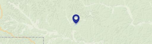
0 Frst Rd Melton, MO 63629
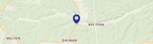
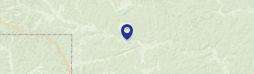
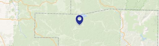
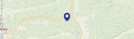
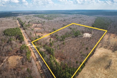
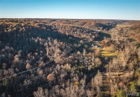
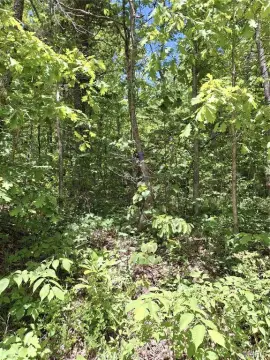
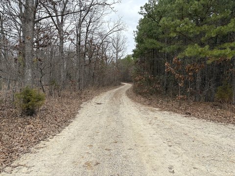
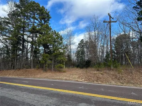
This exceptional 103.43-acre property in Reynolds County, Missouri, presents a unique investment opportunity for outdoor enthusiasts and astute land buyers. Located near Bunker, MO, zip code 63629, this tract boasts abundant wildlife, evidenced by numerous deer trails and rubs, making it ideal for hunting. The property features diverse topography including ridges and valleys, creating prime locations for treestands and blinds. Adding to its appeal, the land is bordered on two sides by thousands of acres of national forest, effectively expanding hunting access. Water sources are plentiful, with waterway valleys on three sides, attracting wildlife. The property's central funnel-like topography further enhances its hunting potential. Beyond hunting, the proximity to the Black River and Meramec River offers excellent fishing and floating opportunities. Furthermore, its convenient location near Current River State Park, Johnson Shut-ins, and Montauk caters to a wide range of outdoor recreational activities. The asking price is $279,000, translating to $2,697.48 per acre. This exceptional property offers a blend of recreational and investment potential in a highly desirable location. The address is 0 US 140 Forest Rd, Melton, MO.
Cap rate
Implied · in-place · derived from last sale + estimated NOIValue
AI, CAP & Alternative Use estimations · Realmo proprietary blendComparables
6 recent transactions · within 1.5 miComparable in this City

Similar Nearby for Sale

Property description
Physical attributes from public recordsZoning & alternative use
No recorded transactions found for this property.
Costs & Benchmarks
Operating expenses, capex projections, utility benchmarks, and submarket comparables — all in one view.
Risks
Flood, climate, environmental, title, and tenant-concentration risk — surfaced with mitigations and source citations.


