Wooded Recreational
For Sale
Contact for pricing
Highway 72, Bunker, MO 63629
Land, Bunker, MO
Property SizeContact for details
Lot Size2.00 Acres
Days on Market104
Property Features for Highway 72
General Information
Property type
Land
Property subtype
Other
Zoning
Recreational
Lot features
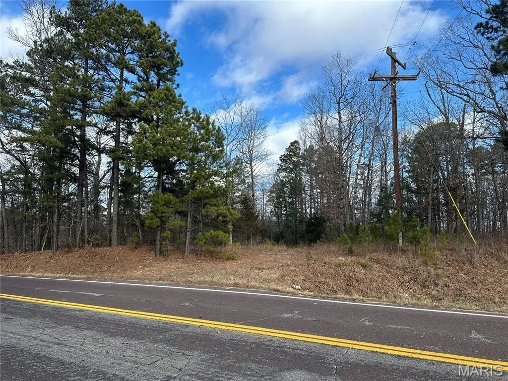
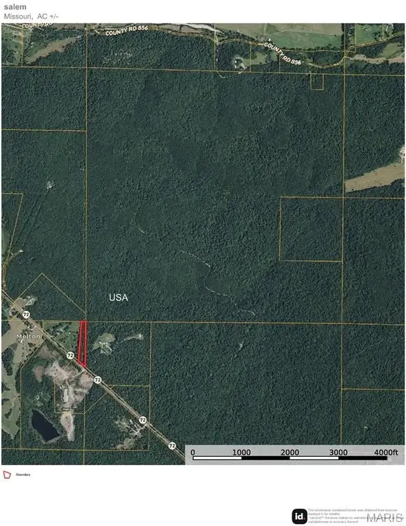
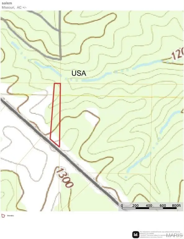
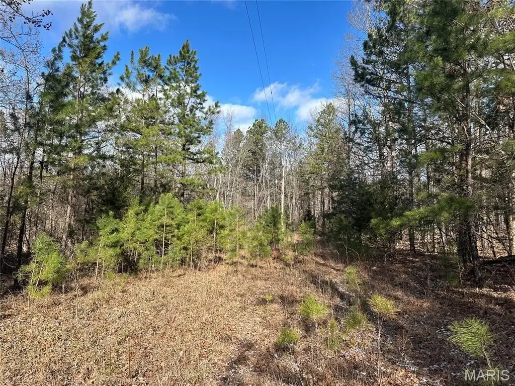
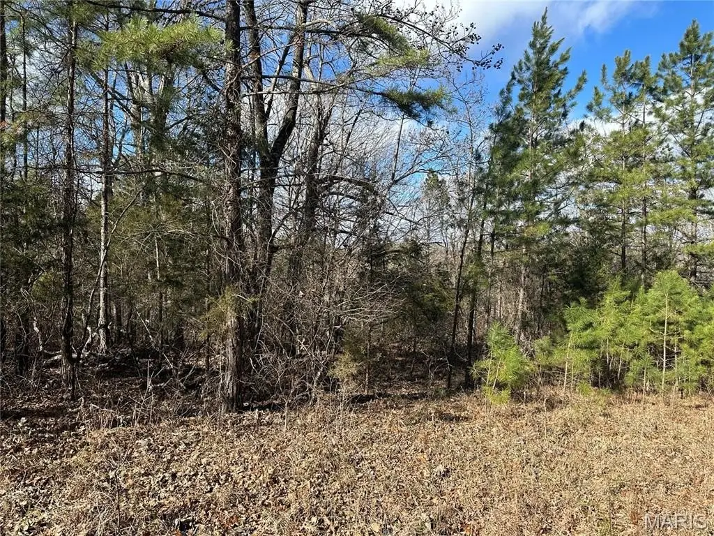
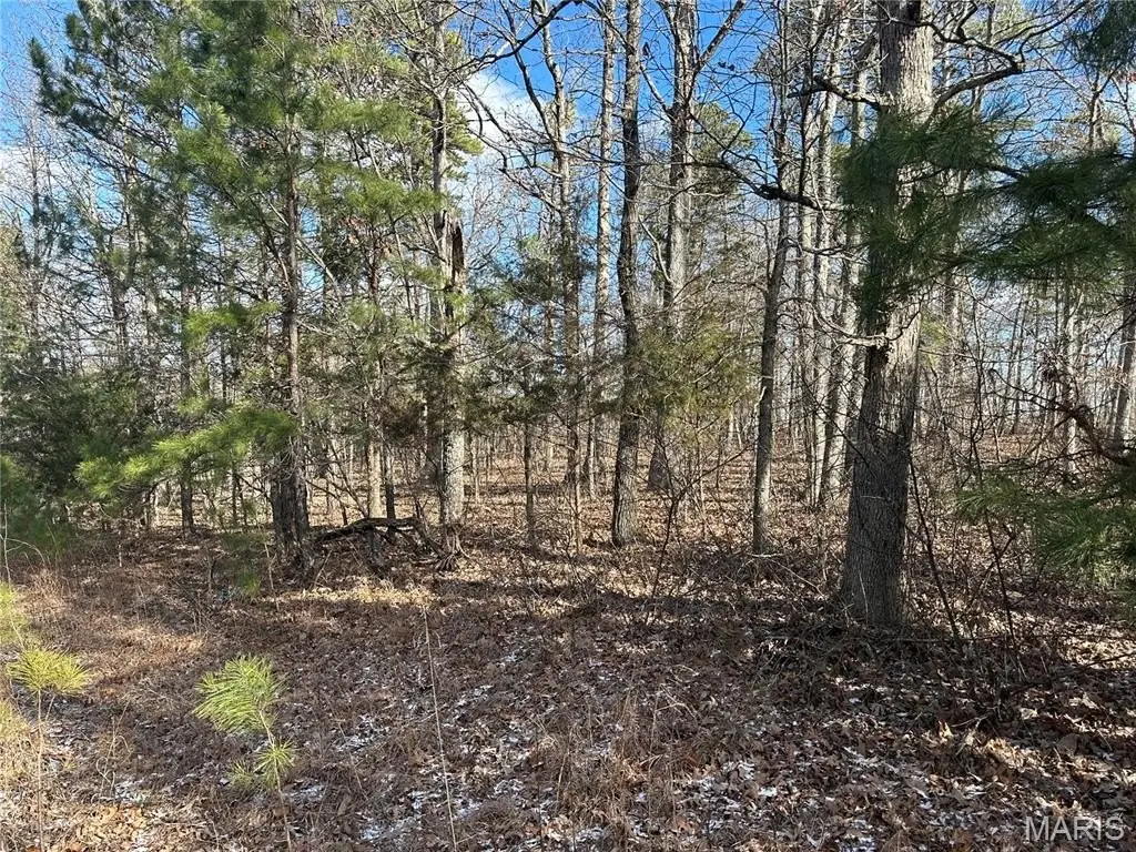
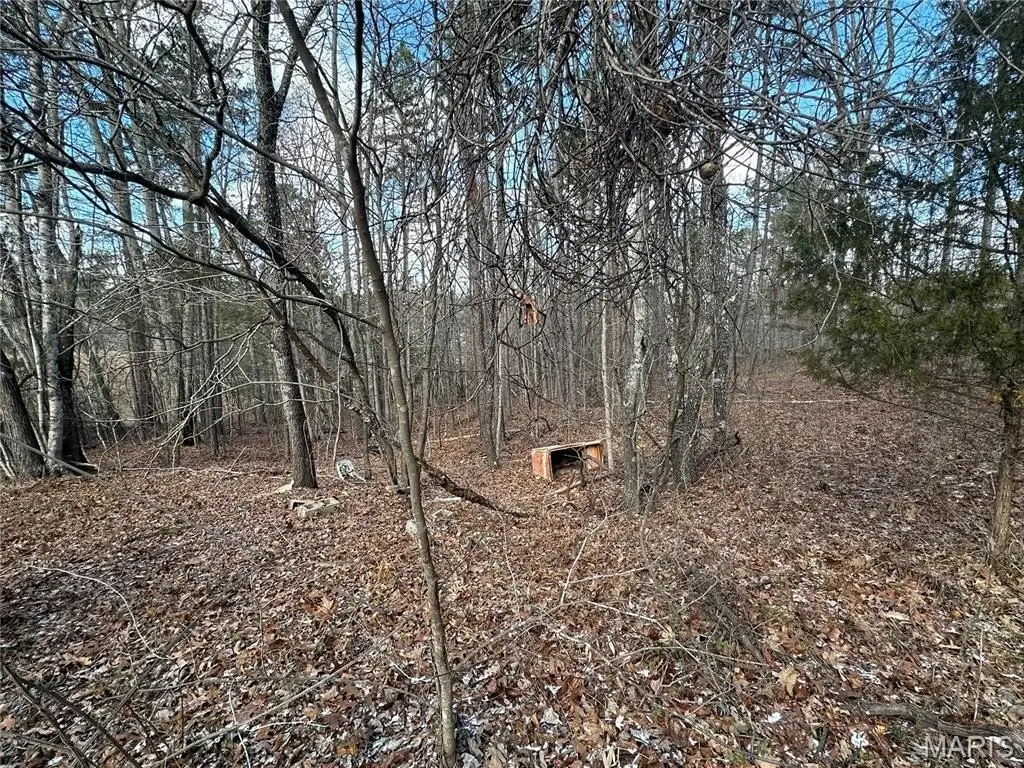
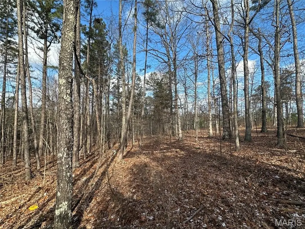
Adjoins Government Land, Irregular Lot, Undeveloped, Wooded
Elementary school
Bunker Elem.
Middle school
Bunker High
High school
Bunker High
Elementary school district
Bunker R-III
Middle school district
Bunker R-III
High school district
Bunker R-III
Directions
From Salem take Highway 72 East, then highway 72 to Bunker. Property is on the left approximately 2 3/4 miles south of Bunker on Highway 72.
Subdivision
742 - Bunker
Standard status
Active
APN
06-0.9-032-000-000-001.00000
Lot size
2.00 Acres
Taxes and HOA fees
Tax Year
2024
Tax Annual Amount
34
Utilities
Water source
Private
Listing Agency:
United Country Salem Realty
(573) 729-3148
Listed By:
Babette Wells
(573) 247-0058
Added: Jul 13
Changed: Sep 25
Last Checked: Oct 24 at 1:06AM
MLS# 26003226
Copyright © 2026 South Central Board of Realtors-MO. All rights reserved. All information provided by the listing agent/broker is deemed reliable but is not guaranteed and should be independently verified.

Ask AI about this property
Review the available facts, identify missing information and prepare questions for the agent.
Investment Insights
Based on property information with market context.
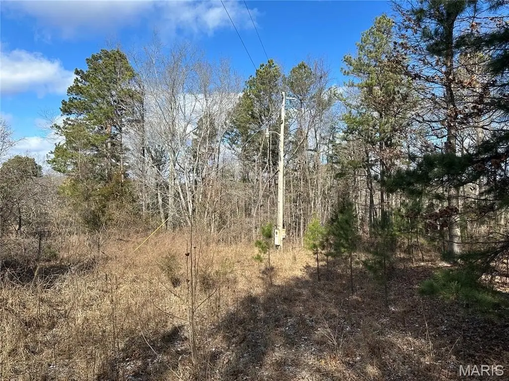
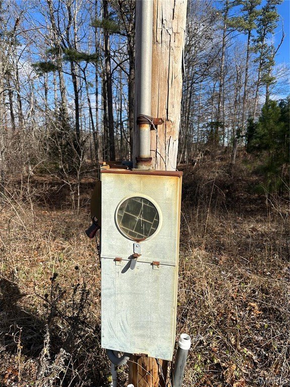
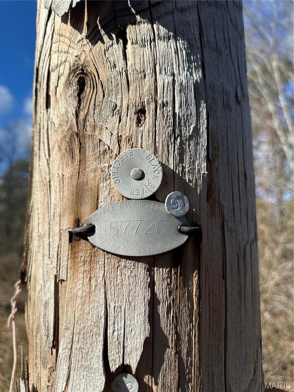
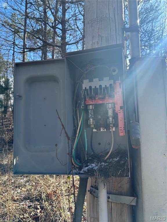
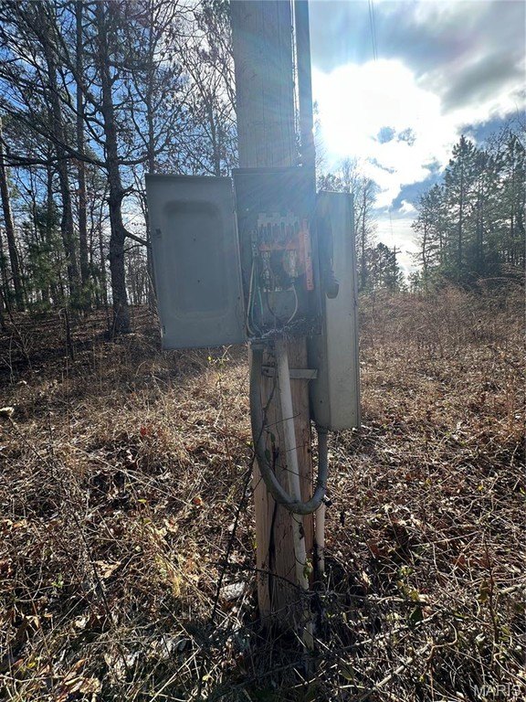
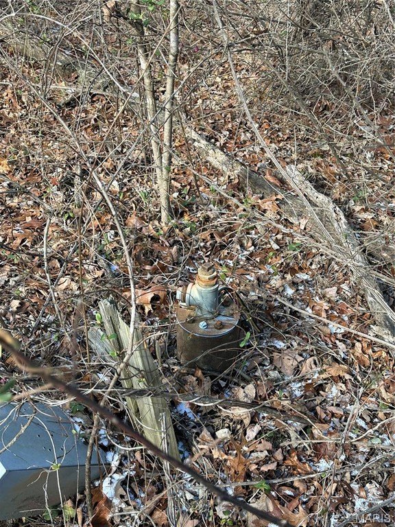
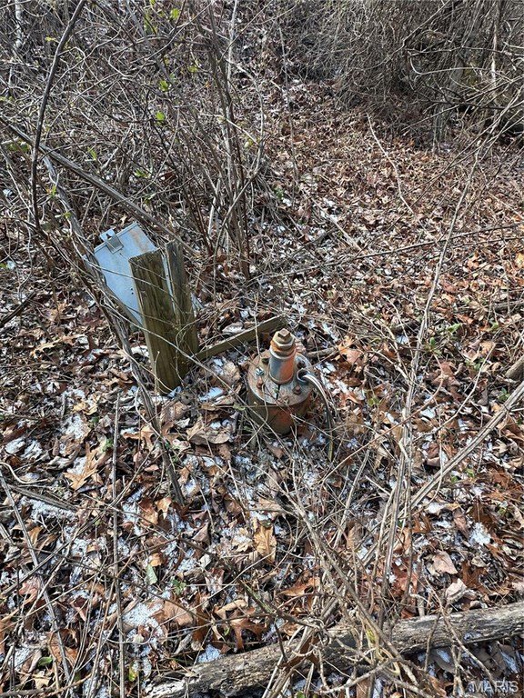
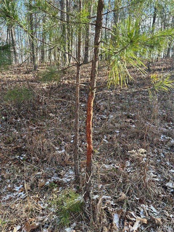
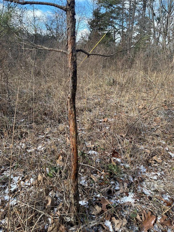
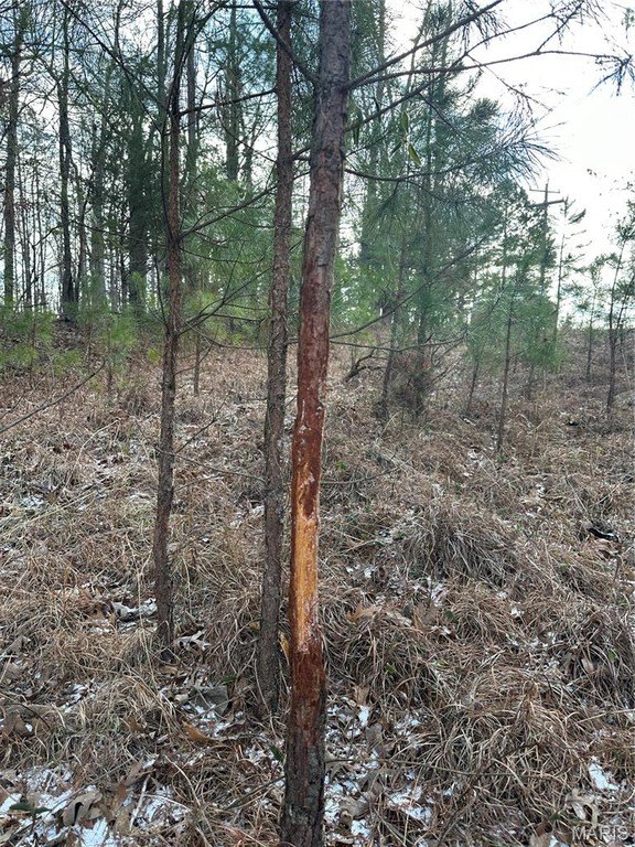
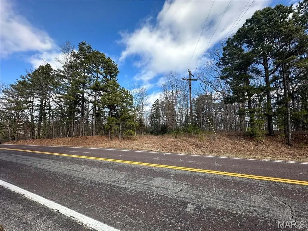
This mostly wooded 2-acre parcel is zoned Recreational and borders Mark Twain National Forest, providing direct access to a large surrounding area used for hunting and hiking. An electric pole is already on site. The property also includes a drilled well, though its condition is unknown.
The parcel is positioned near Sutton Bluffs, Black River, Current River, Clearwater Lake, and Loggers Lake, with area activities that include canoeing, kayaking, fishing, hunting, and hiking. The site may accommodate a hunting cabin or camper, subject to applicable requirements and approvals.
The parcel is positioned near Sutton Bluffs, Black River, Current River, Clearwater Lake, and Loggers Lake, with area activities that include canoeing, kayaking, fishing, hunting, and hiking. The site may accommodate a hunting cabin or camper, subject to applicable requirements and approvals.
Key Highlights
- 2‑acre mostly wooded parcel zoned Recreational
- Corners Mark Twain National Forest
- Electric pole located on site
Property Analytics
Who owns this building?
See the owner, sales and loan history
Open Analytics
Location Intelligence
Trade Area within ½ mile
2
Businesses Nearby
Explore this area
Business Placement
Demographics for 63629, MO
1,049
Population
564
Households
1.9
Avg Household Size
45
Median Age
11%
College-Educated
84%
High-School Grad
289.3 sq mi
ZIP Area
4
Density / Sq Mi
$46,401
Median Household Income
$31,875
Median Earnings
$431
Median Rent
$117,300
Median Home Value
Check the figures for this property
Cap Rate, Value Estimation, Potential NOI and more
View Realmo Analytics
Frequently Asked Questions
What type of property is this?
Land - Mostly wooded acreage with an on-site electric pole and drilled well for recreational use.
Where is this land located?
The property is located at Highway 72 Bunker, MO.
What are key features of this property?
This property features: 2‑acre mostly wooded parcel zoned Recreational; Corners Mark Twain National Forest; Electric pole located on site


