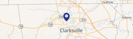
0 Herning Dr Clarksville, TN 37042
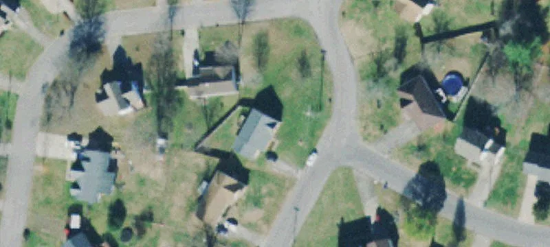
This exceptional 1.2-acre parcel of land, located on Herning Drive in Clarksville, Tennessee, presents a remarkable opportunity for residential development. Zoned R-4, this property offers significant potential for the construction of houses or apartments. The expansive lot size provides ample space for a variety of building plans, catering to diverse development needs. Conveniently situated in Montgomery County, zip code 37042, this location benefits from easy access to city amenities and infrastructure. A key advantage is the availability of city sewer and water services directly at the street, simplifying the development process and reducing infrastructure costs. The asking price of $175,000 represents a compelling investment opportunity given the land's size, zoning, and prime location within Clarksville. This property is ideal for builders, developers, or investors seeking a strategic entry point into the thriving Clarksville real estate market. The property's address is Herning Dr, Clarksville, TN 37042, with GPS coordinates 36.5482655 latitude and -87.3882506 longitude. Serious inquiries are encouraged to explore the full potential of this exceptional land offering.
Cap rate
Implied · in-place · derived from last sale + estimated NOIValue
AI, CAP & Alternative Use estimations · Realmo proprietary blendComparables
6 recent transactions · within 1.5 miComparable in this City


Similar Nearby for Sale


Similar Nearby for Lease


Property description
Physical attributes from public recordsZoning & alternative use
No recorded transactions found for this property.
Costs & Benchmarks
Operating expenses, capex projections, utility benchmarks, and submarket comparables — all in one view.
Risks
Flood, climate, environmental, title, and tenant-concentration risk — surfaced with mitigations and source citations.


