Property summary
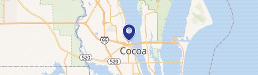
This exceptional 2.09-acre commercial land parcel in Port St. John, Florida, presents a unique investment opportunity. Located on Curtis Boulevard, this rectangular lot boasts 397 feet of frontage and enjoys a prime location directly across from a charter school and childcare center. Zoned IU - Light Industrial, this property allows for diverse uses, including those permitted in BU-1 and BU-2 classifications, excluding single-family residences. The future land use designation is IND INDUSTRIAL. Conveniently situated less than a mile from US Highway 1 and five miles from Interstate 95, via Fay Boulevard and Grissom Parkway, this site offers unparalleled accessibility. This is the largest platted, entitled commercial lot in Port St. John and uniquely features central sewer and reclaimed water—a significant advantage west of the railroad tracks. The property benefits from extensive pre-development work, including full mitigation for scrub jays and tortoises, a master-designed stormwater system maximizing usable building area, high soil percolation rates minimizing drainage requirements, and recorded deed restrictions ensuring quality development. Utilities are established, including City of Cocoa water, Brevard County reclaimed water, central sewer, FPL power, and Brighthouse internet. Nearby successful developments include a Beef O'Brady's restaurant and an expanded Horizon Mini Storage facility. Additionally, a Victory Baptist Church campus is slated for construction. National chains like Shell, Dunkin' Donuts, True Value Hardware, and Beef O'Brady's are already established in the immediate vicinity. The property's APN is 23-35-13-RT-B-4, and the tax ID is 2322556. The asking price is $499,999.
Property profile
VerifiedCap rate & NOI
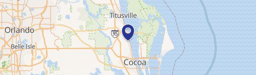
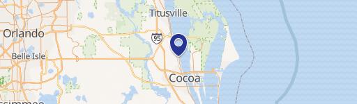
Location
Value estimations
Owner & transaction history
Comparables
6 recent transactions · within 1.5 miComparable in this City


Similar Nearby for Sale



Similar Nearby for Lease


Value estimation
Instant AI valuation built from comps, income signals, and proprietary benchmarks. A defensible range, not a single guess.
from $99/month
Cap rate
Cap rate calculated from real income and expense signals, benchmarked against sales of similar assets nearby.
from $99/month
Property description
Physical attributes from public recordsZoning & alternative use
Zoning
The recorded zoning designation, what the district officially allows, and the municipal source it comes from.
No zoning code is on file for this parcel. Zoning coverage grows with every catalog release — check back, or open Location Intelligence for use analysis of this corner.
Find the owner behind the property.
Unlock the evidence behind ownership: portfolio, transactions, debt and signals that help you decide who to contact next.
Registration is required before any owner information is shown.
- Full Property Data
- Historical Records
- Value Estimation
- NOI Potential
- Cap Rate Calculation
- Ownership
- Location Insight
- Alternative use
- Local Zoning Insight
Cancel anytime.
- 30 reports a month
- Location Analytics
- Market Trends
- Full Property Data
- Historical Records
- Value Estimation
- NOI Potential
- Cap Rate Calculation
- Ownership
- Location Insight
- Alternative use
- Local Zoning Insight
Cancel anytime.
- 300 reports a month
- Location Analytics
- Market Trends
- Full Property Data
- Historical Records
- Value Estimation
- NOI Potential
- Cap Rate Calculation
- Ownership
- Location Insight
- Alternative use
- Local Zoning Insight
and get 1 Light Report
- Property Information
- Historical Records
- Value Estimation
- NOI Potential
- Cap Rate Potential
- Location Insight
- Alternative use
- Local Zoning Insight


