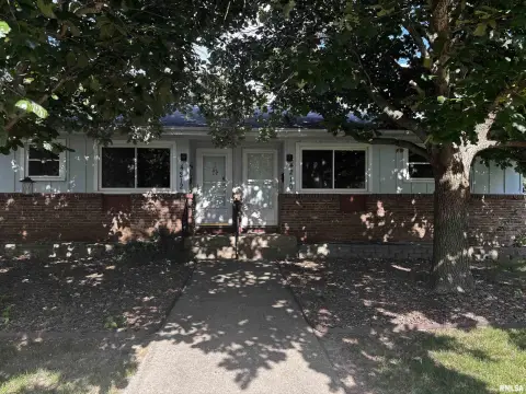
0 Sheridan Rd Peoria, IL 61614
This exceptional 1.09-acre property in Peoria, Illinois, presents a unique investment opportunity. Situated on Sheridan Road, this high-visibility location boasts five interconnected vacant parcels, ideal for diverse development. Three parcels, totaling 0.62 acres, are zoned O-1, permitting Arterial Office use, while two additional parcels, encompassing 0.47 acres, are zoned R-3, allowing for residential development. The parcels' interconnected nature offers flexibility for a cohesive project. The property's address is Sheridan Road, Peoria, IL 61614, with GPS coordinates 40.7434937 latitude and -89.6030252 longitude. The asking price for this entire 1.09-acre assemblage is $99,900. The individual parcel numbers are 1421354003, 1421354004, 1421354005, 1421354013, and 1421354010. This prime location offers significant potential for developers seeking a mixed-use project in a high-traffic area of Peoria County. The property is conveniently located within Peoria city limits. This is a rare opportunity to acquire a substantial land holding with flexible zoning in a desirable location.
Cap rate
Implied · in-place · derived from last sale + estimated NOIValue
AI, CAP & Alternative Use estimations · Realmo proprietary blendComparables
6 recent transactions · within 1.5 miComparable in this City


Similar Nearby for Sale


Similar Nearby for Lease


Property description
Physical attributes from public recordsZoning & alternative use
No recorded transactions found for this property.
Costs & Benchmarks
Operating expenses, capex projections, utility benchmarks, and submarket comparables — all in one view.
Risks
Flood, climate, environmental, title, and tenant-concentration risk — surfaced with mitigations and source citations.


