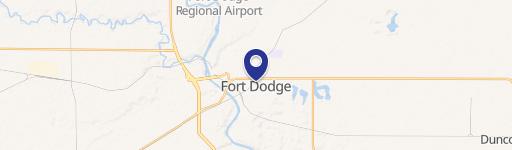
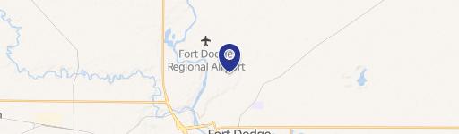
0 Parcel 0613352005 Fort Dodge, IA 50501
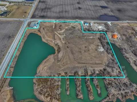
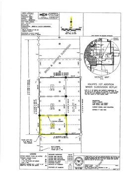
This exceptional 8.32-acre parcel, identified by APN 0613352005, presents a significant commercial development opportunity in Fort Dodge, Iowa. Located in Webster County, at the address PARCEL 0613352005, zip code 50501 (latitude 42.5136902, longitude -94.19234), this property is zoned for commercial use under the "Other" designation. The expansive lot size offers considerable flexibility for a variety of commercial ventures. The asking price for this strategically located land is $439,000. Given its size and zoning, this property is ideal for businesses seeking a prominent presence in a growing Iowa market. Serious inquiries are encouraged to explore the potential of this valuable asset and its suitability for specific commercial development plans. The property is ready for immediate development, offering a unique chance to establish a strong foothold in the Fort Dodge commercial landscape. Further details regarding permitted uses under the "Other" zoning classification are available upon request. This is a rare opportunity to acquire a substantial commercial land parcel in a desirable location.
Cap rate
Implied · in-place · derived from last sale + estimated NOIValue
AI, CAP & Alternative Use estimations · Realmo proprietary blendComparables
6 recent transactions · within 1.5 miComparable in this City


Similar Nearby for Sale


Property description
Physical attributes from public recordsZoning & alternative use
No recorded transactions found for this property.
Costs & Benchmarks
Operating expenses, capex projections, utility benchmarks, and submarket comparables — all in one view.
Risks
Flood, climate, environmental, title, and tenant-concentration risk — surfaced with mitigations and source citations.


