Current Use by Public Records
- Land
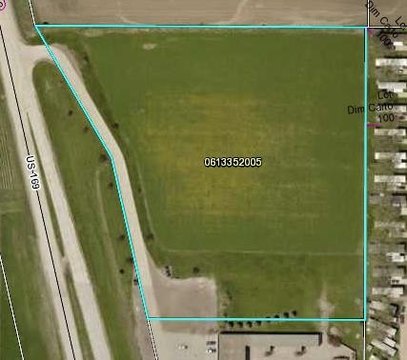
Property Details for Dodge 1.7 Ft
- Lot size
- 1.70 lot acres
- Property type
- Land
Description
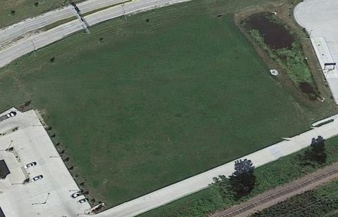
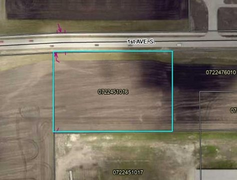
This exceptional 1.7-acre commercial land parcel presents a unique investment opportunity in Fort Dodge, Iowa. Located in Webster County, with a zip code of 50501, this level lot boasts convenient access to city utilities, including readily available city water, electricity, and natural gas. The property's APN is 0727226006. Its flat topography makes it ideal for a variety of commercial developments. The zoning and survey details are currently classified as "Other," requiring further investigation by prospective buyers. This versatile land offers significant potential for various commercial uses, making it an attractive proposition for entrepreneurs and investors seeking a strategic location in a thriving Iowa community. The asking price for this exceptional property is $170,000. The property's geographical coordinates are latitude 42.4974694 and longitude -94.1680158. Serious inquiries are encouraged to explore the possibilities this prime commercial land offers.
Value Estimations
-
AI approach
-
CAP approach
-
Comparable approach
-
Alternative Use
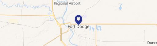
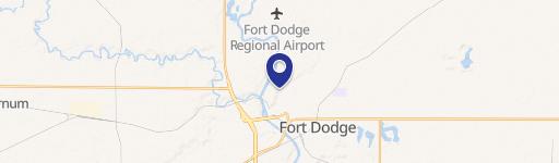
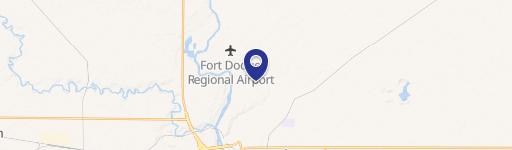
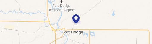
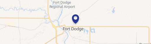
Location Insight
- Map
- Local Demand
- City
- Fort Dodge
- County
- Webster
- State
- Iowa
- Longitude
- -94.168
- Latitude
- 42.4975