
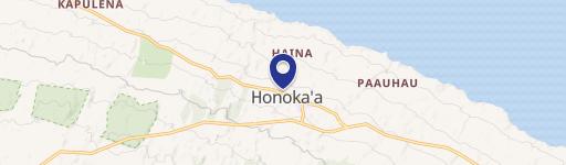
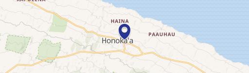
0 Kia Manu Rd, Honokaa, HI 96727
This exceptional 28.43-acre agricultural property in Honokaa, Hawaii, presents a unique investment opportunity. Located on Kia Manu Rd, zip code 96727, this land boasts breathtaking ocean views and is conveniently situated just minutes from downtown Honokaa. The property is zoned Ag-20, allowing for various agricultural uses. Its rich history includes past use by the Haina sugarcane mill. The parcel number is 4-5-002-061, documented in RPGR 2051, 1968, and 1965. Detailed records show the lot as 9A, encompassing 28.426 acres. This expansive land offers significant potential for farming, ranching, or other agricultural ventures. Note that an adjacent 8.8-acre industrial parcel is also available for purchase separately. The property's prime location and stunning views make it an attractive proposition for those seeking a piece of Hawaii's agricultural landscape. The coordinates are 20.0942161 latitude and -155.46666905 longitude. The asking price for this remarkable property is $995,000.
Cap rate
Implied · in-place · derived from last sale + estimated NOIValue
AI, CAP & Alternative Use estimations · Realmo proprietary blendComparables
6 recent transactions · within 1.5 miComparable in this City

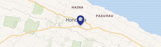
Similar Nearby for Sale
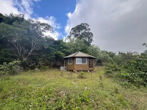
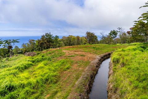
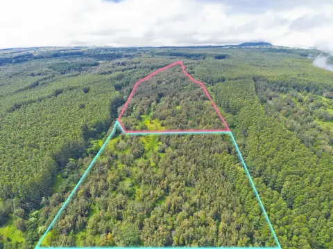

Property description
Physical attributes from public recordsZoning & alternative use
No recorded transactions found for this property.
Costs & Benchmarks
Operating expenses, capex projections, utility benchmarks, and submarket comparables — all in one view.
Risks
Flood, climate, environmental, title, and tenant-concentration risk — surfaced with mitigations and source citations.


