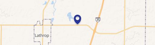
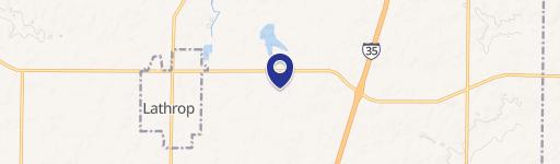
0 Brangus Rd Lathrop, MO 64465
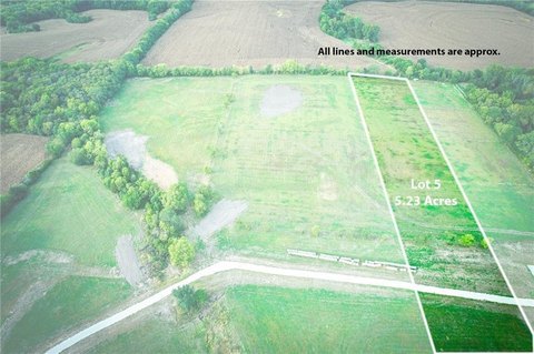
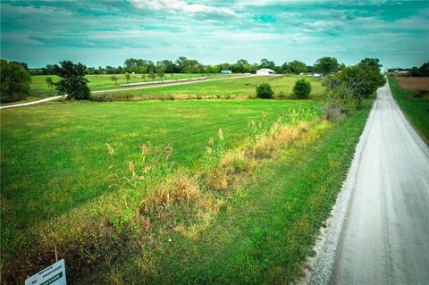
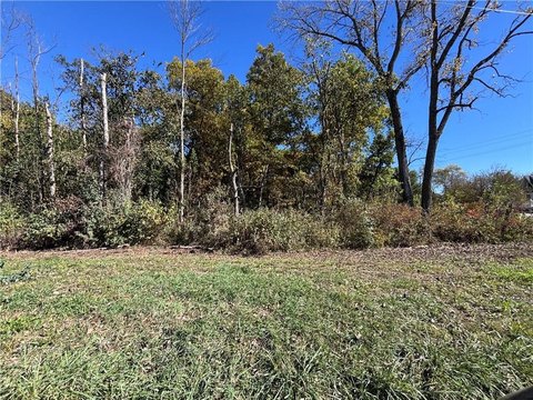
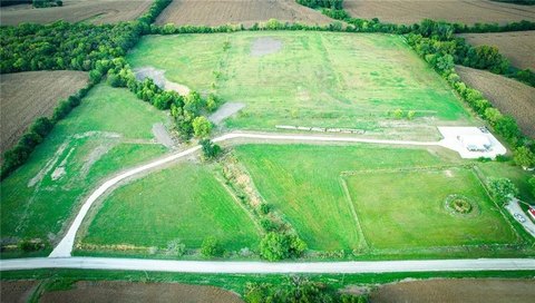
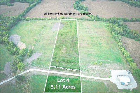
This 80.1-acre Missouri farmland property in Lathrop, Clinton County (zip code 64465), presents a compelling investment opportunity. Currently generating income via a contract in place through 2024 at $165 per acre for 47 tillable row crop acres, this versatile land offers significant potential for various agricultural uses, including cultivation and livestock. A survey, ordered July 1st, 2024, is pending, with results expected within six weeks. The survey will finalize boundary lines and detail an existing easement along the north property line, turning south, and specify land owned by a neighbor. An estimated 2.3 acres are located within a flood zone (refer to the floodplain map). Note that the creek providing neighbor access is on landlocked property. This property is part of a larger offering
Cap rate
Implied · in-place · derived from last sale + estimated NOIValue
AI, CAP & Alternative Use estimations · Realmo proprietary blendComparables
6 recent transactions · within 1.5 miComparable in this City


Similar Nearby for Sale

Property description
Physical attributes from public recordsZoning & alternative use
No recorded transactions found for this property.
Costs & Benchmarks
Operating expenses, capex projections, utility benchmarks, and submarket comparables — all in one view.
Risks
Flood, climate, environmental, title, and tenant-concentration risk — surfaced with mitigations and source citations.


