Current Use by Public Records
- Land
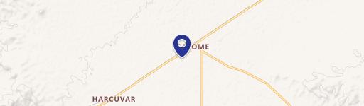
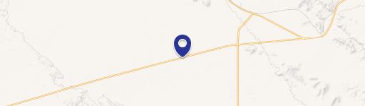
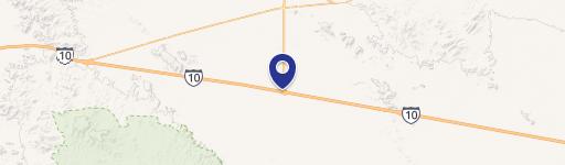
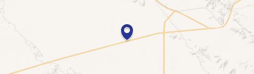
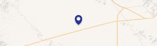
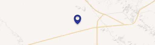
Property Details for 0 Us Hwy 60 & Mcvay Rd
- Property type
- Land
- Property subtype
- Industrial properties
Description
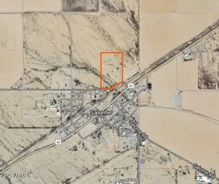
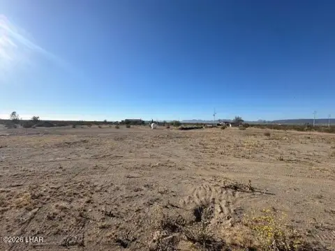
This ±79.07-acre parcel of raw land presents a unique investment opportunity in Salome, Arizona. Strategically located off Interstate 10, less than 50 miles from the California/Arizona border, this property boasts exceptional accessibility and visibility. Currently zoned Agricultural (AG) by La Paz County, the land offers considerable flexibility for diverse development projects. Envisioned uses include RV parks, mobile home communities, or mixed-use developments, capitalizing on the area's growing demand. The property's proximity to US Highway 60 and McVay Road ensures high traffic exposure. Furthermore, outdoor enthusiasts will appreciate its access to the Arizona Peace Trail, a 675-mile OHV loop trail, providing significant recreational potential. The site also presents substantial potential for solar power generation and battery storage solutions, given the abundant sunshine in this region. The La Paz County Assessor's Parcel Number (APN) is 305-17-012A. This versatile land offers a compelling blend of commercial, recreational, and industrial possibilities, making it an attractive investment for developers and entrepreneurs alike. The location, just south of US 60 and less than 50 miles from Blythe, CA, further enhances its appeal and market value.
Value Estimations
-
AI approach
-
CAP approach
-
Comparable approach
-
Alternative Use
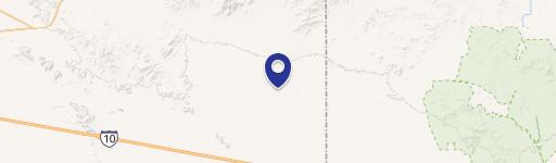
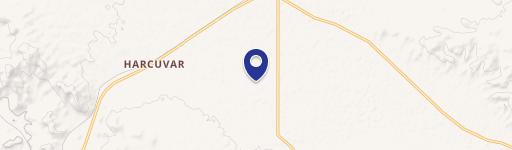
Location Insight
- Map
- Local Demand
- City
- Salome
- County
- La Paz
- State
- Arizona
- Longitude
- -113.819
- Latitude
- 33.7083