Current Use by Public Records
- Land
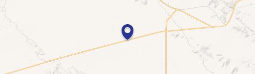
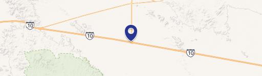
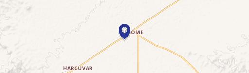
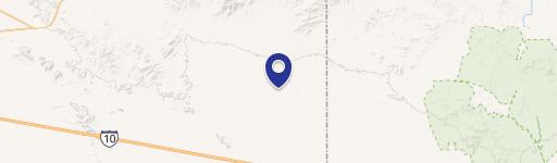
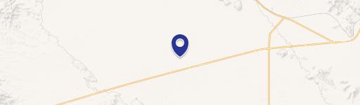
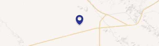
Property Details for 0 Hwy 60 & Mcvay Rd
- Property type
- Land
Description
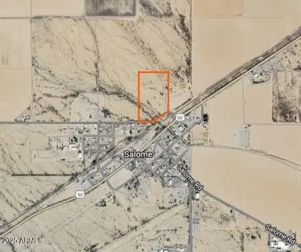
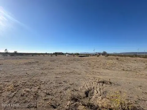
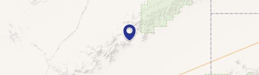
This expansive 6,159,384 square foot commercial land parcel presents a unique investment opportunity in Salome, Arizona. Located at the intersection of Hwy 60 and McVay Rd, the property boasts significant highway frontage, offering excellent visibility and accessibility. The land is characterized by its beautiful, undeveloped Arizona desert landscape. The property's APN is 305-18-012D, 012F, 018A, 002, and is situated in La Paz County, zip code 85348 (latitude 33.7083085, longitude -113.8192328). Three-phase power is available on-site, and the location presents strong potential for billboard advertising. The property was originally acquired for the development of an RV park resort, but its versatility allows for a range of alternative uses. Potential applications include a dairy farm, melon farm, solar farm, or even a secluded retreat. The parcel lies west of the Harquahala Irrigation Non-Exempt area, potentially simplifying well approval processes. Water wells in the area typically range from 200 to 300 feet deep. This significant land holding can be purchased individually or as part of a larger package deal that includes adjacent parcels. This is a prime opportunity for investors seeking a large-scale development project in a unique and desirable location.
Value Estimations
-
AI approach
-
CAP approach
-
Comparable approach
-
Alternative Use
Location Insight
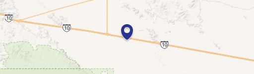
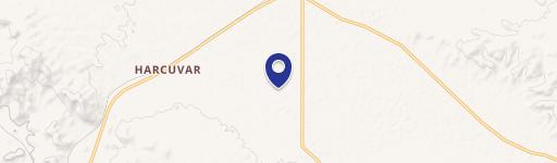
- Map
- Local Demand
- City
- Salome
- County
- La Paz
- State
- Arizona
- Longitude
- -113.819
- Latitude
- 33.7083