0 Of Rufus Rd. And Log Cabin In Kyle Cyn Las Vegas, NV 89166
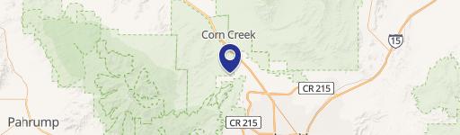
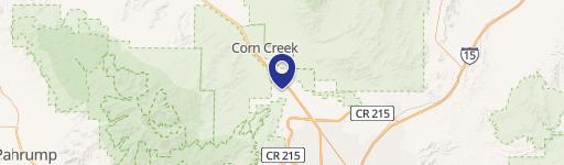
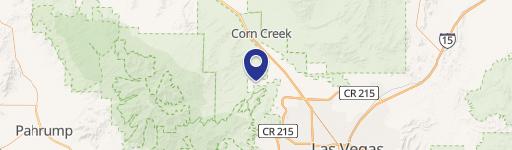
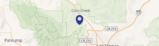
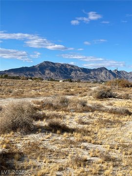
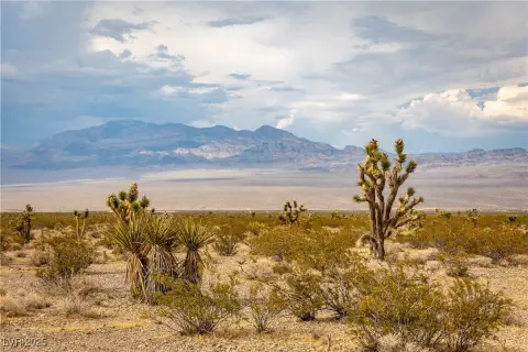
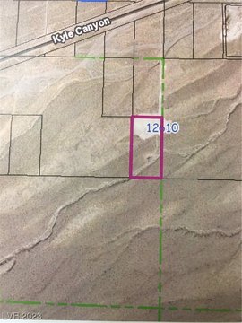
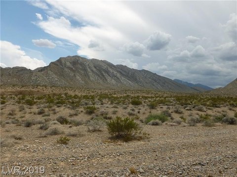
This exceptional 2.06-acre parcel presents a unique investment opportunity in the desirable Kyle Canyon area of Las Vegas, Nevada. Located just northeast of the intersection of Rufus Road and Log Cabin Way, this raw, unimproved land offers significant potential for residential development. The property is conveniently situated west of the expansive 1,700-acre Skye Canyon Master Planned Development and a forthcoming 1,092-acre USAF development, suggesting strong future growth in the area. The property's zoning is Undeveloped (Planned Community Development) (U(PCD)), and its planned land use is Incorporated Clark County (INCORP). Major utilities are planned for the area, and the Nevada Department of Transportation (NDOT) master plan is currently underway, further enhancing the property's long-term prospects. The APN is 126-02-601-004, and the ownership is fee simple. This is a rare chance to acquire a substantial land holding in a rapidly developing part of Las Vegas. All serious offers will be considered. Please note that while the information provided is believed to be accurate, neither the seller nor any associated parties guarantee its complete accuracy. Price and availability are subject to change without notice. The property's address is specified as 2.06 ac just NE of Rufus Rd. and Log Cabin in Kyle Canyon, Las Vegas, NV 89166. The latitude and longitude coordinates are 36.3286565, -115.3422475 respectively.
Cap rate
Implied · in-place · derived from last sale + estimated NOIValue
AI, CAP & Alternative Use estimations · Realmo proprietary blendComparables
6 recent transactions · within 1.5 miComparable in this City

Similar Nearby for Sale


Property description
Physical attributes from public recordsZoning & alternative use
No recorded transactions found for this property.
Costs & Benchmarks
Operating expenses, capex projections, utility benchmarks, and submarket comparables — all in one view.
Risks
Flood, climate, environmental, title, and tenant-concentration risk — surfaced with mitigations and source citations.


