
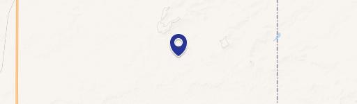
NHN1 Anderson Rd, Power, MT 59468
This exceptional 160-acre agricultural property presents a compelling investment opportunity in Cascade County, Montana. Located near the town of Power, this expansive parcel is currently under cultivation as dry land spring fallow, offering immediate potential for agricultural use. The property's address is NHN1 Anderson Road, Power, MT 59468, with GPS coordinates of 47.6231381 latitude and -111.536772 longitude. The land is classified as agricultural and is ideally situated within a thriving agricultural community. The asking price for this significant landholding is $800,000. Given its size and location, this property is well-suited for a variety of agricultural endeavors, making it an attractive prospect for both established farmers and new entrants to the market. The property's current state as spring fallow suggests a history of productive use, indicating fertile soil and favorable growing conditions. Prospective buyers are encouraged to conduct their own due diligence to fully assess the property's potential and suitability for their specific agricultural plans. This represents a rare chance to acquire a substantial tract of land in a desirable Montana location. The property's proximity to Power offers convenient access to local amenities and services. Serious inquiries are welcome.
Cap rate
Implied · in-place · derived from last sale + estimated NOIValue
AI, CAP & Alternative Use estimations · Realmo proprietary blendComparables
6 recent transactions · within 1.5 miComparable in this City


Property description
Physical attributes from public recordsZoning & alternative use
No recorded transactions found for this property.
Costs & Benchmarks
Operating expenses, capex projections, utility benchmarks, and submarket comparables — all in one view.
Risks
Flood, climate, environmental, title, and tenant-concentration risk — surfaced with mitigations and source citations.


