Current Use by Public Records
- Land
Property Details for 251 N &
- Lot size
- 107.03 lot acres
- Property type
- Land
Description
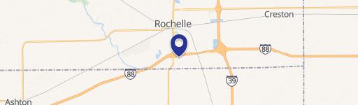
This exceptional 107.03-acre property presents a unique development opportunity in Rochelle, Illinois. Strategically located east of Route 251 (N 7th St) and south of Flagg Street in Winnebago County (zip code 61068), this expansive parcel boasts multiple PIN numbers and is offered subject to offer. The land is zoned for a variety of uses, including R5 Multi-Family High Density Residential District, R3 Single Family High Density Residential District, and B2 Commercial Highway District, providing flexibility for diverse development plans. Benefit from low Ogle County taxes and excellent accessibility. High traffic counts ensure strong visibility and potential for commercial success: 14,800 vehicles daily on Route 251 and 5,900 vehicles daily on East Flagg Street. Convenient access to I-88 via 7th Street further enhances its strategic location. This substantial land holding offers significant potential for developers seeking a prime location with diverse zoning options and attractive tax benefits. Detailed information and further specifics are available upon request. Don't miss this opportunity to acquire a substantial parcel in a rapidly growing area.
Value Estimations
-
AI approach
-
CAP approach
-
Comparable approach
-
Alternative Use
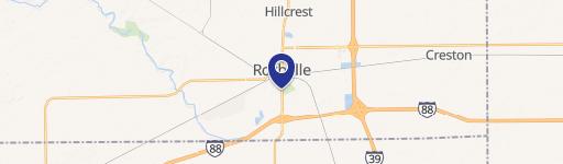
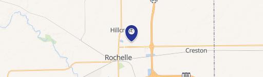
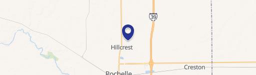
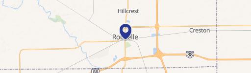
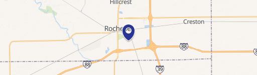
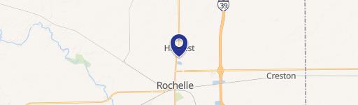
Location Insight
- Map
- Local Demand
- City
- Rochelle
- County
- Winnebago
- State
- Illinois
- Longitude
- -89.0645
- Latitude
- 41.9548