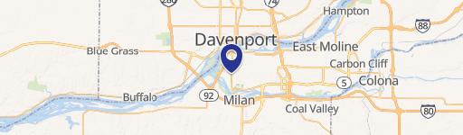
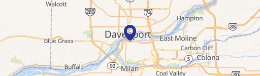
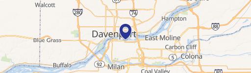
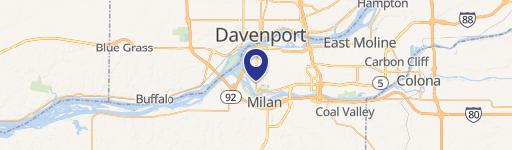
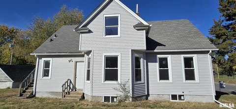
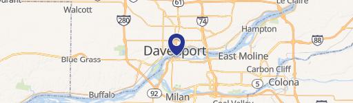
0 Parcel #105208 Rock Island, IL 61201
This exceptional commercial land parcel, identified as Parcel #105208, 10529, presents a unique investment opportunity in Rock Island, Illinois. Located in Rock Island County, zip code 61201, this property boasts a versatile zoning designation of B4 - Highway Business, making it ideal for a variety of commercial ventures. The lot size offers significant flexibility, ranging from 2.78 to 19.37 acres, allowing for development tailored to specific needs. The property's address is Parcel #105208, 10529, and its geographical coordinates are 41.4898568 latitude and -90.5730713 longitude. The city of Rock Island may consider rezoning applications to accommodate office, multi-family residential, or retail uses, further enhancing the property's potential. The parcel is sub-dividable, providing options for smaller-scale developments or partnerships. The asking price is negotiable, making this an attractive proposition for developers and investors seeking a strategic location with considerable development potential. This prime commercial land offers a rare chance to secure a significant footprint in a thriving area. Contact us today to discuss this exciting opportunity.
Cap rate
Implied · in-place · derived from last sale + estimated NOIValue
AI, CAP & Alternative Use estimations · Realmo proprietary blendComparables
6 recent transactions · within 1.5 miComparable in this City


Similar Nearby for Sale


Similar Nearby for Lease


Property description
Physical attributes from public recordsZoning & alternative use
No recorded transactions found for this property.
Costs & Benchmarks
Operating expenses, capex projections, utility benchmarks, and submarket comparables — all in one view.
Risks
Flood, climate, environmental, title, and tenant-concentration risk — surfaced with mitigations and source citations.


