Property summary
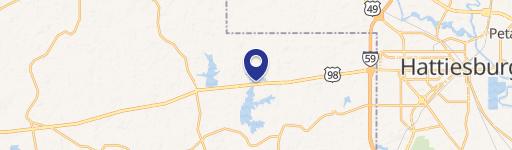
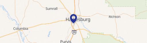
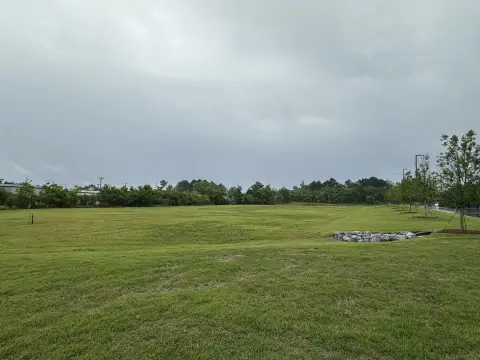
This exceptional 34-acre commercial land tract is strategically located approximately two miles south of Interstate 59, nestled between Hattiesburg and Purvis, Mississippi. Its desirable location offers easy access to major transportation arteries, placing it within minutes of Hattiesburg and convenient to Gulfport (70 miles) and Jackson (90 miles). The property boasts rolling topography and is situated across Highway 11 from the Eagle One Mega Site, presenting significant development potential for commercial or industrial ventures. Future rail access is planned along a proposed right-of-way, further enhancing its logistical advantages. Approximately 30% of the land is within a designated flood plain. Utilities are readily available, including electricity from Cooperative Energy/Pearl River Valley Electric Power Association, natural gas from Spire Energy, and water from Dixie Water Association/North Lamar Water Association. The property's proximity to Hattiesburg-Laurel Regional Airport (17.9 miles), Gulfport-Biloxi International Airport (67.3 miles), and Jackson-Medgar Wiley Evers International Airport (98.4 miles) adds to its appeal. This prime parcel presents a unique opportunity for businesses seeking a strategic location with excellent infrastructure and access to a growing regional economy. Adjacent tracts are also available for larger-scale development. The asking price is $510,000, representing a land value of $15,000 per acre.
Property profile
VerifiedCap rate & NOI
Location
Value estimations
Owner & transaction history
Comparables
6 recent transactions · within 1.5 miComparable in this City


Similar Nearby for Sale



Similar Nearby for Lease



Value estimation
Instant AI valuation built from comps, income signals, and proprietary benchmarks. A defensible range, not a single guess.
from $99/month
Cap rate
Cap rate calculated from real income and expense signals, benchmarked against sales of similar assets nearby.
from $99/month
Property description
Physical attributes from public recordsZoning & alternative use
Zoning
The recorded zoning designation, what the district officially allows, and the municipal source it comes from.
No zoning code is on file for this parcel. Zoning coverage grows with every catalog release — check back, or open Location Intelligence for use analysis of this corner.
Find the owner behind the property.
Unlock the evidence behind ownership: portfolio, transactions, debt and signals that help you decide who to contact next.
Registration is required before any owner information is shown.
- Full Property Data
- Historical Records
- Value Estimation
- NOI Potential
- Cap Rate Calculation
- Ownership
- Location Insight
- Alternative use
- Local Zoning Insight
Cancel anytime.
- 30 reports a month
- Location Analytics
- Market Trends
- Full Property Data
- Historical Records
- Value Estimation
- NOI Potential
- Cap Rate Calculation
- Ownership
- Location Insight
- Alternative use
- Local Zoning Insight
Cancel anytime.
- 300 reports a month
- Location Analytics
- Market Trends
- Full Property Data
- Historical Records
- Value Estimation
- NOI Potential
- Cap Rate Calculation
- Ownership
- Location Insight
- Alternative use
- Local Zoning Insight
and get 1 Light Report
- Property Information
- Historical Records
- Value Estimation
- NOI Potential
- Cap Rate Potential
- Location Insight
- Alternative use
- Local Zoning Insight


