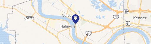
Mile 141.5 Bank Riv LaPlace, LA 70068
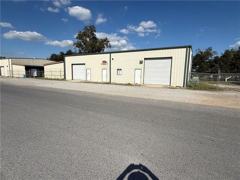
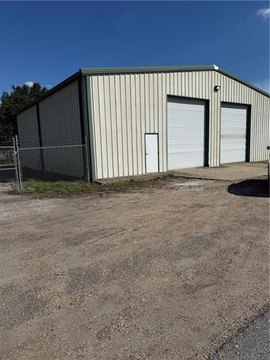
This exceptional industrial property, located in LaPlace, Louisiana (zip code 70068), presents a significant investment opportunity. Encompassing approximately 194 acres on the West Bank River Mile 141.5, this site boasts 8,450,640 square feet of manufacturing and warehouse space, priced at $1.20 per square foot. The property features direct access to the Mississippi River, offering a deep draft (50' at barge dock, 42' at low river) ideal for large-scale import/export operations. A previously engineered barge dock (plans available) complements the existing Class 1 Union Pacific rail access and on-site refined products pipeline. The site's strategic location between Baton Rouge and New Orleans provides easy access to the US Gulf Coast industrial complex and the global market via the Gulf of Mexico. Detailed wetland assessments are available, indicating minimal jurisdictional wetlands. State Highway 18 provides convenient road access. This turnkey operation offers immediate potential for significant returns. The property is being offered for sale by owner at $10,100,000.
Cap rate
Implied · in-place · derived from last sale + estimated NOIValue
AI, CAP & Alternative Use estimations · Realmo proprietary blendComparables
6 recent transactions · within 1.5 miComparable in this City


Similar Nearby for Sale


Similar Nearby for Lease


Property description
Physical attributes from public recordsZoning & alternative use
No recorded transactions found for this property.
Costs & Benchmarks
Operating expenses, capex projections, utility benchmarks, and submarket comparables — all in one view.
Risks
Flood, climate, environmental, title, and tenant-concentration risk — surfaced with mitigations and source citations.


