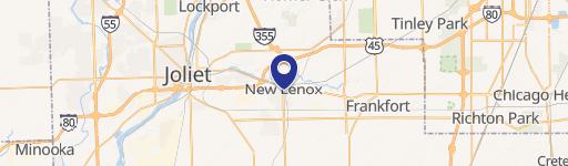
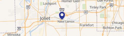
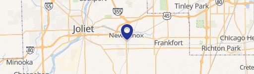
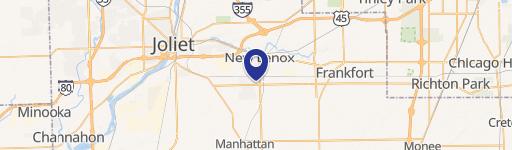
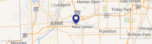
14620 Laraway Rd New Lenox, IL 60451
- Commercial real estate
- 151.00 lot acres
Current Use by Public Records
- Commercial real estate
Property Details for 14620 Laraway Rd
- Lot size
- 151.00 lot acres
- Property type
- Commercial real estate
- APN
- 15-08-28-300-003-0000 and 15-08-28-400-001-0000
Description
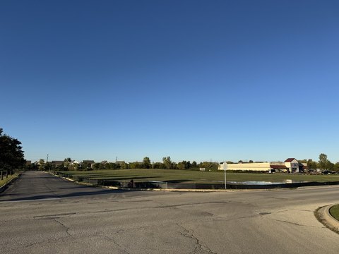
This exceptional 151-acre property in New Lenox, Illinois, presents a unique investment opportunity. Currently zoned for agriculture, the land boasts significant future development potential, as indicated by the comprehensive plan allowing for mixed-use residential development at higher densities. Located on Laraway Road, just west of Cedar Road, this expansive parcel offers excellent access to major transportation arteries, including I-80, I-55, I-355, and I-57. The property's proximity to two Metra stations (one just half a mile east on Laraway Road, and another approximately 2.6 miles north at Cedar and Route 30) provides convenient commuter access to Chicago. The area also benefits from highly-rated New Lenox grade schools and Lincoln-Way High School, and a thriving shopping district along Route 30. The property's APN is 15-08-28-300-003-0000 and 15-08-28-400-001-0000. The asking price is $9,437,500, representing a land value of $62,500 per square foot. This presents a rare chance to acquire a substantial land holding in one of the fastest-growing suburbs of Chicago, offering both immediate agricultural use and significant long-term development upside.
Value Estimations
-
AI approach
-
CAP approach
-
Comparable approach
-
Alternative Use
Get a detailed, property-specific valuation — fast and free
Location Insight
- Map
- Local Demand
- City
- New Lenox
- County
- Will
- State
- Illinois
- Longitude
- -87.978155309111
- Latitude
- 41.482908762166