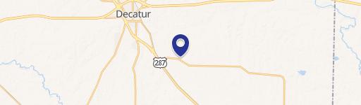
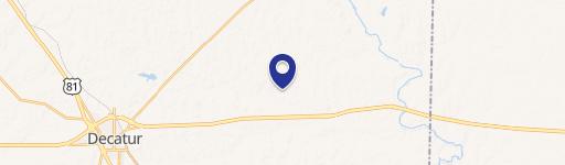
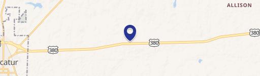
0 33.244352 -97.575755 Decatur, TX 76234
This exceptional 78-acre tract of land presents a remarkable investment opportunity in Decatur, Texas. Strategically located at the hard corner intersection of heavily trafficked US Highway 380 and FM 51, this property boasts unparalleled visibility and accessibility. Its prime location makes it ideal for a wide range of commercial developments, including retail centers, mixed-use projects, or medical facilities. The significant frontage along both highways ensures maximum exposure to a substantial daily volume of commuters and travelers. The property is currently offered for sale as a whole, but is also divisible, providing flexibility for various development scenarios. This is a rare chance to acquire a substantial land parcel in a rapidly growing area with high traffic counts and excellent visibility, making it an attractive proposition for developers seeking a high-impact location. The property is situated in Wise County, Texas, with a zip code of 76234, and its coordinates are 33.244352 latitude and -97.575755 longitude. The land is zoned for both commercial and residential use, offering diverse development possibilities. This is a unique opportunity to capitalize on the significant growth potential of this desirable location.
Cap rate
Implied · in-place · derived from last sale + estimated NOIValue
AI, CAP & Alternative Use estimations · Realmo proprietary blendComparables
6 recent transactions · within 1.5 miComparable in this City

Similar Nearby for Sale


Similar Nearby for Lease


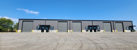
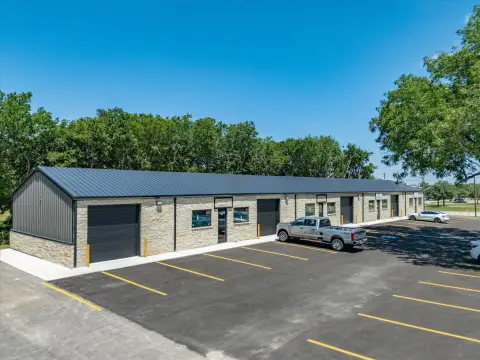
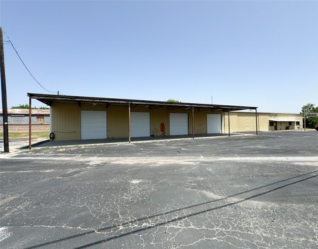
Property description
Physical attributes from public recordsZoning & alternative use
No recorded transactions found for this property.
Costs & Benchmarks
Operating expenses, capex projections, utility benchmarks, and submarket comparables — all in one view.
Risks
Flood, climate, environmental, title, and tenant-concentration risk — surfaced with mitigations and source citations.


