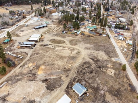
B Nhn Thor Rd Darby, MT 59829
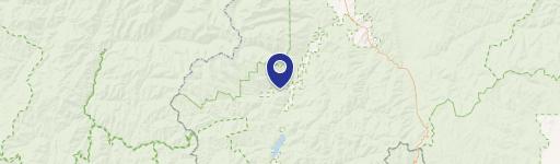
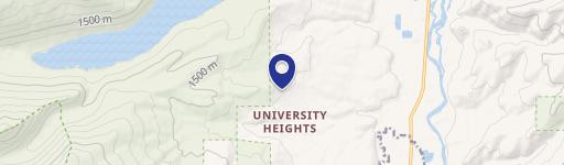
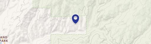
This exceptional 20-acre residential land parcel presents a unique opportunity to build your dream home in the breathtaking beauty of Montana's Ravalli County. Located near Darby, MT (zip code 59829), this property boasts unparalleled views of Trapper Peak and the Bitterroot Range. The lot offers a high degree of privacy, bordered by a large ranch to the west. Enjoy the peacefulness of this picturesque setting, surrounded by abundant wildlife, yet conveniently close to town. Outdoor enthusiasts will appreciate the property's location in Hunting District 270, with easy access to Forest Service lands, the Bitterroot River (known for blue ribbon fishing), and Lost Trail Ski Area. A significant advantage is the pre-installed septic system, simplifying the home-building process. The property is also available for purchase with an adjacent 20-acre parcel (MLS listing #30005119, sold separately). This is an ideal location for those seeking a tranquil, yet accessible, Montana lifestyle. The coordinates are 45.982099 latitude and -114.053268 longitude. The asking price for this remarkable property is $140,000.
Cap rate
Implied · in-place · derived from last sale + estimated NOIValue
AI, CAP & Alternative Use estimations · Realmo proprietary blendComparables
6 recent transactions · within 1.5 miComparable in this City


Similar Nearby for Sale


Property description
Physical attributes from public recordsZoning & alternative use
No recorded transactions found for this property.
Costs & Benchmarks
Operating expenses, capex projections, utility benchmarks, and submarket comparables — all in one view.
Risks
Flood, climate, environmental, title, and tenant-concentration risk — surfaced with mitigations and source citations.


