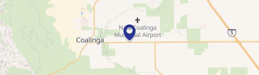
0 El Dorado Ave Coalinga, CA 93210
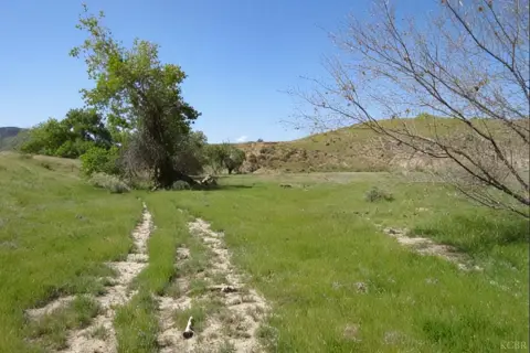
This exceptional 476.38-acre agricultural property in Fresno County, California, presents a lucrative investment opportunity. Located near the intersection of South El Dorado Avenue and West Cole Avenue in the Huron area (zip code 93210), this land boasts 454.94 acres planted with high-yielding almonds and pistachios. The orchard benefits from its location within the Westlands Water District, ensuring a reliable water supply. Irrigation is facilitated by a sophisticated system including two filtration stations and one deep well, delivering water via a dual-line drip system. The soil quality is predominantly Grade 1, contributing to the orchard's exceptional productivity. The property is zoned ARE-20 (Agricultural, Rural, Exclusive, 20-acre minimum), reflecting its suitability for large-scale agricultural operations. The Assessor's Parcel Number (APN) is 065-040-02s. This turnkey operation offers significant potential for continued growth and profitability in the thriving California nut market. The asking price is $11,495,000.
Cap rate
Implied · in-place · derived from last sale + estimated NOIValue
AI, CAP & Alternative Use estimations · Realmo proprietary blendComparables
6 recent transactions · within 1.5 miComparable in this City

Similar Nearby for Sale


Similar Nearby for Lease


Property description
Physical attributes from public recordsZoning & alternative use
No recorded transactions found for this property.
Costs & Benchmarks
Operating expenses, capex projections, utility benchmarks, and submarket comparables — all in one view.
Risks
Flood, climate, environmental, title, and tenant-concentration risk — surfaced with mitigations and source citations.


