Current Use by Public Records
- Land
Property Details for 25608 Ar-10
- Lot size
- 7.65 lot acres
- Property type
- Land
Description
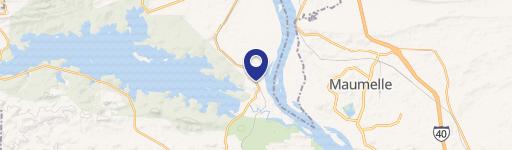
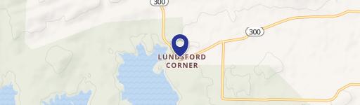
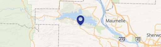
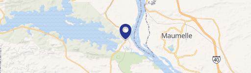
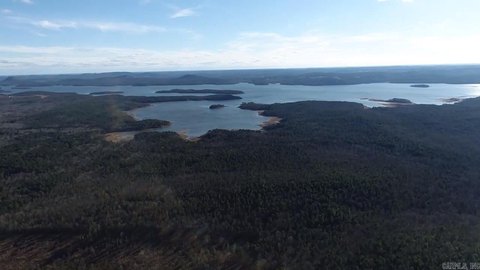
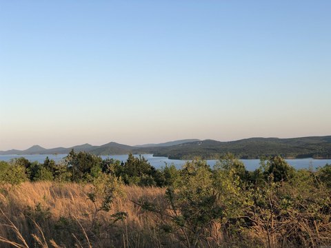
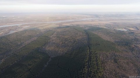
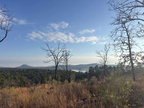
This exceptional 7.65-acre parcel, located at 25608 Highway 10 in Roland, Arkansas (zip code 72135), presents a unique opportunity for developers. Situated in Pulaski County, this property boasts a strategic location west of Little Rock, enjoying high visibility and accessibility. The land is currently zoned R-2, offering flexibility for a variety of development projects, including residential and commercial ventures. Its substantial size allows for significant buildable area, catering to large-scale projects. The property's location on Highway 10 provides excellent exposure to an average daily traffic count of approximately 4,400 vehicles, ensuring high visibility for any development. This presents a compelling investment opportunity for those seeking to capitalize on the growing demand for land in this desirable area of Arkansas. The property's versatility and prime location make it an ideal choice for developers seeking to create a thriving residential community or a successful commercial enterprise. Serious inquiries are encouraged to explore the full potential of this remarkable land offering.
Value Estimations
-
AI approach
-
CAP approach
-
Comparable approach
-
Alternative Use
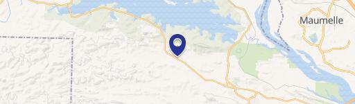
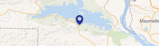
Location Insight
- Map
- Local Demand
- City
- Roland
- County
- Pulaski
- State
- Arkansas
- Longitude
- -92.5471
- Latitude
- 34.8351