46555 Az-89 Ash Fork, AZ 86320
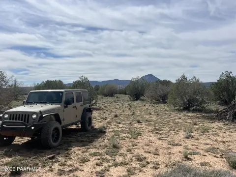
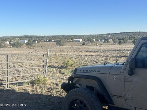
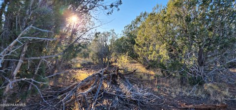
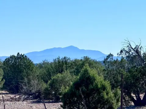
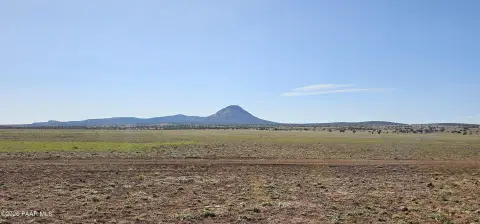
This exceptional 49.3-acre parcel presents a unique investment opportunity at the strategic intersection of State Route 89 and Interstate 40 in Ash Fork, Arizona (Yavapai County, zip code 86320). Located at 46555 AZ-89, this property boasts dual zoning (C2-2 & R1-175), allowing for diverse development options. The land is priced at $975,000, or $19,777 per acre, reflecting its prime location and potential. A significant advantage is the presence of a high-yield private well, a crucial asset for any large-scale development. Given its proximity to major transportation arteries, this site is ideally suited for a variety of uses, including but not limited to an RV resort, truck stop, or a planned community incorporating commercial and residential components. The high traffic volume on I-40 and SR 89, projected to reach nearly 30,000 vehicles per day by 2040 according to ADOT, ensures a substantial customer base for any commercial venture. The property's APN is 302-07-017F. This is a rare opportunity to acquire a large, strategically located parcel with significant development potential in a rapidly growing area. The property's versatility, coupled with its excellent water source and high-traffic location, makes it an attractive investment for both short-term and long-term growth.
Cap rate
Implied · in-place · derived from last sale + estimated NOIValue
AI, CAP & Alternative Use estimations · Realmo proprietary blendComparables
6 recent transactions · within 1.5 miComparable in this City


Similar Nearby for Sale

Property description
Physical attributes from public recordsZoning & alternative use
No recorded transactions found for this property.
Costs & Benchmarks
Operating expenses, capex projections, utility benchmarks, and submarket comparables — all in one view.
Risks
Flood, climate, environmental, title, and tenant-concentration risk — surfaced with mitigations and source citations.


