
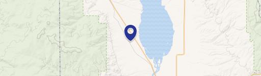
4161a1 Nhn Usfs Trl, Canton, MT 59644
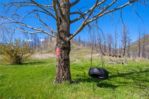
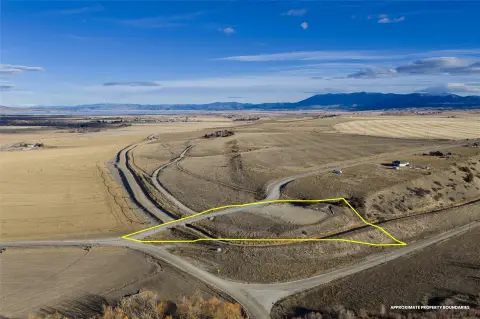
This exceptional 3.44-acre commercial parcel in Broadwater County, Montana, presents a unique investment opportunity. Located near Townsend, MT, zip code 59644, at 46.3839014 latitude and -111.4820601 longitude, this property boasts a prime location bordering United States Forest Service land. The land is situated just north of the Confederate Gulch road, providing convenient access between Broadwater and Meagher Counties. Historically used as a mining claim, this treed property offers breathtaking views of the majestic Big Belt Mountains. Its proximity to abundant wildlife makes it highly attractive for hunting enthusiasts. The asking price for this remarkable parcel is $40,000. This is a rare chance to own a piece of Montana's stunning landscape with significant recreational and potential development possibilities. The address is listed as NHN USFS Trail 4161a1. Serious inquiries are encouraged.
Cap rate
Implied · in-place · derived from last sale + estimated NOIValue
AI, CAP & Alternative Use estimations · Realmo proprietary blendComparables
6 recent transactions · within 1.5 miComparable in this City


Similar Nearby for Sale


Property description
Physical attributes from public recordsZoning & alternative use
No recorded transactions found for this property.
Costs & Benchmarks
Operating expenses, capex projections, utility benchmarks, and submarket comparables — all in one view.
Risks
Flood, climate, environmental, title, and tenant-concentration risk — surfaced with mitigations and source citations.


