Property summary
The property consists of two parcels totaling approximately 108 acres in the Village of Pawling, New York, with approximately 56 acres cleared and the remainder in wooded areas supported by maintained trails. The land includes productive open fields with fertile soil and gentle topography that supports multiple potential building sites offering privacy, solitude, and possible long-range views. It has approximately 78 acres on the first parcel and approximately 30 acres on the second, with shared frontage of more than 2,000 feet along Quaker Hill Road and more than 1,500 feet along Route 22. The site is described as having no easements and no floodplain, with less than 9 acres of wetlands, and a reported high point of about 650 feet. Municipal utilities are available in the area, with Village water extending to an adjacent property and Village sewer described as approximately 600 feet from the parcel boundary line. Development may be feasible under local zoning allowing R1 permitted uses, and the property is configured to support uses such as a country estate, family compound, or equestrian facility, including space for barns, riding rings, and paddocks, as well as potential agricultural activities (gardening, crops, livestock) and outdoor recreation. The parcels are located minutes from the Village of Pawling, which includes access to local amenities and a Metro-North station providing service to New York City.
Property profile
VerifiedCap rate & NOI
Location
Value estimations
Owner & transaction history
Comparables
6 recent transactions · within 1.5 miComparable in this City


Similar Nearby for Sale


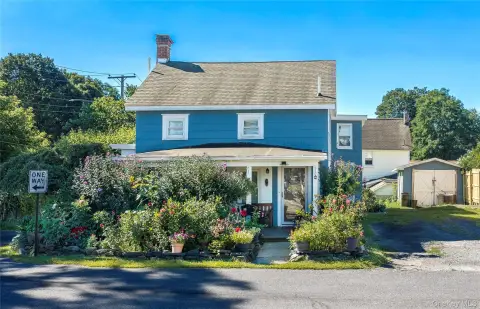

Similar Nearby for Lease
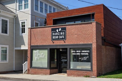


Value estimation
Instant AI valuation built from comps, income signals, and proprietary benchmarks. A defensible range, not a single guess.
from $99/month
Cap rate
Cap rate calculated from real income and expense signals, benchmarked against sales of similar assets nearby.
from $99/month
Property description
Physical attributes from public recordsZoning & alternative use
Zoning
The recorded zoning designation, what the district officially allows, and the municipal source it comes from.
No zoning code is on file for this parcel. Zoning coverage grows with every catalog release — check back, or open Location Intelligence for use analysis of this corner.
Find the owner behind the property.
Unlock the evidence behind ownership: portfolio, transactions, debt and signals that help you decide who to contact next.
Registration is required before any owner information is shown.
- Full Property Data
- Historical Records
- Value Estimation
- NOI Potential
- Cap Rate Calculation
- Ownership
- Location Insight
- Alternative use
- Local Zoning Insight
Cancel anytime.
- 30 reports a month
- Location Analytics
- Market Trends
- Full Property Data
- Historical Records
- Value Estimation
- NOI Potential
- Cap Rate Calculation
- Ownership
- Location Insight
- Alternative use
- Local Zoning Insight
Cancel anytime.
- 300 reports a month
- Location Analytics
- Market Trends
- Full Property Data
- Historical Records
- Value Estimation
- NOI Potential
- Cap Rate Calculation
- Ownership
- Location Insight
- Alternative use
- Local Zoning Insight
and get 1 Light Report
- Property Information
- Historical Records
- Value Estimation
- NOI Potential
- Cap Rate Potential
- Location Insight
- Alternative use
- Local Zoning Insight


