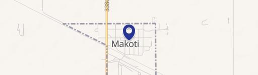
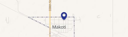
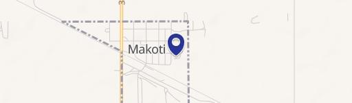
338th Sw & Hwy Makoti, ND 58756
This exceptional 18-acre property presents a unique investment opportunity in Ward County, North Dakota. Strategically located approximately one mile north of Makoti along Highway 23, this land boasts high visibility due to its position directly across from the Plaza-Makoti Cenex C-Store. The property's address is 338th St SW & Hwy 23, in Rural Makoti, zip code 58756, with coordinates 47.963428 latitude and -101.8715501 longitude. The asking price is $700,000. This versatile land is zoned Rural (Residential or Ag), offering flexibility for a variety of development projects. Its proximity to Makoti (approximately 22 minutes west of Highway 83 and 40 minutes southwest of Minot) provides convenient access to essential amenities and transportation routes. The property's Assessed Parcel Number (APN) is OR150990000020. This significant acreage presents a compelling opportunity for investors seeking land with commercial and agricultural potential in a rapidly growing area. The combination of highway frontage, convenient location, and flexible zoning makes this property ideal for various development scenarios. Serious inquiries are encouraged.
Cap rate
Implied · in-place · derived from last sale + estimated NOIValue
AI, CAP & Alternative Use estimations · Realmo proprietary blendComparables
6 recent transactions · within 1.5 miComparable in this City


Property description
Physical attributes from public recordsZoning & alternative use
No recorded transactions found for this property.
Costs & Benchmarks
Operating expenses, capex projections, utility benchmarks, and submarket comparables — all in one view.
Risks
Flood, climate, environmental, title, and tenant-concentration risk — surfaced with mitigations and source citations.


