Commercial Real Estate Market in Winslow, ME
Updated monthly: sale, lease, property records, location trend, and more… · Last update: August 31
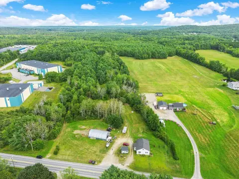
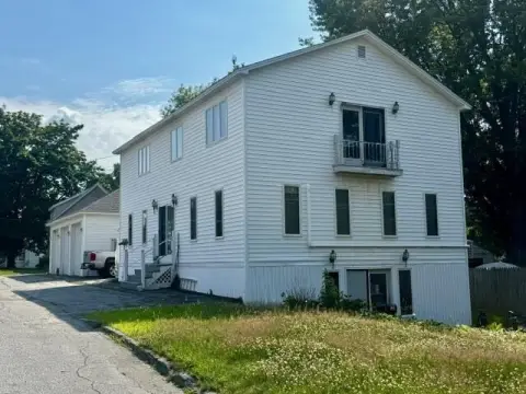
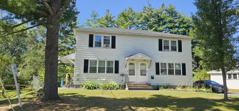
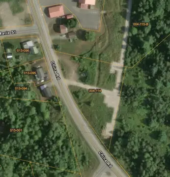
24 active listings and 182 off-market properties in Winslow, ME.
Market Trends
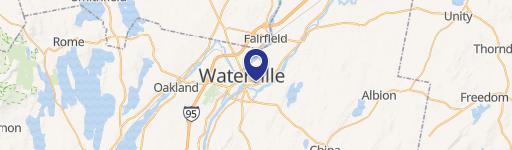
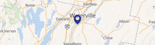
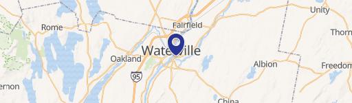
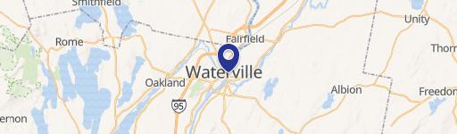
Winslow, ME spans 78.8 square miles in Kennebec County, Maine. Figures below refresh monthly; last updated 31 August 2026.
Office
Office space in Winslow, ME asks $95/SF to buy. Vacancy runs 19.9% across the Northeast region in 2025, up from 13.1% in 2019.
Average Sale Price $/SF
Listings
Vacancy Rate % in Northeast region
Retail
Retail space in Winslow, ME asks $127/SF to buy. Vacancy runs 6% across the Northeast region in 2025, little changed from 6% in 2019. Down from a 2020 peak of 7.1%.
Average Sale Price $/SF
Listings
Vacancy Rate % in Northeast region
Industrial
Industrial vacancy in Winslow, ME runs 7.6% across the Northeast region in 2025, up from 5.4% in 2019. Nearly 2.4x the 2021 low of 3.2%.
Vacancy Rate % in Northeast region
Multifamily
Multifamily space in Winslow, ME asks $118/SF to buy. Vacancy runs 5.6% across the Northeast region in 2025, up from 4% in 2022.
Average Sale Price $/SF
Listings
Vacancy Rate % in Northeast region
Zoning & Land Use
Land Use Mix share of zoned land by category
- Commercial 47.2%
- Industrial 30.7%
- Mixed use 11.5%
- Residential 9.7%
- Civic 0.9%
Largest Zones share of zoned land by district
Rural District
Conservation District
Mixed Use District
Low Density Residential District
Medium Density Residential District
Winslow, ME zones 23,967 acres across 8 districts. Commercial zoning covers 47.2% of zoned land, residential 9.7% and industrial 30.7%. The largest single district is Rural District at 47.2%. For commercial buyers the practical constraint is that only 77.9% of land carries a commercial or industrial designation.
Conservation District (CD)
To be a rural area with limited commercial or industrial activity or other uses which would tend to adversely affect water quality
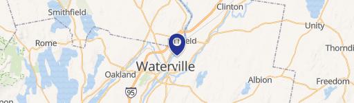
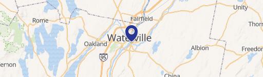

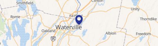
Market overview
Demographics & Economy
Winslow, ME has 26,491 residents in 12,084 households. Density runs 336 people per square mile. Median household income here is $54,122 and median gross rent $957 a month.
26,491
Population
12,084
Households
2.2
Avg Household Size
41
Median Age
30%
College-Educated
93%
High-School Grad
78.8 sq mi
ZIP Area
336
Density / Sq Mi
$54,122
Median Household Income
$33,623
Median Earnings
$957
Median Rent
$188,800
Median Home Value
Tools
Nearby Markets
| Market | Average Sale Price, $/SF | Average Lease Price, $/SF/Yr |
|---|---|---|
| Waterville | — | — |
| Fairfield | — | — |
| Benton | — | — |
| Vassalboro | — | — |
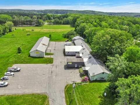
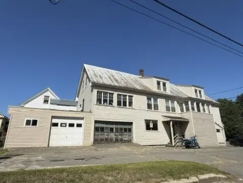
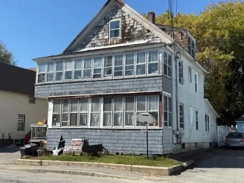
Commercial property in Winslow, ME asks $17/SF.
Frequently Asked Questions
What is the average price per square foot for commercial property in Winslow?
Commercial property in Winslow, ME asks an average of $17 per square foot. Retail carries the highest asking price at $127/SF.
What zoning applies to commercial property in Winslow?
Winslow, ME zones 23,967 acres across 8 districts, of which 47.2% is commercial and 30.7% industrial. The largest single district is Rural District at 47.2% of zoned land. Residential zoning covers 9.7% and open space 0%.
Where does Realmo's Winslow market data come from?
Realmo compiles Winslow, ME figures from 3 recent recorded sales, 24 active sale listings, 182 tracked off-market properties, the current Winslow zoning release. Sale and lease figures refresh monthly; vacancy annually. Last updated 31 August 2026.
Methodology & data sources
- Asking prices and averages
- Computed from 24 active for-sale and 0 active for-lease listings in Winslow, ME. These are ASKING figures from live listings, not closed-transaction prices, and a segment carried by a handful of listings reads as indicative rather than an average.
- Vacancy rates
- Published per-sector market series, taken at the metro level where one exists and otherwise at the Census-region level — a chart reading "in <region> region" is a regional number, not this city's.
- Zoning and land use
- The current municipal zoning release: 23,967 zoned acres across 8 districts. Shares are of zoned land, so parcels the release leaves unclassified are excluded from the mix.
- Refresh
- The monthly aggregates close at the end of the previous month, so 31 August 2026 — not today — is the honest last update.
- Known limitations
- office vacancy is reported at Northeast region level, retail vacancy is reported at Northeast region level and industrial vacancy is reported at Northeast region level.
- Coverage
- Metrics below the 10-observation threshold fall back one geographic level. The geography used is named on each figure.
Compiled by the Realmo Data team · reviewed 31 August 2026 · report a data issue
