14-8.0-28-000-0 COUNTY ROAD 6750, West Plains, MO 65775

- Added:
- Apr 28, 2026
- Days on Market:
- 61
- Last Refresh:
- Jun 27 at 9:06 am
Property Features for 14-8.0-28-000-0 COUNTY ROAD 6750
General Information
- Property type
- Land
- Property subtype
- Other
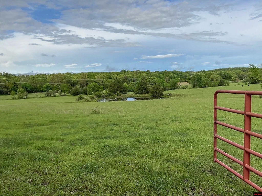
- Fencing
- Fenced, Perimeter
- Standard status
- Active
- APN
- 14-8.0-28-000-000-005.010
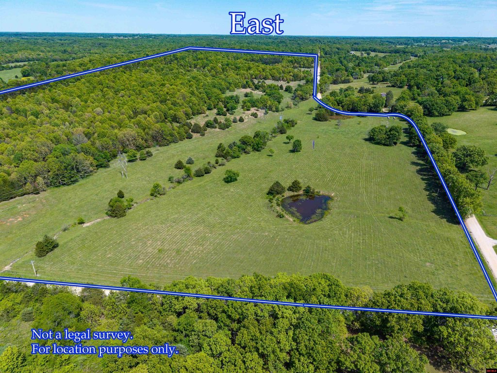
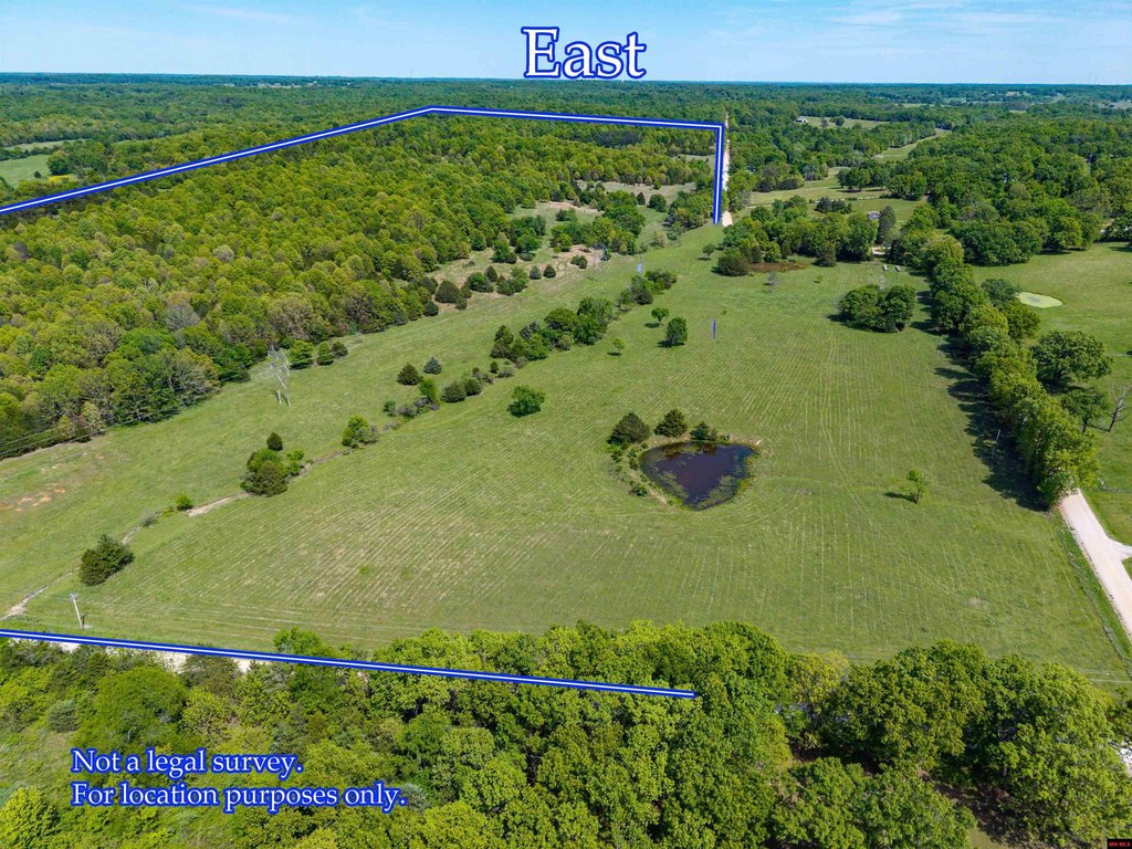
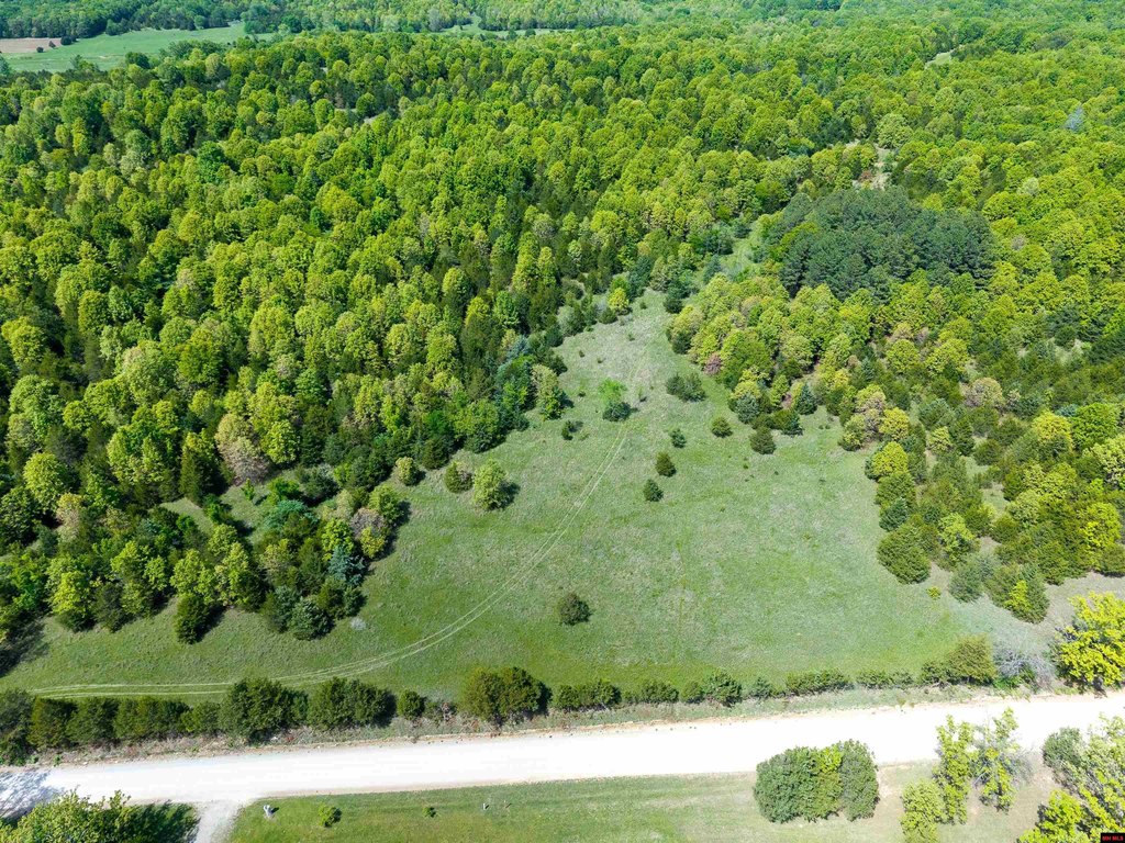
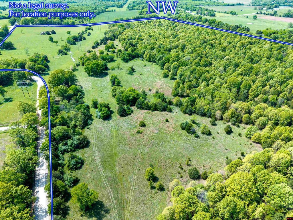
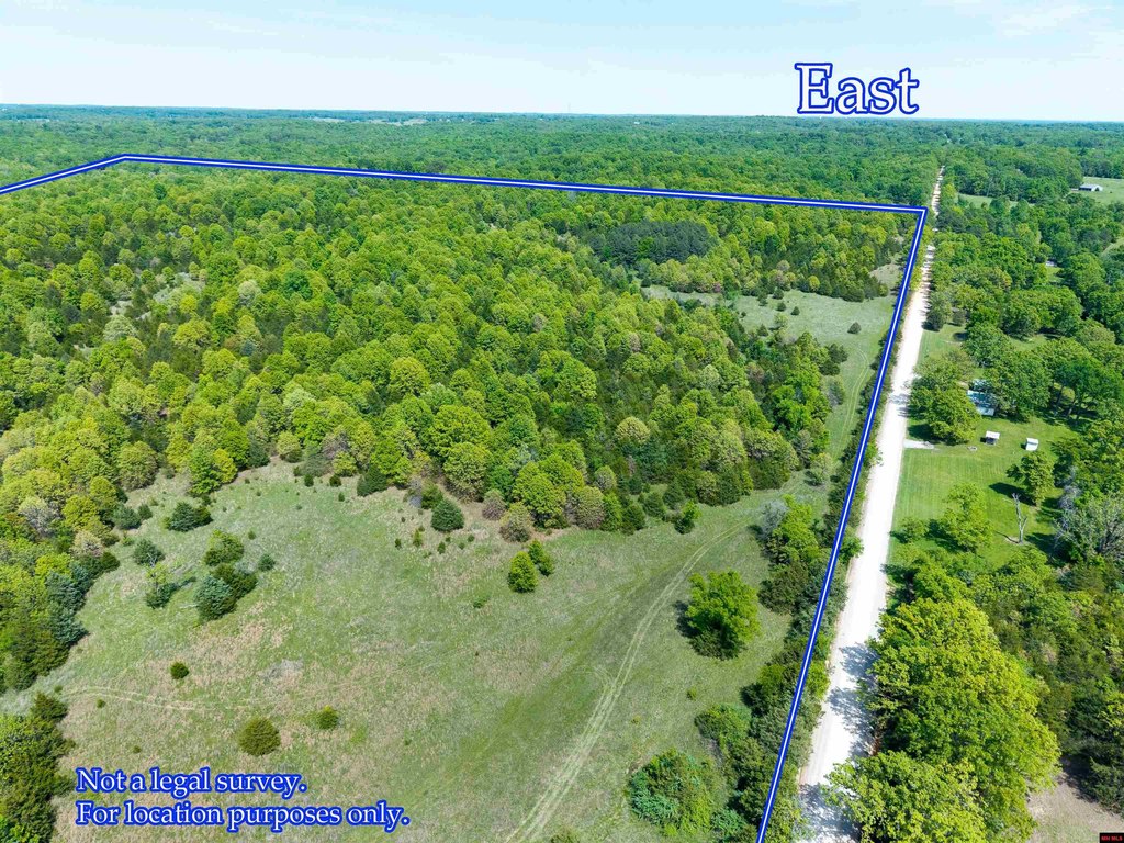
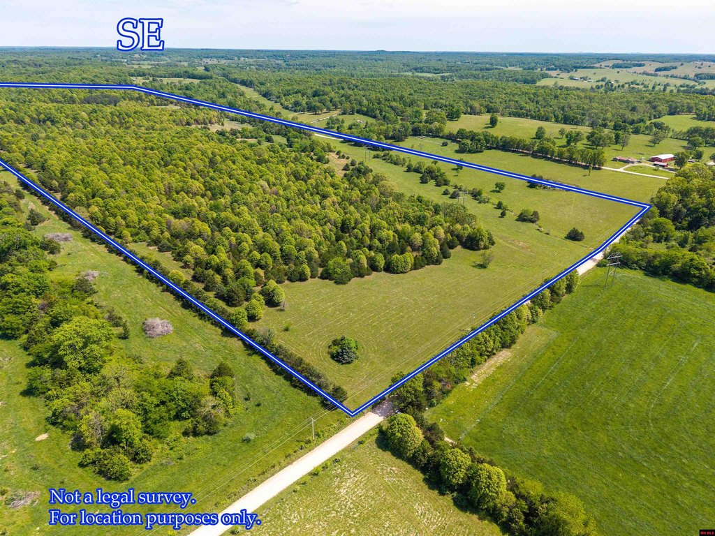
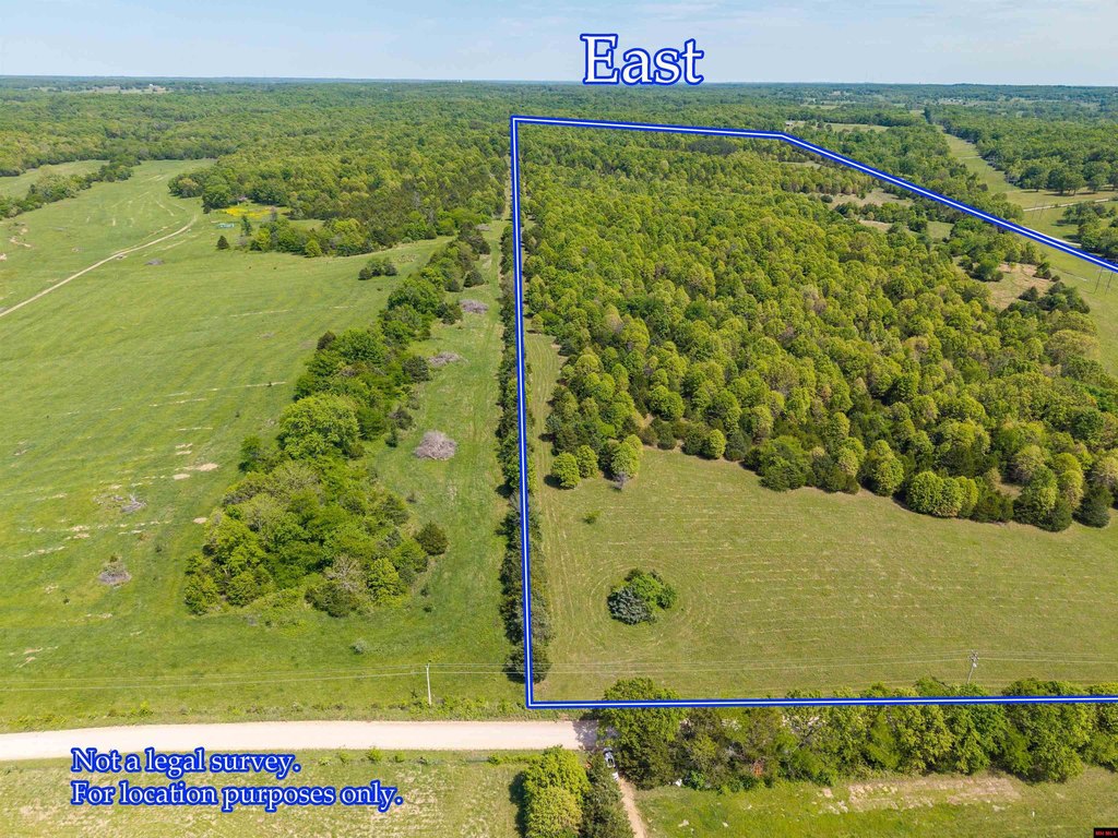
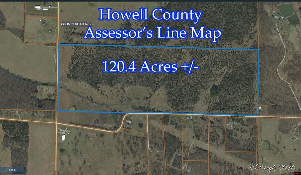
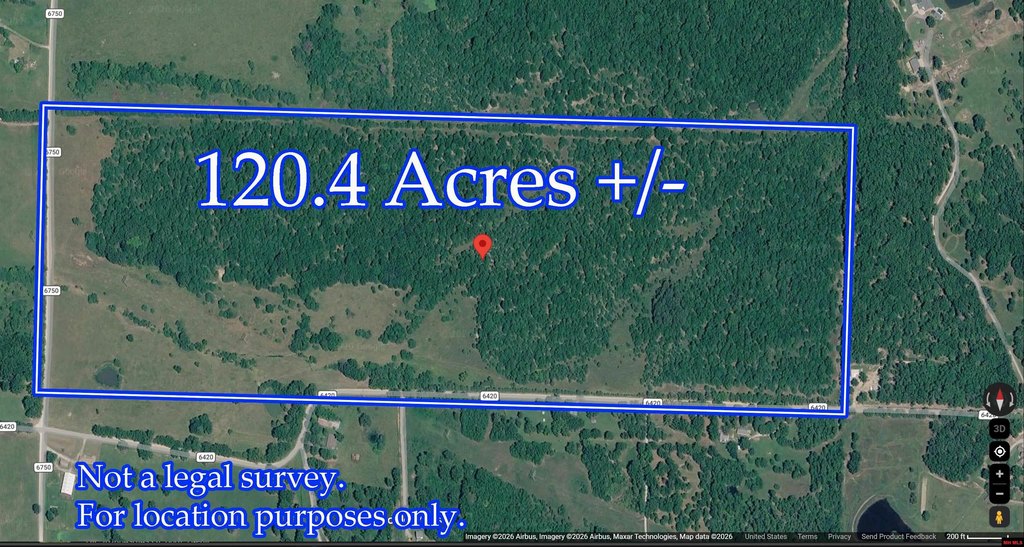
- Lot size
- 120.40 Acres
Taxes and HOA fees
- Tax Year
- 2025
- Tax Description
- S1/2 SW1/4; SWSE 1/4 ALL EXC RDS
- Tax Annual Amount
- 91
Utilities
- Water source
- Spring

Listing agent Laurie Nissen License #1999023128 (870) 424-7888
Listing office OZARK KOUNTRY REALTY 3489 N US Hwy 63, MOUNTAIN HOME, MO (417) 256-5729
Listing date Apr 28, 2026
Copyright © 2026 North Central Board of Realtors. All rights reserved. All information provided by the listing agent/broker is deemed reliable but is not guaranteed and should be independently verified.
HighLights
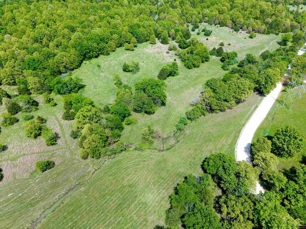
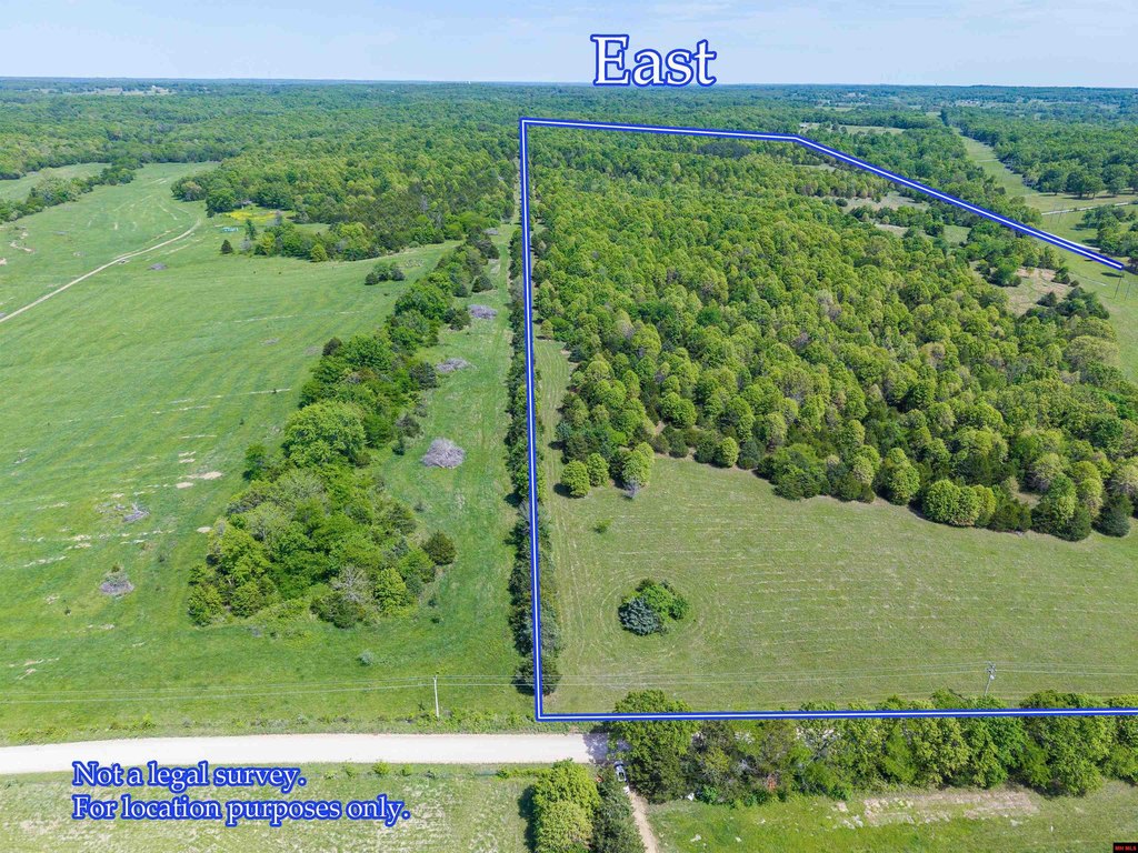
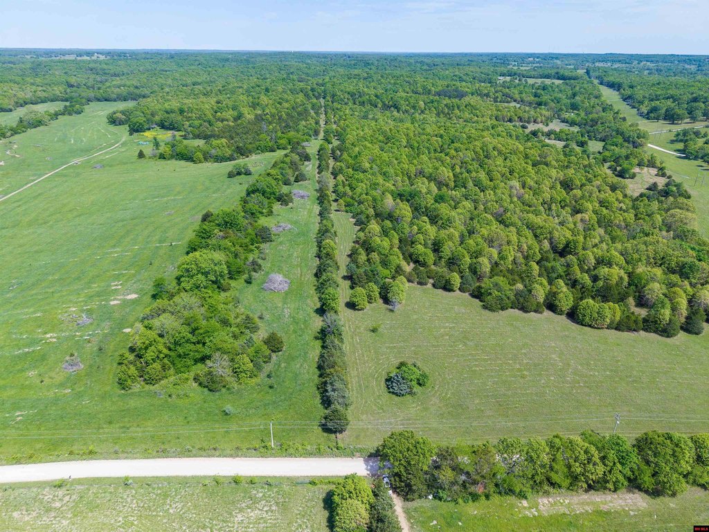
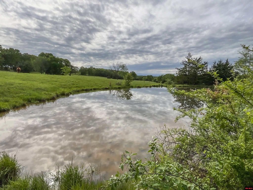
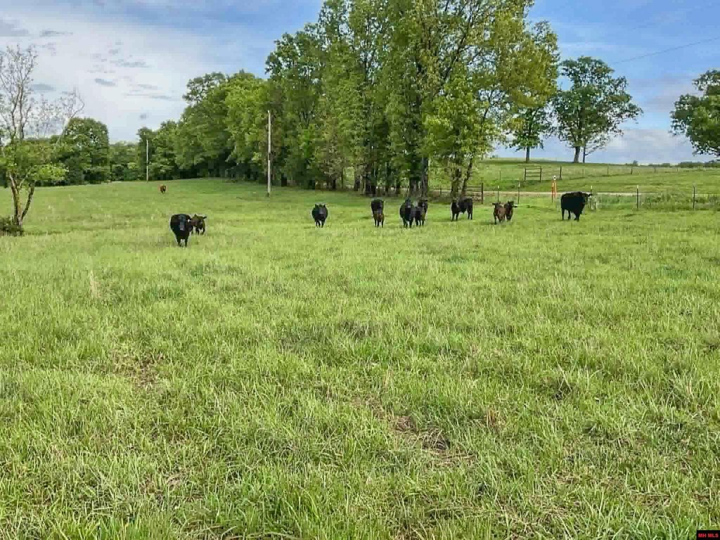
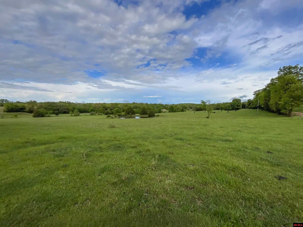
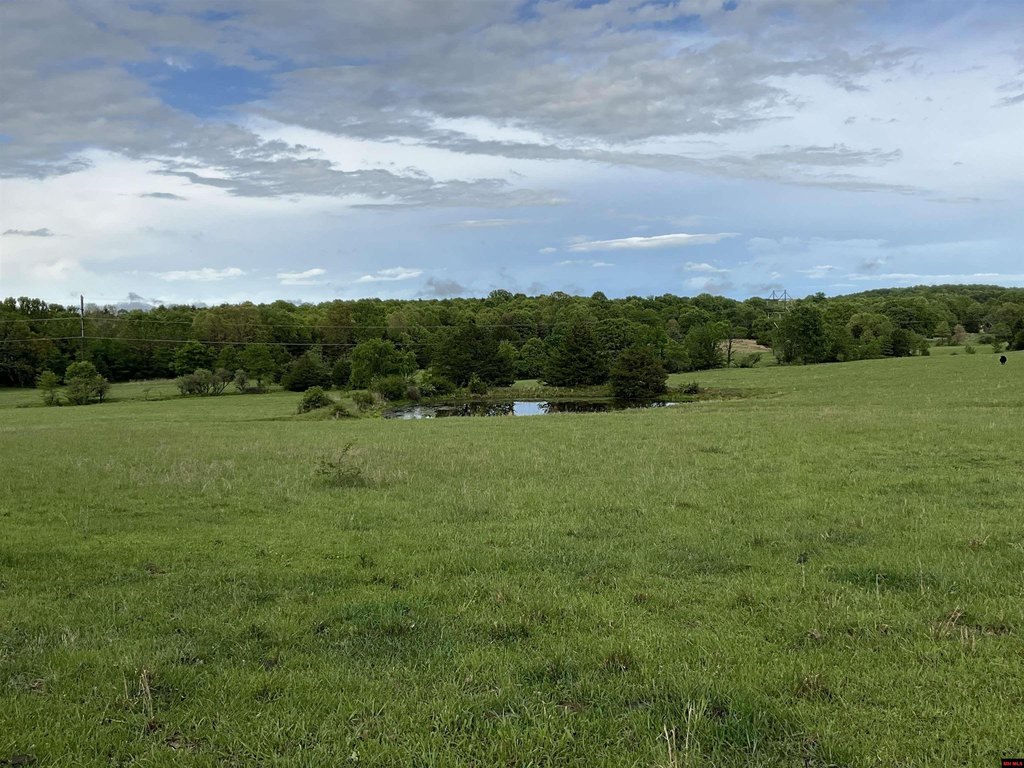
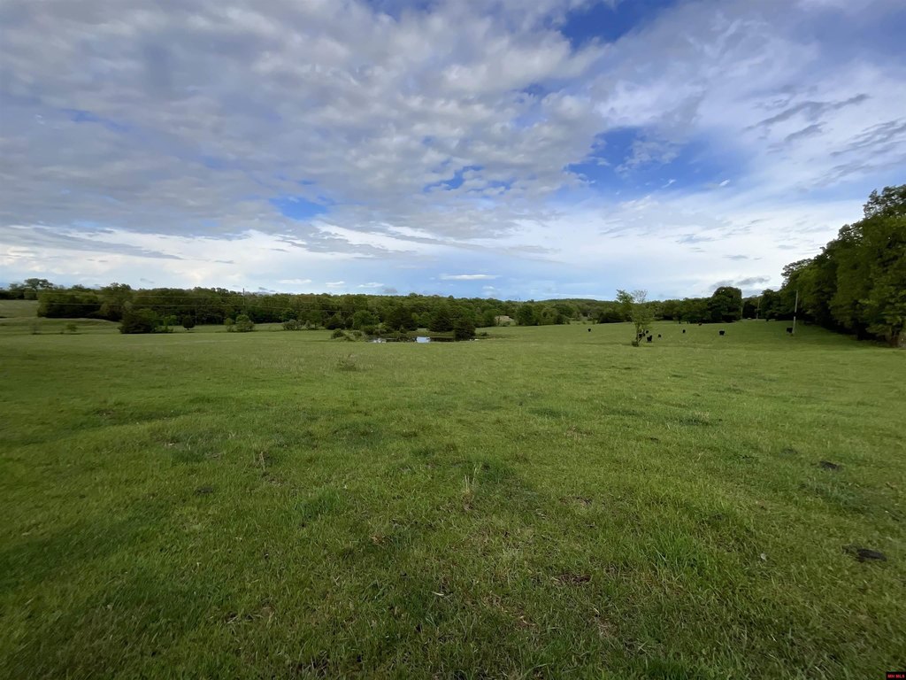
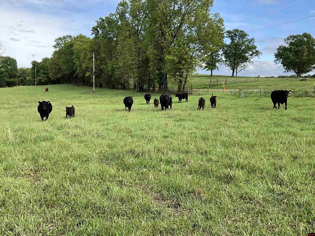
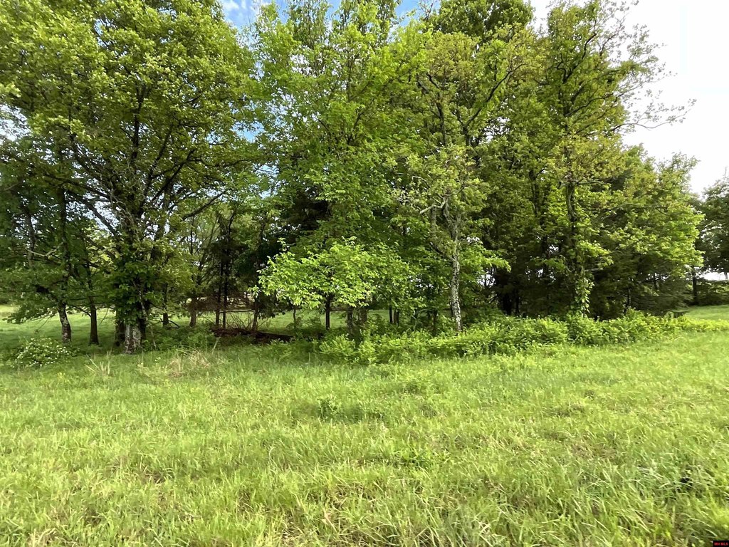
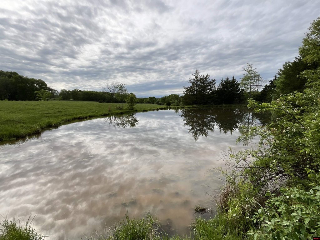
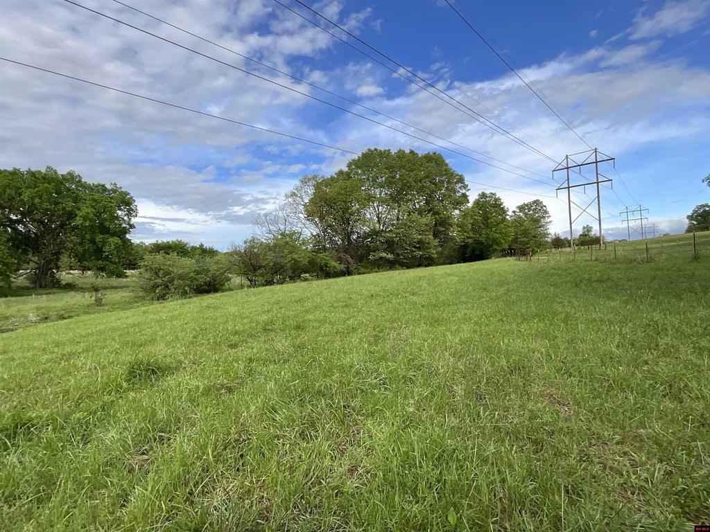
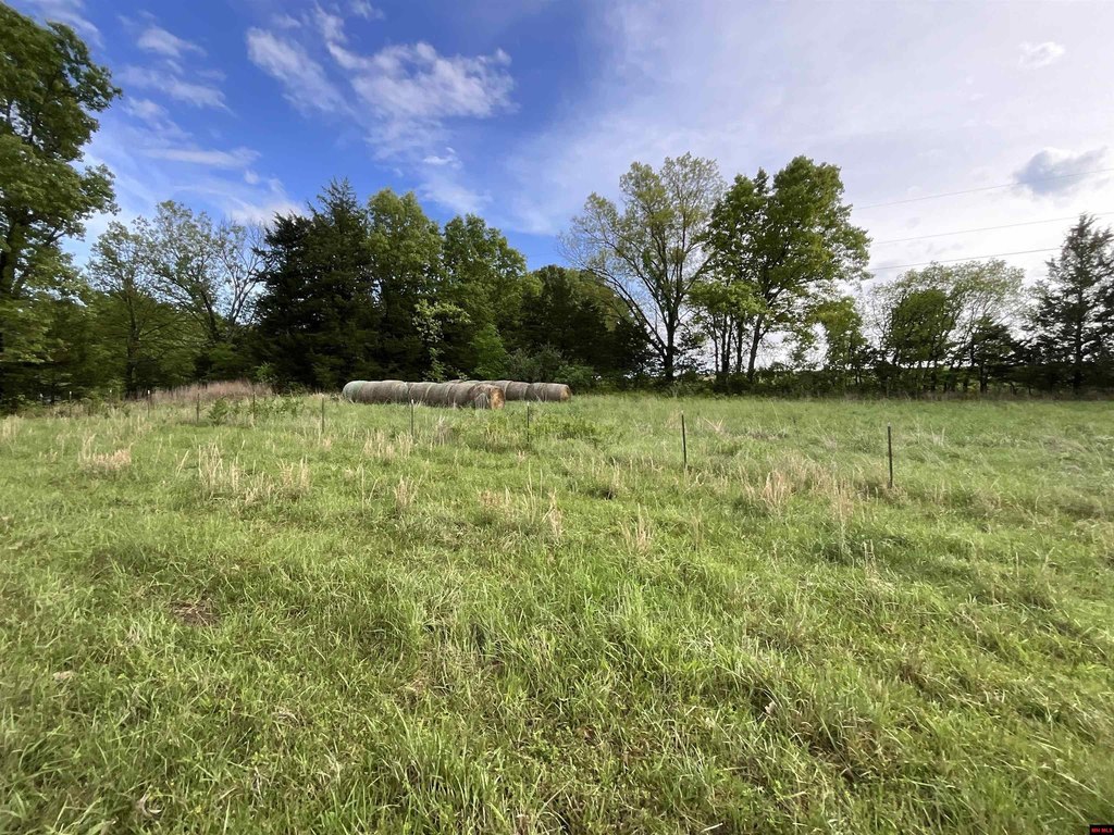
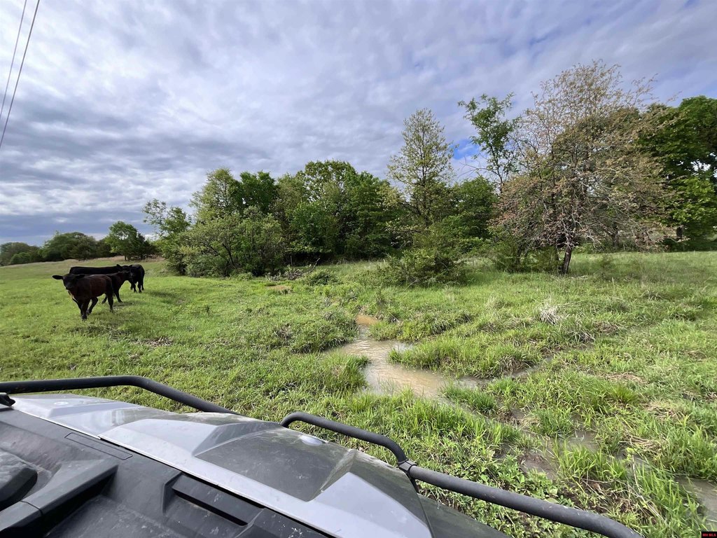
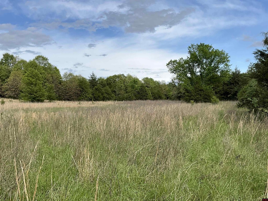
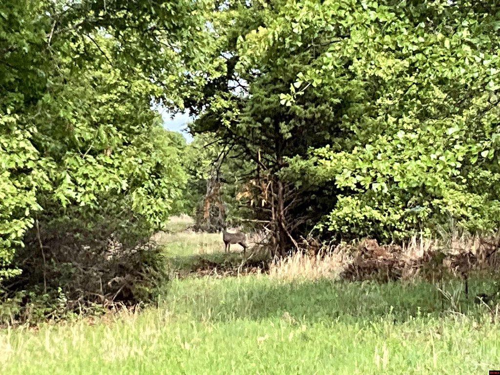
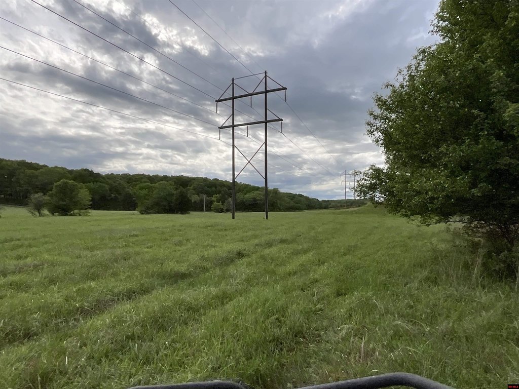
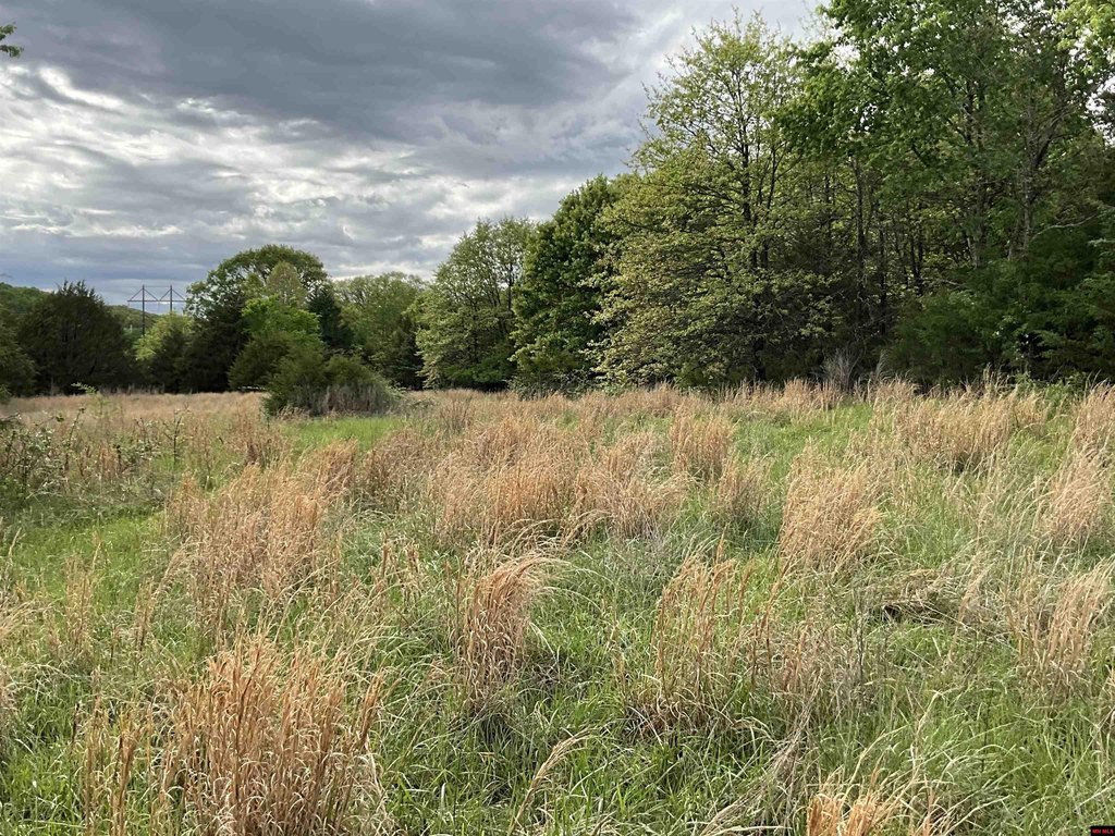
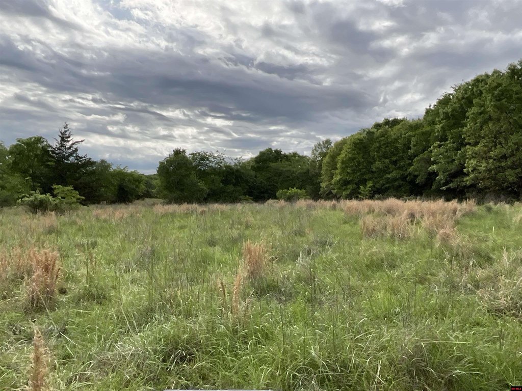
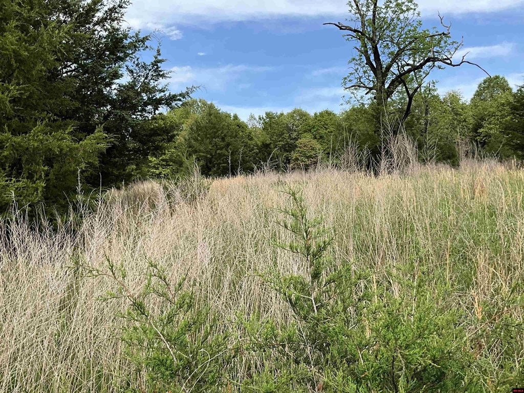
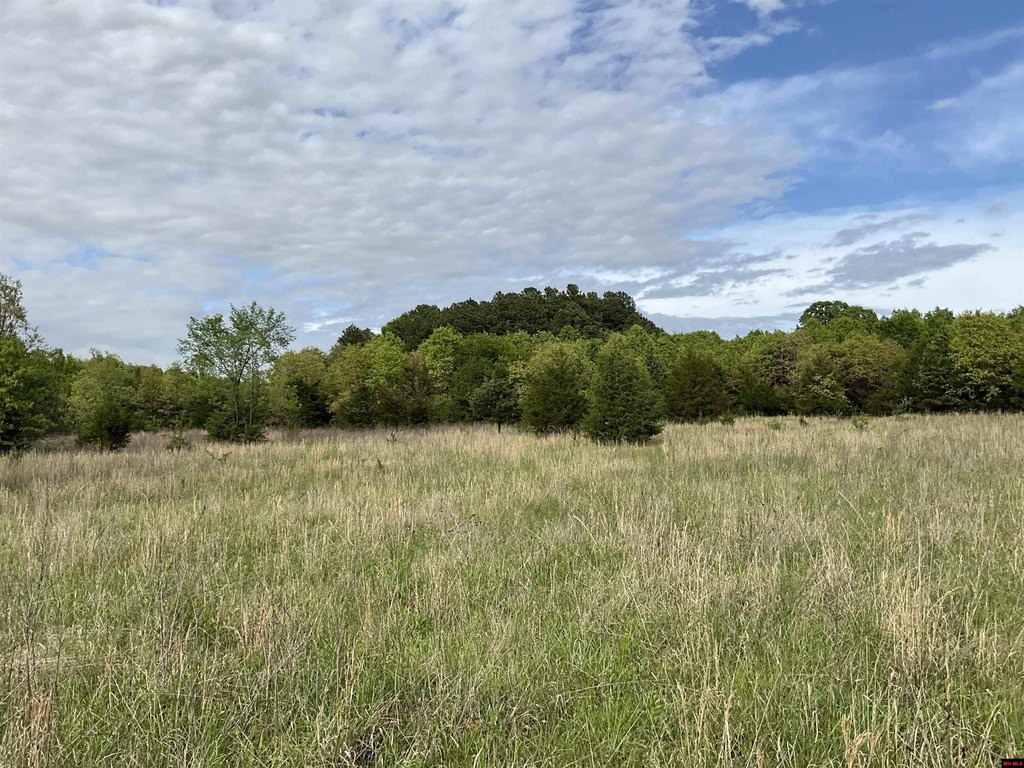
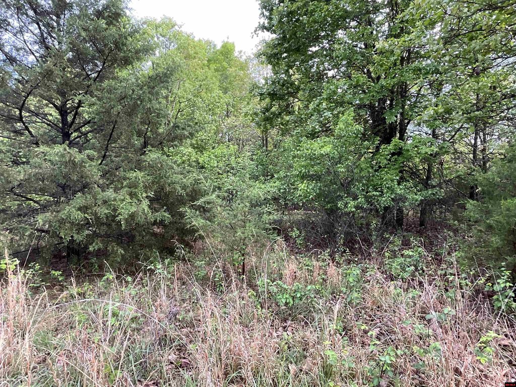
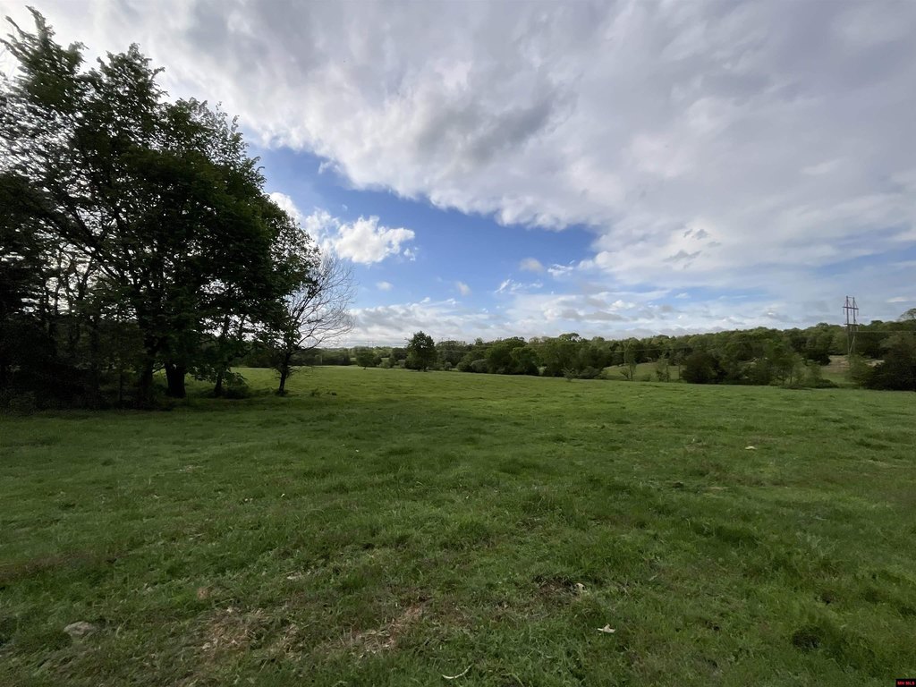
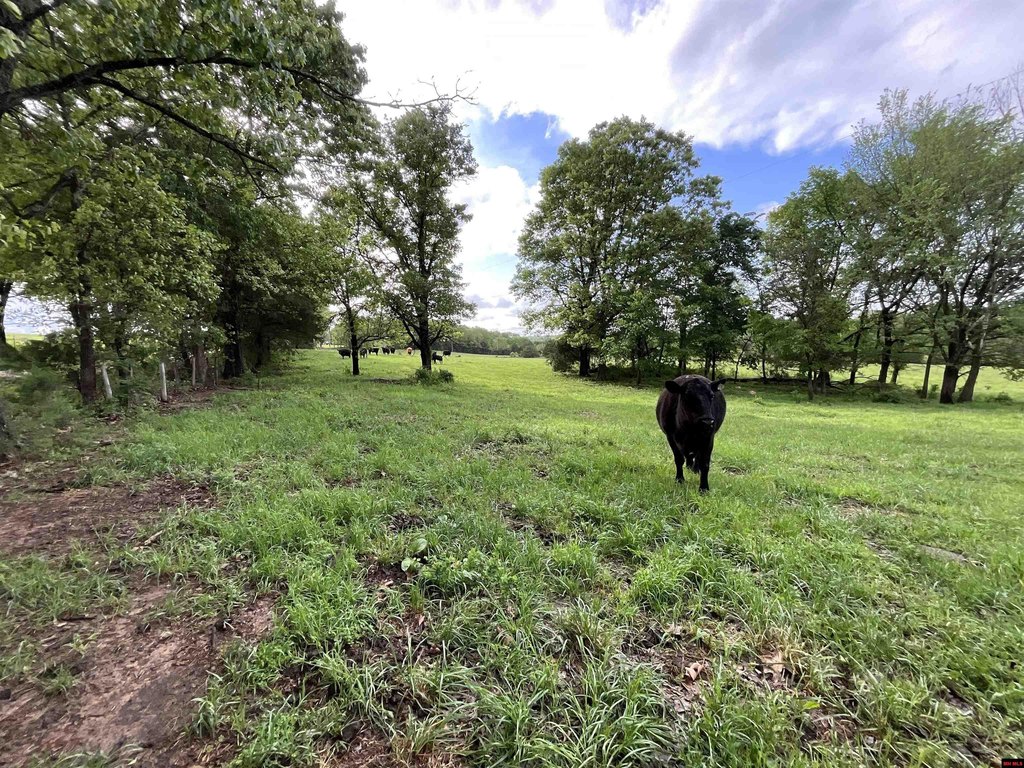
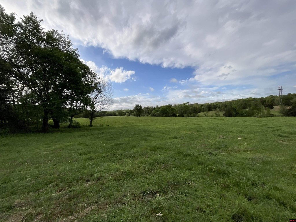
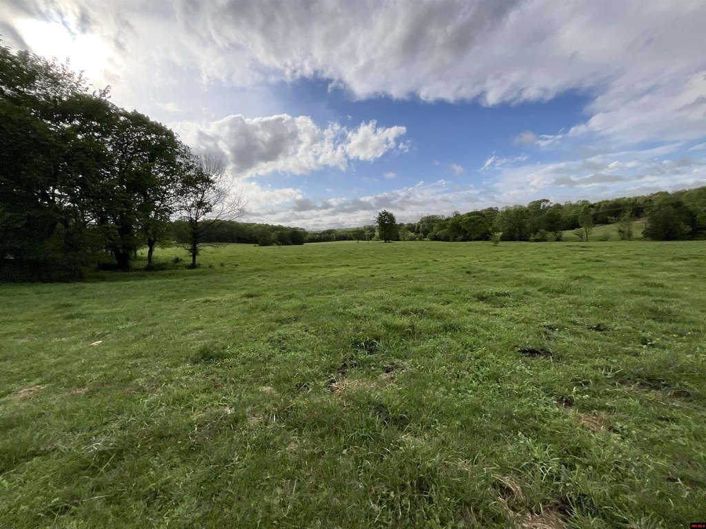
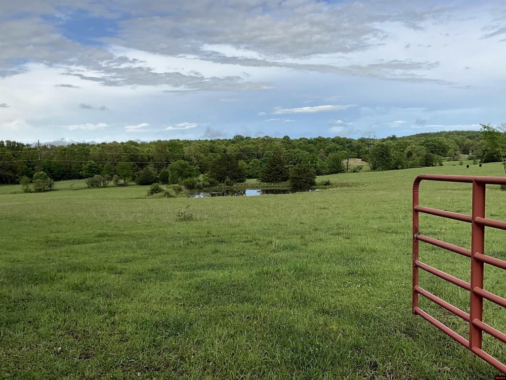
- 120 acres m/l of undeveloped land with cattle currently on the property
- Perimeter fencing with barbed wire surrounds the land
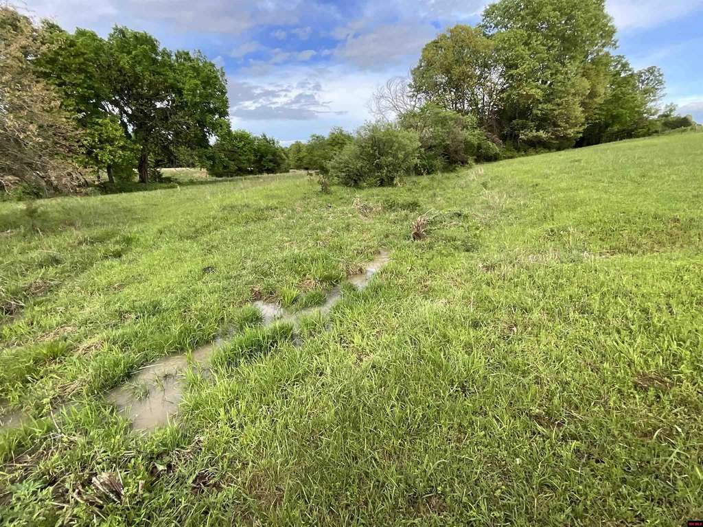
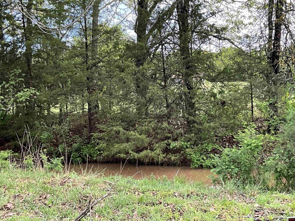
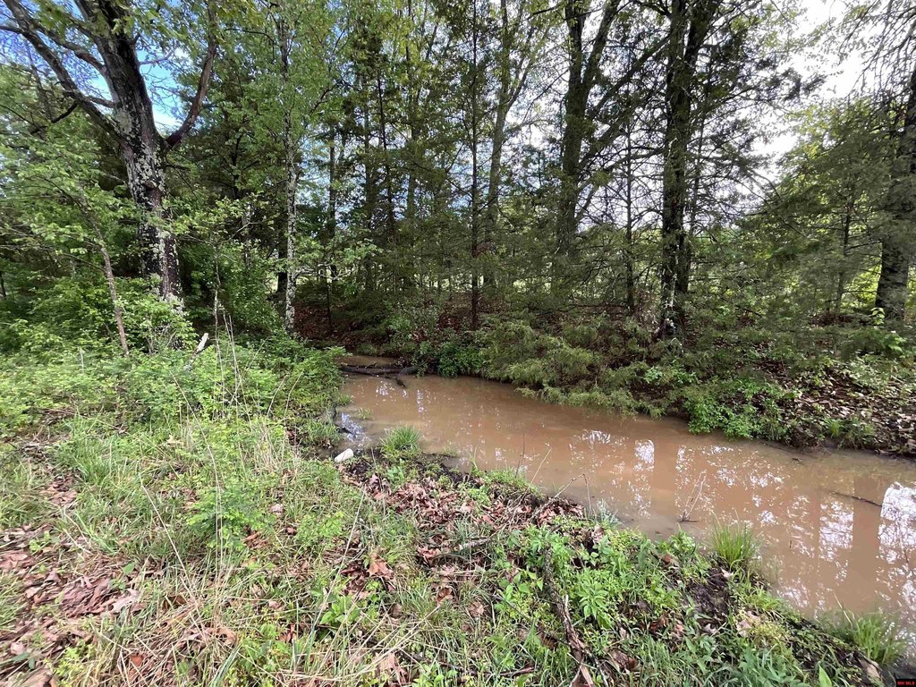
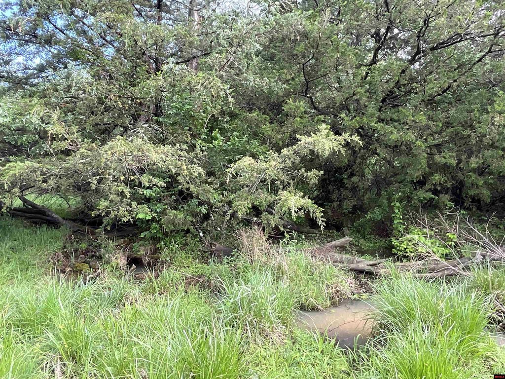
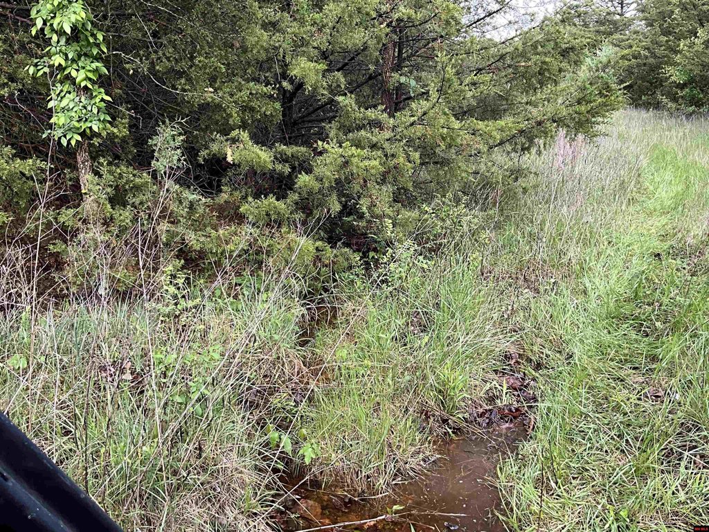
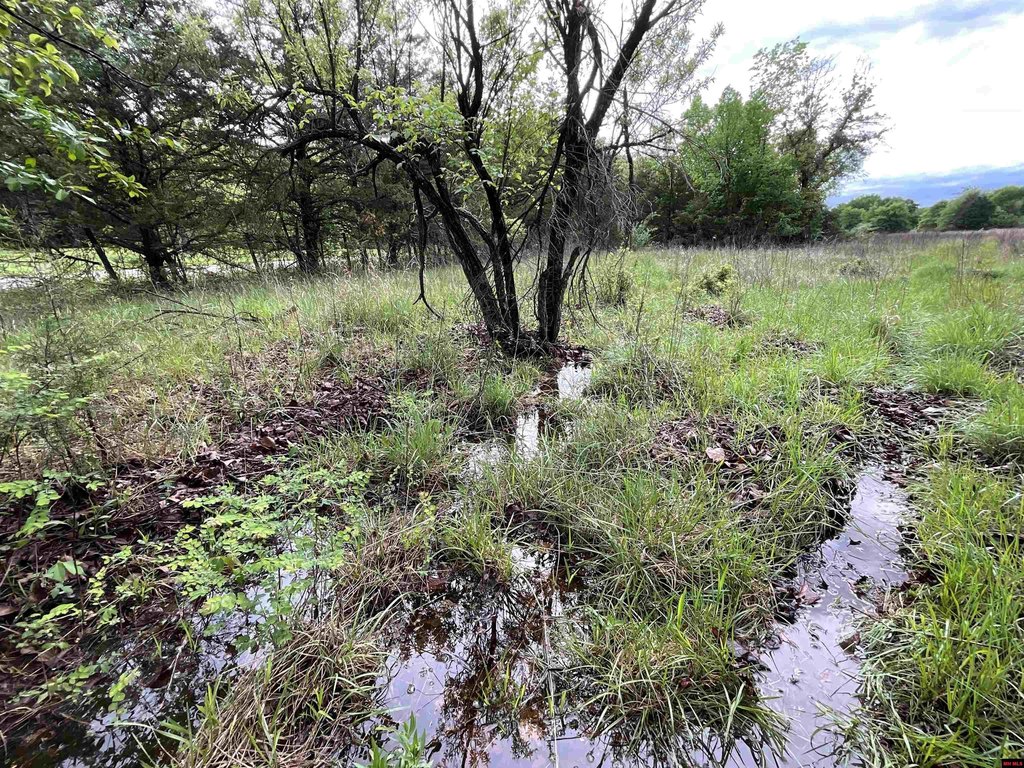
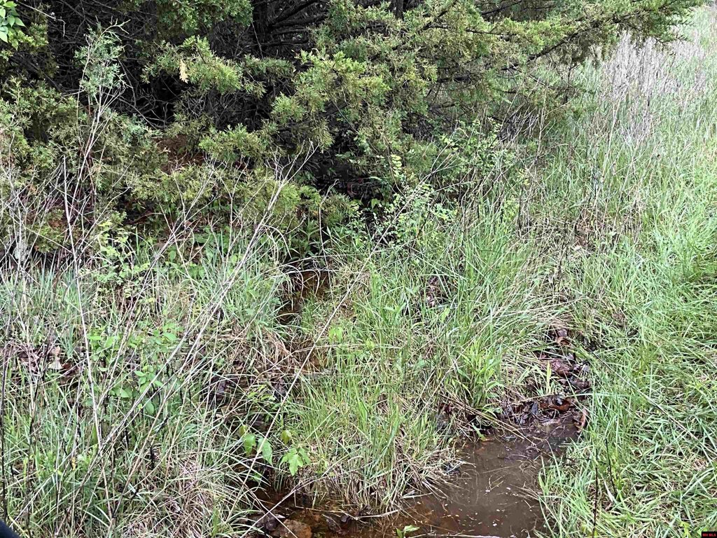
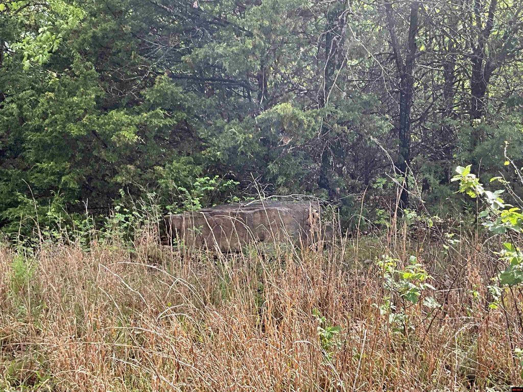
- Water features include 2 ponds (1 spring‑fed) plus a wet‑weather creek
- Electric is available and the property offers plenty of building sites
- Water source: spring
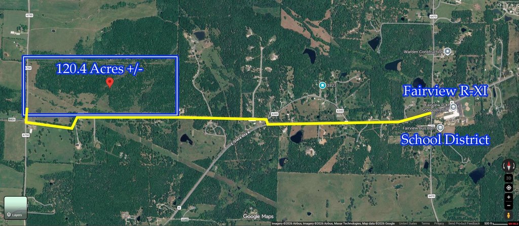
- Fairview School District; close to Mark Twain Forests and Devil's Backbone
Overview
The property is located near town in Howell County, Missouri, and is served by the Fairview School District. The surrounding area connects to nearby outdoor recreation opportunities, including the Mark Twain Forests and the Devil’s Backbone. Outdoor activities such as rivers, floating, and fishing are also noted in the public remarks.
For tenants, buyers, and operators looking for land that can accommodate both recreational and working use, the combination of fencing, water features, and abundant building sites is a practical fit. The presence of deer and turkey, along with the established hunting interest described in the remarks, also supports use as a hunting property. Electric availability can help simplify planning for future structures and site development.
Current Use by Public Records
Map
- City
- West Plains
- County
- Howell
- State
- Missouri
- Longitude
- -91.96365
- Latitude
- 36.71835