Development-Ready Commercial
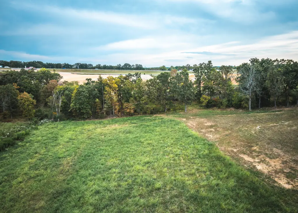
For Sale
$280,000
Firehouse Drive, Waynesville, MO 65583
LAND - Waynesville, MO
Property SizeContact for details
Lot Size10.00 Acres
Days on Market338
Property Features for Firehouse Drive
General Information
Property type
Land
Property subtype
Other
Lot features
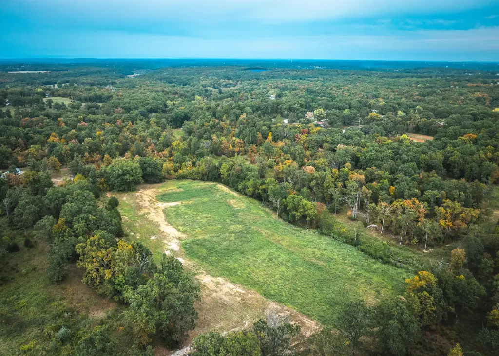
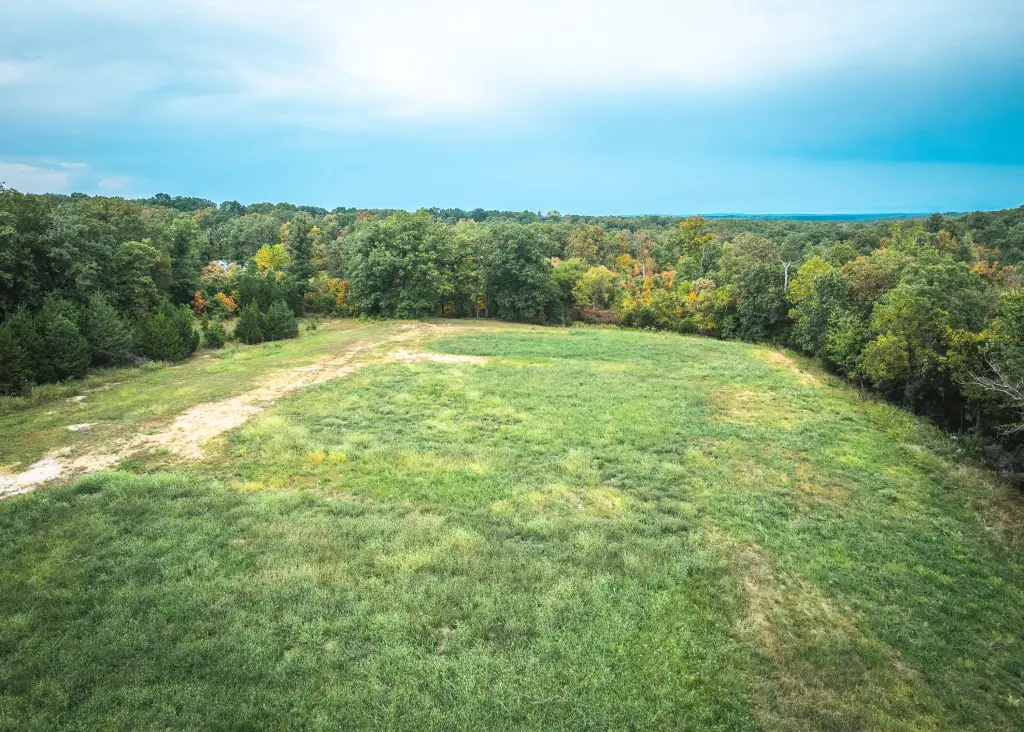
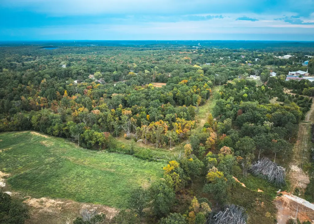
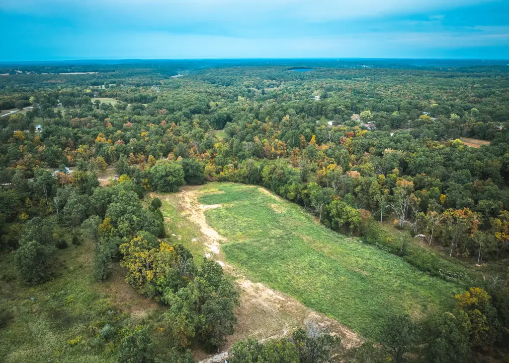
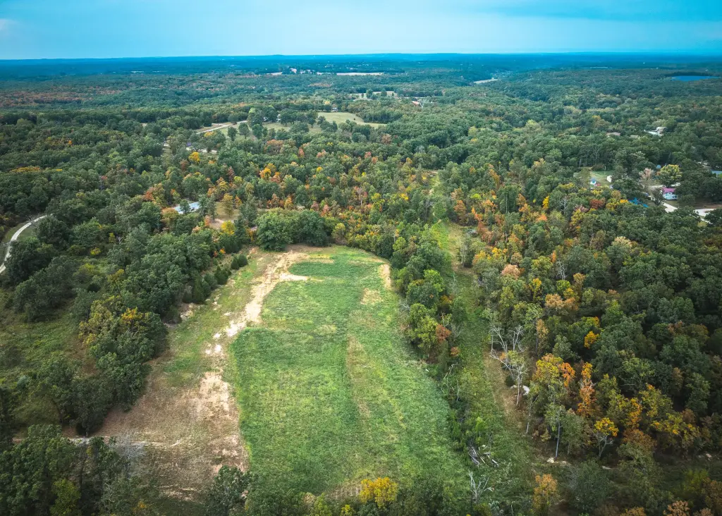
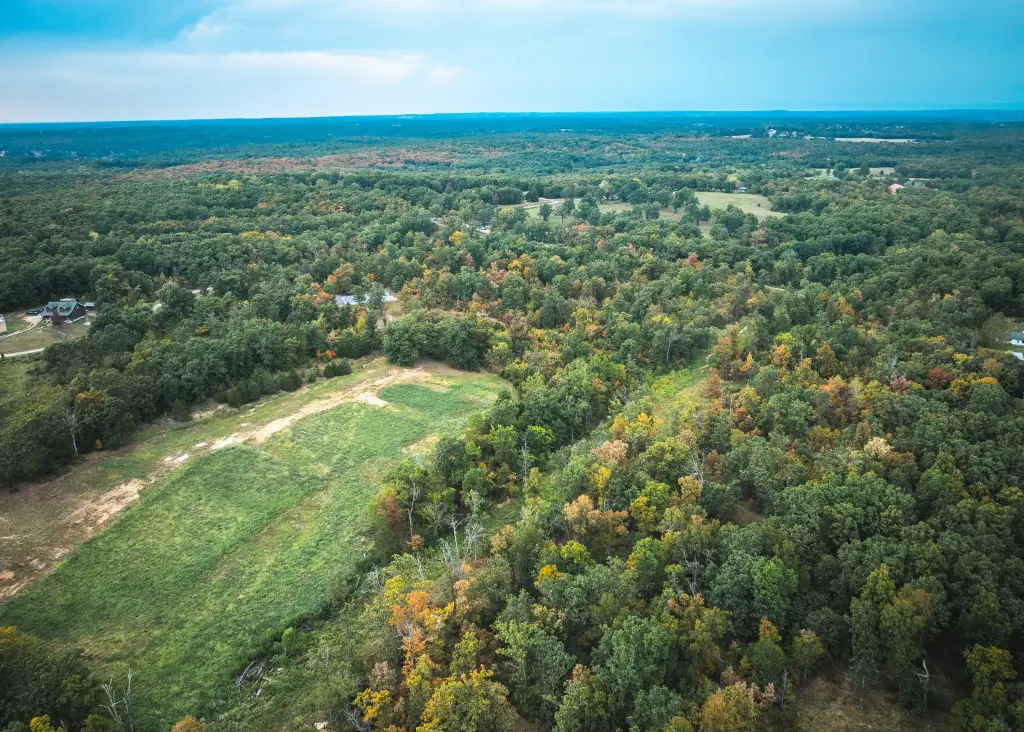
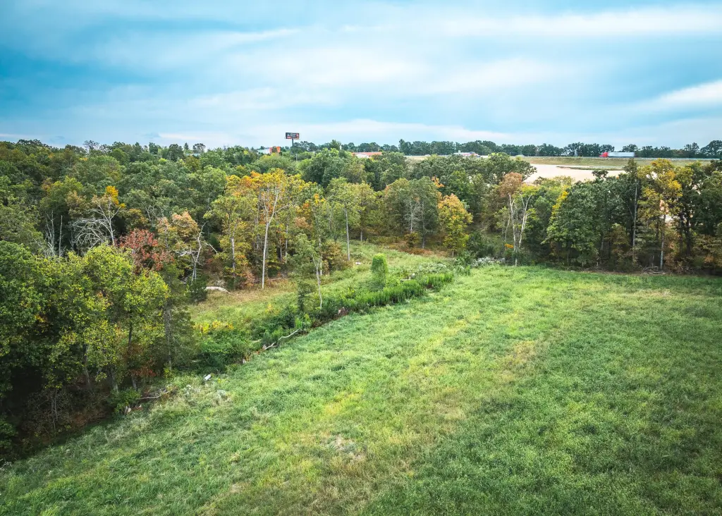
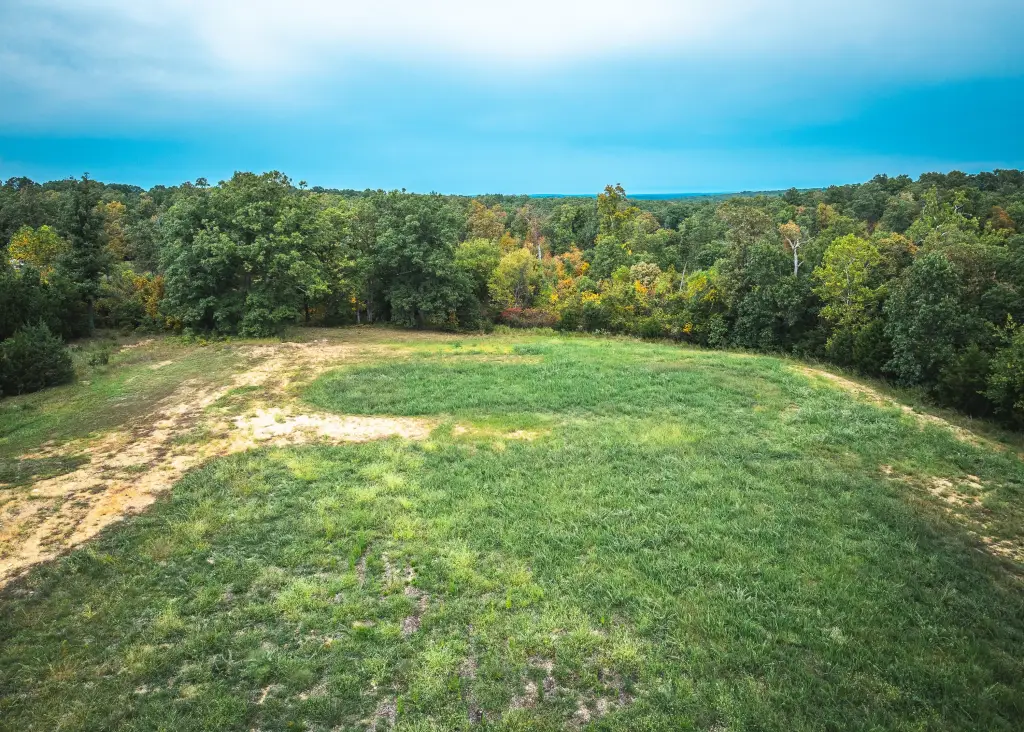
Acreage, Wooded, Cleared
Elementary school
Laquey
Middle school
Laquey
High school
Laquey
Directions
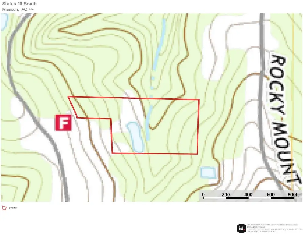
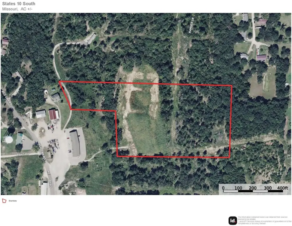
From I-44 take Exit 153 and go North 300 yards to Firehouse Road.
Standard status
Active
APN
14-3.0-05-000-000-015-007
Lot size
10.00 Acres
Taxes and HOA fees
Tax Year
2024
Tax Annual Amount
206
Listing Agency:
Living The Dream, Inc.
(855) 289-3478
Listed By:
Jerry D. Hunter · License #2019005150
(573) 578-0717
Added: Sep 22, 2025
Changed: Jul 23
Last Checked: Aug 25 at 10:06PM
MLS# 60305316
Copyright © 2026 Southern Missouri Regional MLS, LLC (SOMO). All rights reserved. All information provided by the listing agent/broker is deemed reliable but is not guaranteed and should be independently verified.
Investment Insights
Based on property information with market context.
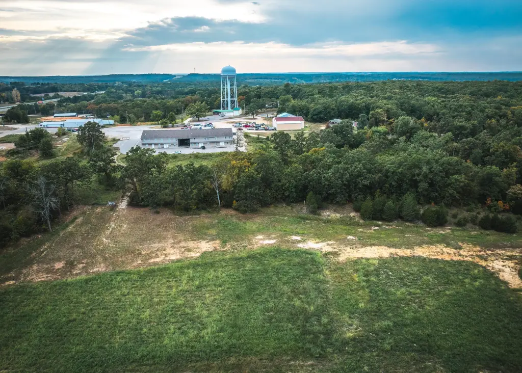
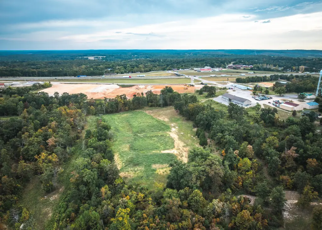
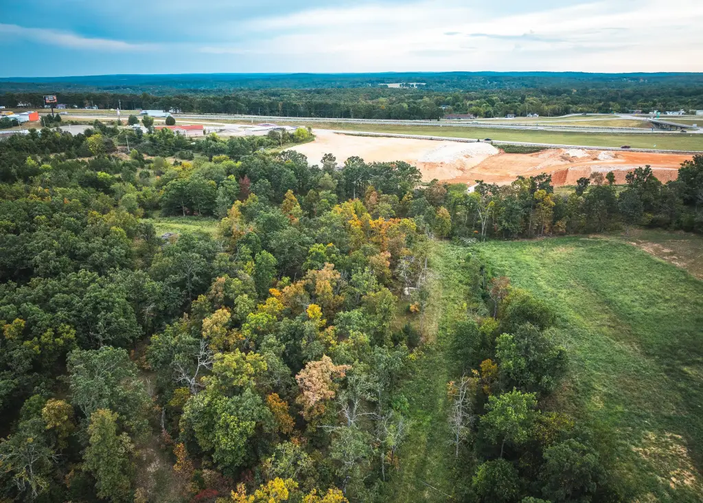
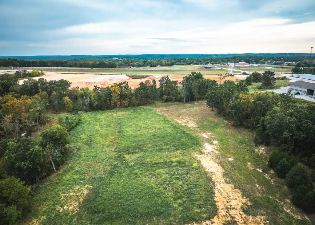
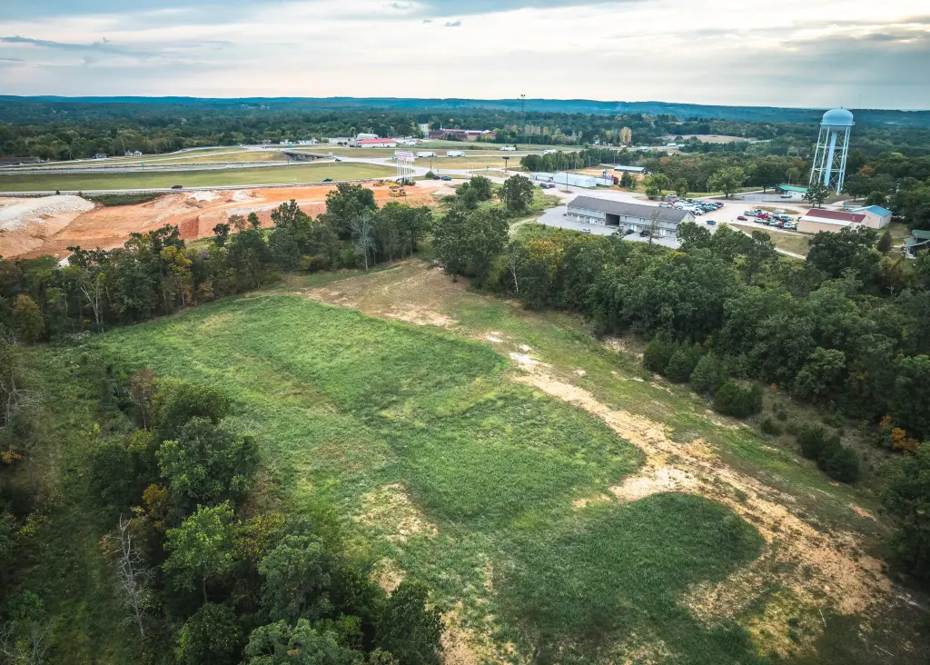
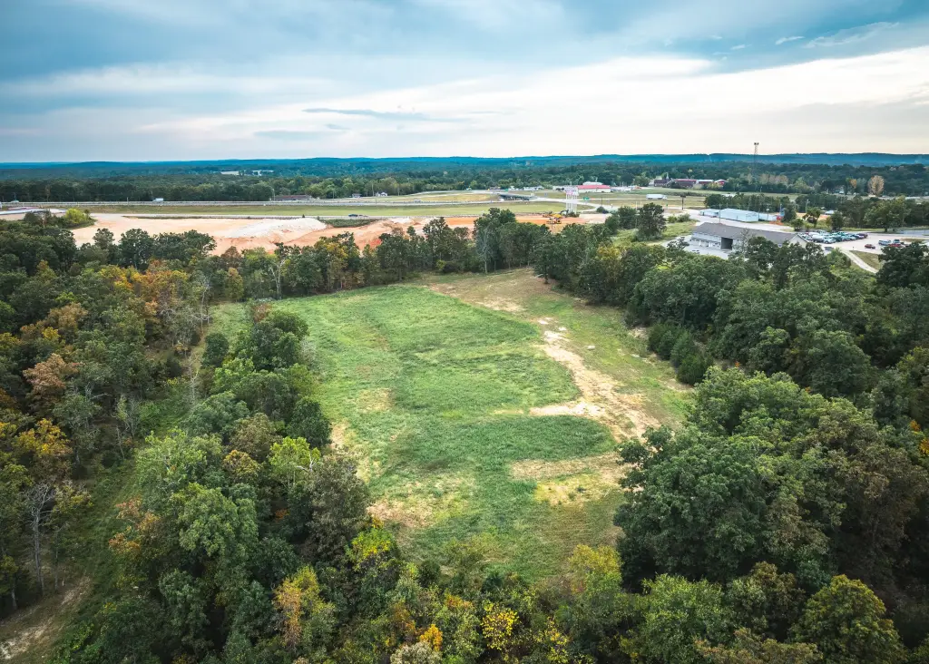
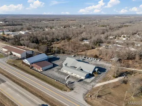
This development-ready 10-acre parcel is offered for sale in Waynesville, Missouri. The property has public water stubbed to the site, a city sewer system running through the property, and Laclede Electric underground service across the land. A gated gravel entrance provides access.
The parcel is currently zoned R-3. Public remarks also note potential for modification to light industrial.
Located just off I-44 near Exit 153, the site is described as near Route 66 and approximately 6 miles from the West Gate of Fort Leonard Wood Military Base, with nearby schools, shopping, and local amenities referenced in the listing.
The parcel is currently zoned R-3. Public remarks also note potential for modification to light industrial.
Located just off I-44 near Exit 153, the site is described as near Route 66 and approximately 6 miles from the West Gate of Fort Leonard Wood Military Base, with nearby schools, shopping, and local amenities referenced in the listing.
Key Highlights
- Prime location directly off I‑44 (Exit 153) and adjacent to Route 66, offering unbeatable accessibility.
- Development‑ready with all utilities on site: public water stubbed, city sewer running through property, and Laclede Electric underground service.
- Excellent investment opportunity due to current R‑3 zoning with potential for modification to light industrial.
Property Analytics
Property Profile
Current Use
Lease Details
Yes
Highway access
Yes
Paved road access
Yes
Utilities to site
Location Intelligence
Trade Area within ½ mile
65
Businesses Nearby
Explore this area
Business Placement
Demographics for 65583, MO
13,561
Population
5,836
Households
2.3
Avg Household Size
34
Median Age
34%
College-Educated
97%
High-School Grad
63.3 sq mi
ZIP Area
214
Density / Sq Mi
$78,763
Median Household Income
$44,667
Median Earnings
$1,107
Median Rent
$209,400
Median Home Value

Questions? Ask Rey
Realmo’s AI knows this listing — price, zoning, demand, history. Ask anything.






Frequently Asked Questions
What type of property is this?
Residential land & home lot - 10-acre parcel includes public water stubs, city sewer, and underground electric across the property.
Where is this residential land & home lot located?
The property is located at Firehouse Drive Waynesville, MO.
What is the asking price?
The asking price for this property is $280,000.
What are key features of this property?
This property features: Prime location directly off I‑44 (Exit 153) and adjacent to Route 66, offering unbeatable accessibility.; Development‑ready with all utilities on site: public water stubbed, city sewer running through property, and Laclede Electric underground service.; Excellent investment opportunity due to current R‑3 zoning with potential for modification to light industrial.



