County Line Lake Waterfront


For Sale
$98,800
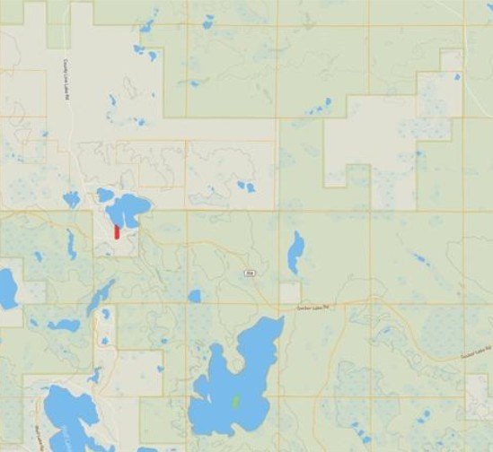
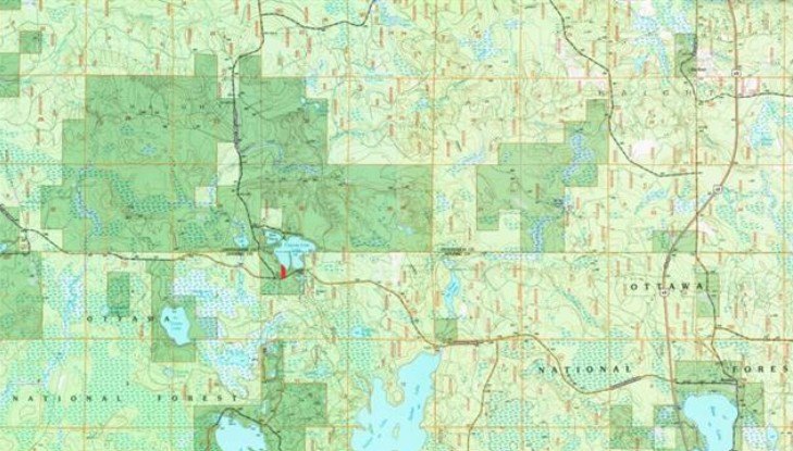
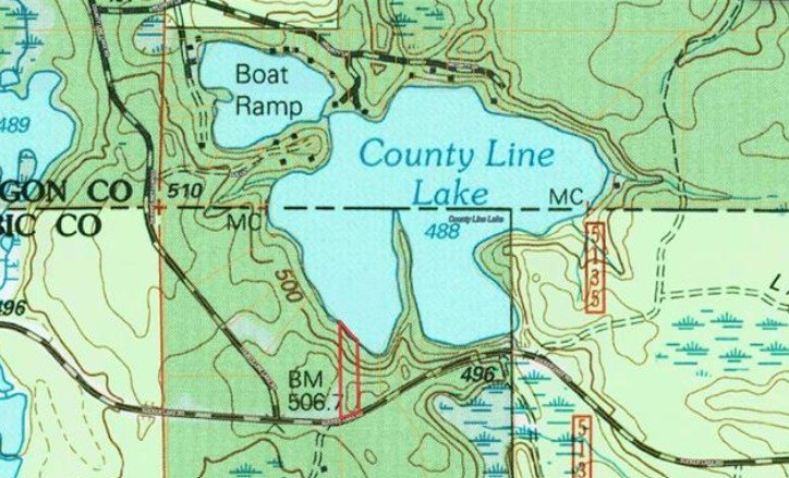
County Line Lake Crossroad lot 1, Watersmeet, MI 49969
Land, Watersmeet, MI
Property SizeContact for details
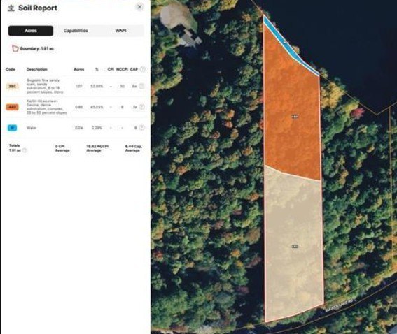
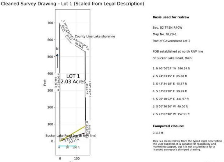
Lot Size2.00 Acres
Days on Market186
Property Features for County Line Lake Crossroad lot 1
General Information
Property type
Land
Property subtype
Other
High school district
000000
Standard status
Active
Lot size
2.00 Acres
Listing Agency:
Great Lakes & Land Real Estate
Listed By:
Timothy Keohane
(906) 228-9312
Added: Apr 4
Changed: Sep 21
Last Checked: Oct 6 at 5:06AM
MLS# 11688211
Copyright © 2026 My State MLS. All rights reserved. All information provided by the listing agent/broker is deemed reliable but is not guaranteed and should be independently verified.
Investment Insights
Based on property information with market context.
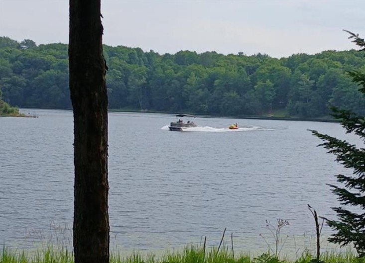
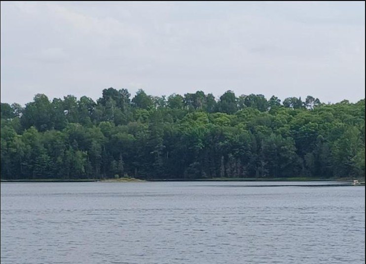
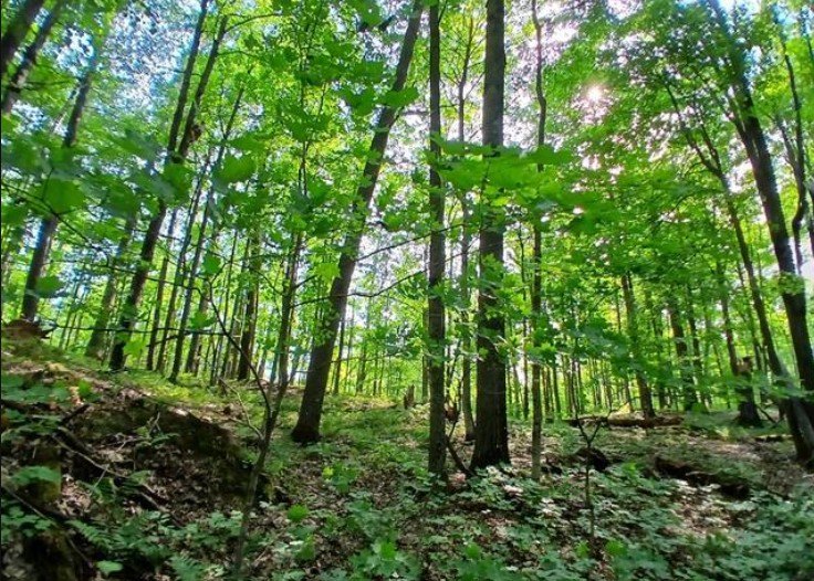
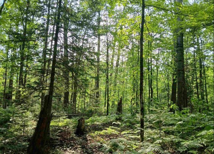
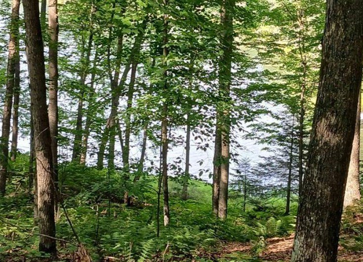
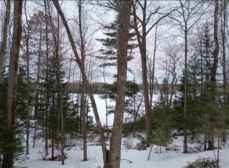
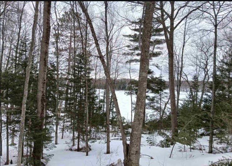
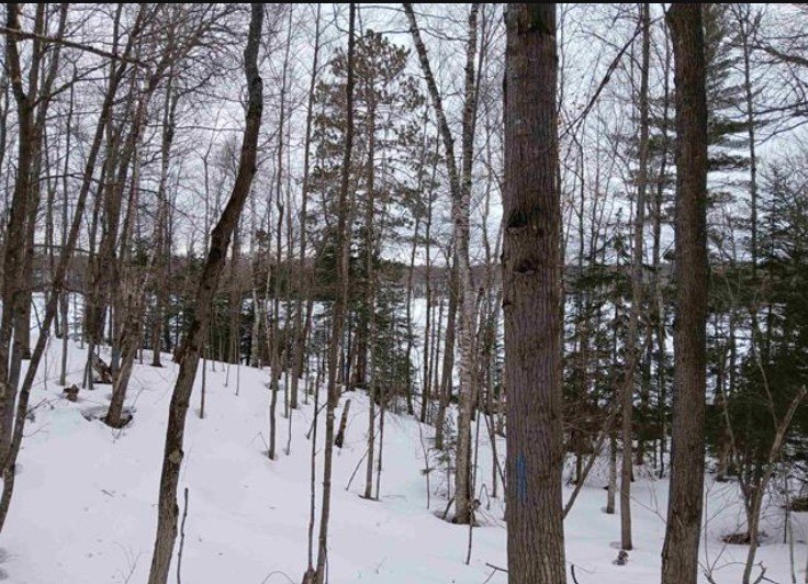
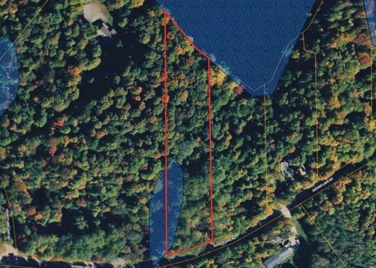
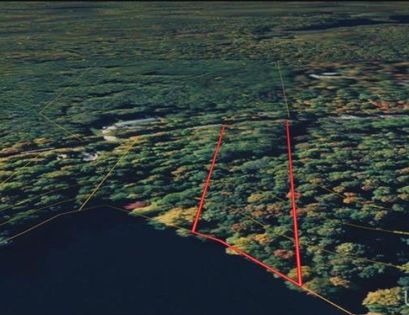
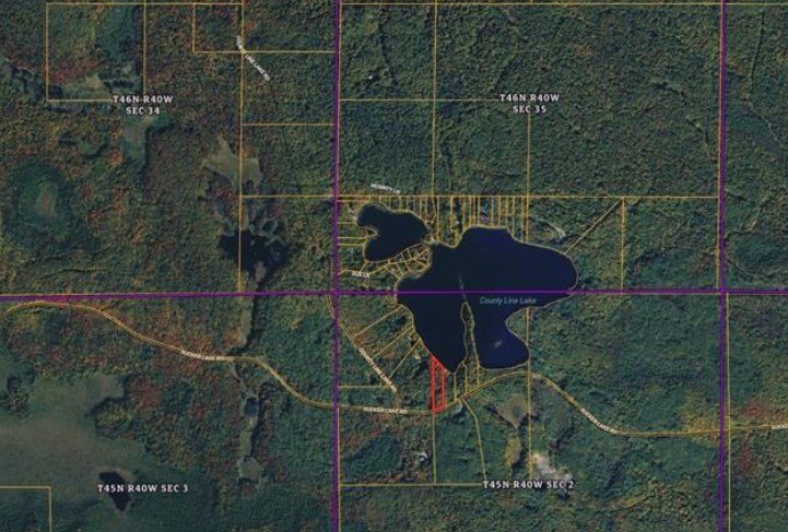
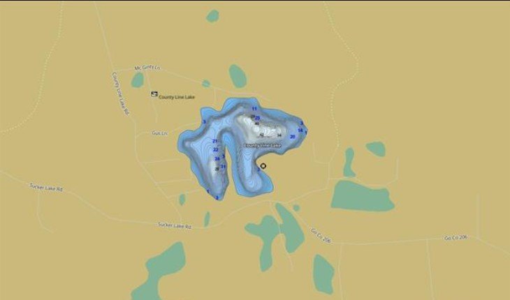
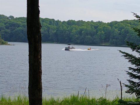
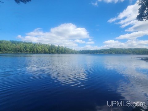
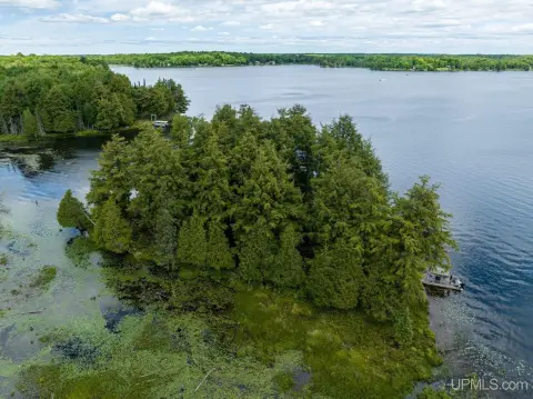
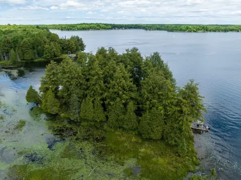
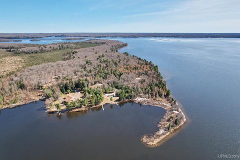
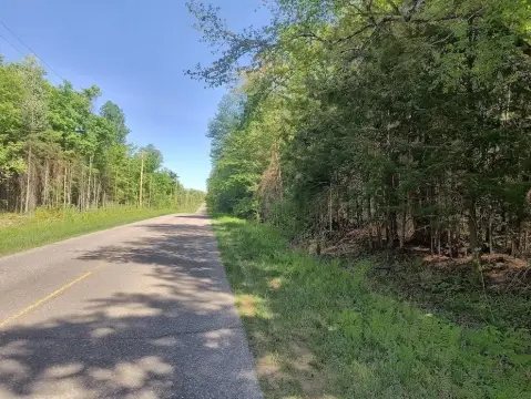
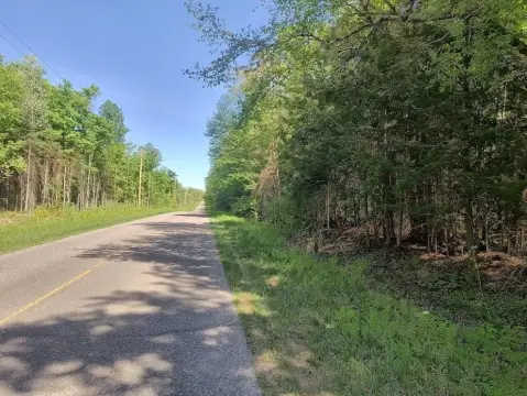
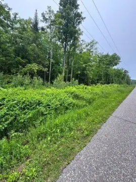
This waterfront land parcel is situated on County Line Lake in Watersmeet Township, within Michigan’s Upper Peninsula. The wooded setting includes a mix of hardwoods and pines, with 231+/- feet of lake frontage. County Line Lake is an approximately 62-acre inland lake with water depths reaching up to 45 feet and supports bass and panfish. The lake is suited to kayaking, canoeing, fishing, and smaller watercraft.
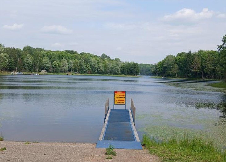
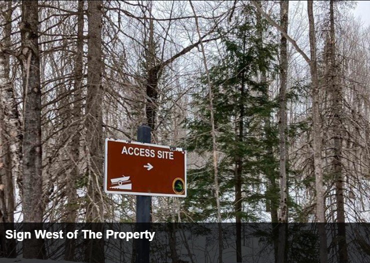
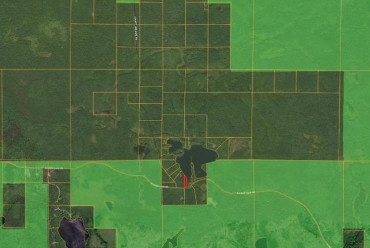
The property is located near the Ottawa National Forest and surrounding public lands, with nearby trail systems for ATV riding, snowmobiling, hiking, and cross-country skiing. A public hard-surfaced boat launch is available at the northern end of the lake off Boat Landing Road, with parking and basic facilities. The surrounding area is rural and supports hunting, fishing, and seasonal recreational use.
The property is located near the Ottawa National Forest and surrounding public lands, with nearby trail systems for ATV riding, snowmobiling, hiking, and cross-country skiing. A public hard-surfaced boat launch is available at the northern end of the lake off Boat Landing Road, with parking and basic facilities. The surrounding area is rural and supports hunting, fishing, and seasonal recreational use.
Key Highlights
- 231+/- feet of frontage on County Line Lake
- County Line Lake covers approximately 62 acres and reaches depths of up to 45 feet
- Wooded land with hardwoods and pines
Property Analytics
Current Use
Location Intelligence
Demographics for 49969, MI
1,445
Population
1,494
Households
1
Avg Household Size
57
Median Age
24%
College-Educated
97%
High-School Grad
255.0 sq mi
ZIP Area
6
Density / Sq Mi
$61,101
Median Household Income
$35,577
Median Earnings
$481
Median Rent
$245,800
Median Home Value

Questions? Ask Rey
Realmo’s AI knows this listing — price, zoning, demand, history. Ask anything.


Frequently Asked Questions
What type of property is this?
Land - Wooded recreational parcel with lake frontage, public-land surroundings, and access to four-season outdoor activities.
Where is this land located?
The property is located at County Line Lake Crossroad lot 1 Watersmeet, MI.
What is the asking price?
The asking price for this property is $98,800.
What are key features of this property?
This property features: 231+/- feet of frontage on County Line Lake; County Line Lake covers approximately 62 acres and reaches depths of up to 45 feet; Wooded land with hardwoods and pines


