Hunting Land with Rustic

For Sale
$2,900,000
W Fork Combest Creek Road, Plains, MT 59859
Land, Plains, MT
Property SizeContact for details
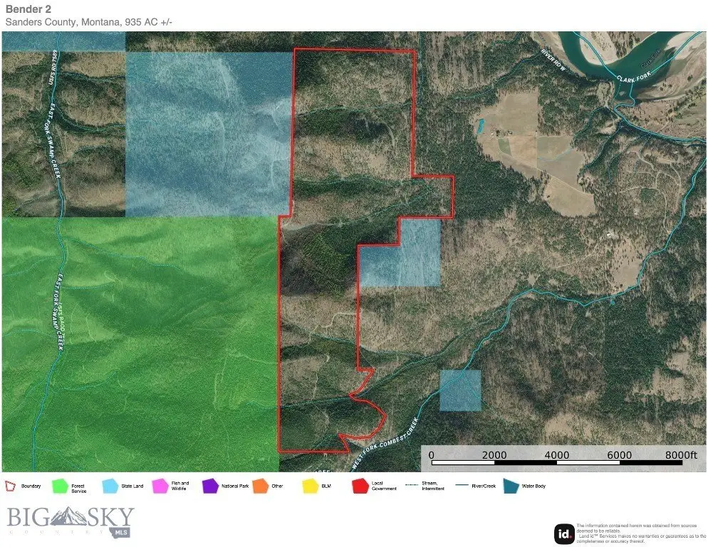
Lot Size935.00 Acres
Days on Market280
Property Features for W Fork Combest Creek Road
General Information
Property type
Land
Property subtype
Other
Zoning description
Call Listing Agent for Details
View
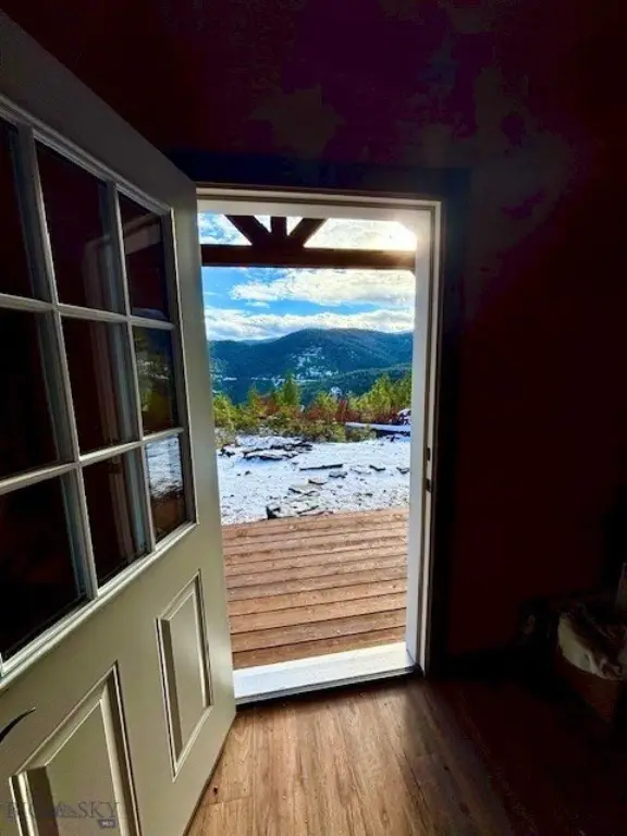
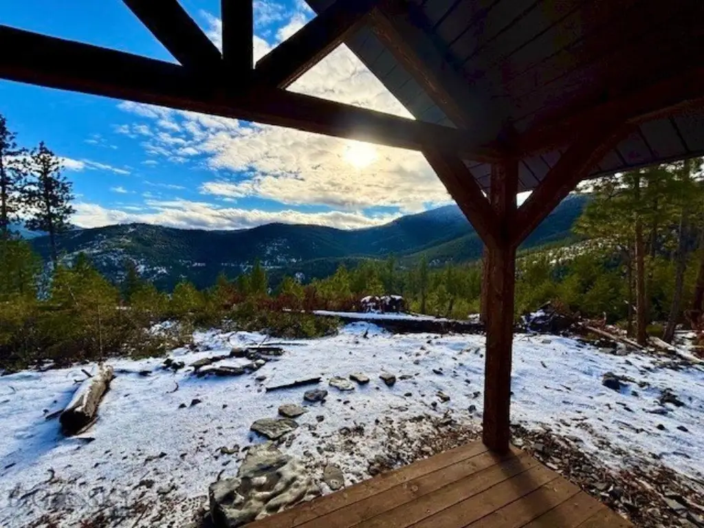
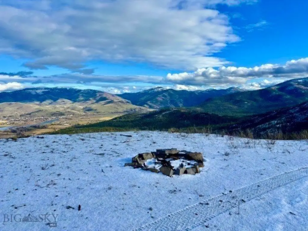
Mountains
Directions
CLA
Subdivision
12M - Other Montana Counties
Standard status
Active
APN
0000031850
Lot size
935.00 Acres
Taxes and HOA fees
Tax Year
2025
Tax Description
S06, T19 N, R26 W, C.O.S. 3940, ACRES 312.96, PLAT C, E2SW, TRACT 1; S31, T20 N R26 W, PLAT C W2E2 SESE W2 467.12 AC; S06, T19 N, R26 W, ACRES 157.11, PLAT C1 SENW GOVT LOTS 2-5; 2+/- ACRES TO BE SECTIONED/DIVIDED OFF TO NEIGHBORING PROPERTY. TOTAL ACRES TO BE 935 +/-
Tax Annual Amount
1121
Legal Description
S06, T19 N, R26 W, C.O.S. 3940, ACRES 312.96, PLAT C, E2SW, TRACT 1; S31, T20 N R26 W, PLAT C W2E2 SESE W2 467.12 AC; S06, T19 N, R26 W, ACRES 157.11, PLAT C1 SENW GOVT LOTS 2-5; 2+/- ACRES TO BE SECTIONED/DIVIDED OFF TO NEIGHBORING PROPERTY. TOTAL ACRES TO BE 935 +/-
Listing Agency:
Corder & Associates
(406) 231-8515
Listed By:
Trampus Corder · License #BRO-38039
(406) 622-3224
Added: Dec 29, 2025
Changed: Aug 27
Last Checked: Oct 5 at 4:06PM
MLS# 407697
Copyright © 2026 Big Sky Country MLS. All rights reserved. All information provided by the listing agent/broker is deemed reliable but is not guaranteed and should be independently verified.
Investment Insights
Based on property information with market context.
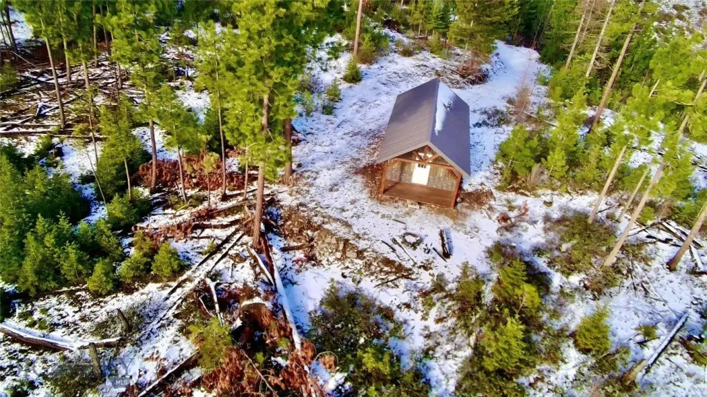
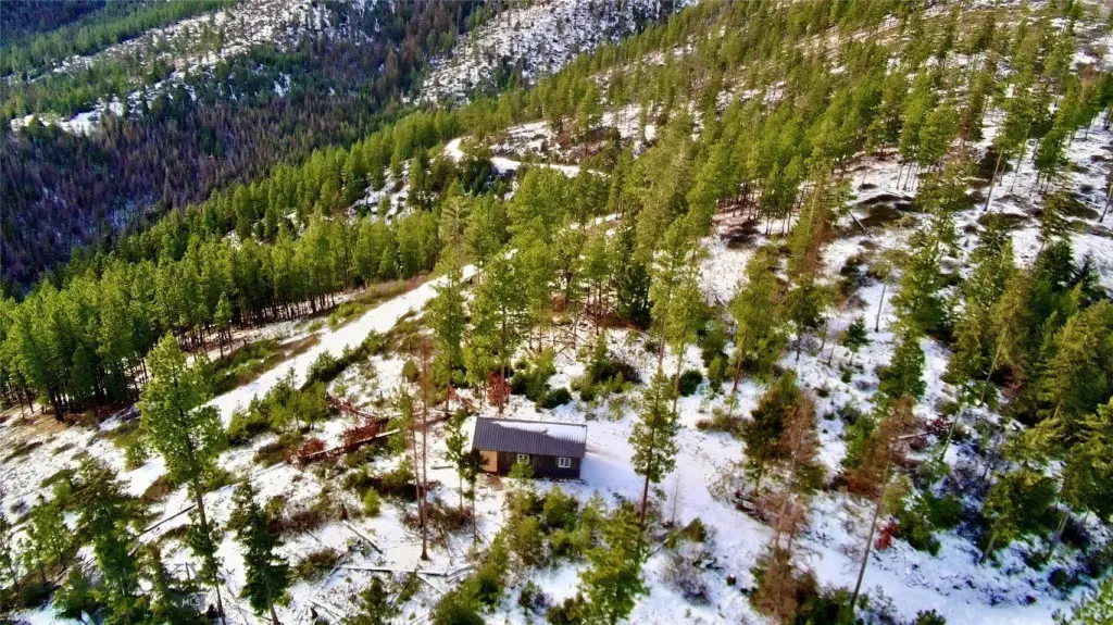
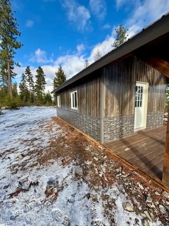
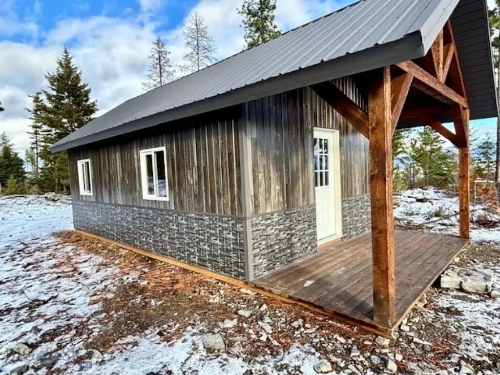
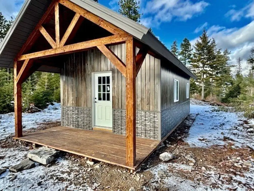
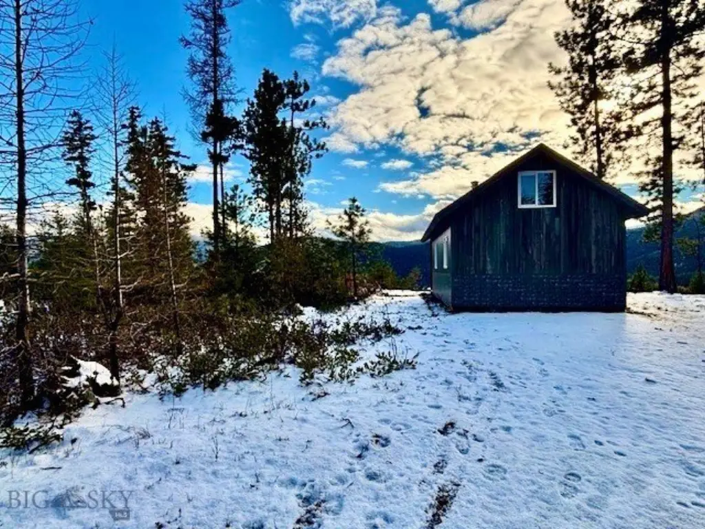
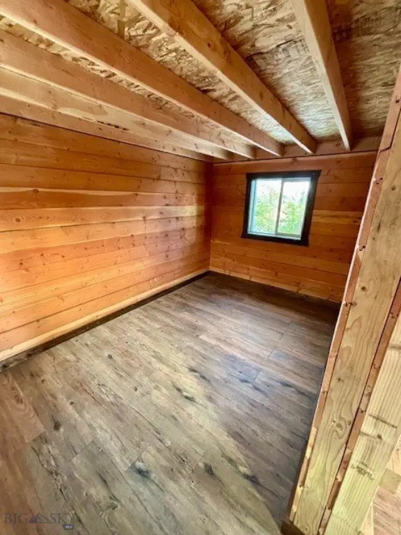
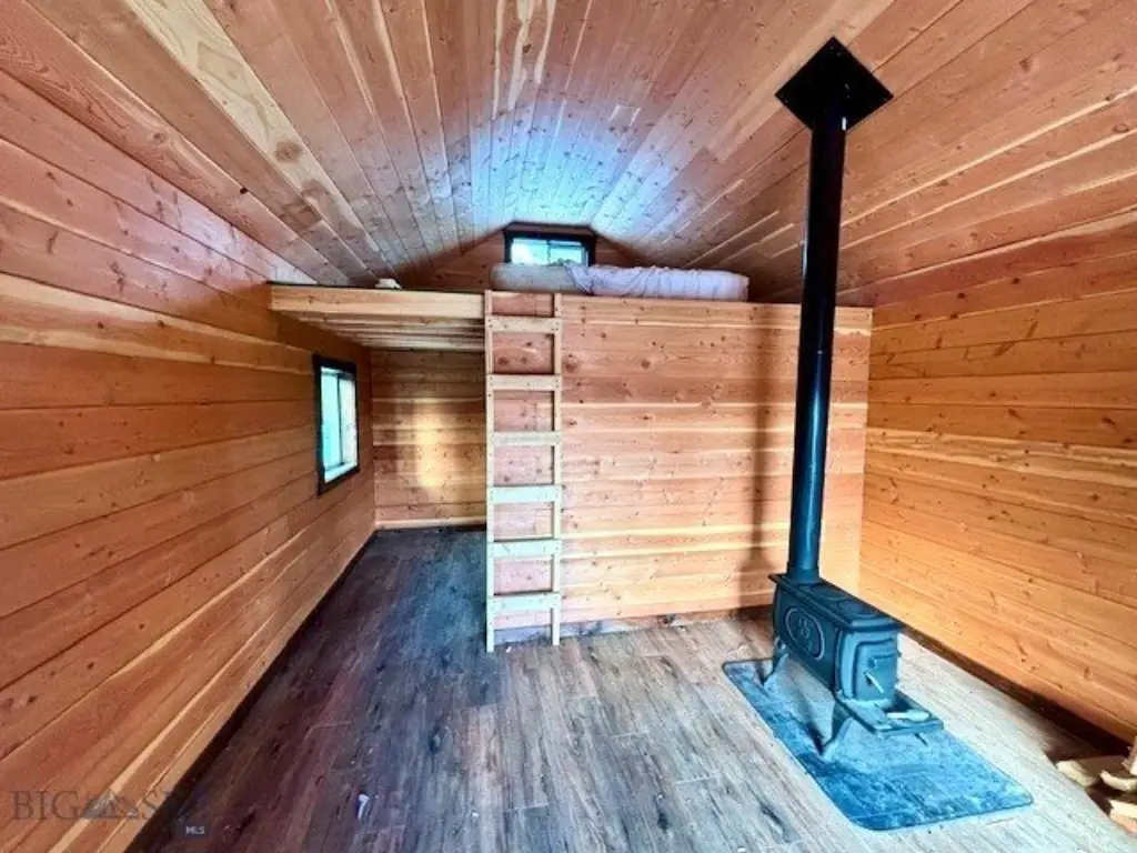
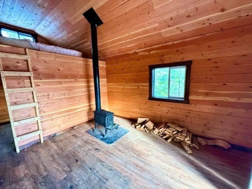
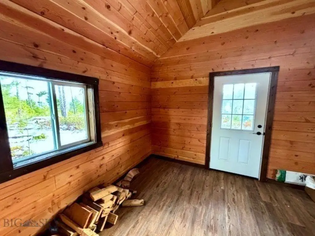
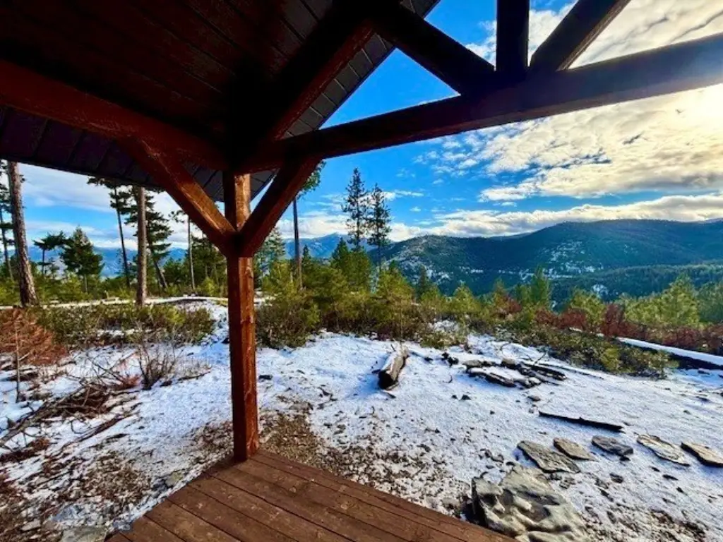
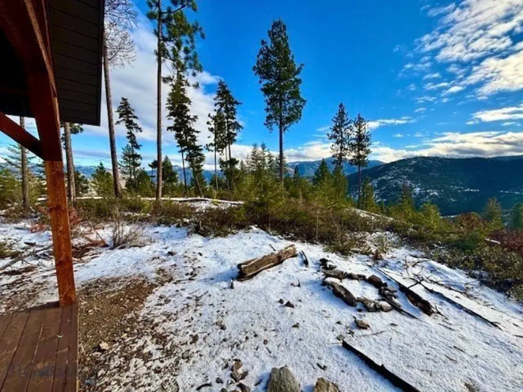
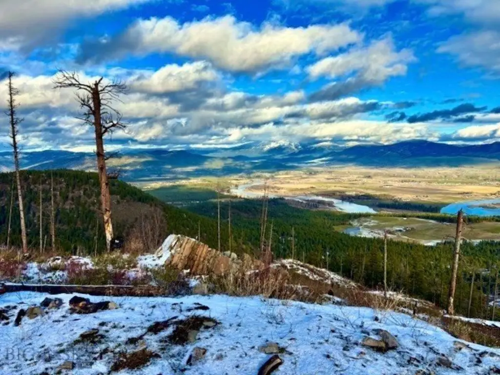
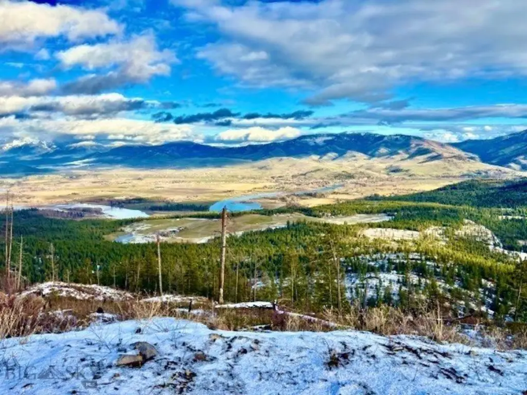
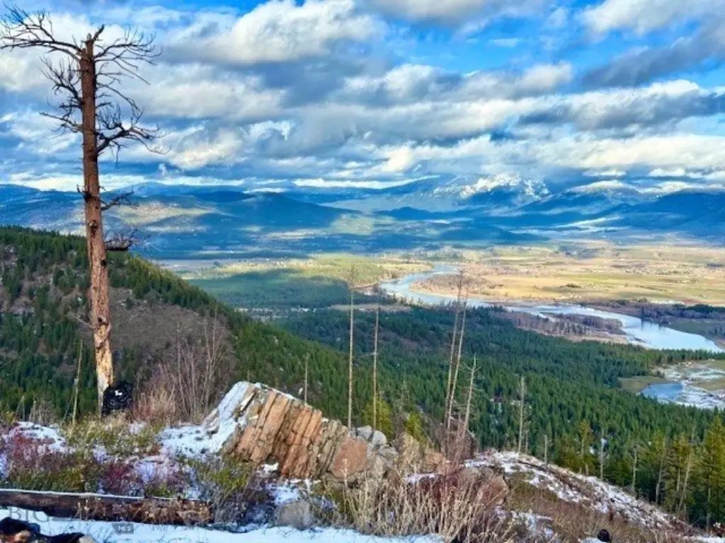
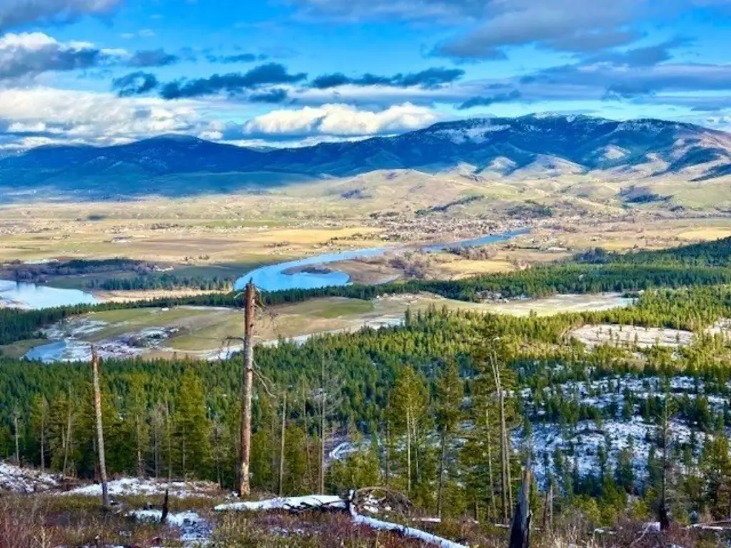
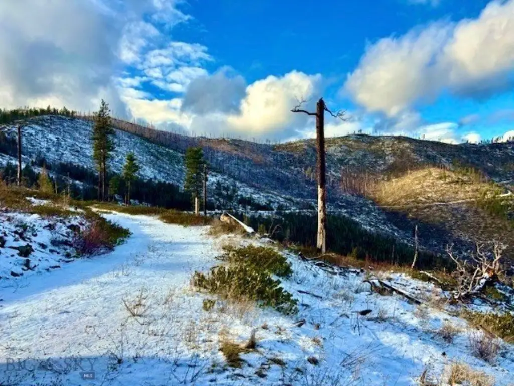
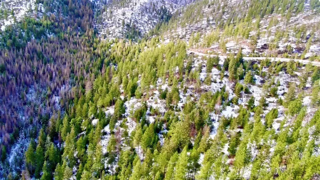
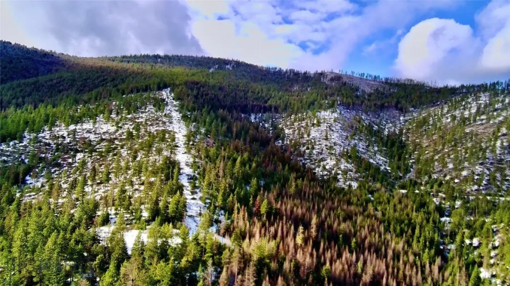
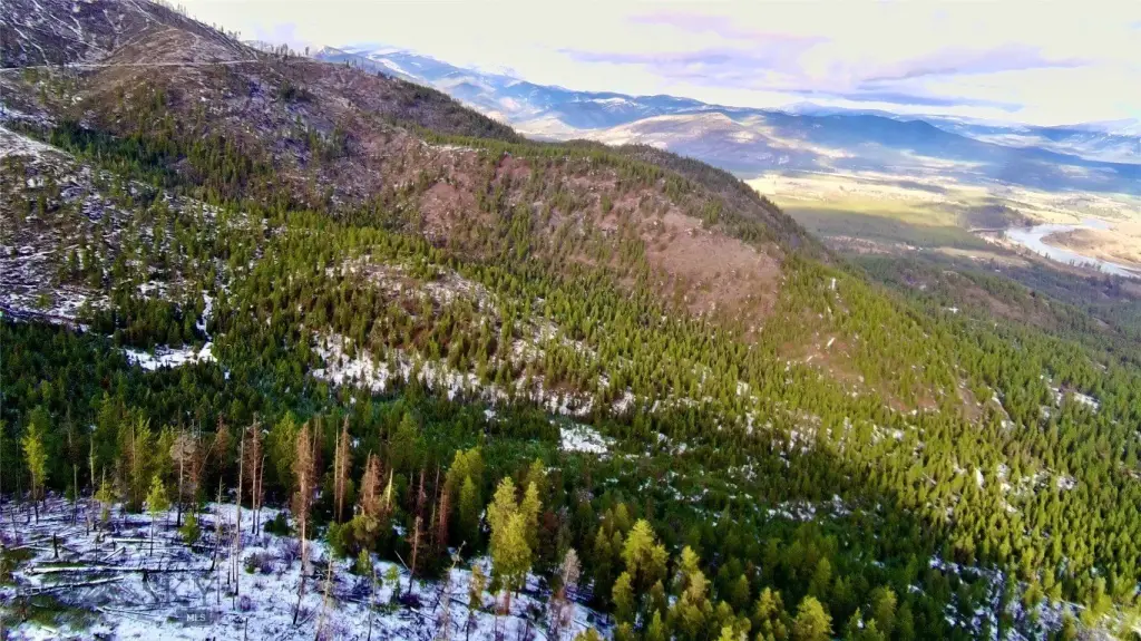
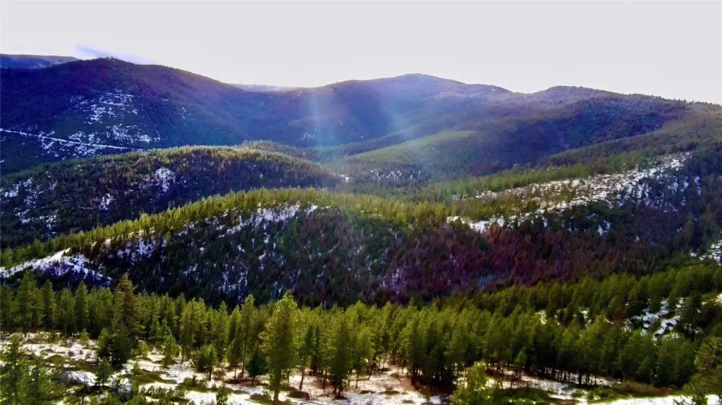
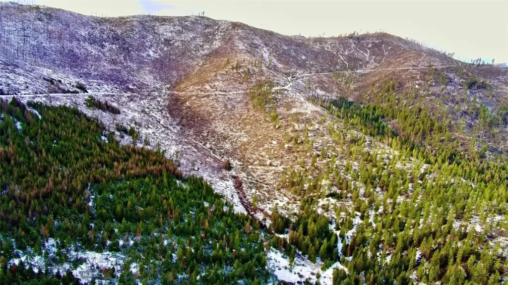
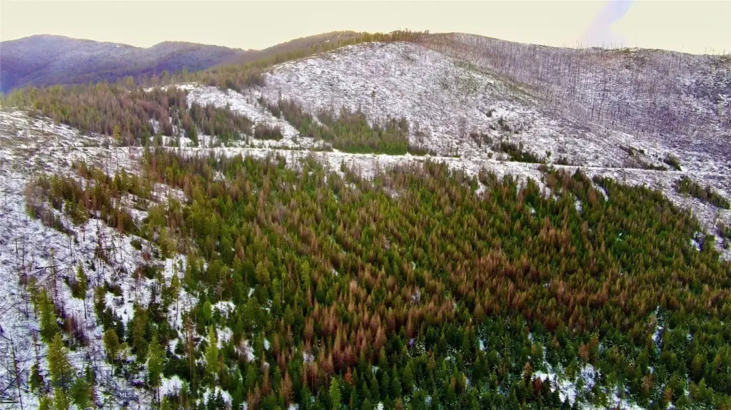
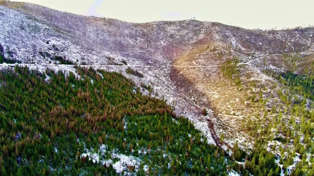
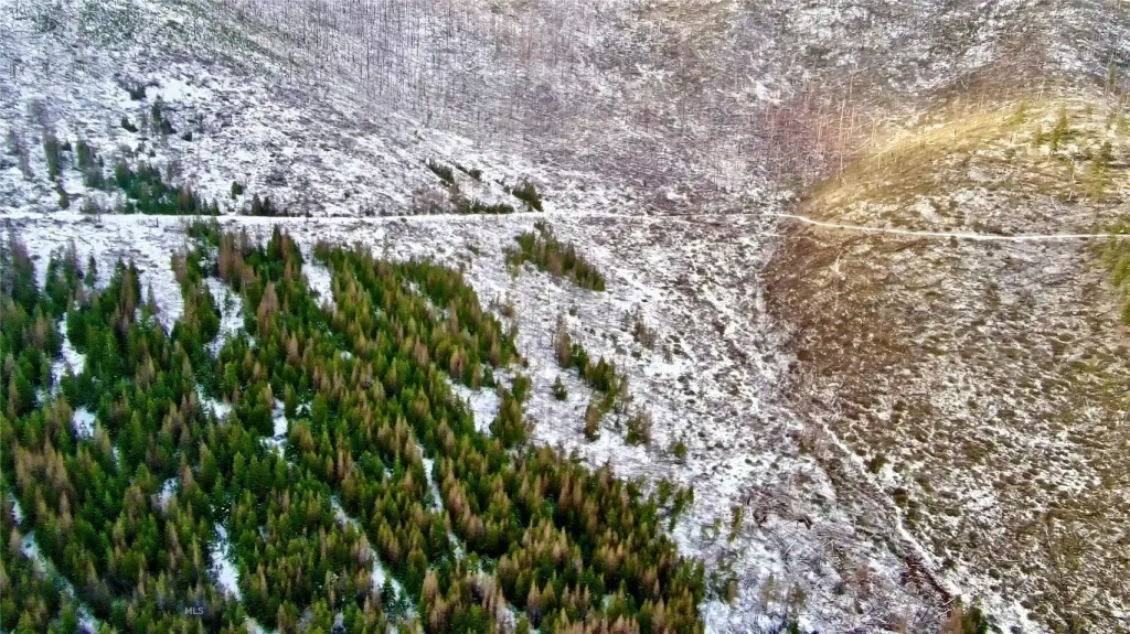
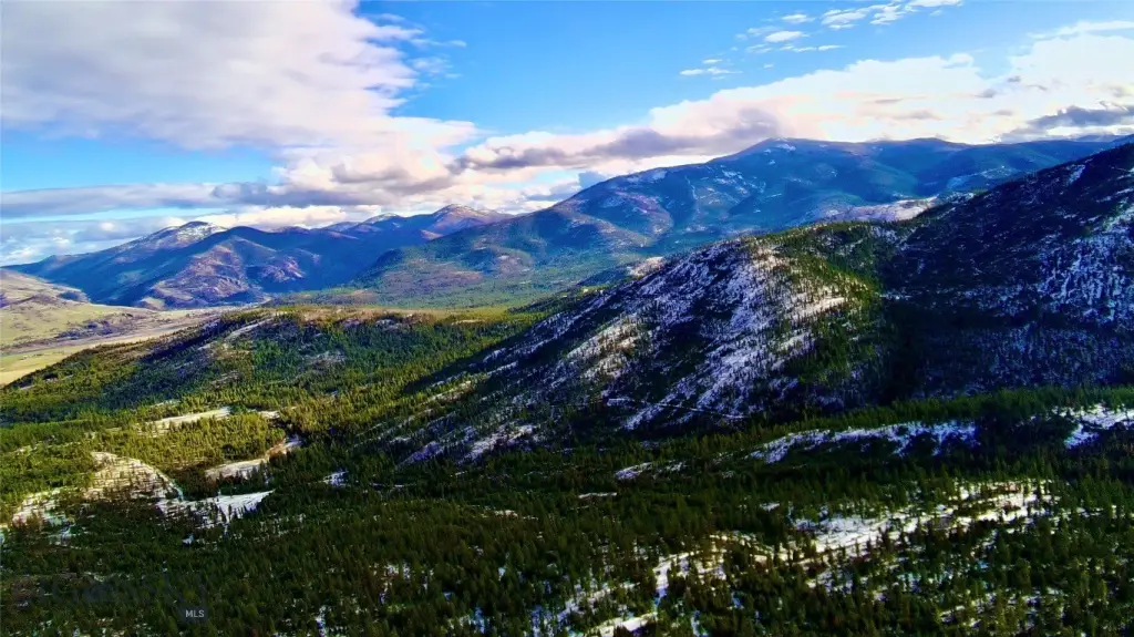
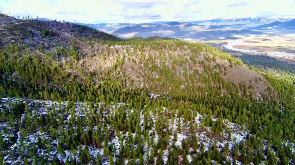
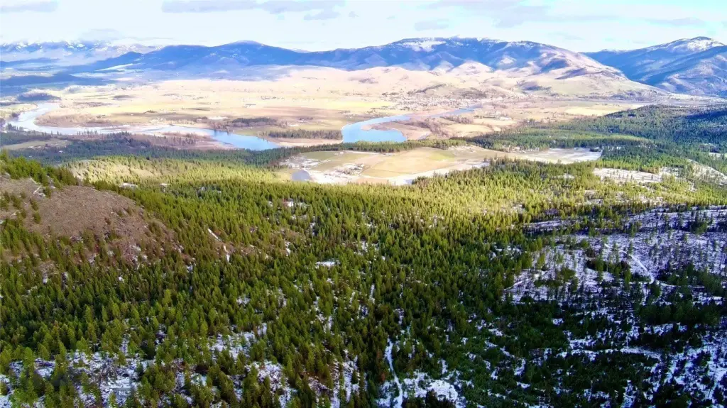
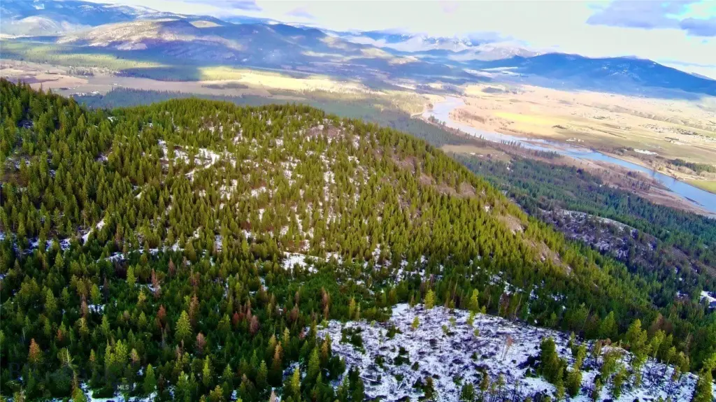
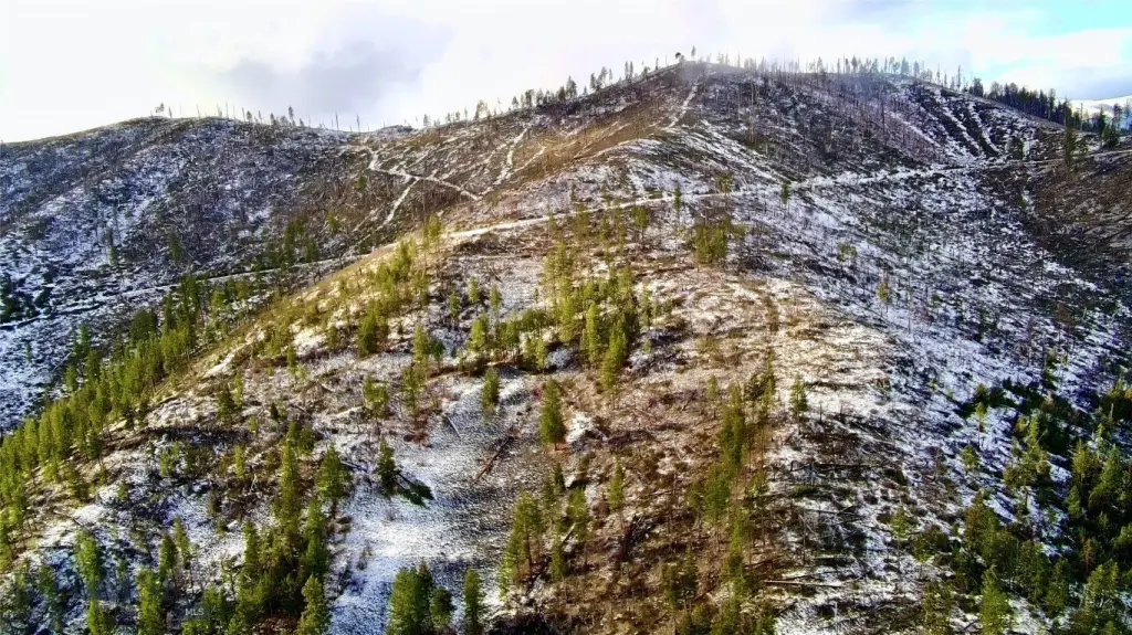
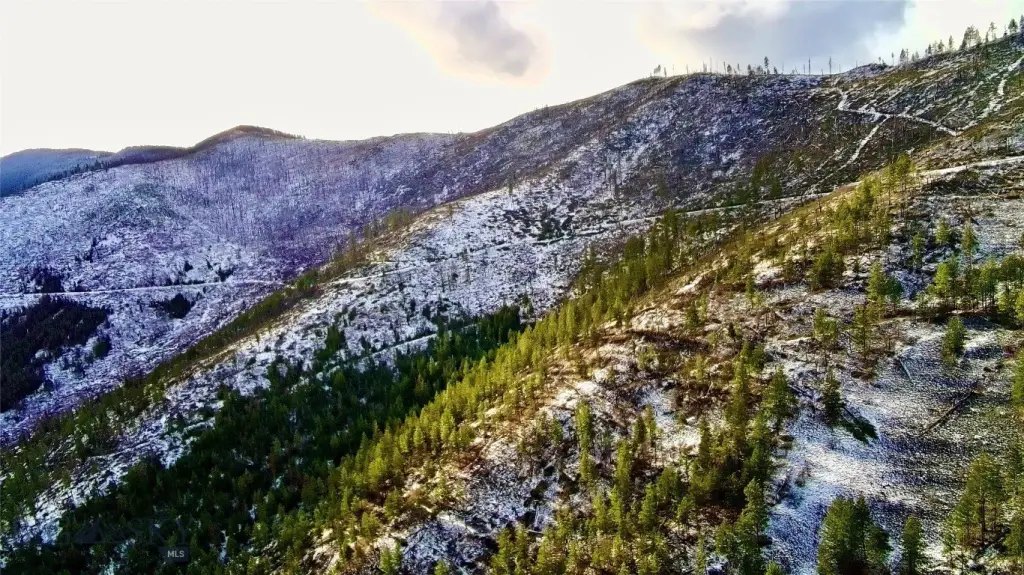
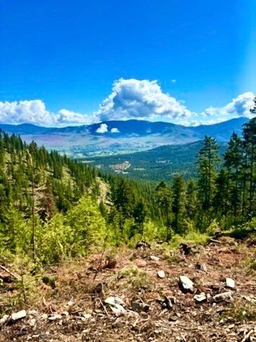
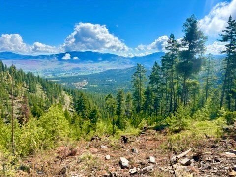
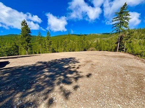
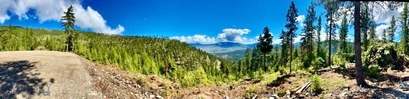
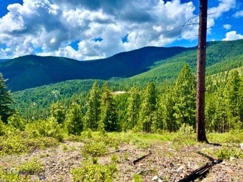
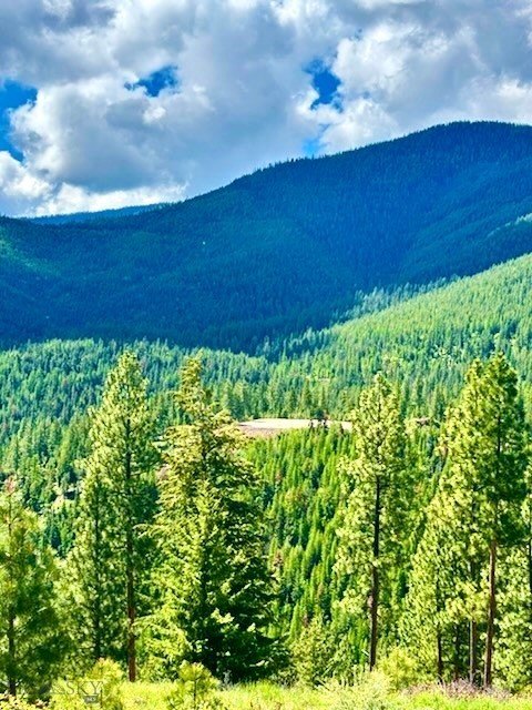
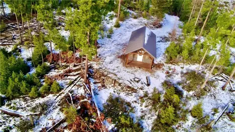
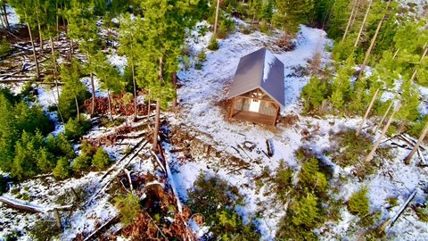
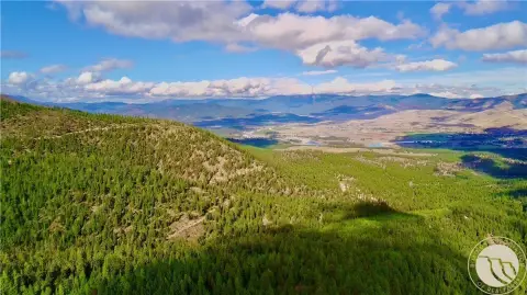
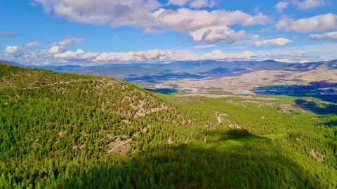
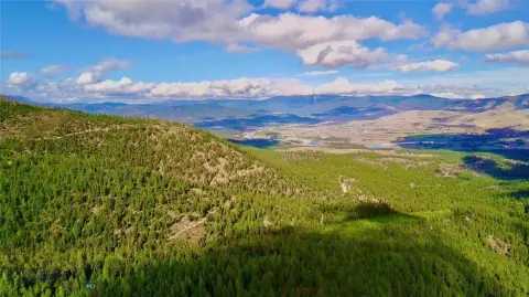
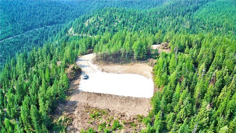
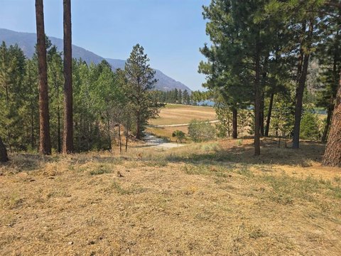
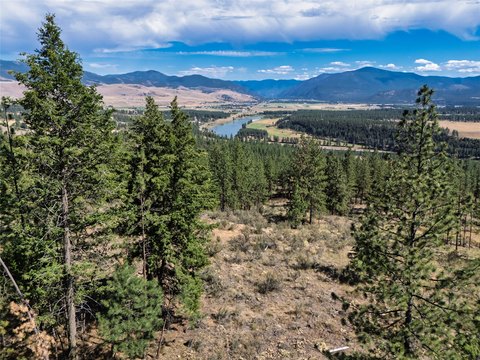
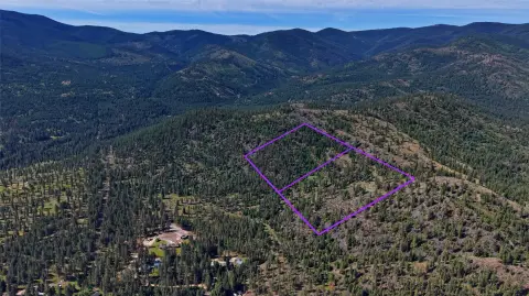
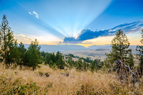
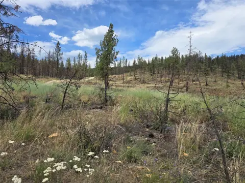
This expansive hunting property in Sanders County combines rolling forested terrain with open clearings and elevated viewpoints. A rustic dry cabin provides a simple backcountry base and includes a woodstove. The varied landscape supports hunting, hiking, horseback riding, and trail use across multiple seasons.
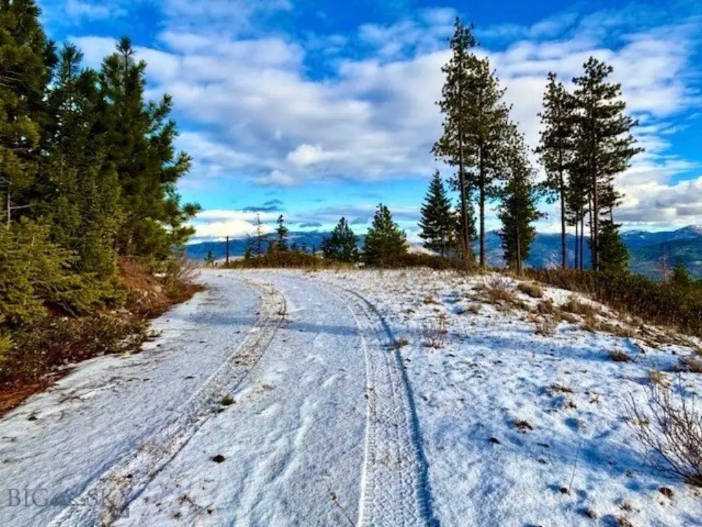
Access is legal, and the property carries no covenants. Located on W Fork Combest Creek Road near Plains, Montana, the land offers a rural setting suited to outdoor recreation and a private retreat. Timber, open ground, and changing elevation create a varied setting for exploring and observing wildlife.
Access is legal, and the property carries no covenants. Located on W Fork Combest Creek Road near Plains, Montana, the land offers a rural setting suited to outdoor recreation and a private retreat. Timber, open ground, and changing elevation create a varied setting for exploring and observing wildlife.
Key Highlights
- Rustic dry cabin includes a woodstove
- Legal access to the property
- No covenants
Property Analytics
Current Use
Location Intelligence
Demographics for 59859, MT
3,683
Population
2,155
Households
1.7
Avg Household Size
52
Median Age
21%
College-Educated
92%
High-School Grad
710.8 sq mi
ZIP Area
5
Density / Sq Mi
$61,667
Median Household Income
$24,772
Median Earnings
$792
Median Rent
$403,800
Median Home Value

Questions? Ask Rey
Realmo’s AI knows this listing — price, zoning, demand, history. Ask anything.

Frequently Asked Questions
What type of property is this?
Hunting land - Large Montana tract with forested hills, open clearings, legal access, and a dry cabin equipped with a woodstove.
Where is this hunting land located?
The property is located at W Fork Combest Creek Road Plains, MT.
What is the asking price?
The asking price for this property is $2,900,000.
What are key features of this property?
This property features: Rustic dry cabin includes a woodstove; Legal access to the property; No covenants



