Commercial Land with Highway
W 75 Highway Henryetta, OK 74437
W 75 Highway, Henryetta, OK, 74437
$260,000
For Sale
$260,000
LAND - Henryetta, OK
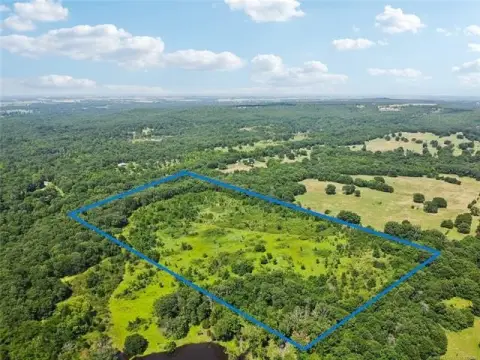
Lot Size2.10 Acres
Days on Market47
Property Features for W 75 Highway
General Information
- Property type
- Land
- Property subtype
- Other
- Zoning
- Commercial
- Standard status
- Active
- APN
- W7574437
- Lot size
- 2.10 Acres
Utilities
- Water source
- Public
Listing Agency
OK Real Estate LLC
(918) 623-0200
419 W Broadway, Okemah, OK
Listed by
April Curry · License #175032
(918) 716-8130
Added: Jun 2 Checked: Jul 18 at 3:06 am
MLS# 1228691
Listing URL
Copyright © 2026 MLSOK, Inc. All rights reserved. All information provided by the listing agent/broker is deemed reliable but is not guaranteed and should be independently verified.
Investment Insights
Based on property information with market context.
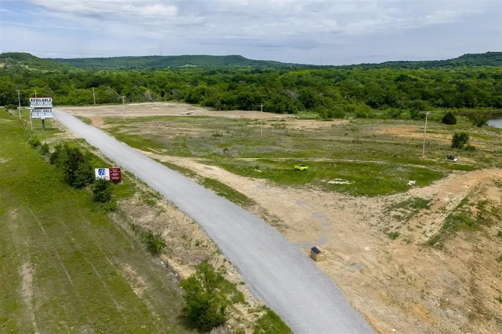
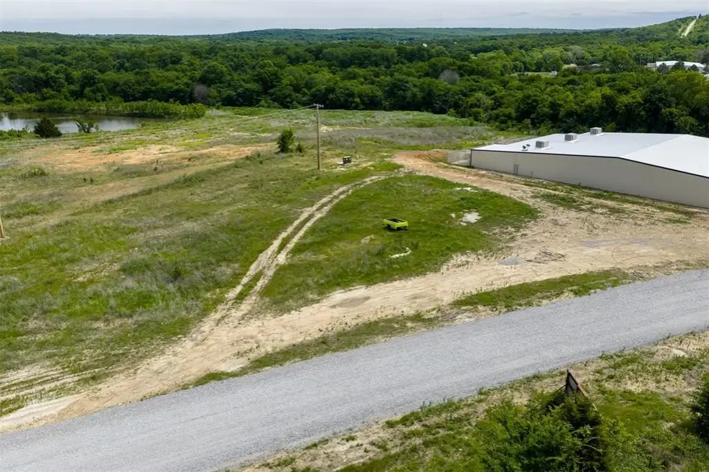
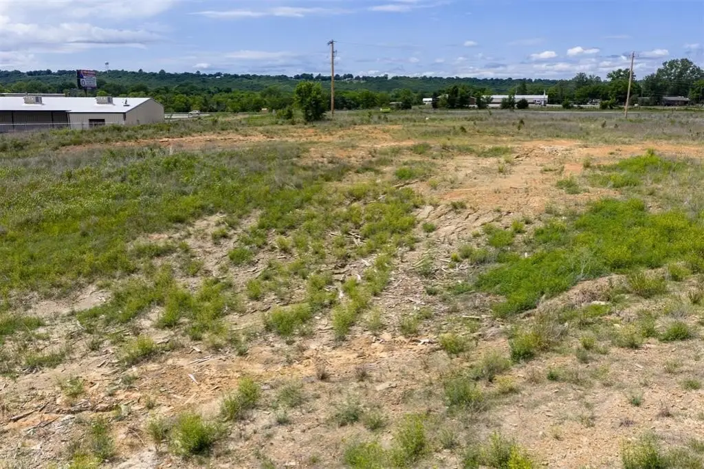
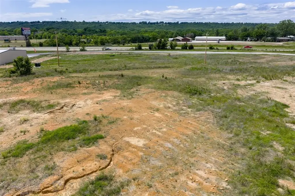
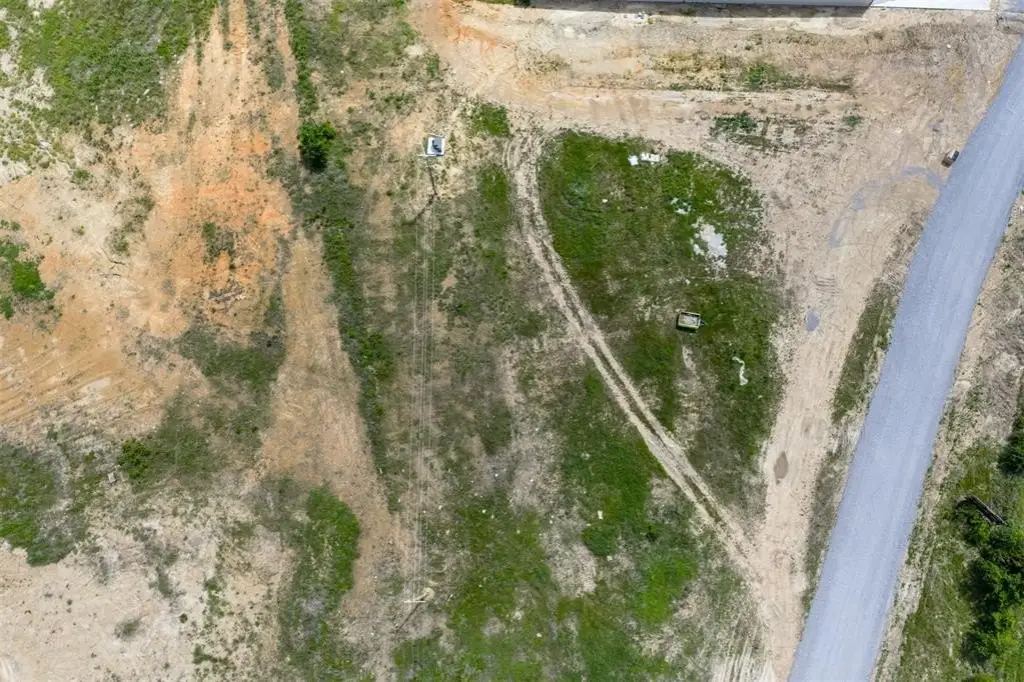
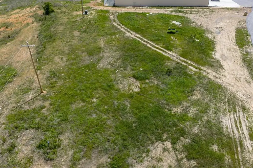
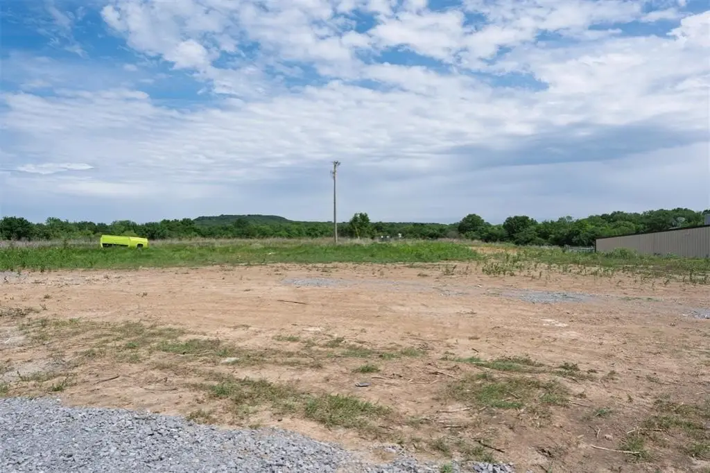
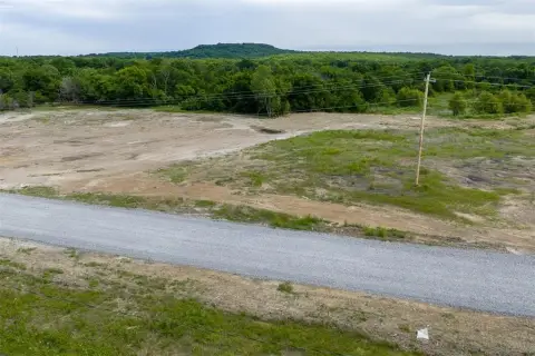
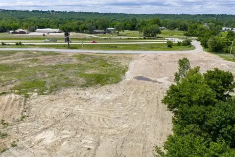
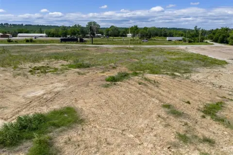
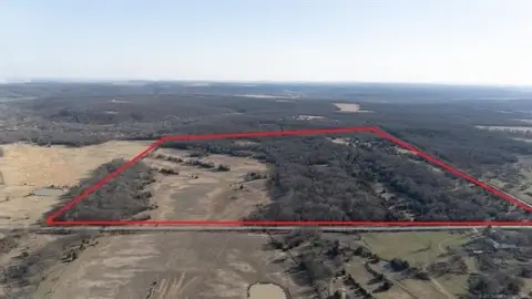
This offering is prime commercial land configured as four surveyed tracts totaling approximately 8.23 acres, with each tract being about two acres. The acreage is cleared, flat, and development-ready, giving buyers flexibility to assemble for larger projects or evaluate each tract individually. Tract 2 is listed at approximately 2.10 acres, with additional land available to support expanded development plans. Buyer to verify all information.
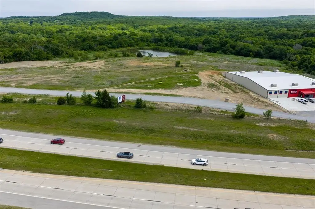
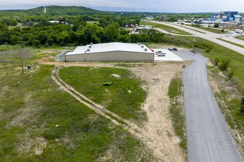
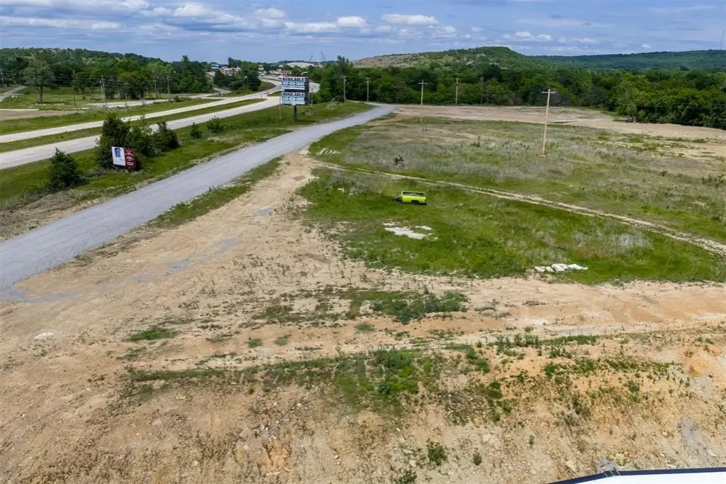
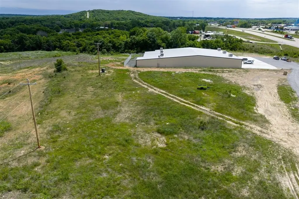
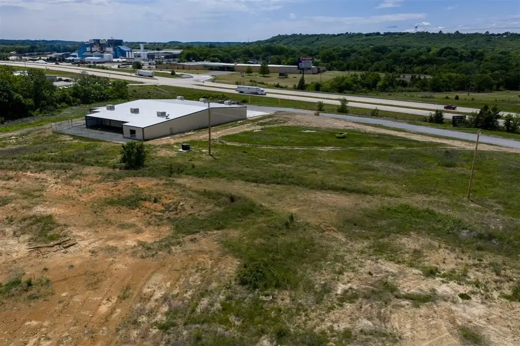
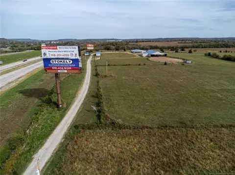
The property is positioned on Highway 75 with exceptional frontage and high traffic exposure in a rapidly developing commercial corridor. It is located near the junction of Highway 75, the Indian Nation Turnpike, and Interstate 40, and is less than one mile from Interstate 40 and the Indian Nation Turnpike. Additional nearby retail and restaurant operators include QuikTrip, Taco Bueno, Braum’s, and other established businesses, contributing to the area’s commercial momentum.
Due to its visibility, access, and development-ready condition, the site is well suited for a variety of commercial concepts, including hotels, restaurants, travel services, retail, stations, and office-oriented uses. The multi-tract structure can also support phased development or different end-user strategies, depending on how a buyer plans to grow the site.
Key Highlights
- Approximately 8.23 acres m/l commercial land made up of four surveyed tracts, each about 2 acres m/l
- Exceptional Highway 75 frontage with strong access near the junction of Highway 75, Indian Nation Turnpike, and Interstate 40
- Less than 1 mile from I‑40 and Indian Nation Turnpike; less than 1/2 mile from QuikTrip, Taco Bueno, and Braum's
Property Analytics
Location Intelligence
Current Use by Public Records
Commercial land
Similar For Sale Nearby


FAQs
What type of property is this?
Commercial land - Cleared, flat commercial acreage with strong Highway 75 visibility and flexible tract configuration for a range of developments.
Where is this commercial land located?
The property is located at W 75 Highway Henryetta, OK.
What is the asking price?
The asking price for this property is $260,000.
What are key features of this property?
This property features: Approximately 8.23 acres m/l commercial land made up of four surveyed tracts, each about 2 acres m/l; Exceptional Highway 75 frontage with strong access near the junction of Highway 75, Indian Nation Turnpike, and Interstate 40; Less than 1 mile from I‑40 and Indian Nation Turnpike; less than 1/2 mile from QuikTrip, Taco Bueno, and Braum's


