Unrestricted Agricultural
For Sale
$4,200,000
Vilas Road lot 20, Holland, TX 76534
Land, Holland, TX
Property SizeContact for details
Lot Size347.01 Acres
Days on Market338
Property Features for Vilas Road lot 20
General Information
Property type
Land
Property subtype
Other
Zoning description
Outside of city
Vegetation
Wooded
Subdivision
Lake Pointe Ph Ii-A1
Lot features
Flood Zone, Horse Property, Mature Trees, Outside City Limits, Secluded, Acreage
Elementary school district
Holland ISD
Middle school district
Holland ISD
High school district
Holland ISD
Directions
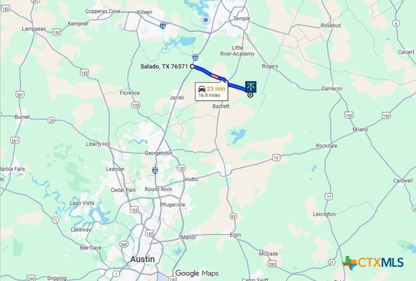
Directions: From Temple, take E. Adams Ave. and turn right onto Martin Luther King Jr. Dr. Continue approximately 2.7 miles, then merge left onto US-190 E/SE H.K. Dodgen Loop. Follow US-190 E for about 11 miles. Turn right onto FM 437 S and continue 6.8 miles. Turn right onto FM 2268 W, then go 2.9 miles. Turn left onto Vilas Rd. Property entrance will be on the left.
Standard status
Active
APN
45238, 364719, 364720, 93331, 93341, 418362
Lot size
347.01 Acres
Taxes and HOA fees
Tax Year
2025
Tax Description
A0008BC M DAVILA, 46, ACRES 110.04 A0008BC M DAVILA, ACRES 1.47 A0008BC M DAVILA, ACRES 0.18 A0008BC M DAVILA, 51, ACRES 99.5 A0008BC M DAVILA, 50, ACRES 65.000 A0008BC M DAVILA, 51, ACRES 69.25
Tax Annual Amount
514
Legal Description
A0008BC M DAVILA, 46, ACRES 110.04 A0008BC M DAVILA, ACRES 1.47 A0008BC M DAVILA, ACRES 0.18 A0008BC M DAVILA, 51, ACRES 99.5 A0008BC M DAVILA, 50, ACRES 65.000 A0008BC M DAVILA, 51, ACRES 69.25
Utilities
Sewer type
Septic Needed
Water source
Private, Well
Water front
1
Listing Agency:
Benchmark Real Estate
(254) 800-5000
Listed By:
Damon Gottschalk · License #0656896
(254) 493-2623
Added: Nov 4, 2025
Changed: Oct 2
Last Checked: Oct 8 at 9:06AM
MLS# 597060
Copyright © 2026 Central Texas Multiple Listing Service. All rights reserved. All information provided by the listing agent/broker is deemed reliable but is not guaranteed and should be independently verified.
Investment Insights
Based on property information with market context.
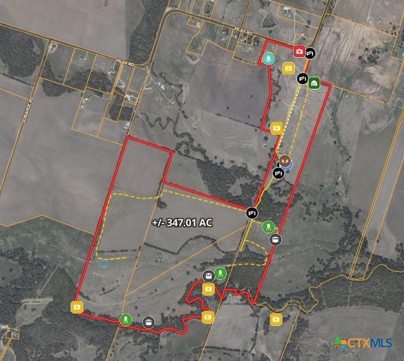
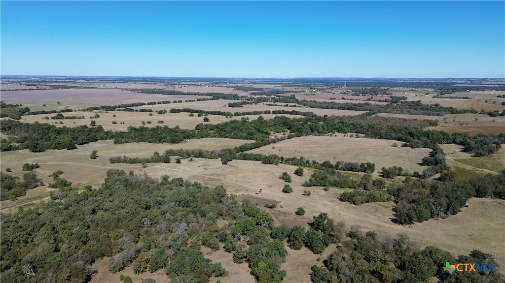
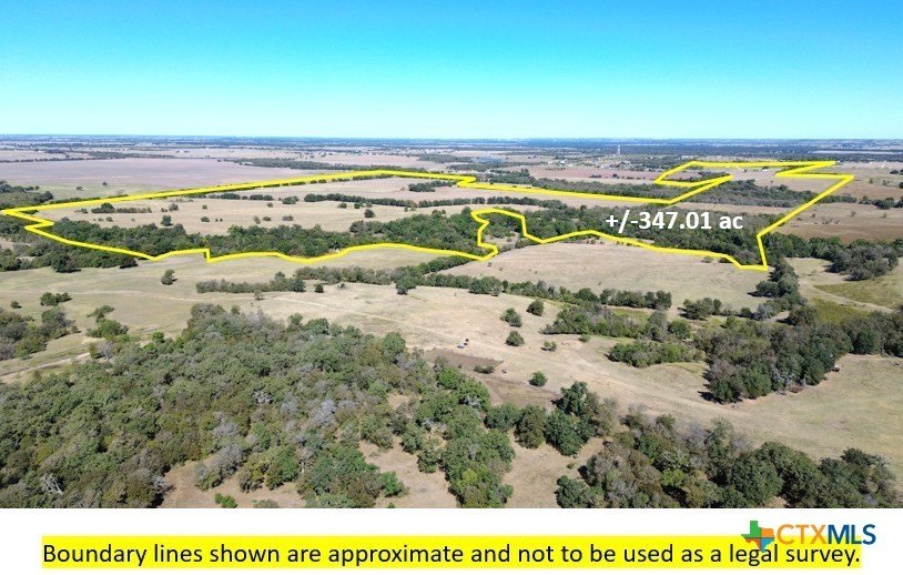
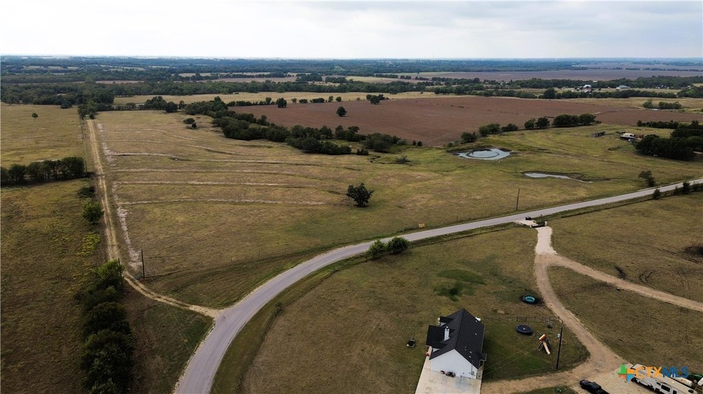
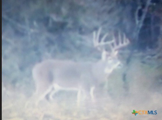
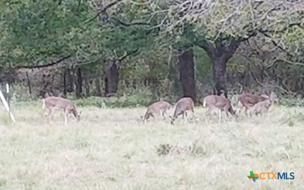
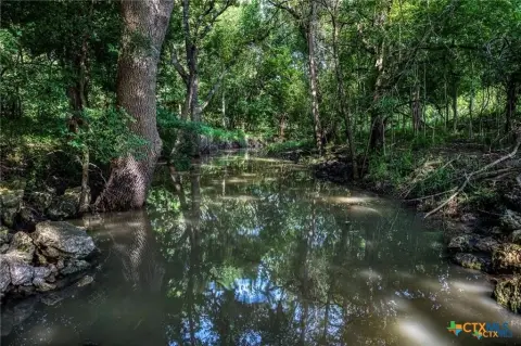
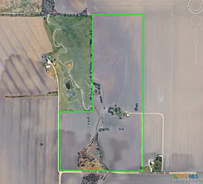
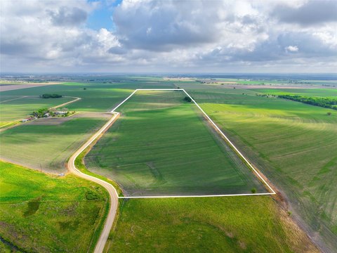
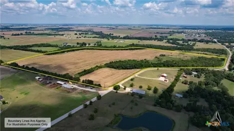
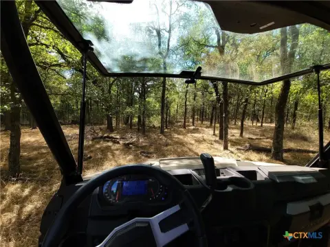
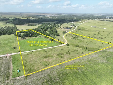
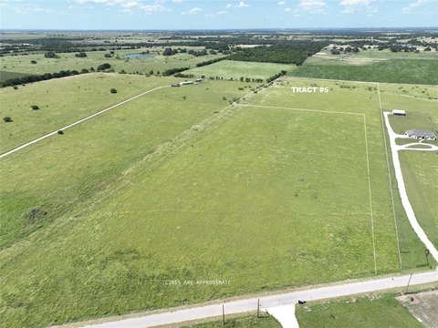
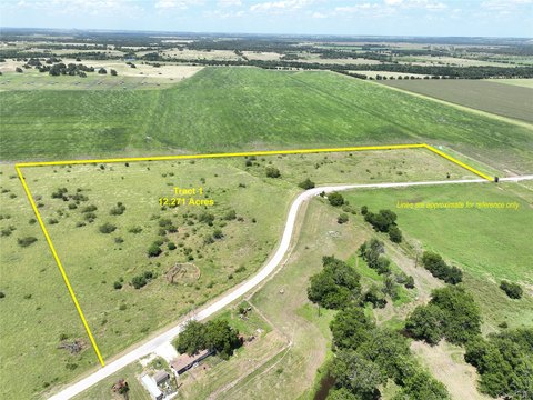
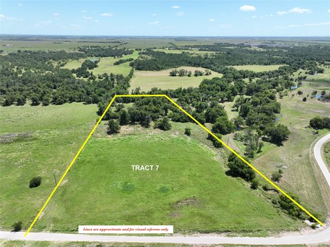
This 347.01-acre tract on Vilas Road in Holland, Texas, includes coastal pastures, mature hardwood stands, and an interconnected creek system. Donahoe Creek follows the southern boundary, while Flag Branch crosses the property before joining Donahoe Creek and continuing toward the Little River. The land is identified as unrestricted, supporting potential agricultural, recreational, residential, and ranch uses.
The property is in Bell County, approximately 25 miles southeast of Temple and Belton and about 60 miles from Austin. Water sources include a private well, while septic installation is needed. The combination of open pasture, wooded areas, and surface water creates a varied rural setting for agricultural operations, recreation, or a private homesite.
The property is in Bell County, approximately 25 miles southeast of Temple and Belton and about 60 miles from Austin. Water sources include a private well, while septic installation is needed. The combination of open pasture, wooded areas, and surface water creates a varied rural setting for agricultural operations, recreation, or a private homesite.
Key Highlights
- 347.01 acres of agricultural land in Holland, Bell County
- Unrestricted property with agricultural, recreational, residential, and ranch use potential
- Donahoe Creek forms the southern boundary
Property Analytics
Current Use
Location Intelligence
Trade Area within ½ mile
Explore this area
Business Placement
Demographics for 76534, TX
2,659
Population
1,197
Households
2.2
Avg Household Size
43
Median Age
24%
College-Educated
85%
High-School Grad
87.6 sq mi
ZIP Area
30
Density / Sq Mi
$81,000
Median Household Income
$52,574
Median Earnings
$1,039
Median Rent
$208,000
Median Home Value

Questions? Ask Rey
Realmo’s AI knows this listing — price, zoning, demand, history. Ask anything.


Frequently Asked Questions
What type of property is this?
Agricultural land / Farmland - Unrestricted acreage combines coastal pasture, mature hardwoods, and creek frontage in Bell County.
Where is this agricultural land / farmland located?
The property is located at Vilas Road lot 20 Holland, TX.
What is the asking price?
The asking price for this property is $4,200,000.
What are key features of this property?
This property features: 347.01 acres of agricultural land in Holland, Bell County; Unrestricted property with agricultural, recreational, residential, and ranch use potential; Donahoe Creek forms the southern boundary



