B-2 Zoned Commercial
For Sale
$130,000
Parcel C Old 27 N Highway, Vanderbilt, MI 49795
Commercial Sale, Vanderbilt, MI
Property SizeContact for details
Lot Size29.70 Acres
Days on Market139
Property Features for Parcel C Old 27 N Highway
General Information
Property type
Commercial Sale
Property subtype
Other
Zoning
B-2
Subdivision
T32N - R3W
Directions
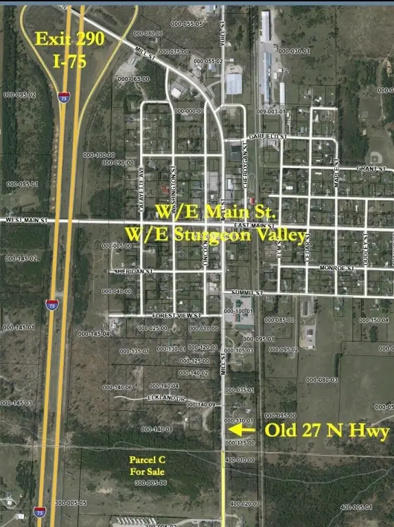
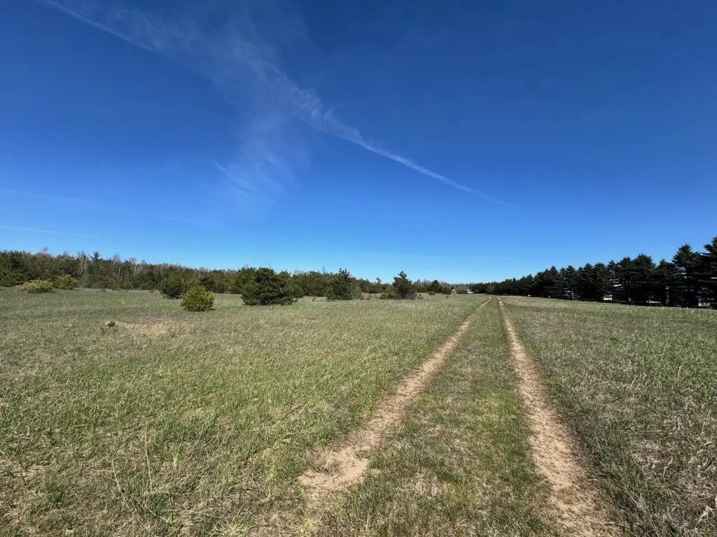
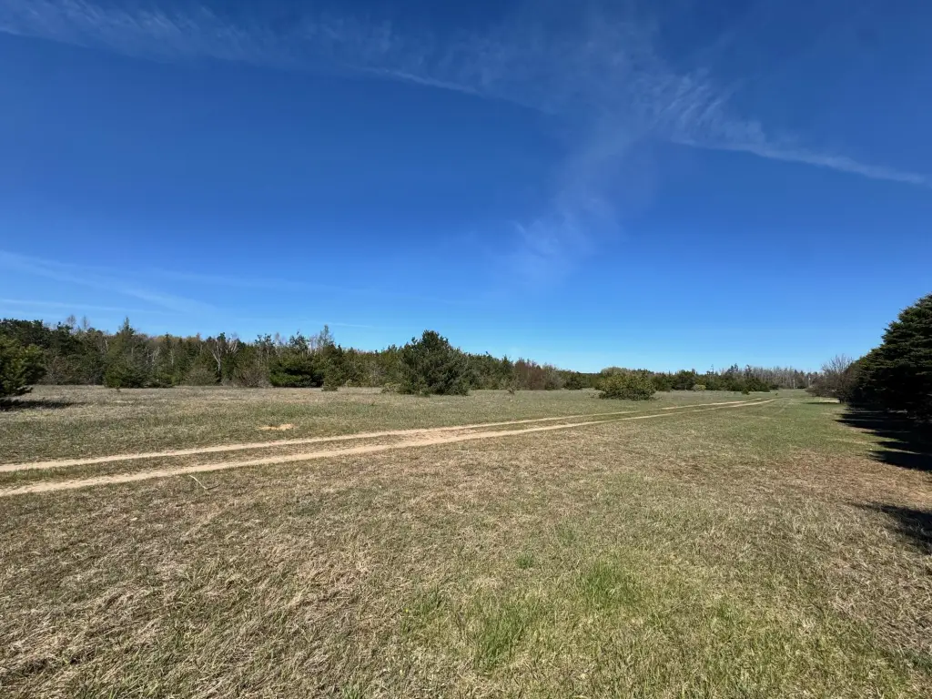
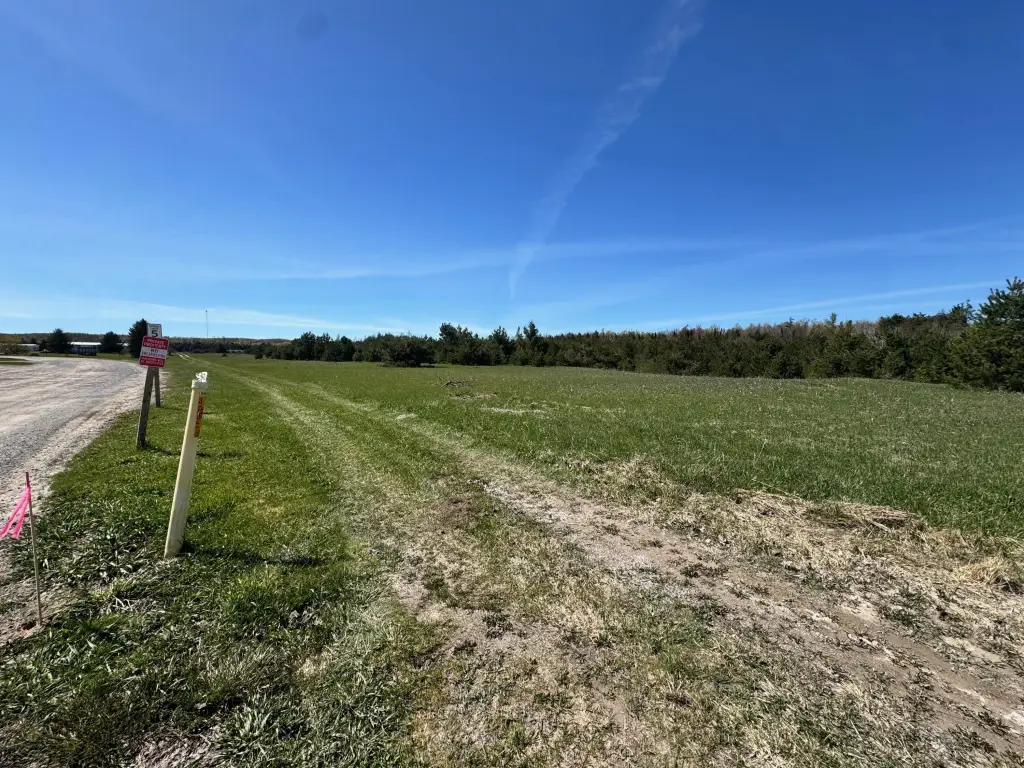
I-75 to Vanderbilt Exit 290 Exit. Go south on Old 27 Hwy 1.2 miles. 2-Track is at SE corner of property adjacent-north of Sunset Estates Mobile Home Park. Alternate route: Gaylord Main St. to N. Center Ave./Old 27 Hwy for 7.6 miles. 2-Track is at SW corner of property adjacent-north of Sunset Estates Mobile Home Park.
Standard status
Active
APN
042-027-300-005-06
Lot size
29.70 Acres
Taxes and HOA fees
Tax Description
Parcel C, com @ S 1/4 Cor, N00o03'24''W, 1849.2' alg N/S 1/4 Line to POB, N88o13'32''W, 1678.24', N03o22'07''E, 783.21', S88o9'06''E, 1631.49' Alg E/W 1/4 Line to Center 1/4 Cor, S00o3'24''E, 781.2' Alg N/S 1/4 Line to POB, Sec 27, T32N-R3W.
Tax Annual Amount
689
Legal Description
Parcel C, com @ S 1/4 Cor, N00o03'24''W, 1849.2' alg N/S 1/4 Line to POB, N88o13'32''W, 1678.24', N03o22'07''E, 783.21', S88o9'06''E, 1631.49' Alg E/W 1/4 Line to Center 1/4 Cor, S00o3'24''E, 781.2' Alg N/S 1/4 Line to POB, Sec 27, T32N-R3W.
Listing Agency:
COLDWELL BANKER SCHMIDT GAYLORD
(989) 732-6777
Listed By:
Michael E. Heath
(989) 619-0400
Added: May 21
Changed: Sep 16
Last Checked: Oct 6 at 4:06AM
MLS# 201840231
Copyright © 2026 Water Wonderland Board of Realtors®. All rights reserved. All information provided by the listing agent/broker is deemed reliable but is not guaranteed and should be independently verified.
Investment Insights
Based on property information with market context.
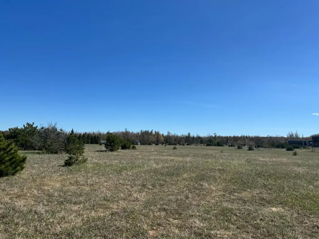
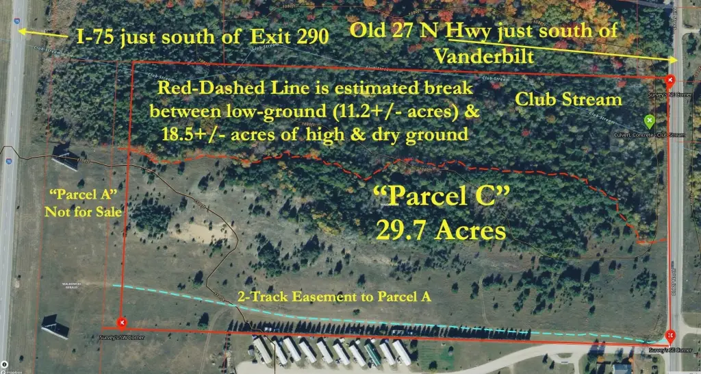
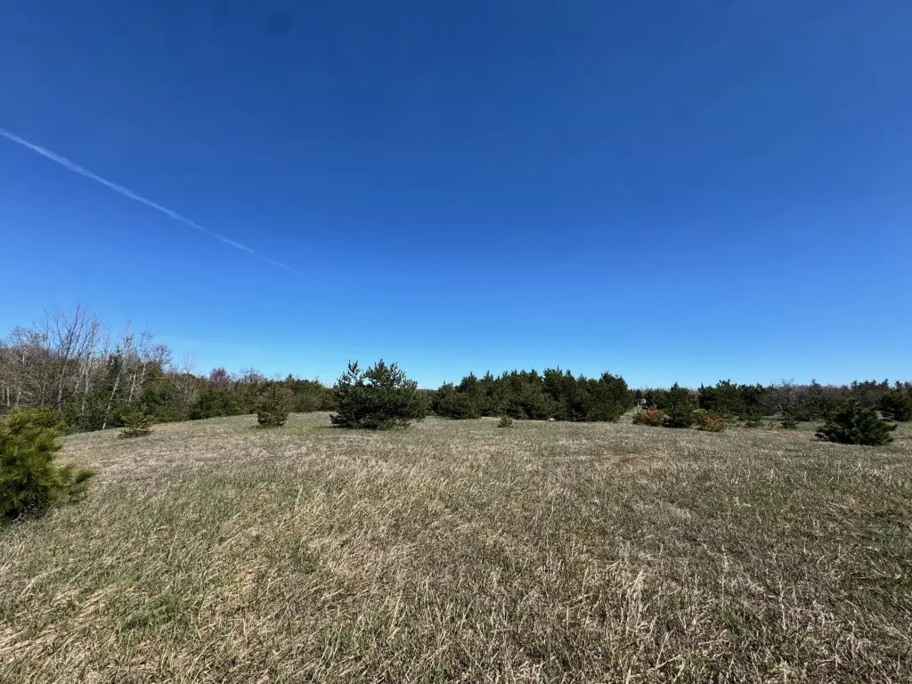
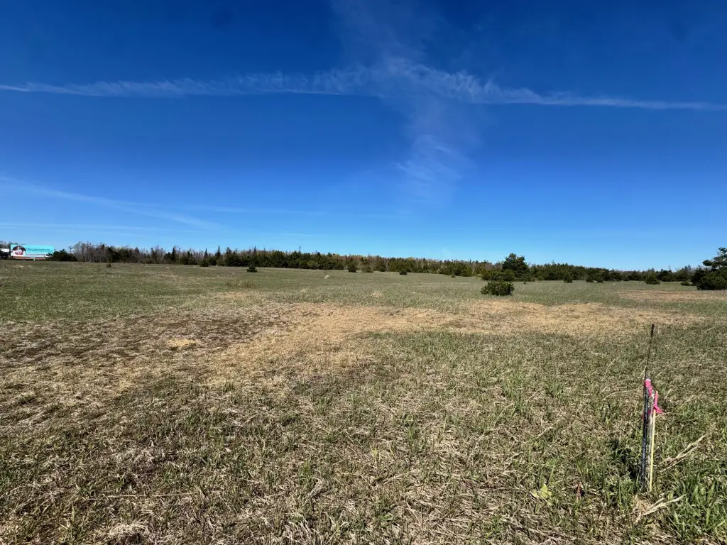
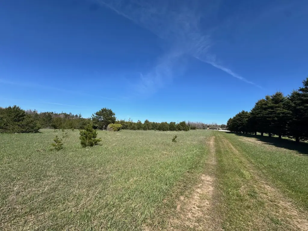
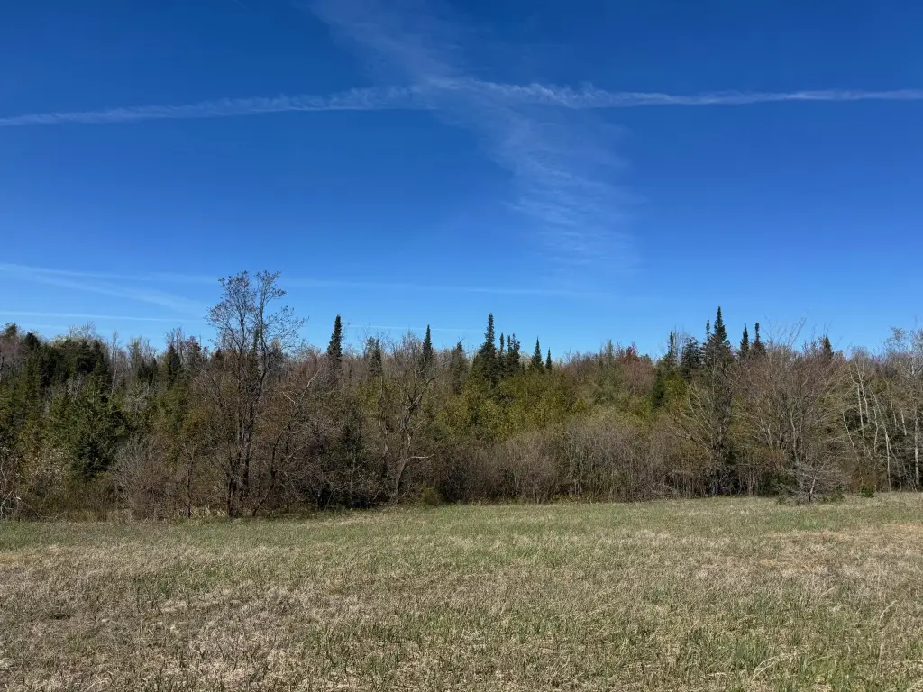
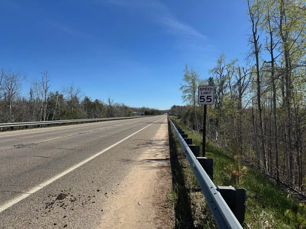
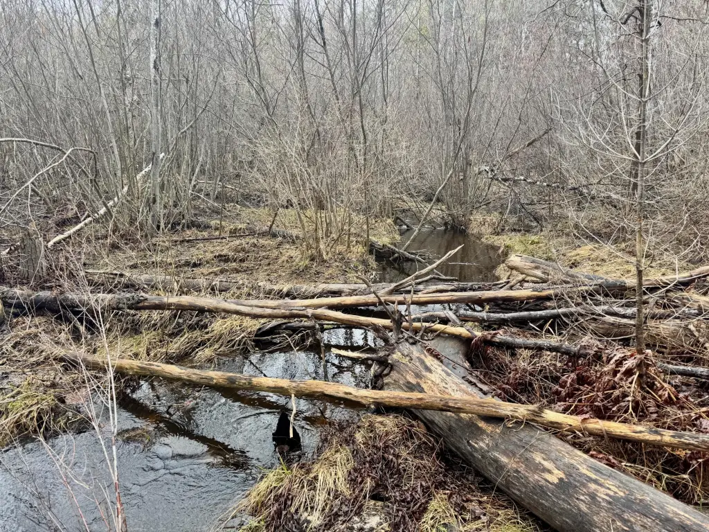
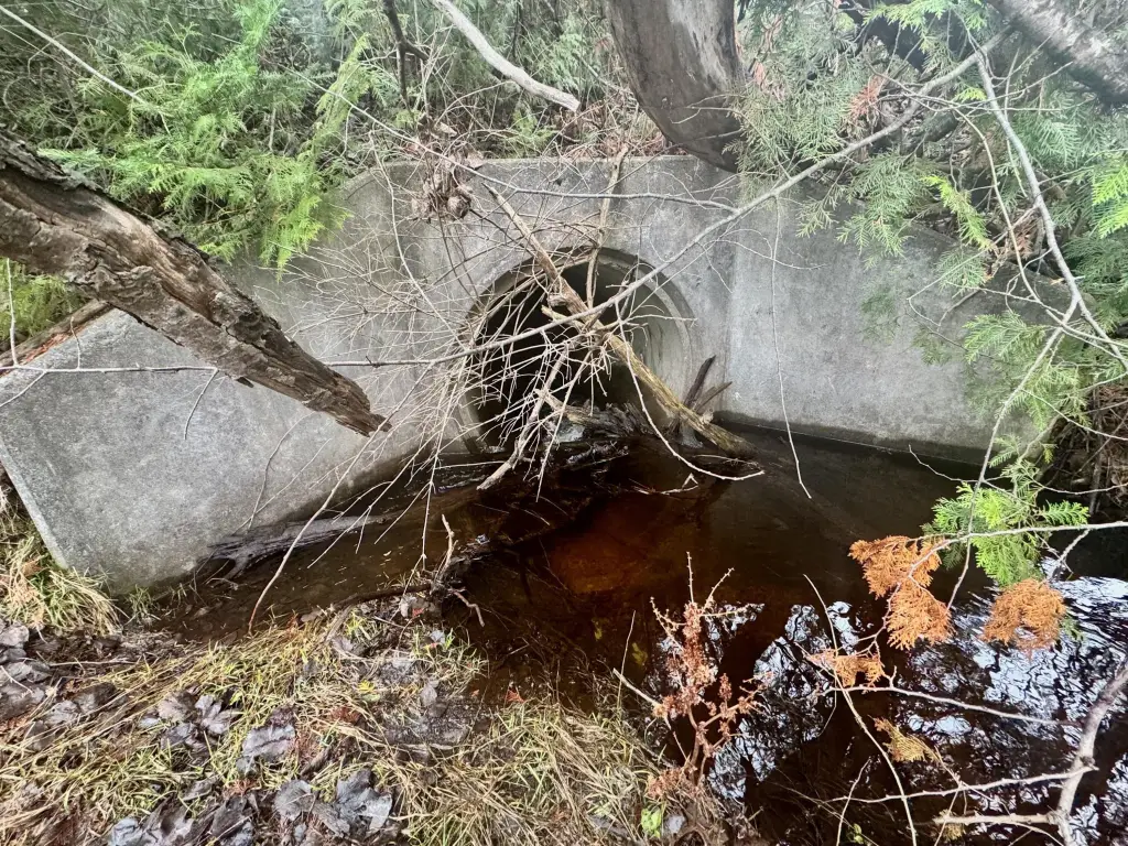
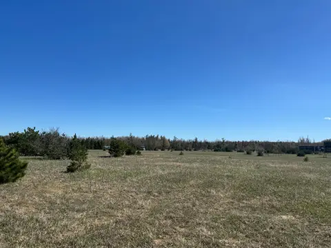
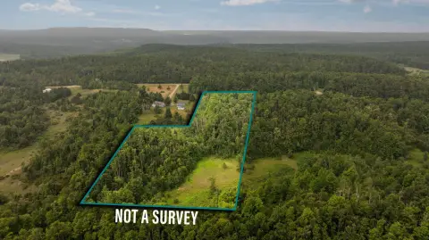
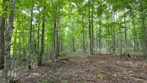
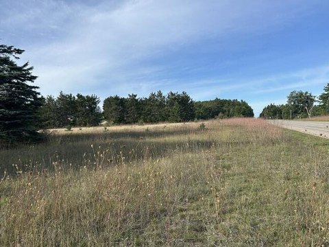
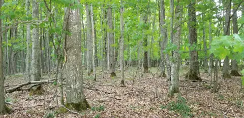
This 29.7-acre commercial land parcel carries B-2 zoning and fronts Old 27 N Highway in the Vanderbilt area. The tract includes approximately 18.5 acres of flat, high ground and 11.2 acres of low ground, with Club Stream crossing the property from west to east.
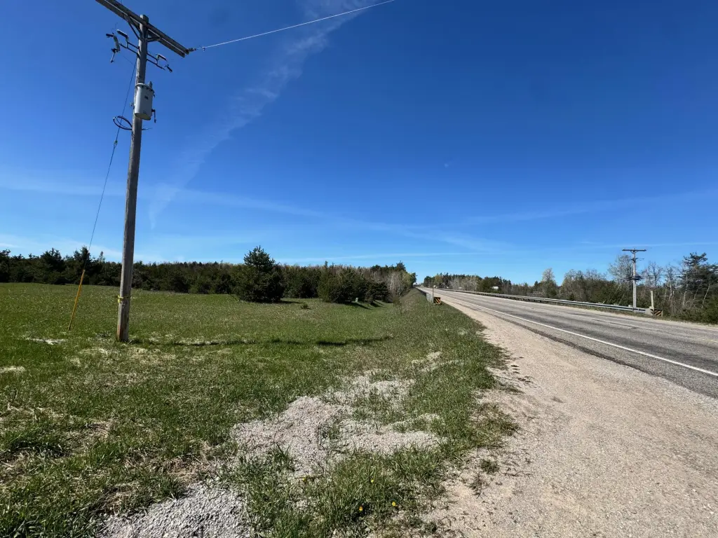
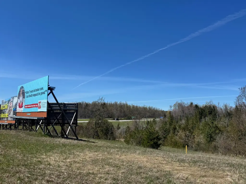
The parcel lies 1.2 miles along Old 27 Highway from I-75 Exit 290. MDOT 2024 traffic counts report 3,919 vehicles per day on Old 27 and 16,520 vehicles per day on I-75. Natural gas is located at the southeast corner, while Consumers electricity is adjacent. An easement along the existing two-track is to be granted to the sellers’ adjacent-west Parcel A and their billboard lessee. Offers must reference the legal description and easement grant, with both documents included as exhibits.
The parcel lies 1.2 miles along Old 27 Highway from I-75 Exit 290. MDOT 2024 traffic counts report 3,919 vehicles per day on Old 27 and 16,520 vehicles per day on I-75. Natural gas is located at the southeast corner, while Consumers electricity is adjacent. An easement along the existing two-track is to be granted to the sellers’ adjacent-west Parcel A and their billboard lessee. Offers must reference the legal description and easement grant, with both documents included as exhibits.
Key Highlights
- 29.7 acres of B‑2 zoned commercial land
- 18.5+/- acres of flat, high ground and 11.2+/- acres of low ground
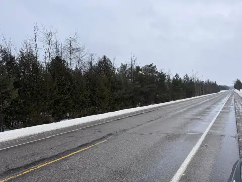
- Frontage on Old 27 N Highway, 1.2 miles from I‑75 Exit 290
Property Analytics
Unlock full access to Insights
Subscribe to Realmo Intelligence
Open Analytics
Current Use
Lease Details
16,520 VPD
Traffic count
Yes
Highway access
Yes
Paved road access
Yes
Utilities to site
Location Intelligence
Trade Area within ½ mile
36
Businesses Nearby
Explore this area
Business Placement
Demographics for 49795, MI
2,087
Population
1,197
Households
1.7
Avg Household Size
46
Median Age
13%
College-Educated
86%
High-School Grad
133.9 sq mi
ZIP Area
16
Density / Sq Mi
$57,367
Median Household Income
$37,589
Median Earnings
$918
Median Rent
$162,700
Median Home Value
Check the figures for this property
Cap Rate, Value Estimation, Potential NOI and more
View Realmo Analytics

Questions? Ask Rey
Realmo’s AI knows this listing — price, zoning, demand, history. Ask anything.




Frequently Asked Questions
What type of property is this?
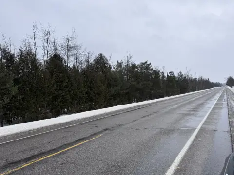
Commercial land - Commercial land with highway frontage, nearby interstate access, and utility infrastructure at the site perimeter.
Where is this commercial land located?
The property is located at Parcel C Old 27 N Highway Vanderbilt, MI.
What is the asking price?
The asking price for this property is $130,000.
What are key features of this property?
This property features: 29.7 acres of B‑2 zoned commercial land; 18.5+/- acres of flat, high ground and 11.2+/- acres of low ground; Frontage on Old 27 N Highway, 1.2 miles from I‑75 Exit 290


