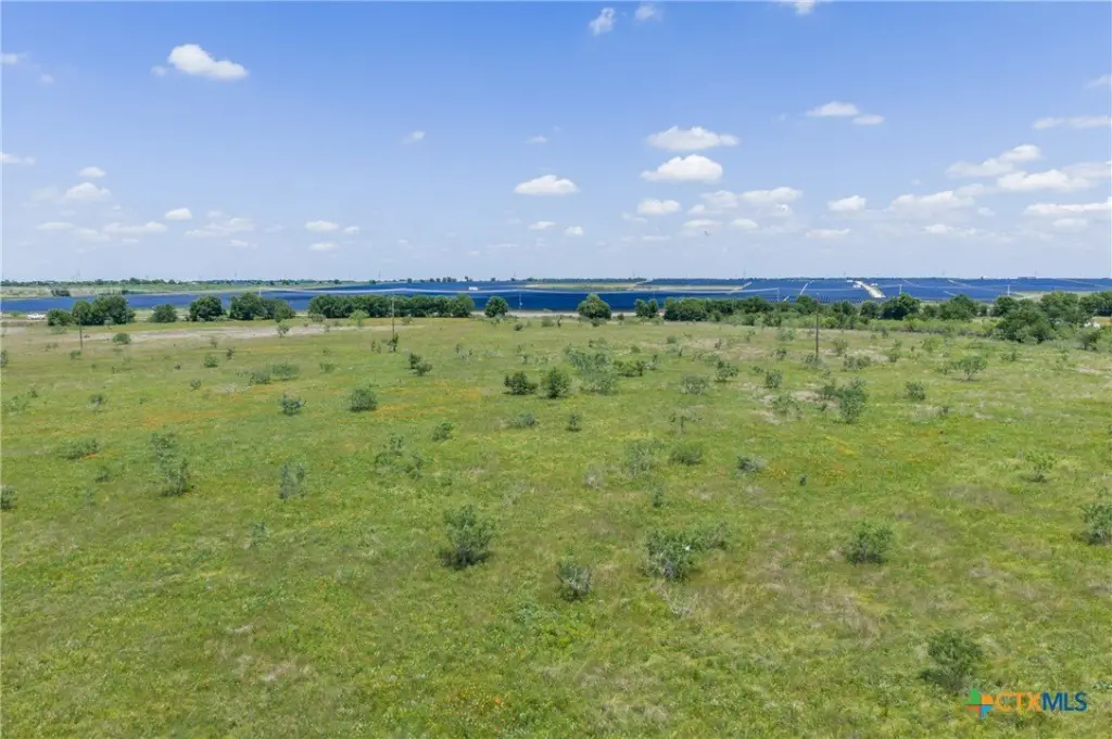
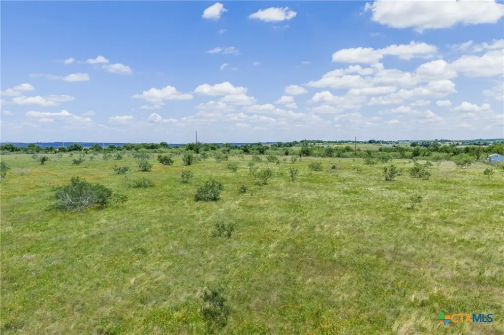
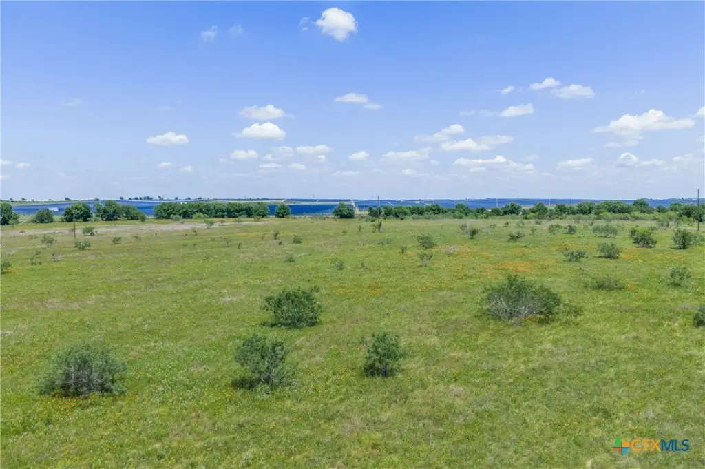
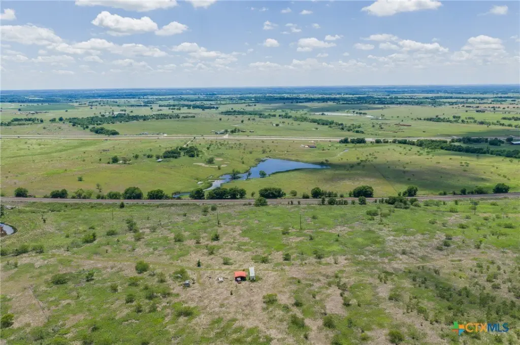
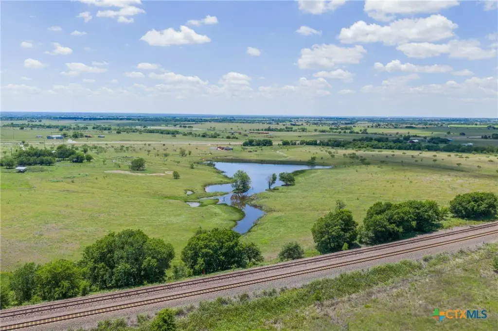
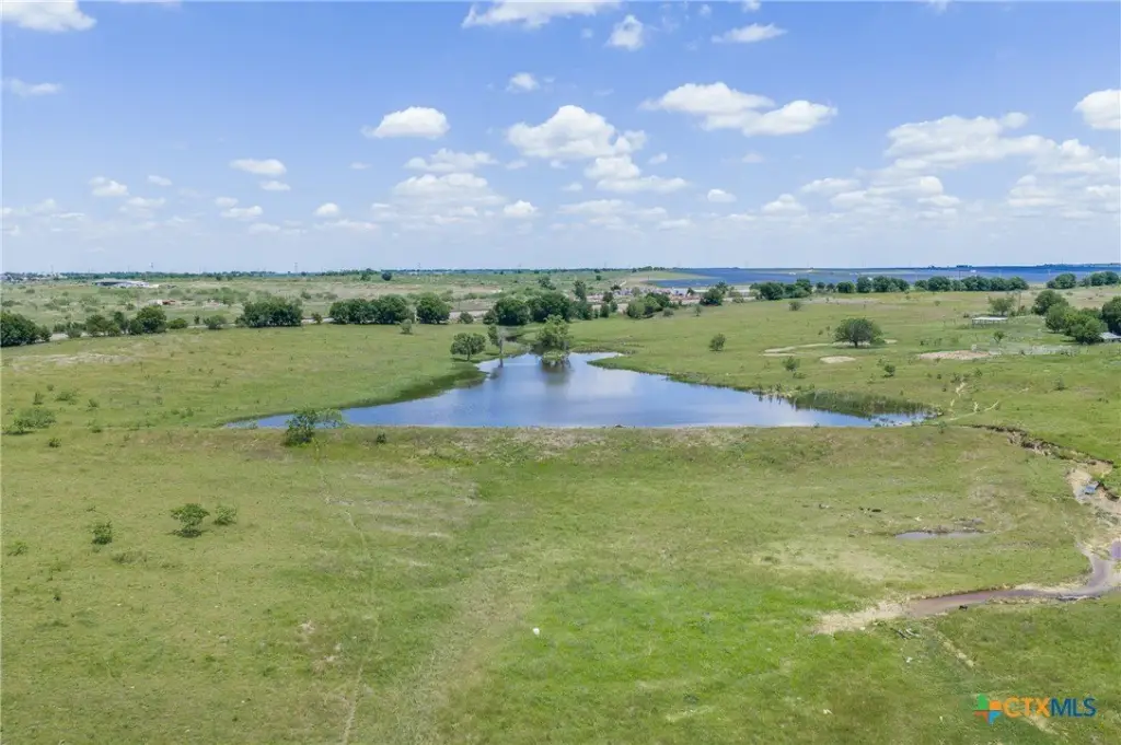
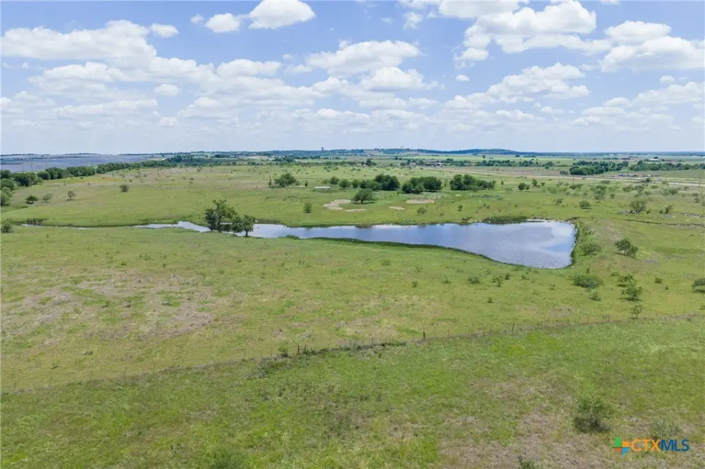
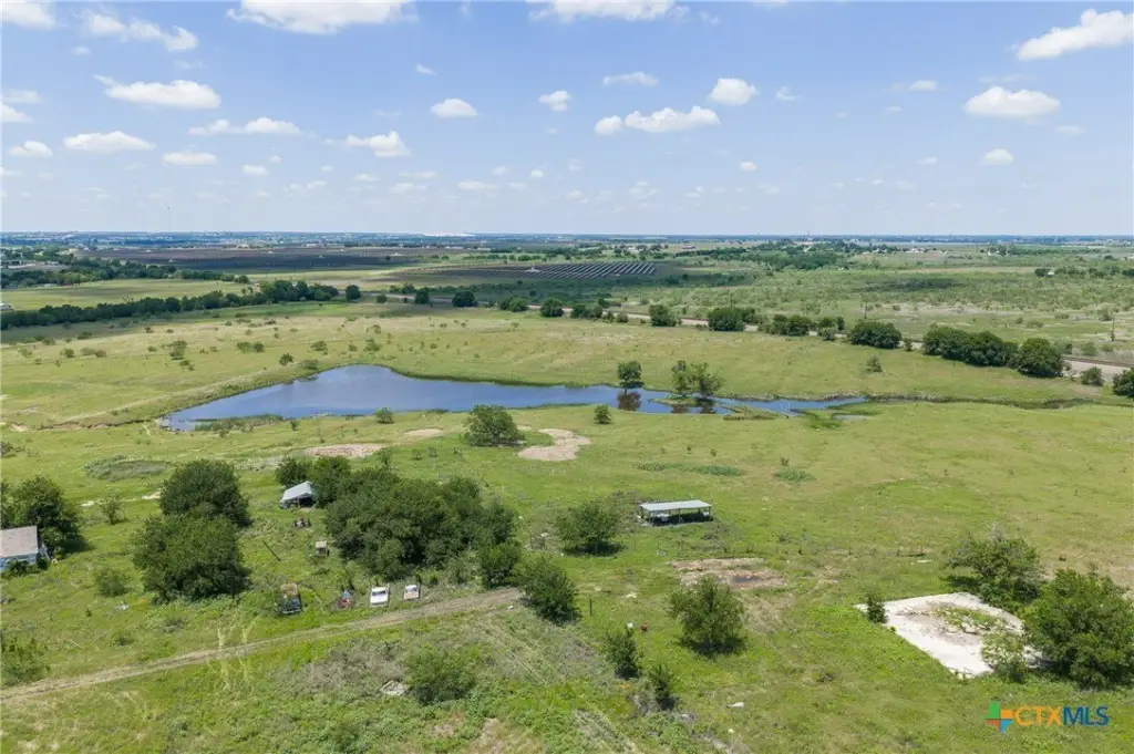
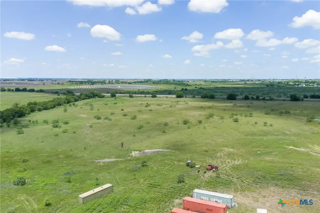
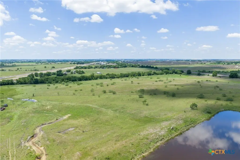
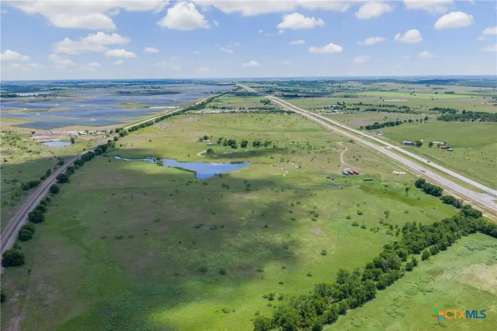
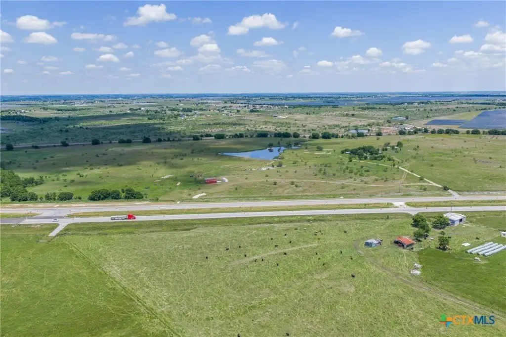
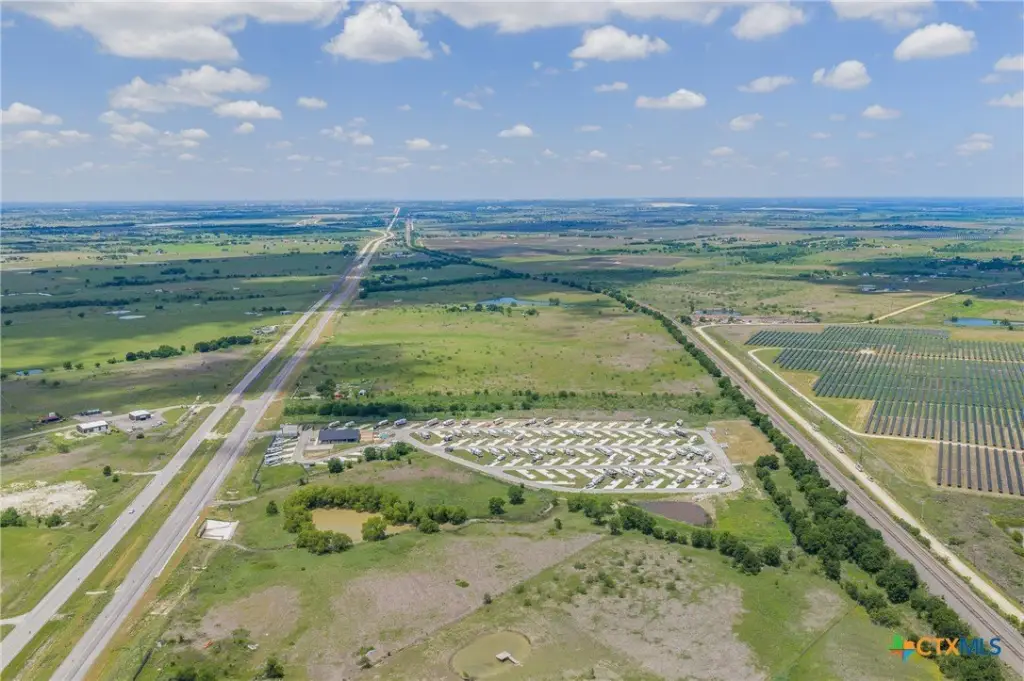
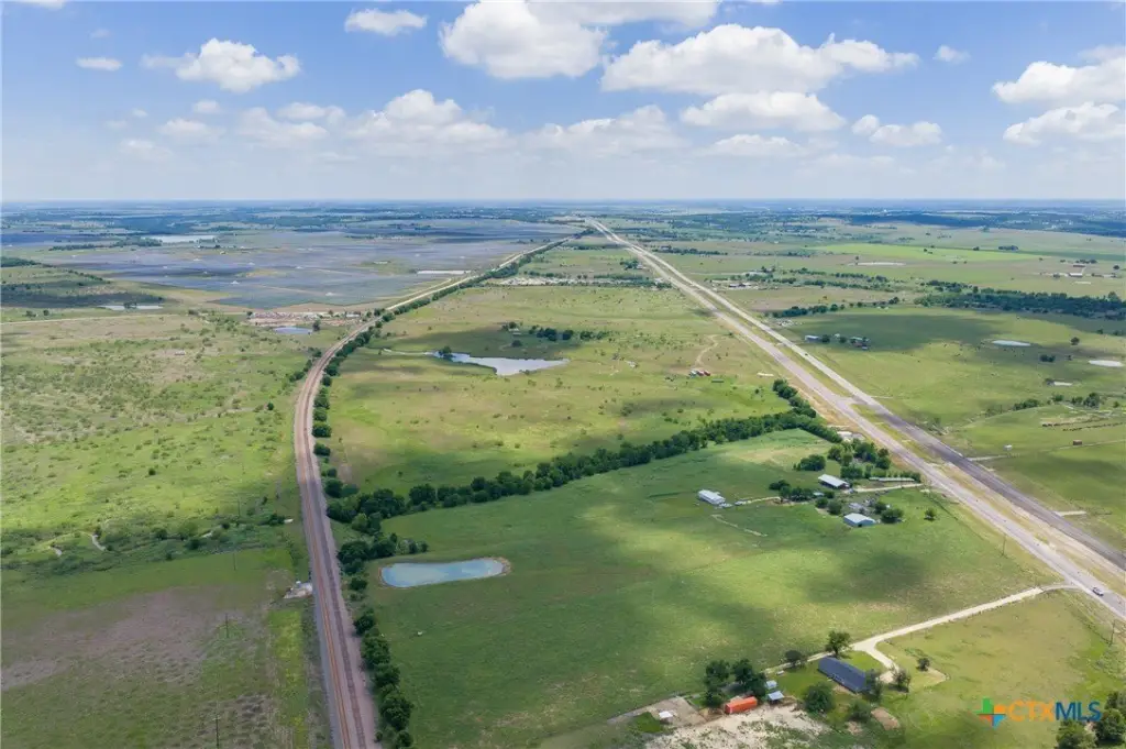
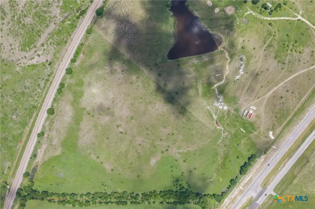
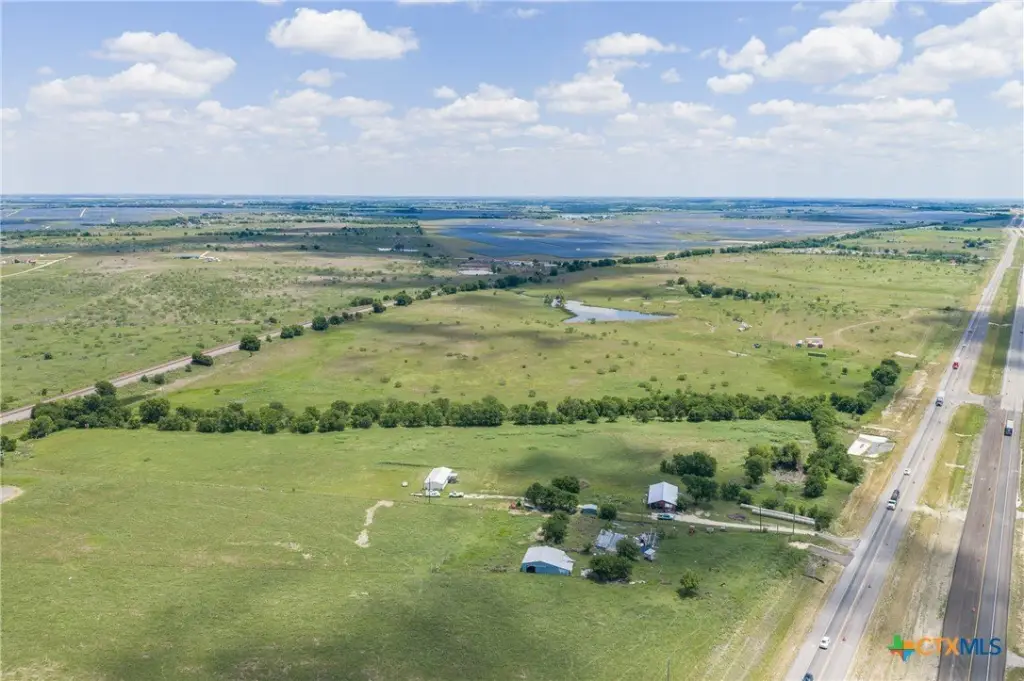
Commercial Land with Highway
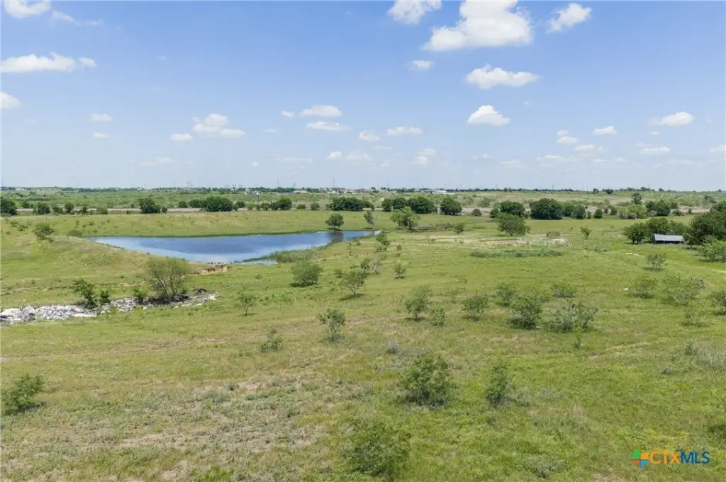
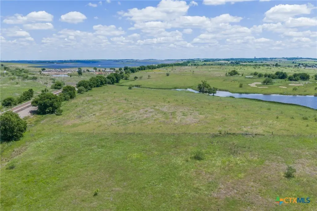
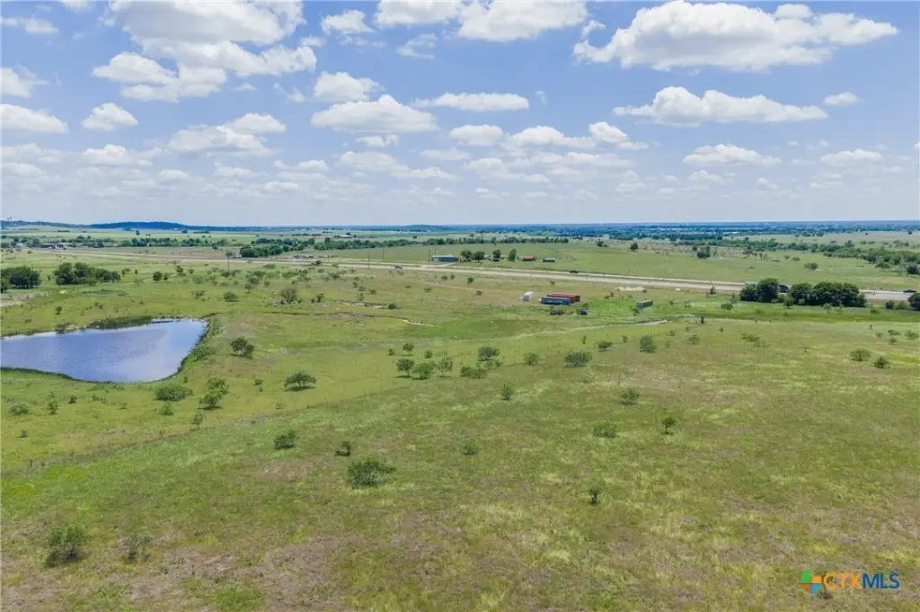
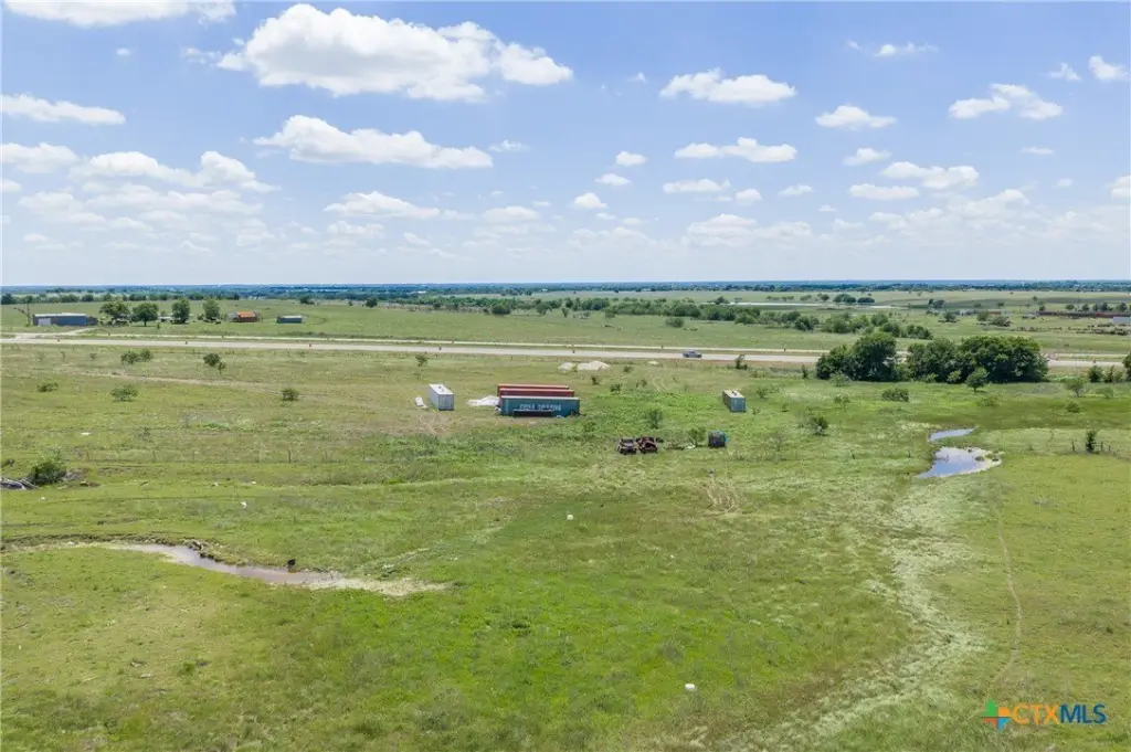
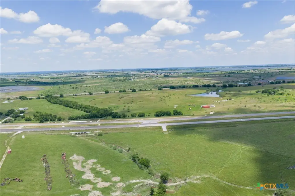
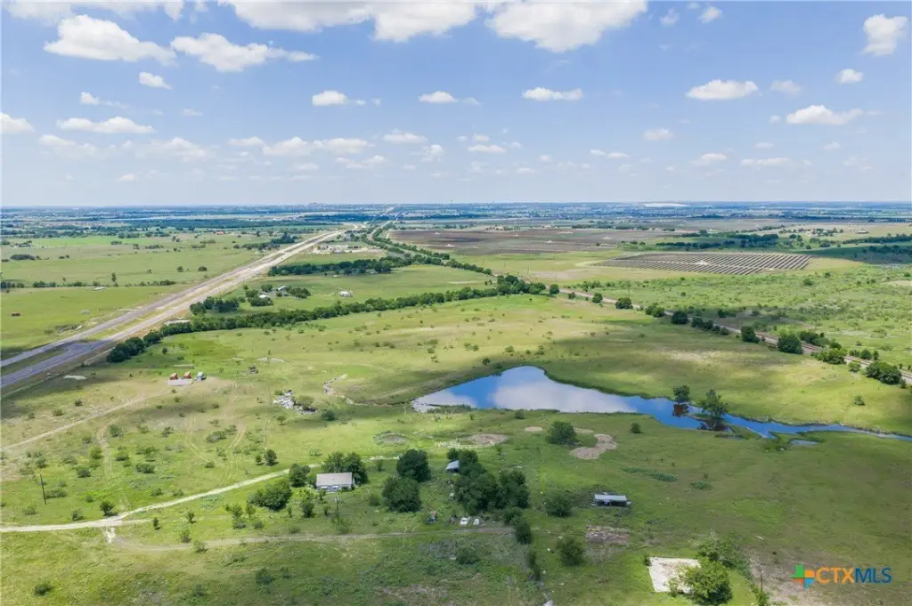
For Sale
Under Contract
$269,000
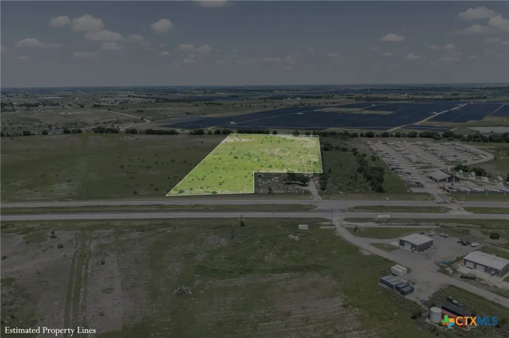
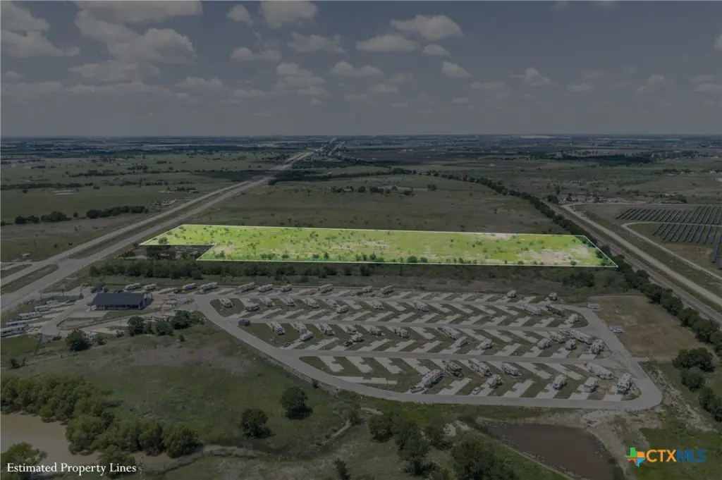
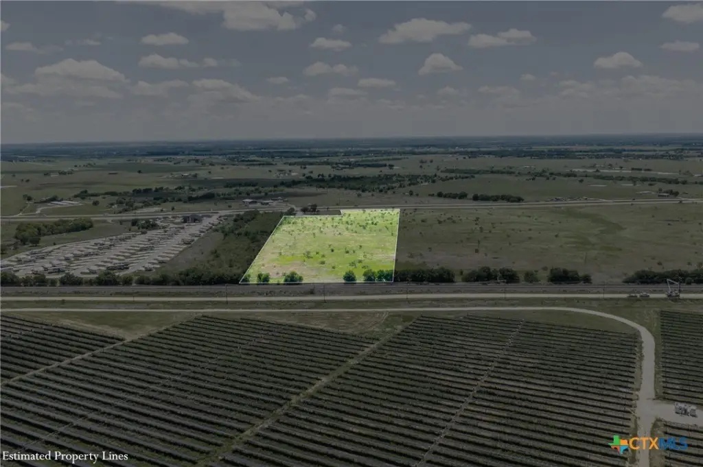
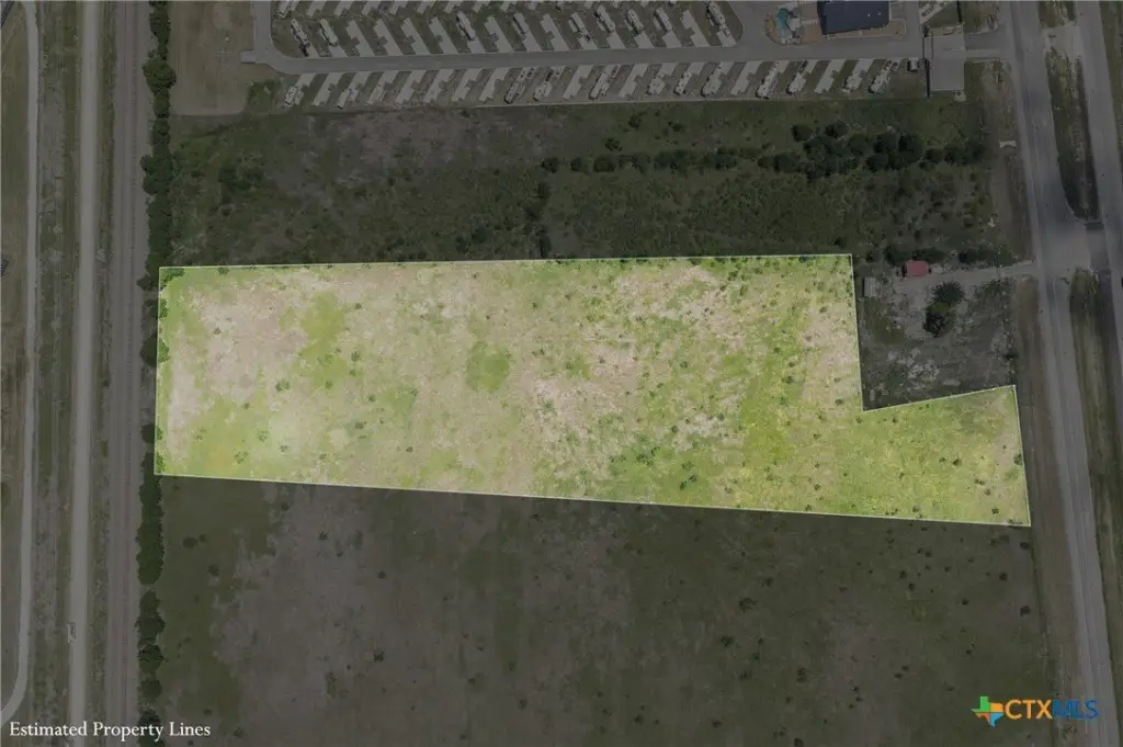
HWY 36 lot 1, Rogers, TX 76569
Land, Rogers, TX
Property SizeContact for details
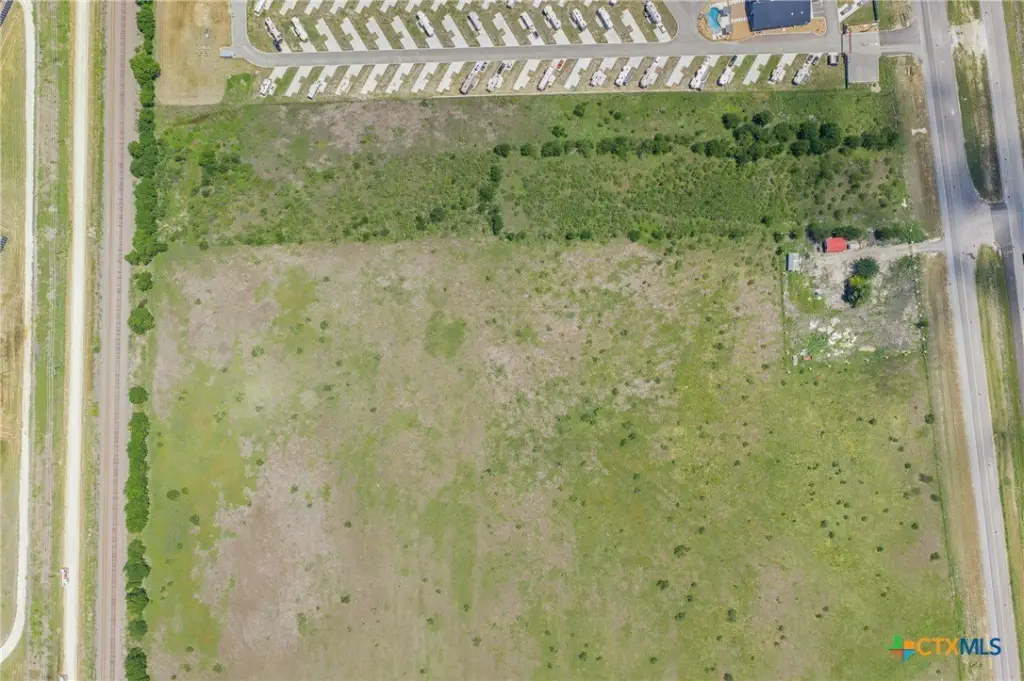
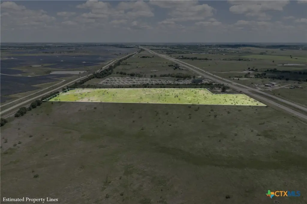
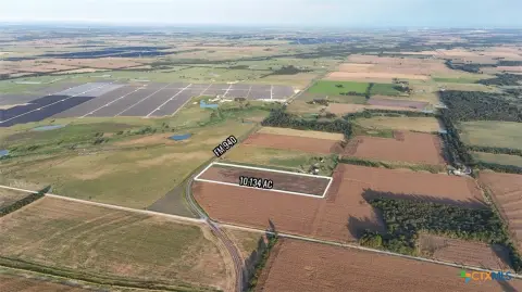
Lot Size10.00 Acres
Days on Market154
Property Features for HWY 36 lot 1
General Information
Property type
Land
Property subtype
Other
Lot features
Ten To Twenty Acres, Five To Ten Acres, Outside City Limits, Acreage
Elementary school
Rogers Elementary School
Middle school
Rogers Middle School
High school
Rogers High School
Elementary school district
Rogers ISD
Middle school district
Rogers ISD
High school district
Rogers ISD
Directions
From Temple, Texas, take US-190 East and exit onto TX-36 toward Rogers, Texas. Continue on TX-36 for several miles. Property will be located along Hwy 36.
Standard status
Active Under Contract
APN
TBD1outof63921
Lot size
10.00 Acres
Taxes and HOA fees
Tax Year
2025
Tax Description
10 acres out of A0014 Bc M Moreno, 542, (Enhanced Life Estate), Acres 107.681
Legal Description
10 acres out of A0014 Bc M Moreno, 542, (Enhanced Life Estate), Acres 107.681
Listing Agency:
Land Unlimited
(512) 729-7139
Listed By:
Maemie Williams · License #0755316
(512) 787-3433
Added: May 18
Changed: Aug 20
Last Checked: Oct 18 at 12:06AM
MLS# 613078
Copyright © 2026 Central Texas Multiple Listing Service. All rights reserved. All information provided by the listing agent/broker is deemed reliable but is not guaranteed and should be independently verified.

Ask AI about this property
Review the available facts, identify missing information and prepare questions for the agent.
Investment Insights
Based on property information with market context.
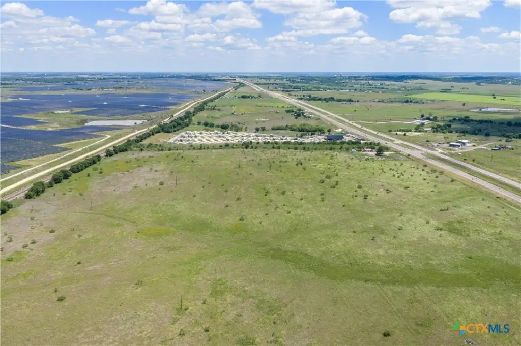
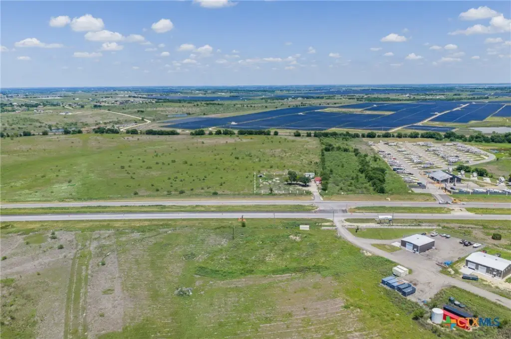
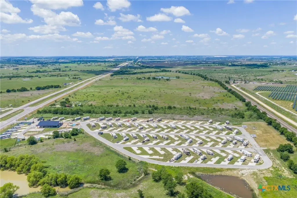
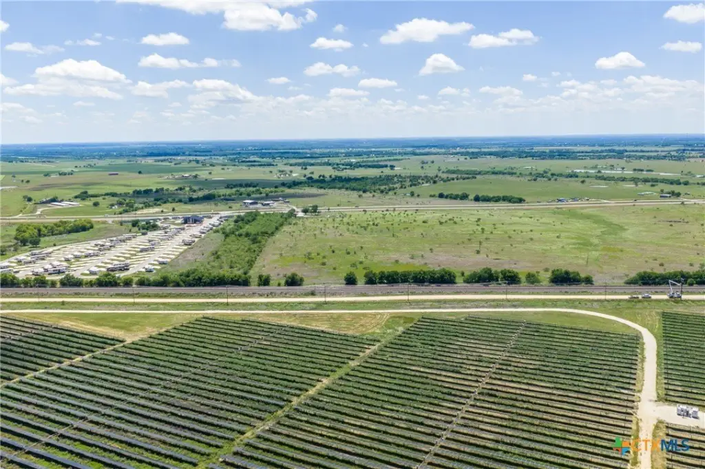
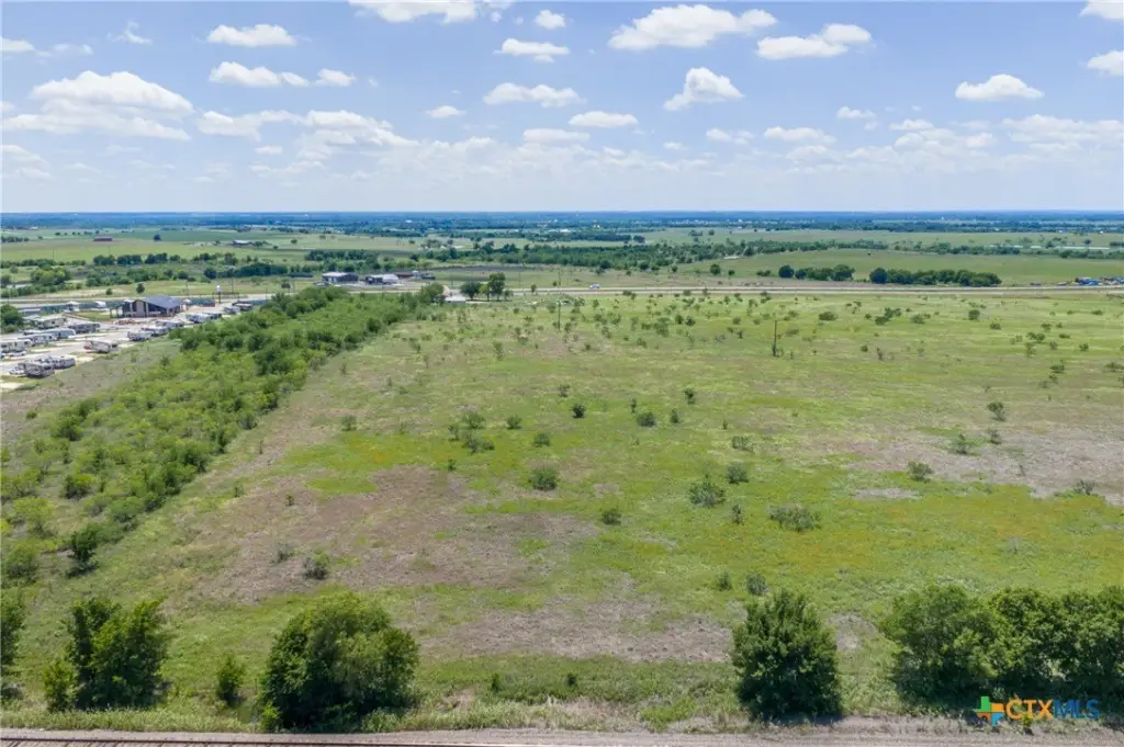
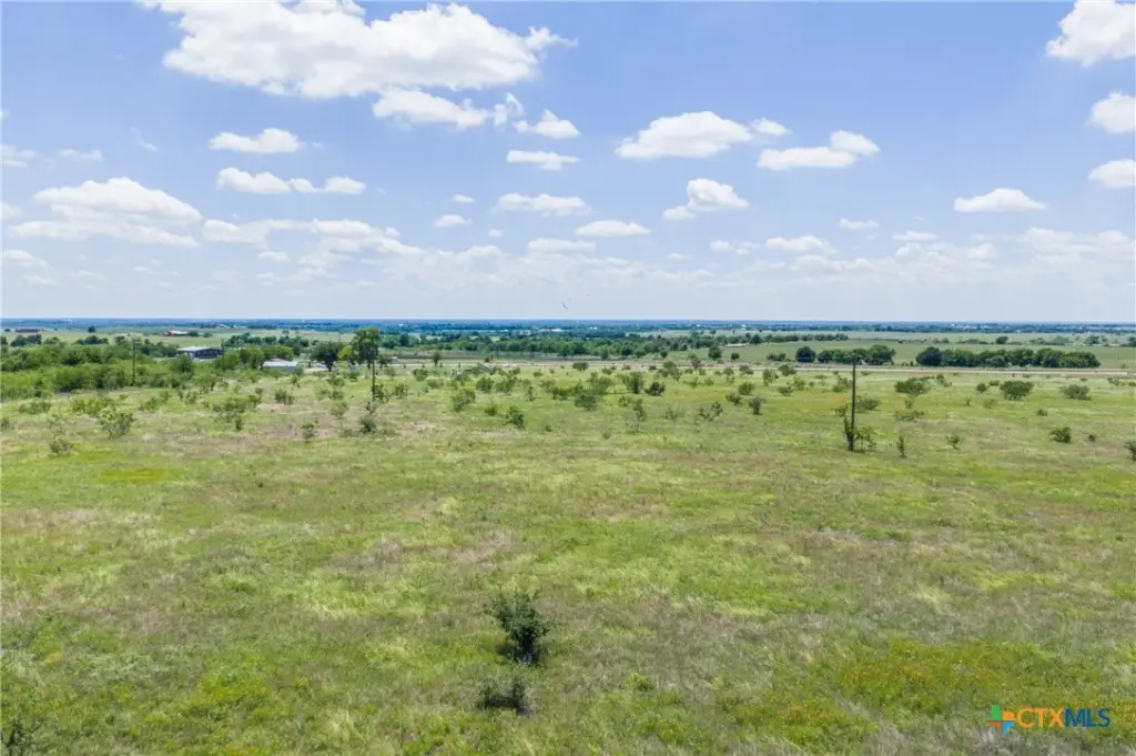
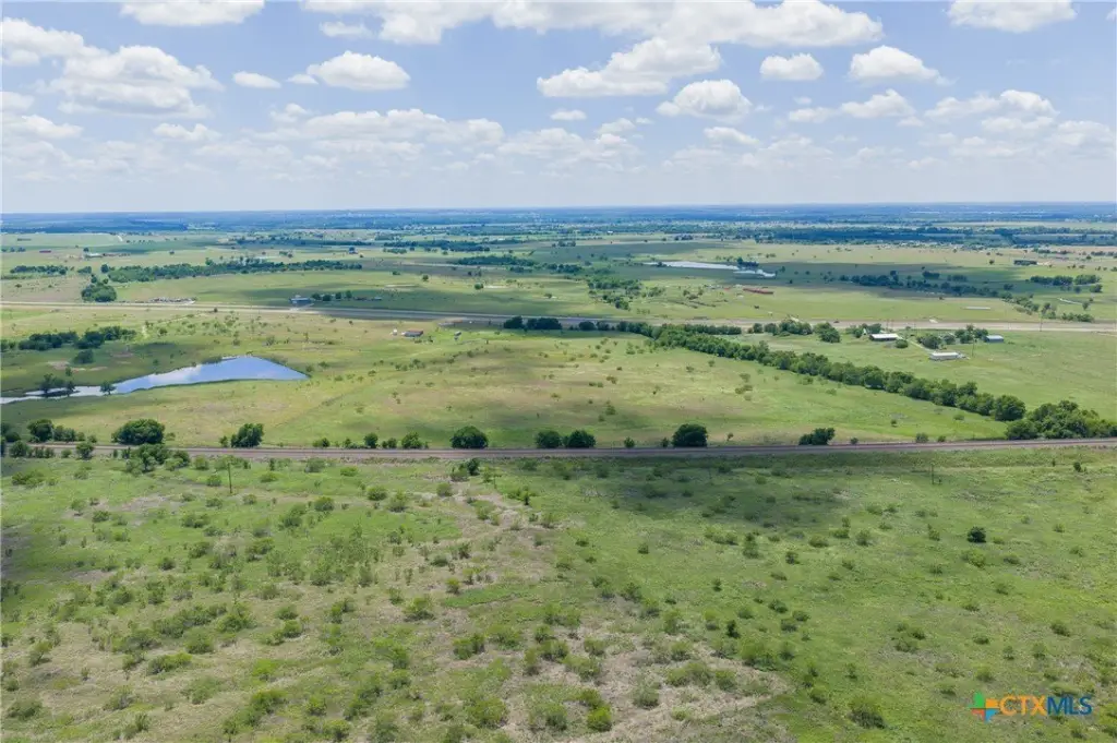
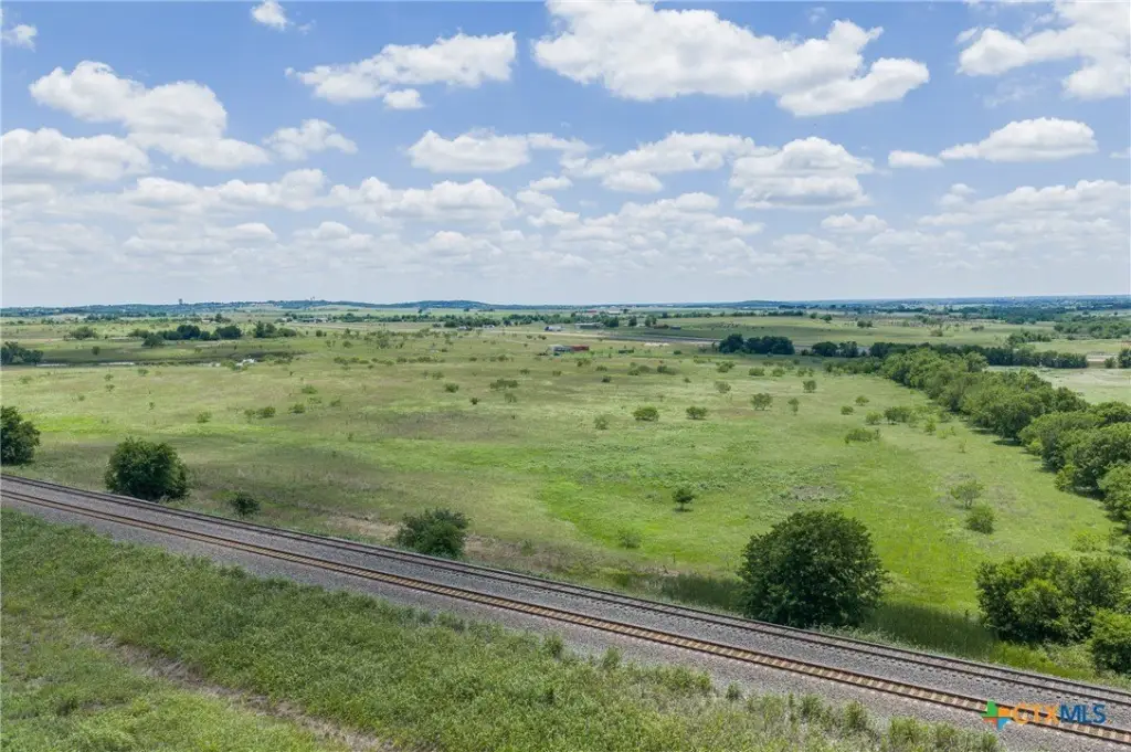
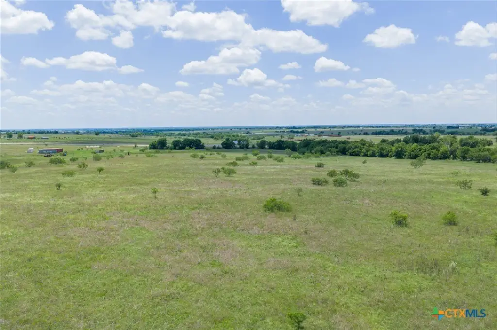
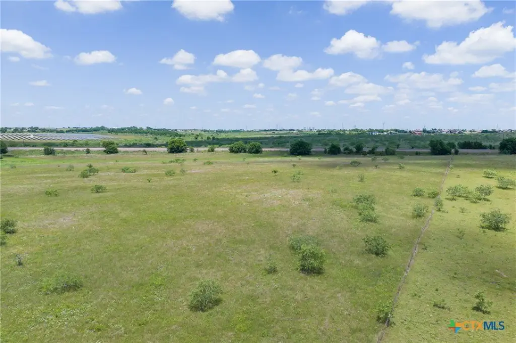
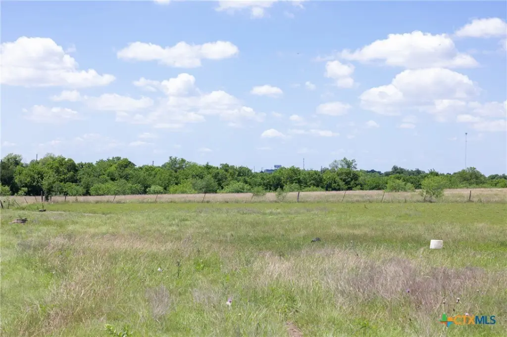
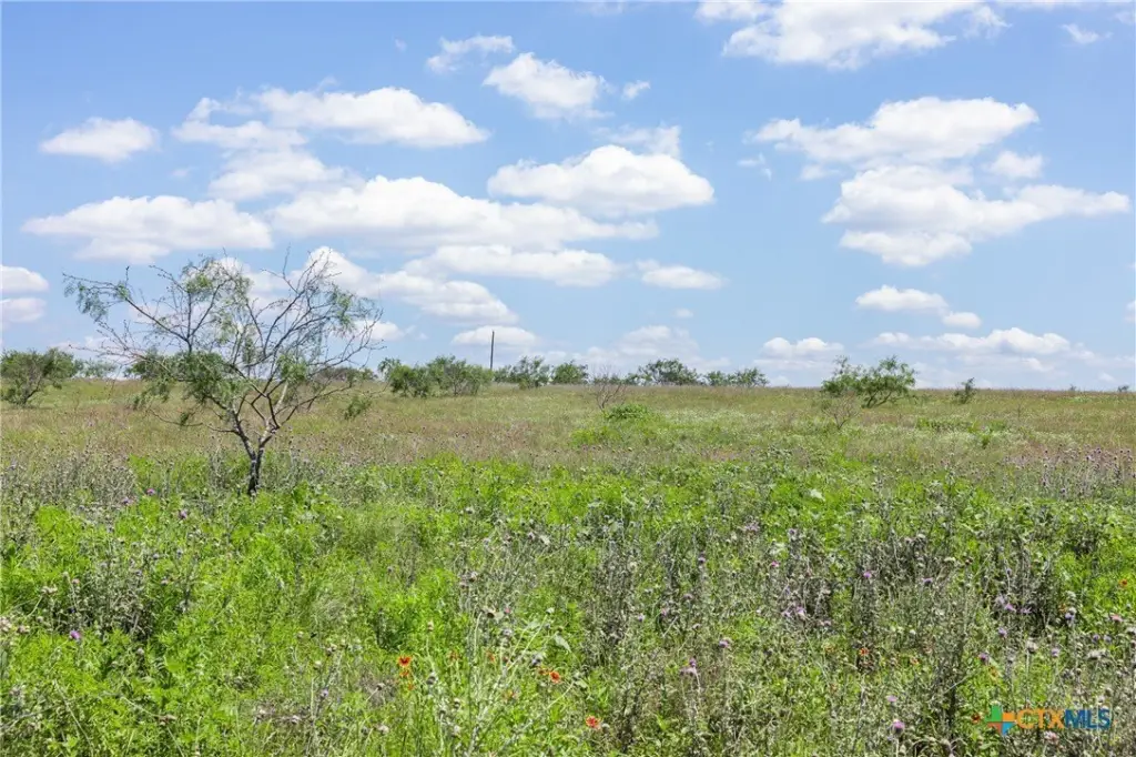
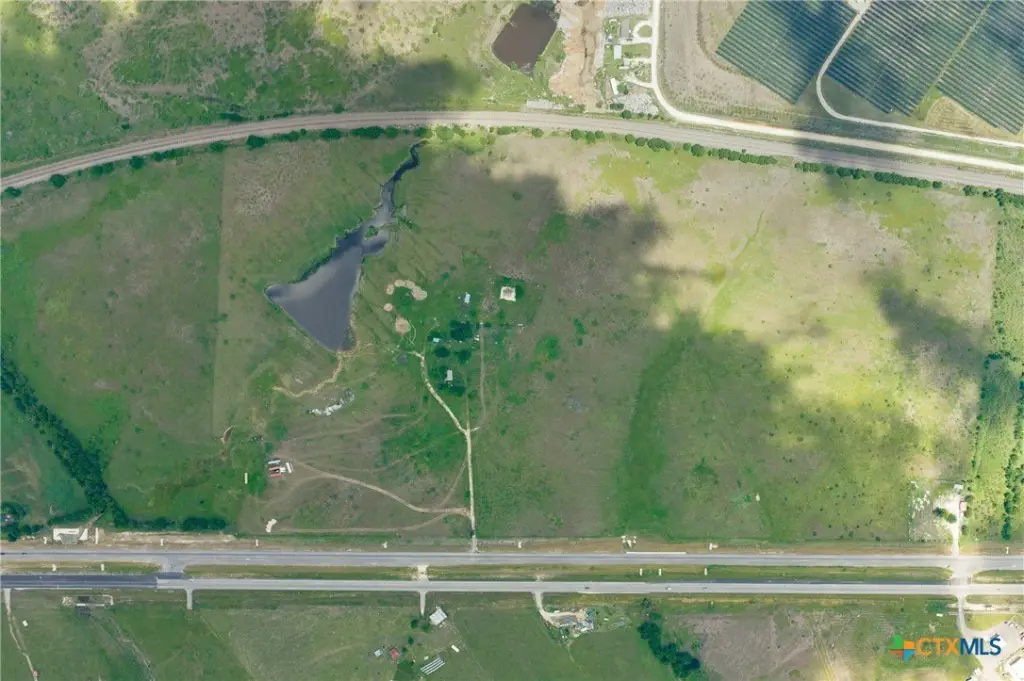
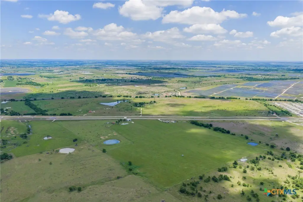
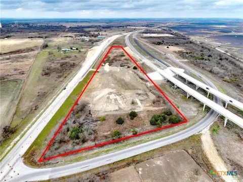
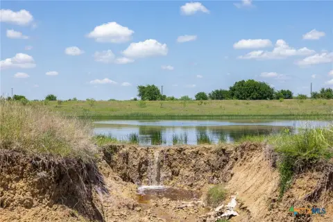
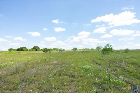
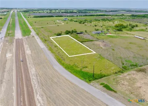
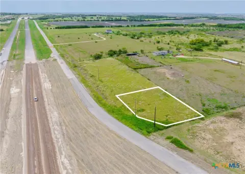
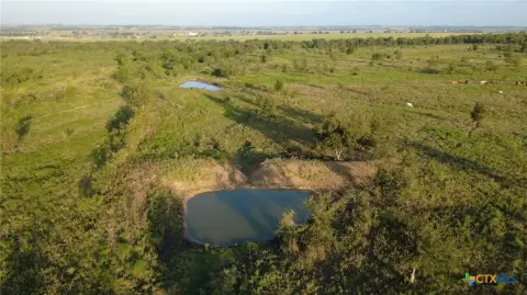
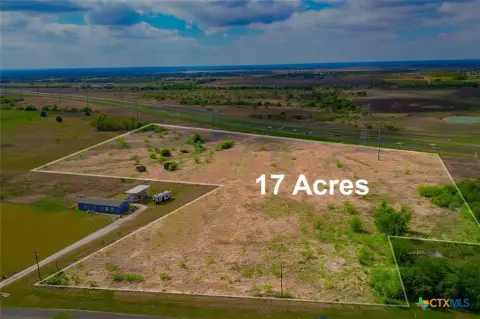
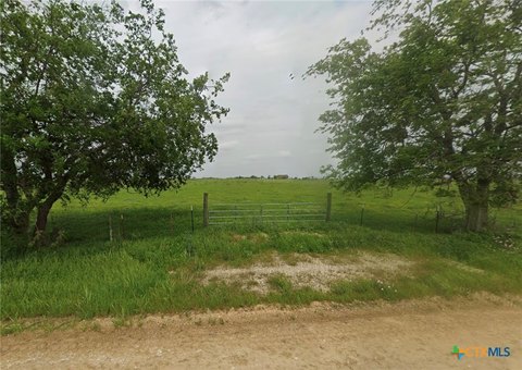
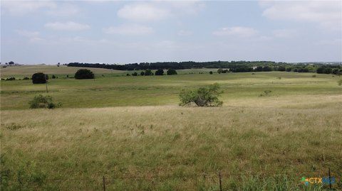
This commercial land offering is located directly on Hwy 36/US 190 in Rogers, Texas. The property is identified as four tracts ranging from 10-18 acres, with agricultural tax exemption noted for the land. A 4-inch East Bell Water Supply line is located at the road, and electric service is available through Oncor.
The site is positioned near Temple and provides access to Belton, Taylor, and surrounding Central Texas industrial areas. It also lies along the planned Interstate 14 corridor expansion. Due diligence is required regarding acreage, restrictions, zoning, utilities, access, surveys, floodplain, taxes, schools, and development feasibility.
The site is positioned near Temple and provides access to Belton, Taylor, and surrounding Central Texas industrial areas. It also lies along the planned Interstate 14 corridor expansion. Due diligence is required regarding acreage, restrictions, zoning, utilities, access, surveys, floodplain, taxes, schools, and development feasibility.
Key Highlights
- Directly located on Hwy 36/US 190 in Rogers, TX
- Four tracts ranging from 10‑18 acres
- 4‑inch East Bell Water Supply line at the road
Property Analytics
Current Use
Lease Details
Yes
Utilities to site
Location Intelligence
Trade Area within ½ mile
74
Businesses Nearby
Explore this area
Business Placement
Demographics for 76569, TX
2,661
Population
1,065
Households
2.5
Avg Household Size
39
Median Age
19%
College-Educated
92%
High-School Grad
95.7 sq mi
ZIP Area
28
Density / Sq Mi
$72,400
Median Household Income
$36,887
Median Earnings
$912
Median Rent
$118,500
Median Home Value
Market
Vacancy Rate% for Industrial in South region


Frequently Asked Questions
What type of property is this?
Commercial land - Water service is available at the road, with electric power accessible through Oncor.
Where is this commercial land located?
The property is located at HWY 36 lot 1 Rogers, TX.
What is the asking price?
The asking price for this property is $269,000.
What are key features of this property?
This property features: Directly located on Hwy 36/US 190 in Rogers, TX; Four tracts ranging from 10‑18 acres; 4‑inch East Bell Water Supply line at the road


