Forested Mountain-View Build
For Sale
$379,000
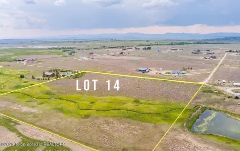
TRACT 14 SPRING HOLLOW ROAD, Daniel, WY 83115
Land, Merna, WY
Property SizeContact for details
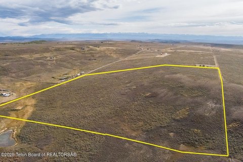
Lot Size35.01 Acres
Days on Market100
Property Features for TRACT 14 SPRING HOLLOW ROAD
General Information
Property type
Land
Property subtype
Other
Zoning description
Agricultural
Subdivision
Aspen Ridge
Lot features
Wooded, Many Trees, Adjacent Open Space
View
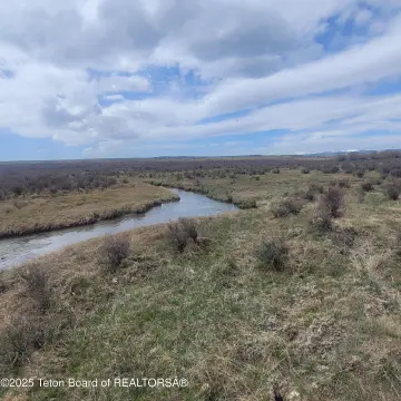
River
Standard status
Active
APN
35132240101400
Lot size
35.01 Acres
Taxes and HOA fees
Tax Year
2025
Tax Annual Amount
683
HOA Fee
$500 Annually
Utilities
Sewer type
Septic Needed
Water source
Well
Listing Agency:
Pinedale Properties, Inc.
(307) 367-6683
Listed By:
Camden Bennett · License #RE-14805
(801) 910-6528
Added: Jul 3
Changed: Sep 13
Last Checked: Oct 10 at 11:06AM
MLS# 26-1735
Copyright © 2026 Teton Board of REALTORS®. All rights reserved. All information provided by the listing agent/broker is deemed reliable but is not guaranteed and should be independently verified.
Investment Insights
Based on property information with market context.
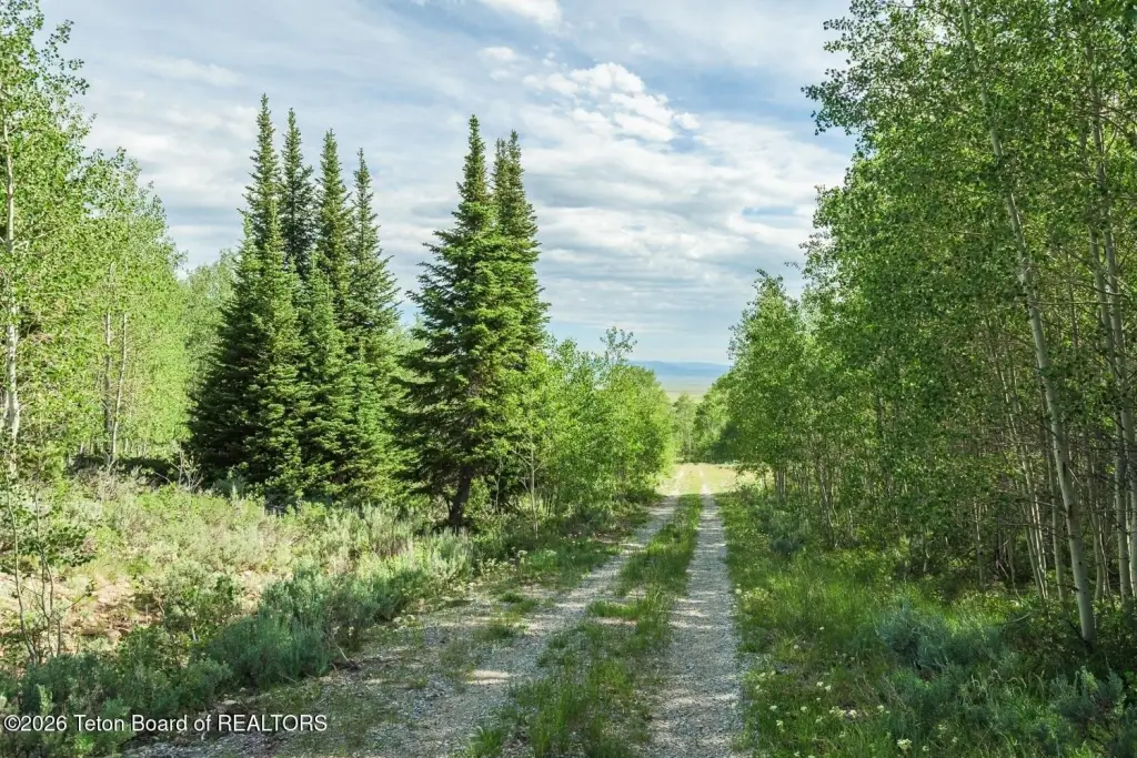
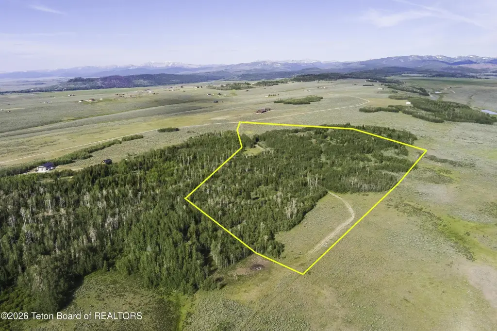
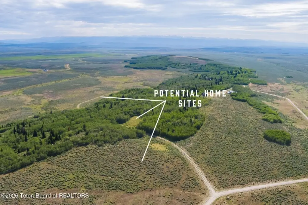
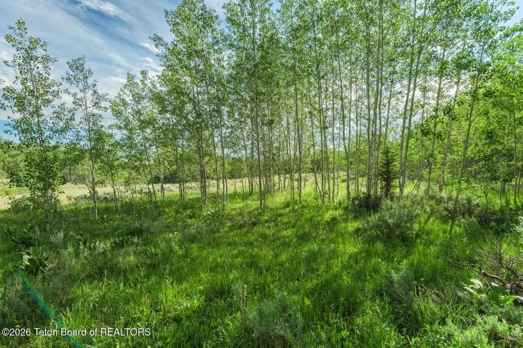
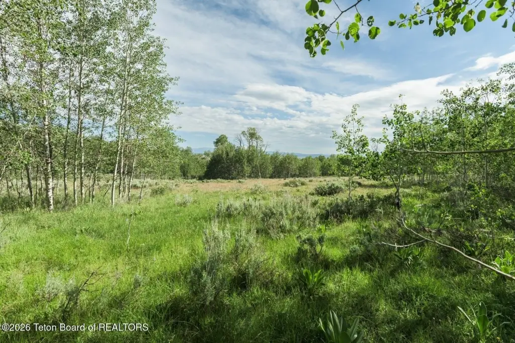
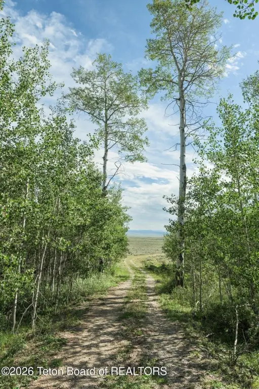
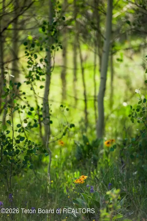
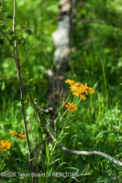
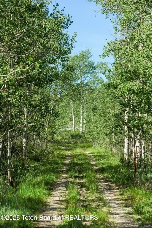
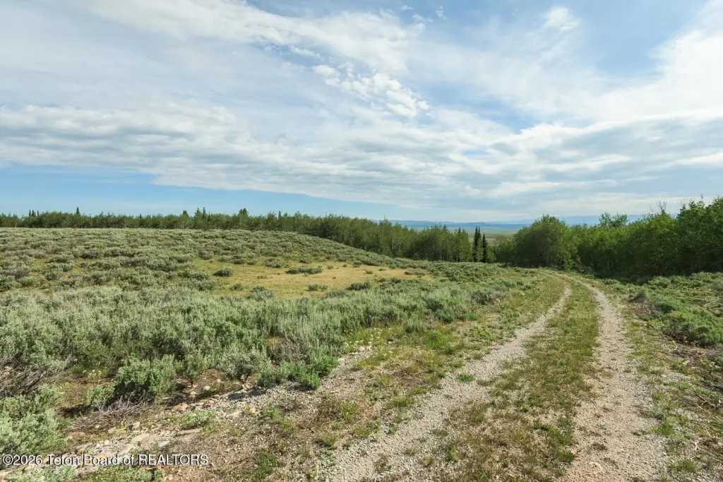
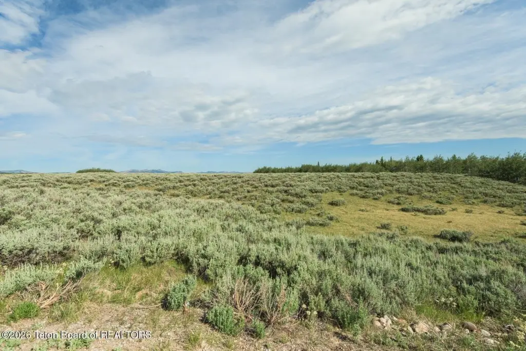
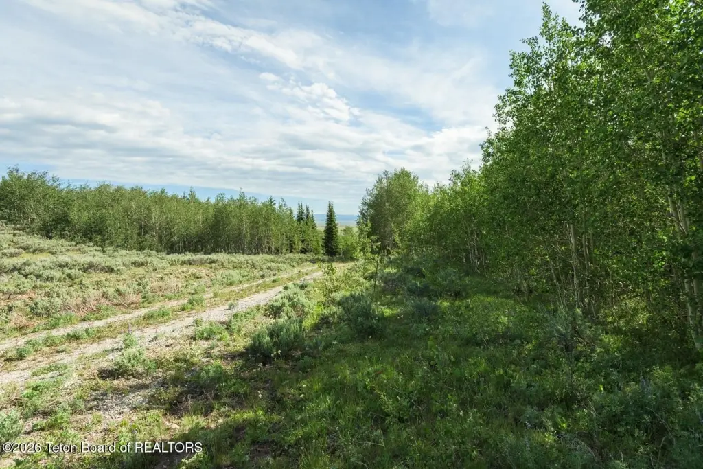
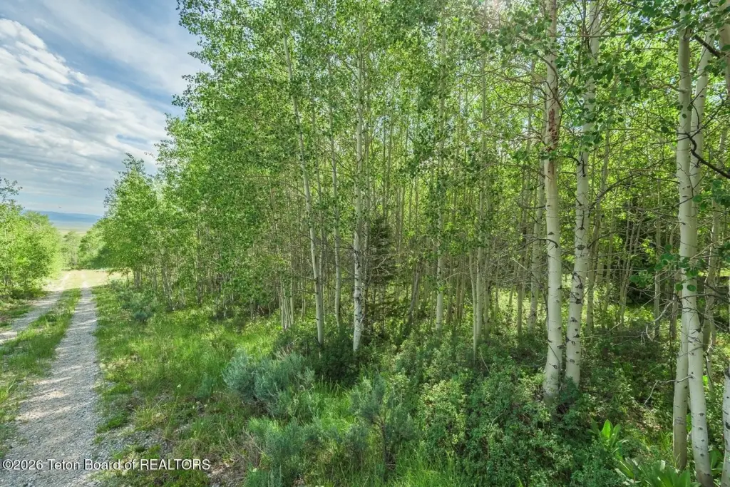
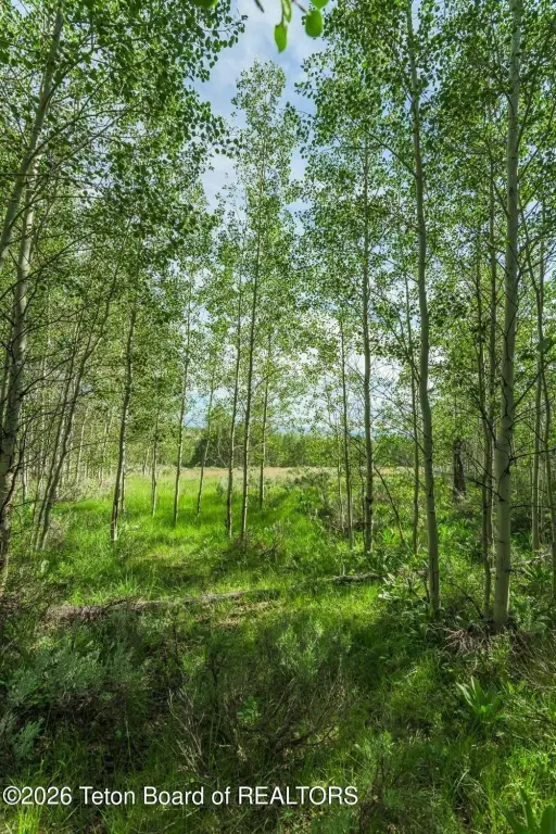
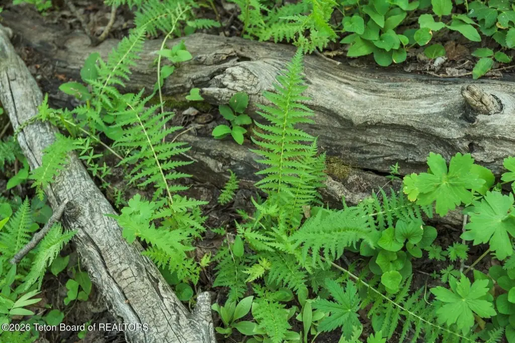
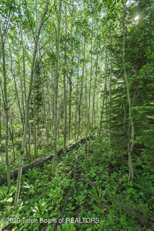
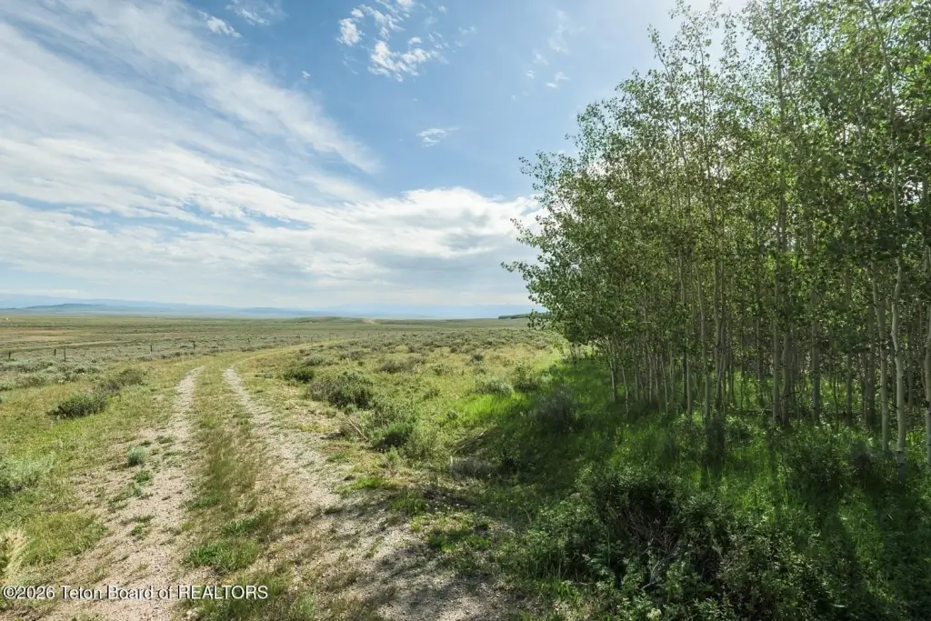
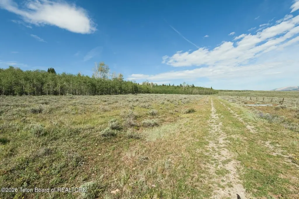
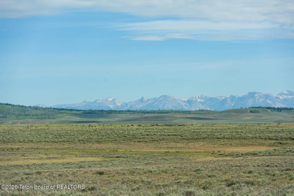
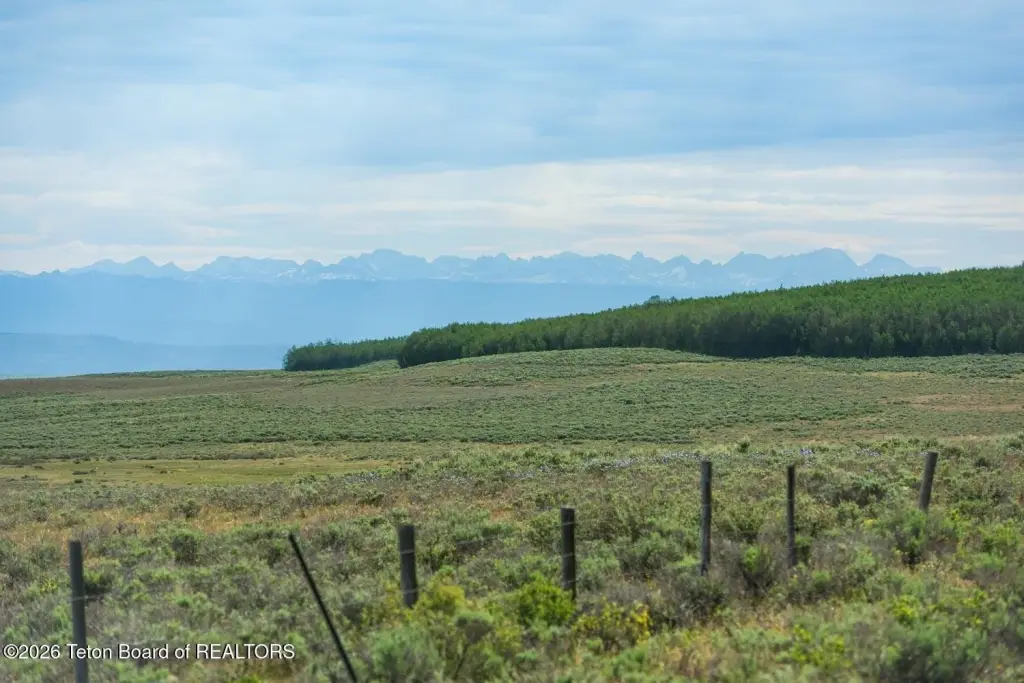
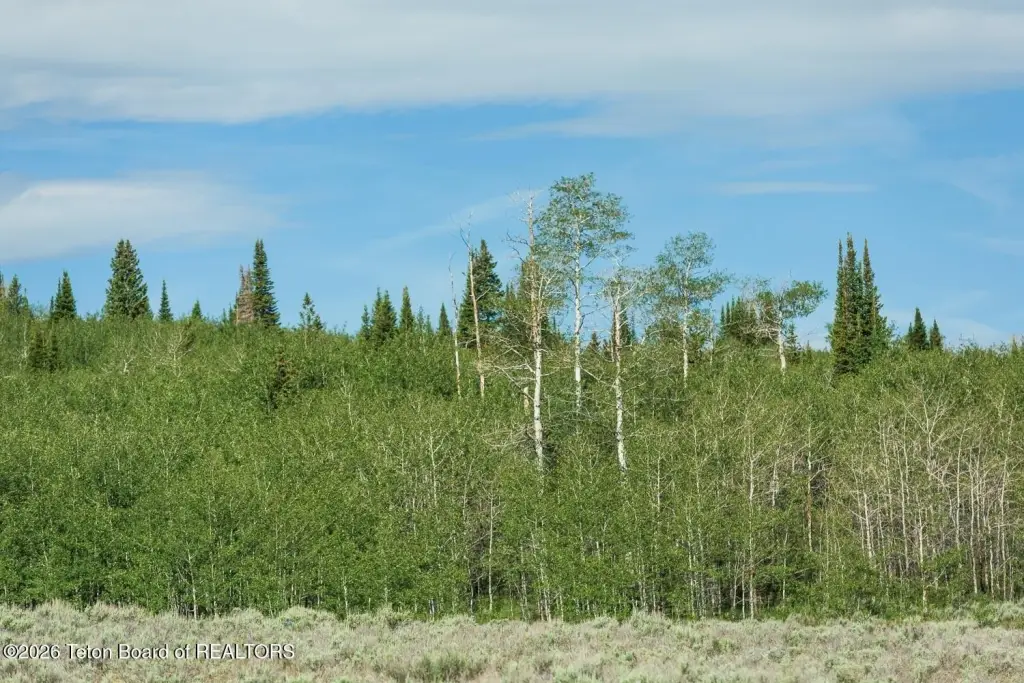
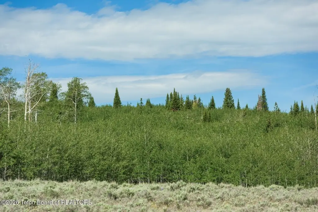
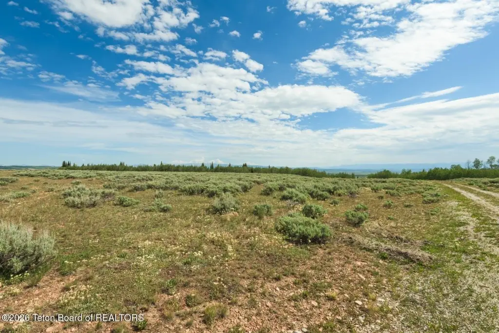
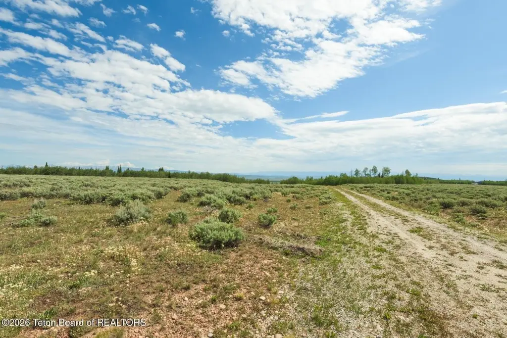
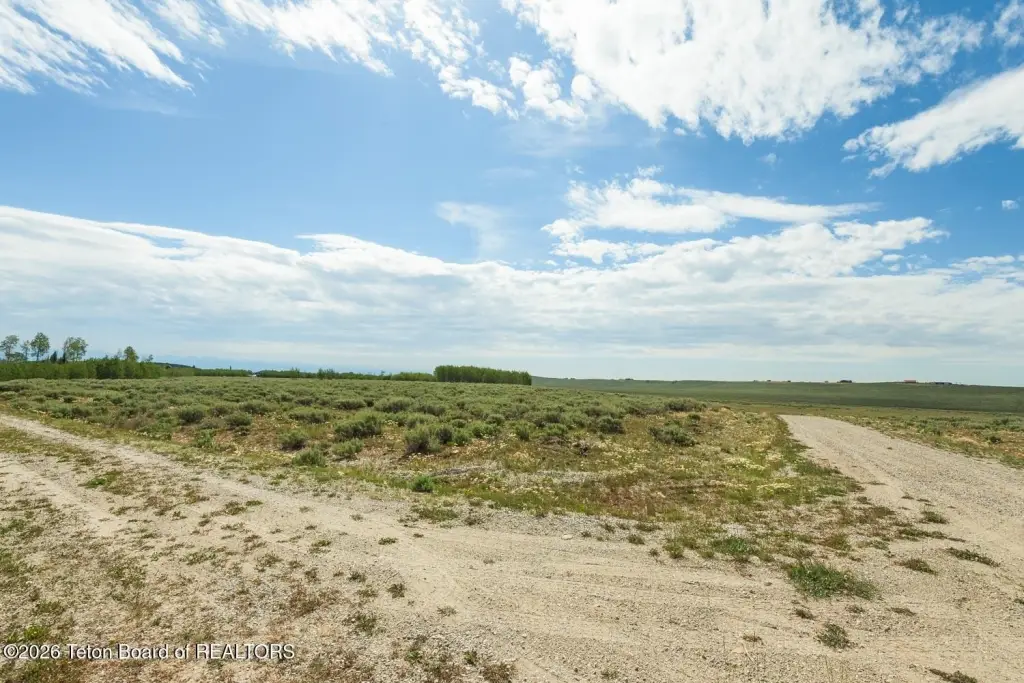
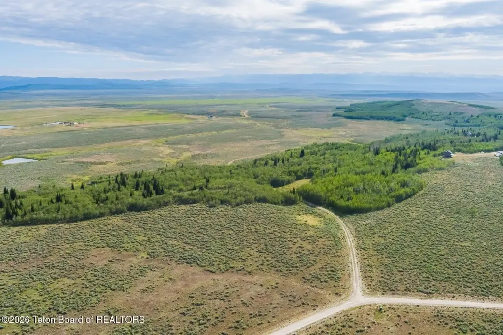
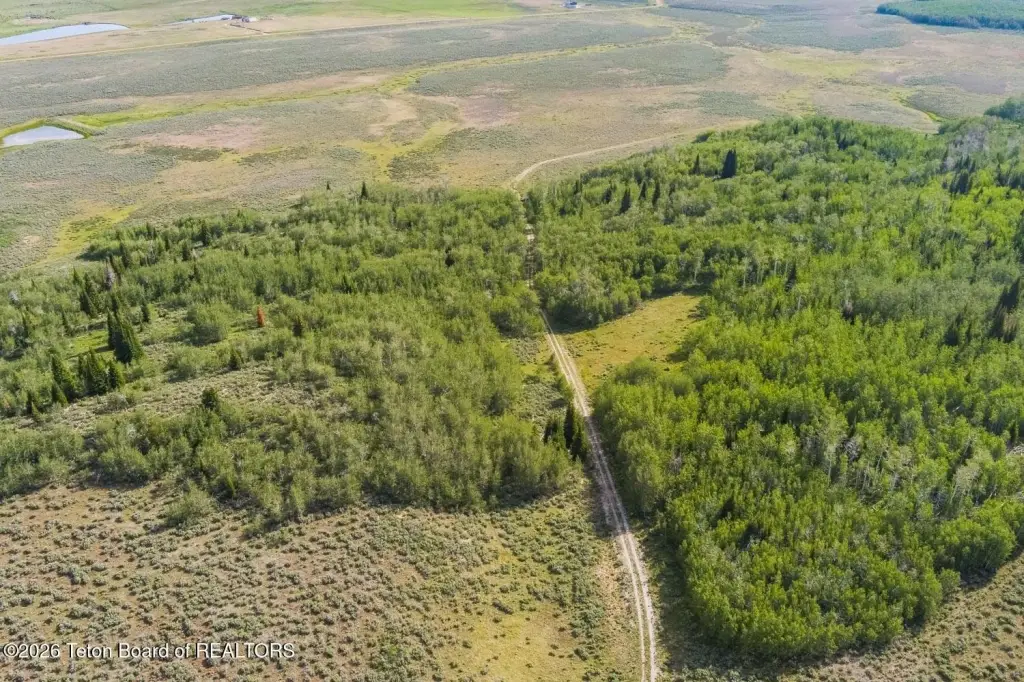
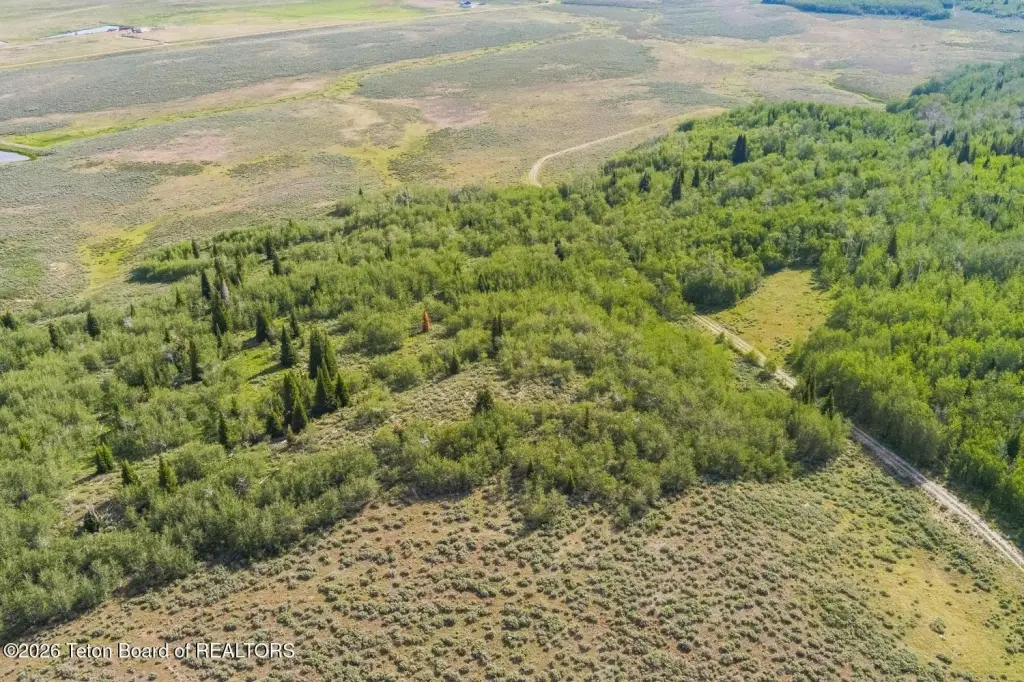
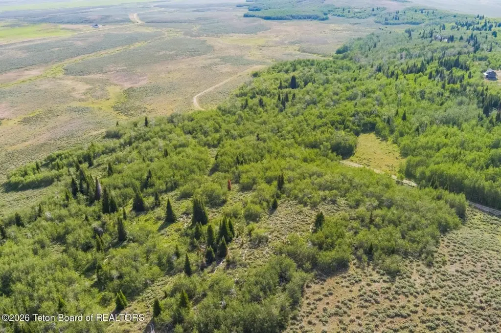
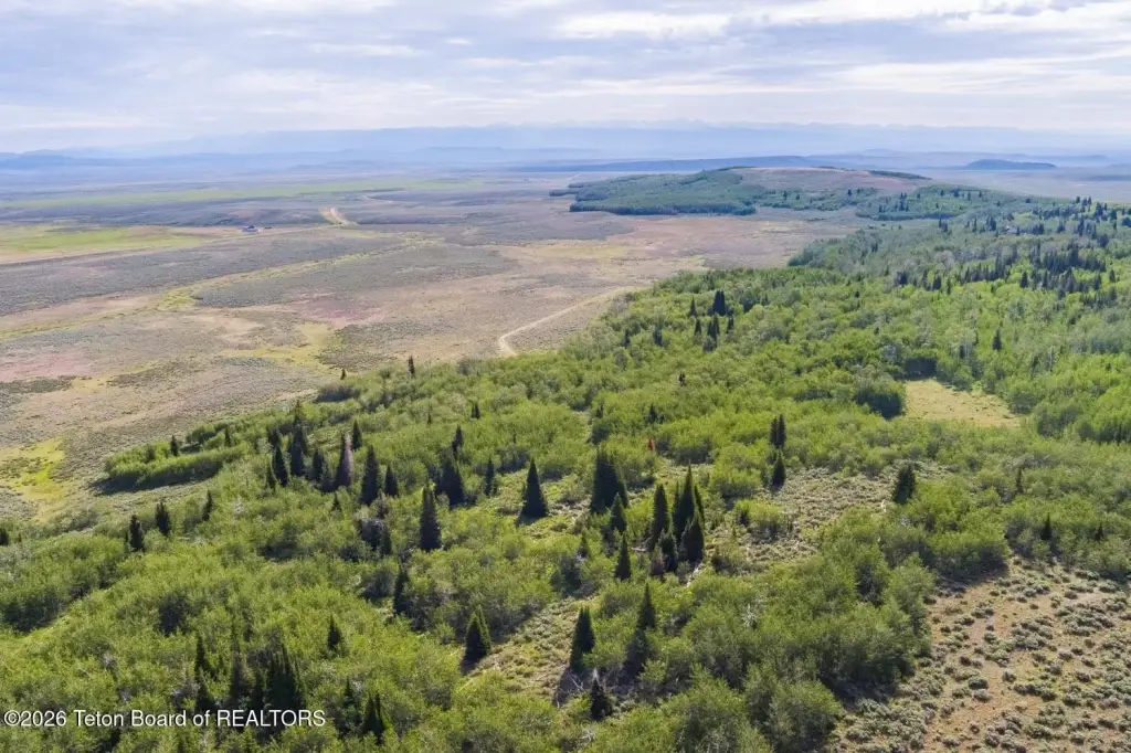
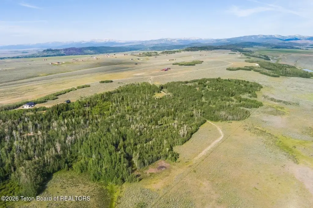
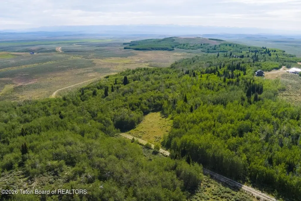
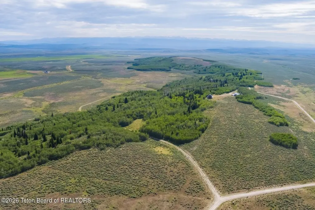
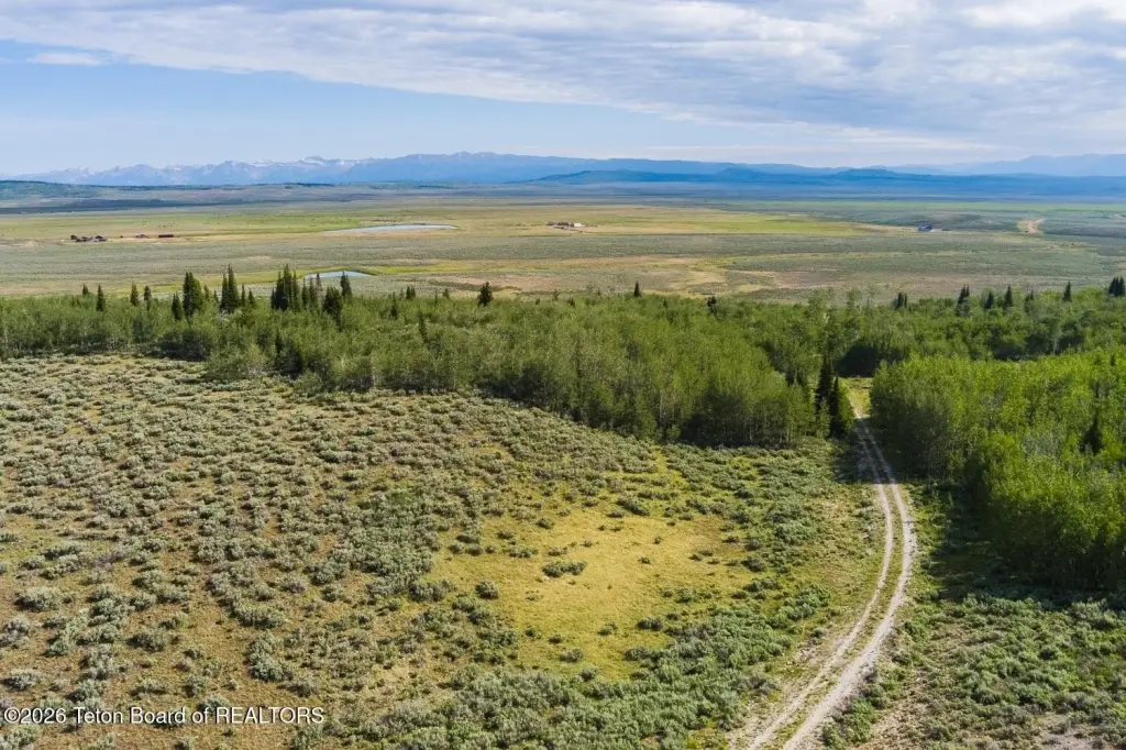
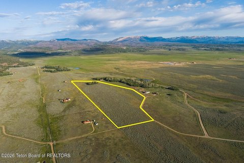
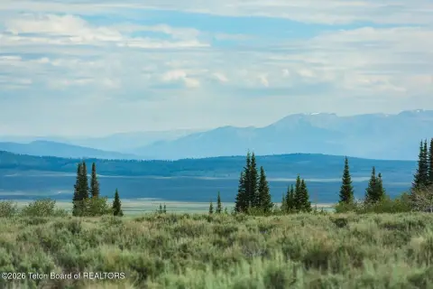
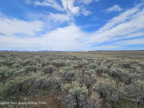
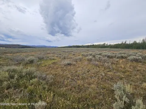
This 35.01-acre forested property features over 20 acres of aspen and mixed conifer that transition into open meadow, providing cleared ground to build without clearing the entire forest. The tract is set up with two potential building sites off Spring Hollow Rd, including a lower site described as the most private with the best views. Game trails run through the timber, and the property’s setting is characterized by abundant wildlife.
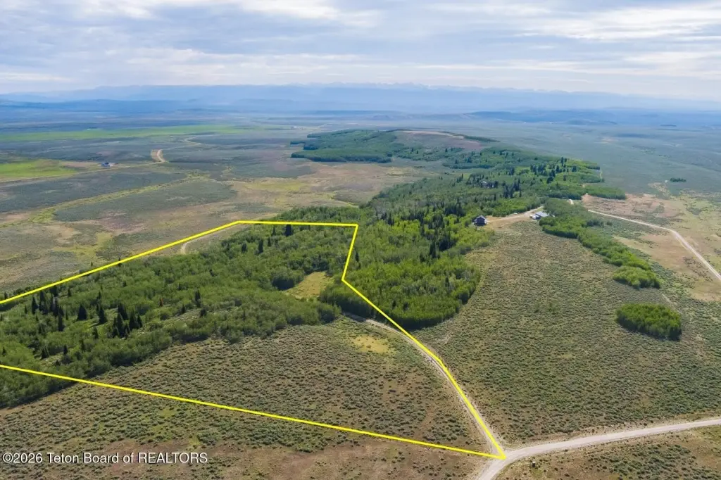
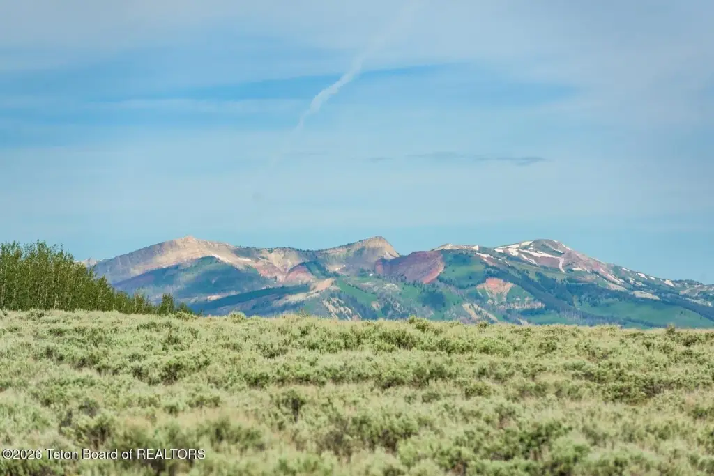
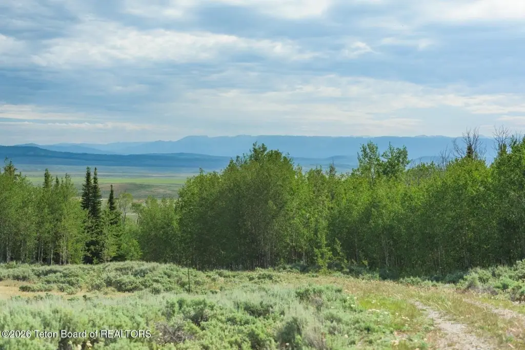
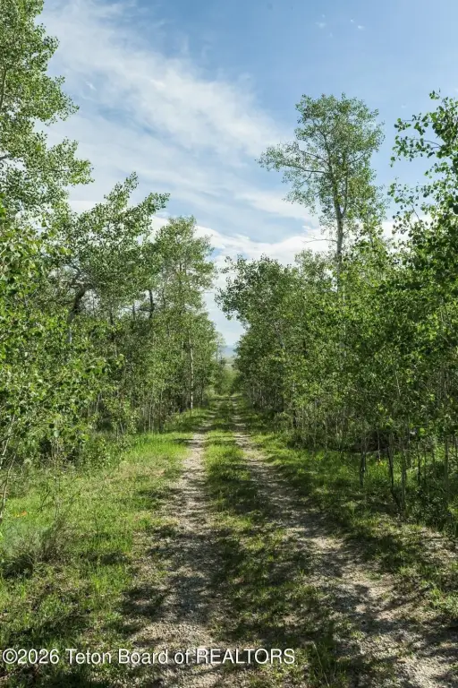
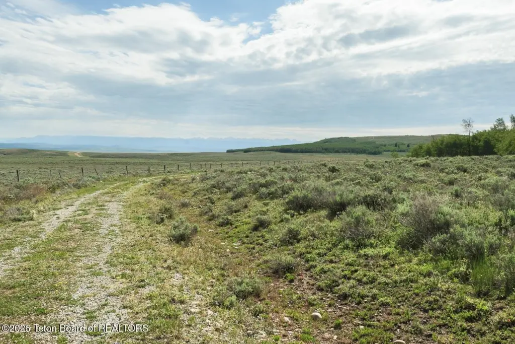
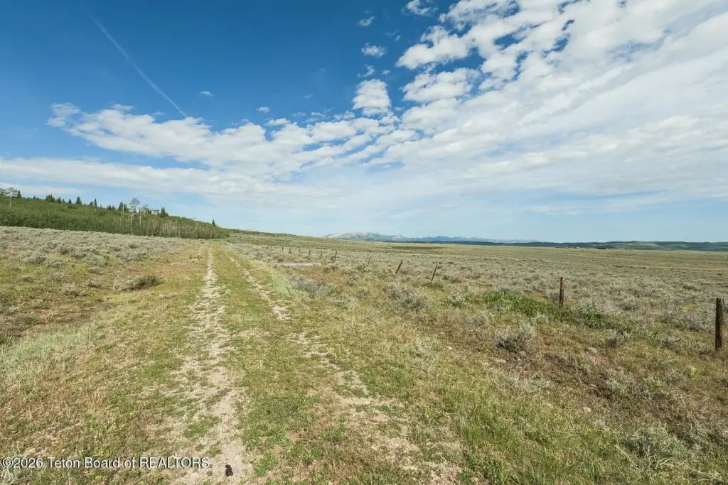
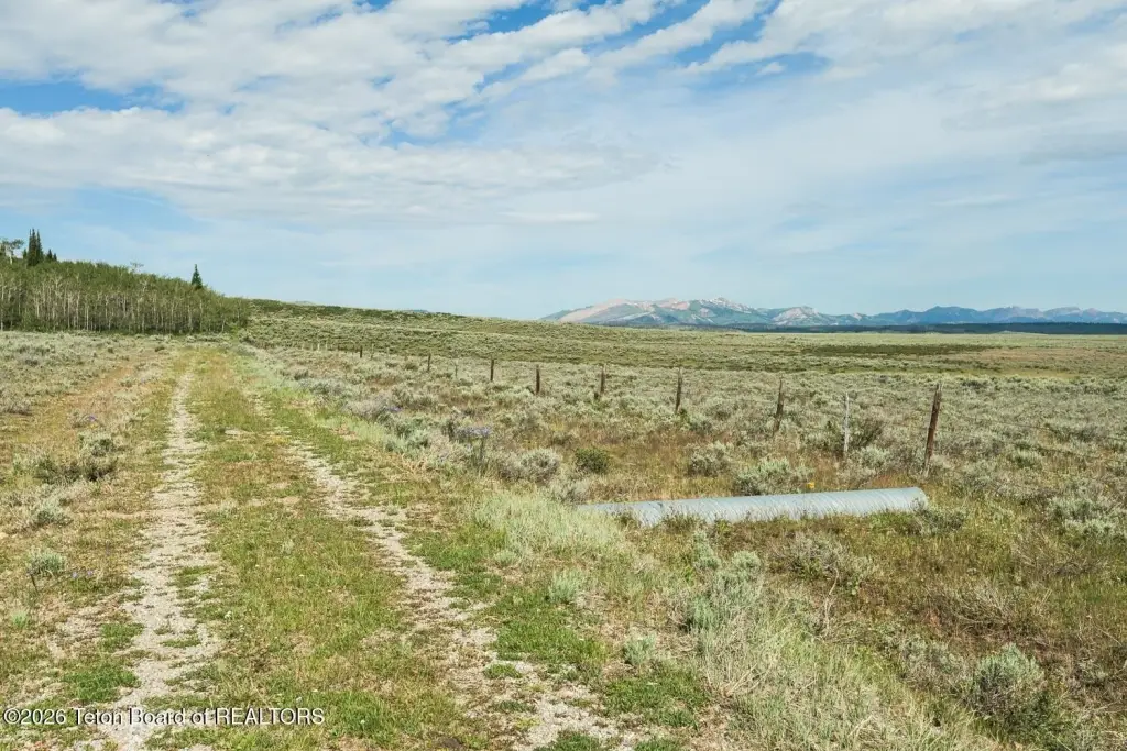
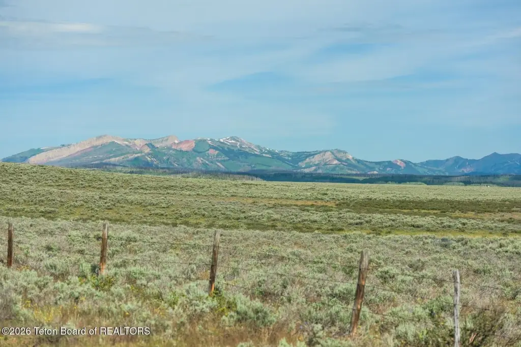
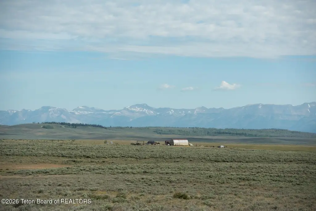
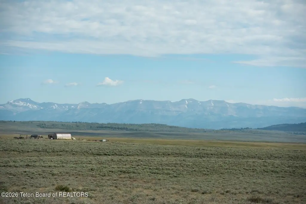
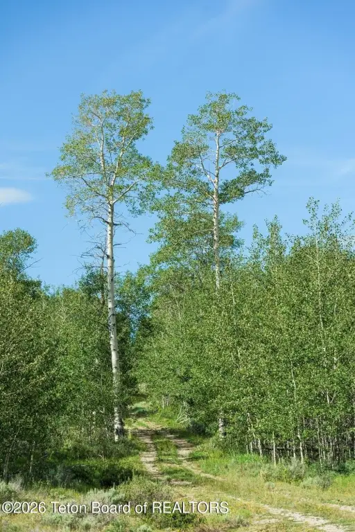
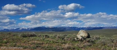
Access comes via Spring Hollow Rd, which runs into the property. The listing notes multiple National Forest access points that are minutes away, supporting year-round outdoor recreation such as hiking, hunting, and snowmobiling. The views are directed toward the Wyoming Range, Gros Ventre, and Wind River Mountains.
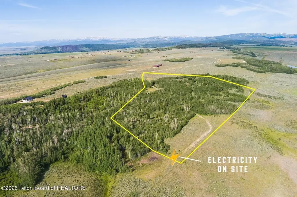
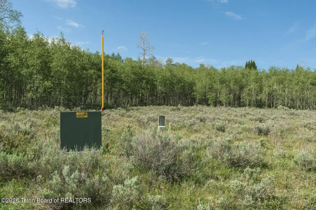
For buyers looking for a remote buildable parcel, the lower building site includes a power transformer already in place, which can reduce one of the common up-front costs associated with developing raw land. With significant acreage of existing aspen and mixed conifer alongside cleared meadow, the property offers flexibility for siting a home while maintaining a wooded, nature-forward setting within close reach of National Forest recreation.
Access comes via Spring Hollow Rd, which runs into the property. The listing notes multiple National Forest access points that are minutes away, supporting year-round outdoor recreation such as hiking, hunting, and snowmobiling. The views are directed toward the Wyoming Range, Gros Ventre, and Wind River Mountains.
For buyers looking for a remote buildable parcel, the lower building site includes a power transformer already in place, which can reduce one of the common up-front costs associated with developing raw land. With significant acreage of existing aspen and mixed conifer alongside cleared meadow, the property offers flexibility for siting a home while maintaining a wooded, nature-forward setting within close reach of National Forest recreation.
Key Highlights
- 35 forested acres in Aspen Ridge with views of the Wyoming Range, Gros Ventre, and Wind River Mountains
- Over 20 acres of aspen and mixed conifer break into open meadow/cleared ground ready to build without clearing forest
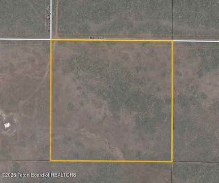
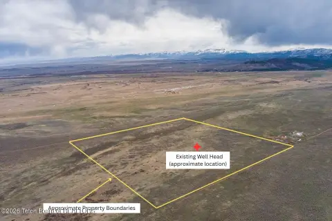
- Spring Hollow Rd provides access to two potential building sites on the property
Property Analytics
Unlock full access to Insights
Subscribe to Realmo Intelligence
Open Analytics
Current Use
Lease Details
Yes
Paved road access
Location Intelligence
Demographics for 83115, WY
445
Population
334
Households
1.3
Avg Household Size
52
Median Age
43%
College-Educated
100%
High-School Grad
338.4 sq mi
ZIP Area
1
Density / Sq Mi
$619,800
Median Home Value
Check the figures for this property
Cap Rate, Value Estimation, Potential NOI and more
View Realmo Analytics

Questions? Ask Rey
Realmo’s AI knows this listing — price, zoning, demand, history. Ask anything.


Frequently Asked Questions
What type of property is this?
Residential land & home lot - 35-acre tract with cleared meadow, established aspen stands, and a lower build area with power transformer already present.
Where is this residential land & home lot located?
The property is located at TRACT 14 SPRING HOLLOW ROAD Daniel, WY.
What is the asking price?
The asking price for this property is $379,000.
What are key features of this property?
This property features: 35 forested acres in Aspen Ridge with views of the Wyoming Range, Gros Ventre, and Wind River Mountains; Over 20 acres of aspen and mixed conifer break into open meadow/cleared ground ready to build without clearing forest; Spring Hollow Rd provides access to two potential building sites on the property


