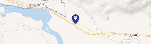
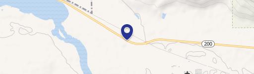
nhn Mt Hwy 200, Thompson Falls, MT 59873
LAND - Thompson Falls, MT
- Added:
- Apr 10, 2025
- Days on Market:
- 453
- Last Refresh:
- Jul 6 at 1:06 pm
Property Features for nhn Mt Hwy 200
General Information
- Property type
- Land
- Property subtype
- Other
- Standard status
- Active
- APN
- 35309223401500000
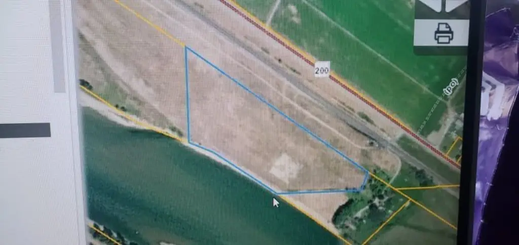
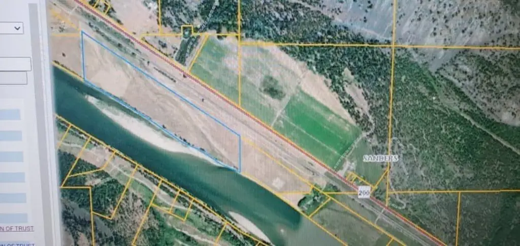
- Lot size
- 65.77 Acres
Taxes and HOA fees
- Tax Year
- 2024
- Tax Description
- Portion of Land SW of the RR R/W and easterly of the Clark Fork river in a portion of Govt. Lot 3 & Govt. Lot 8 in the SW 1/4 of S23, T21N, R28W, 48.75 ac. AND portion of land in the SW 1/4 SW 1/4 (Govt. Lot 1) of S24, T21N, R26W, 17.02 Ac
- Tax Annual Amount
- 334
Utilities
- Water front features
- Waterfront, River Front
- Water front
- 1
Listing agent Mary E Halling License #RRE-RBS-LIC-45654 (406) 207-7430
Listing office Clearwater Montana Properties - Plains 306 W Railroad Ave Ste 1, Seeley Lake, MT (406) 826-6000
Listing date Apr 10, 2025
Copyright © 2026 Montana Regional MLS. All rights reserved. All information provided by the listing agent/broker is deemed reliable but is not guaranteed and should be independently verified.
HighLights
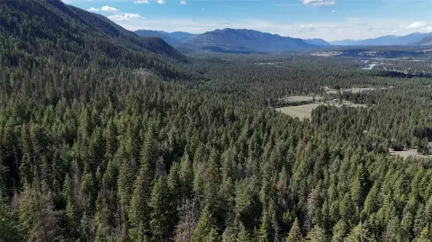
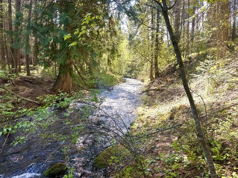
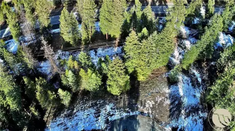
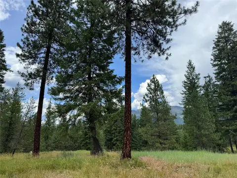
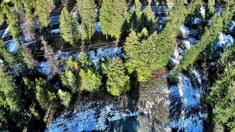
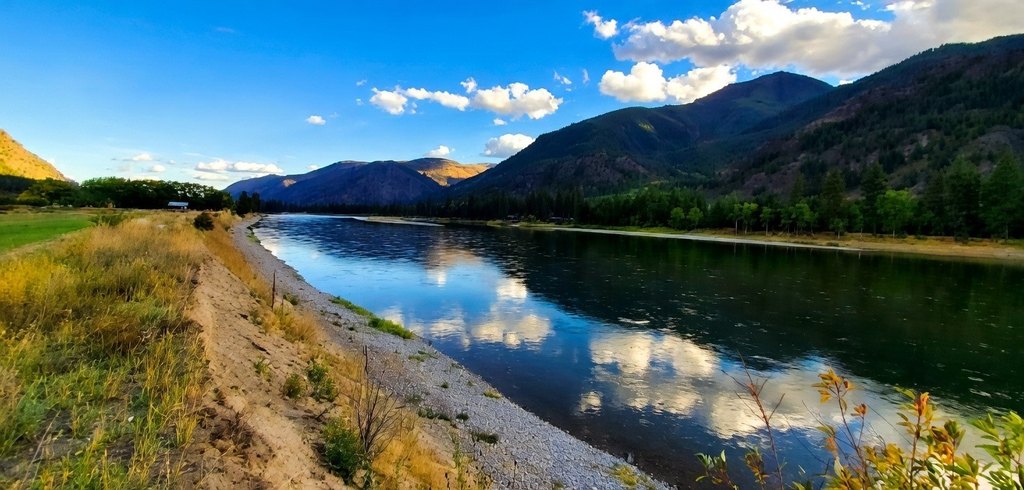
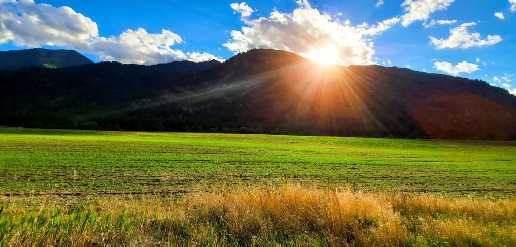
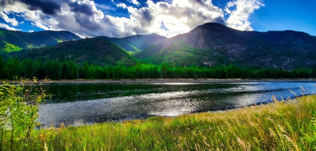
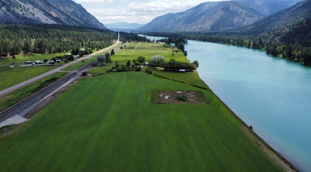
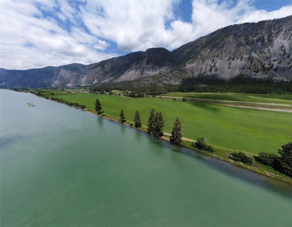
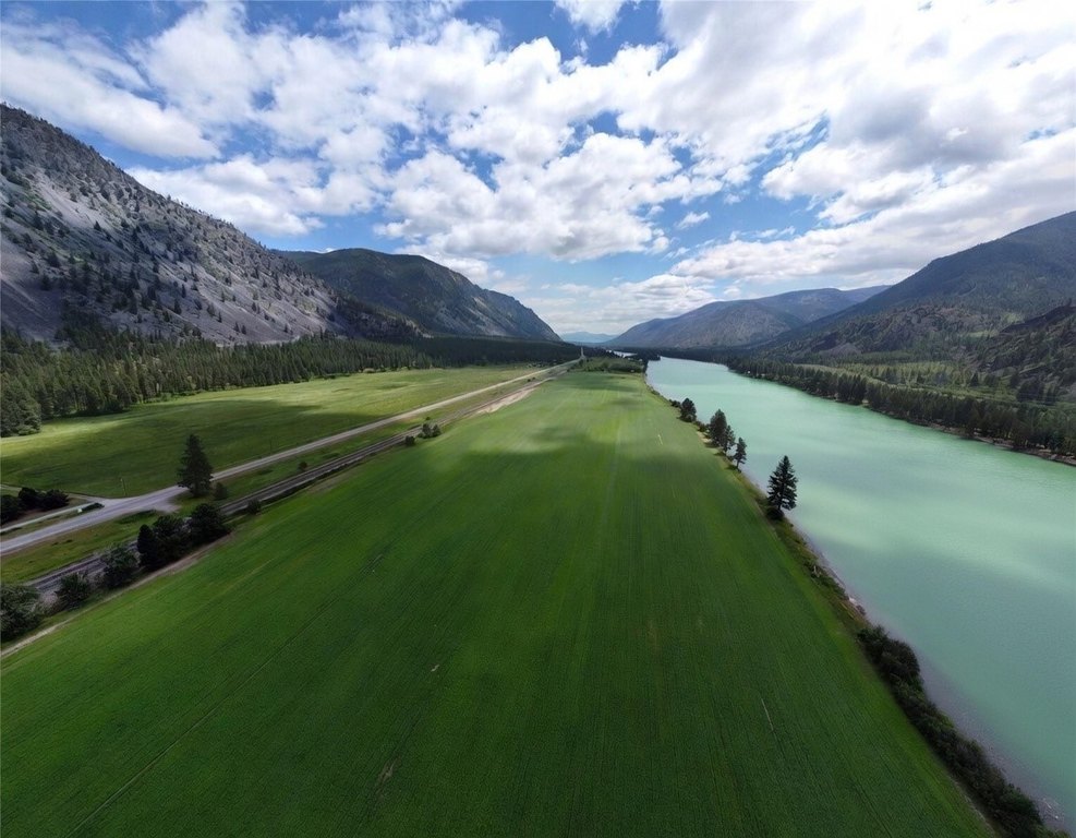
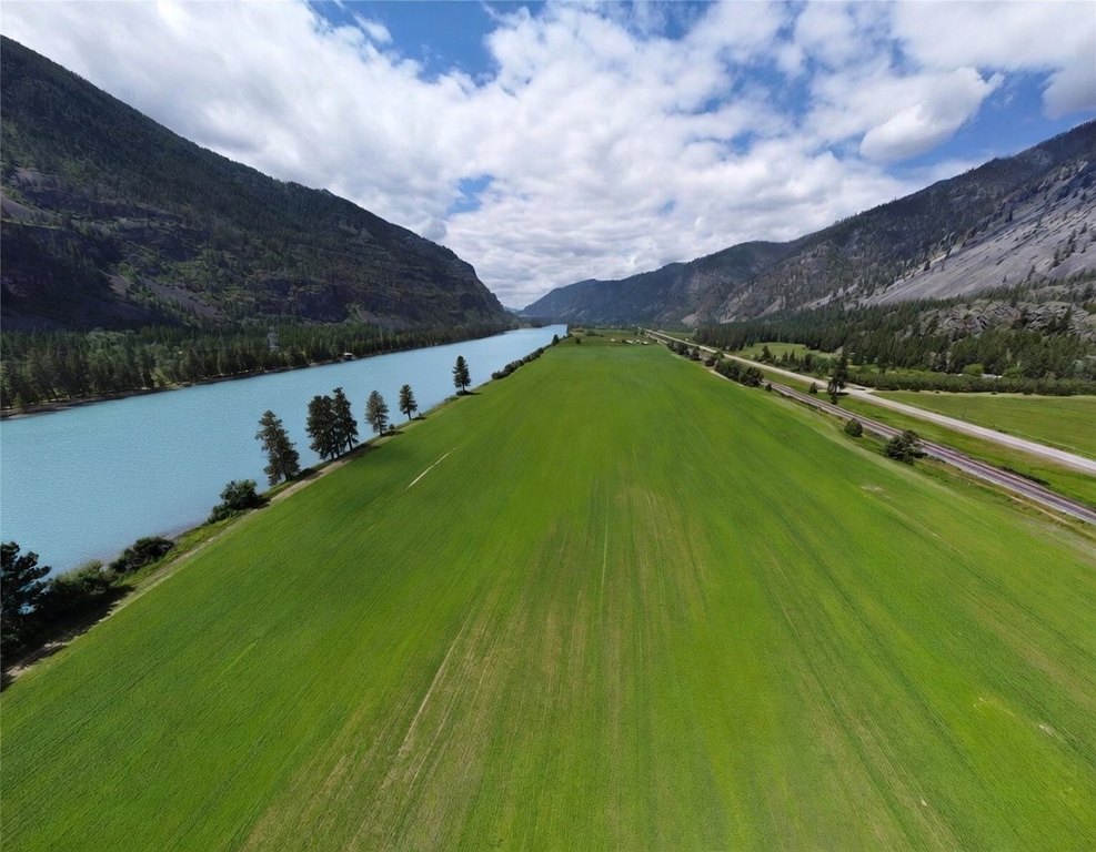
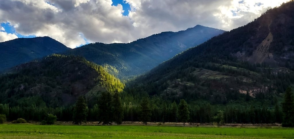
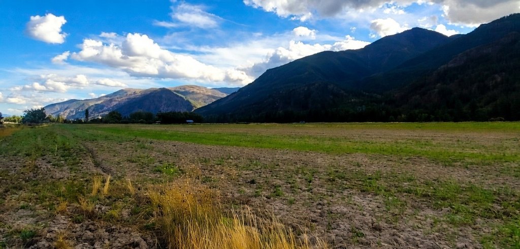
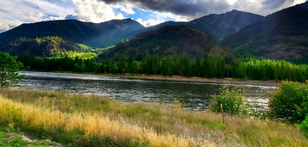
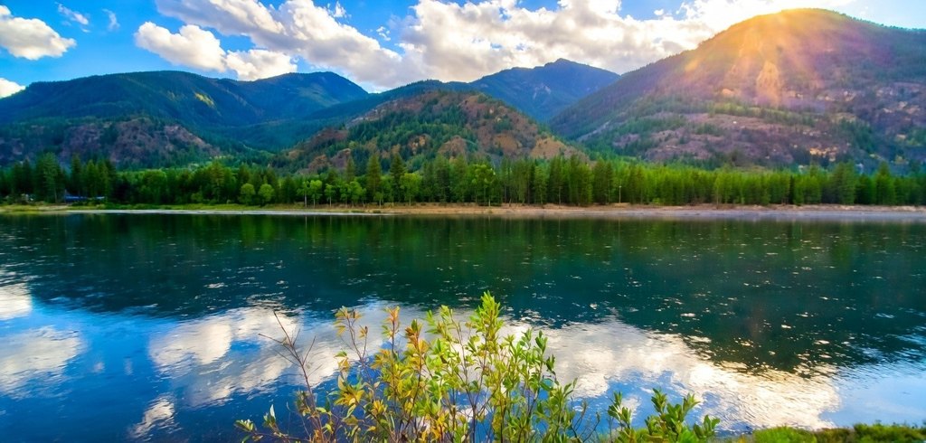
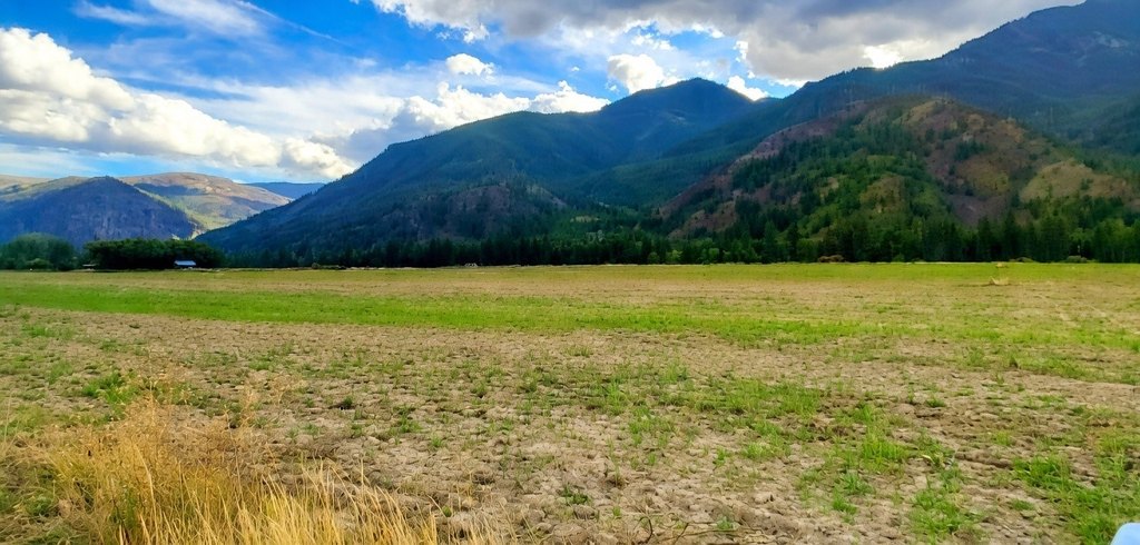
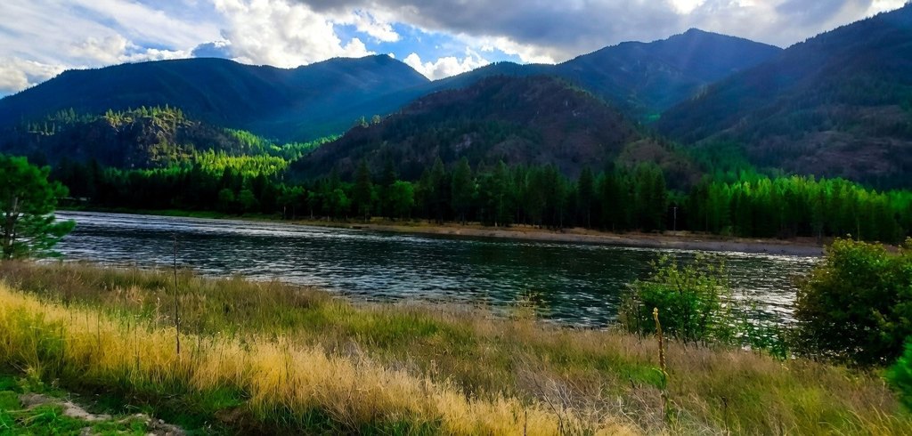
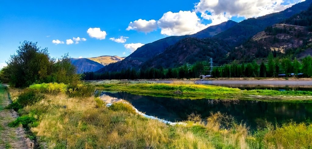
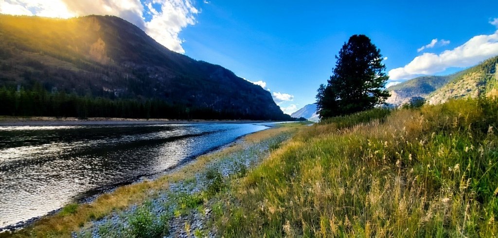
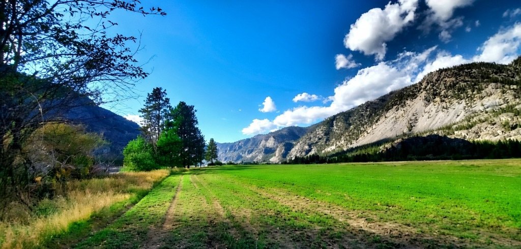
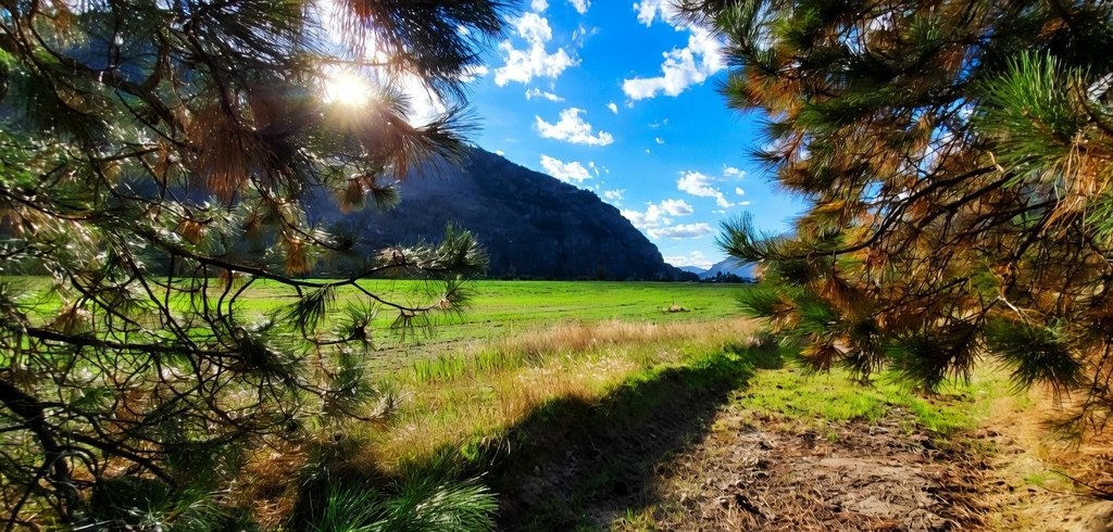
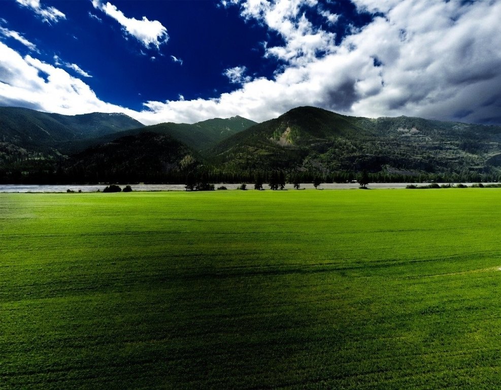
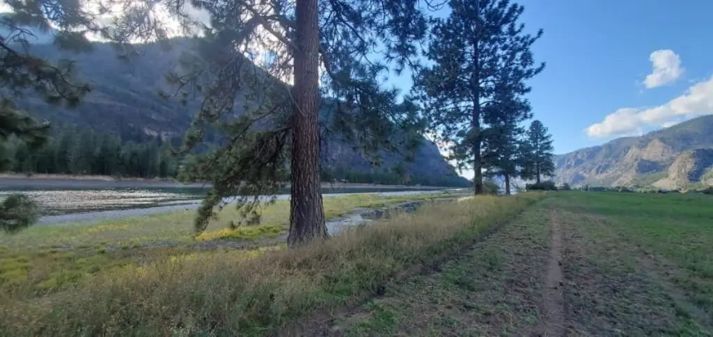
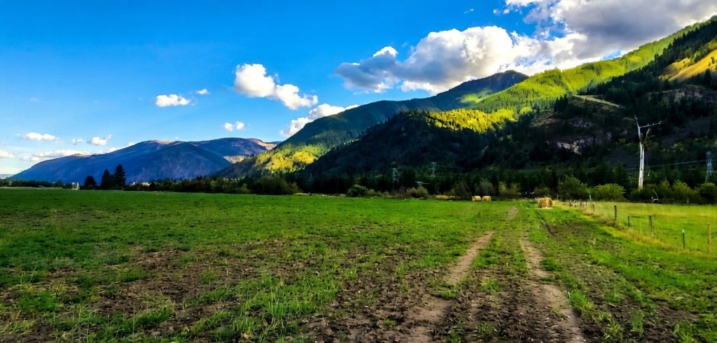
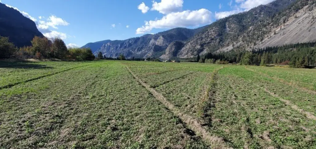
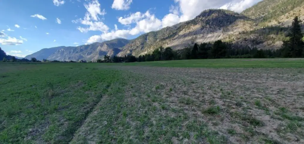
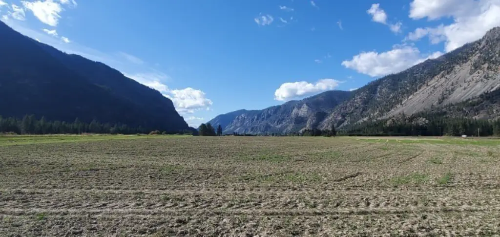
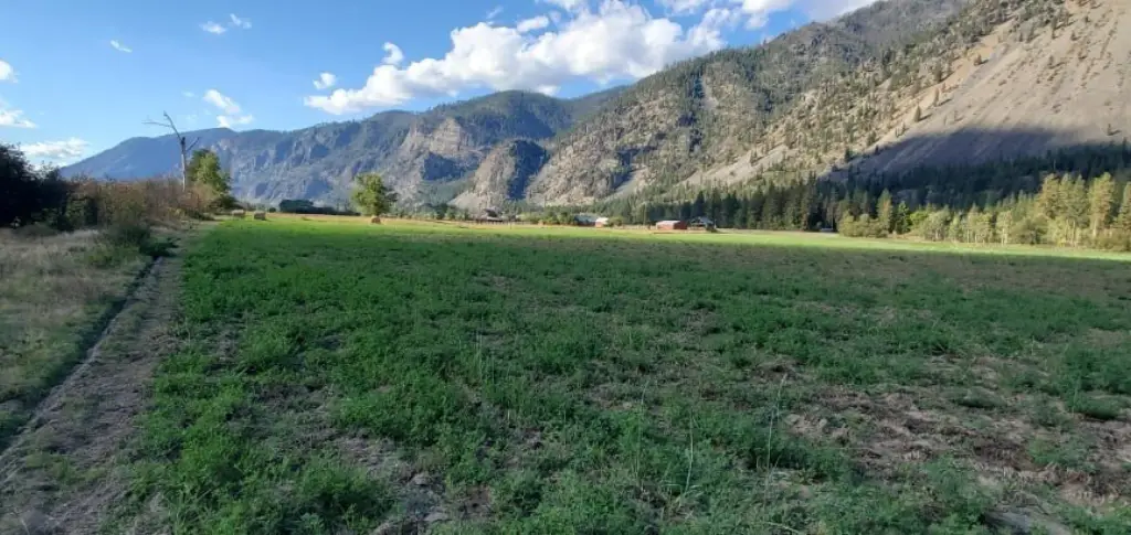
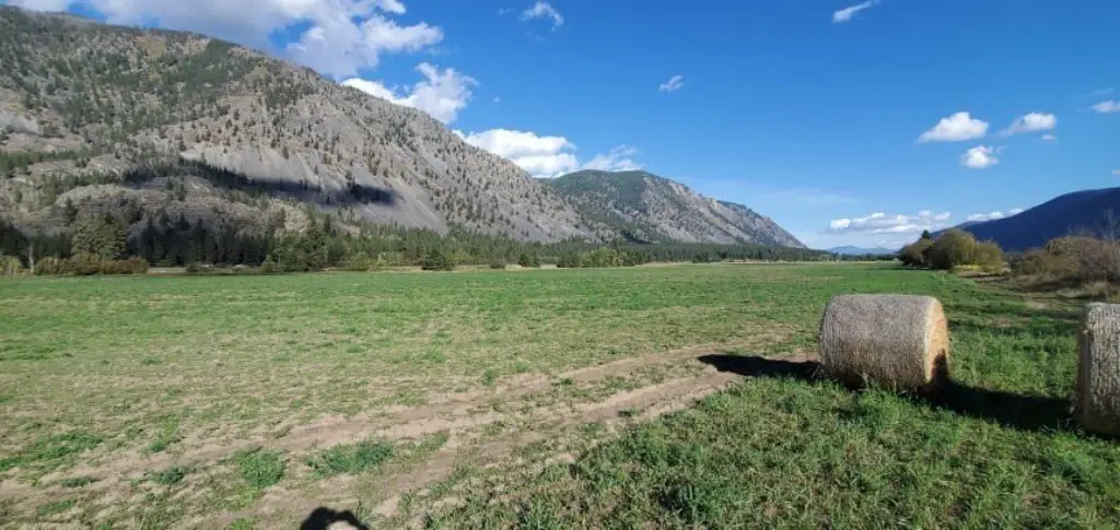
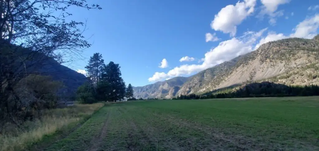
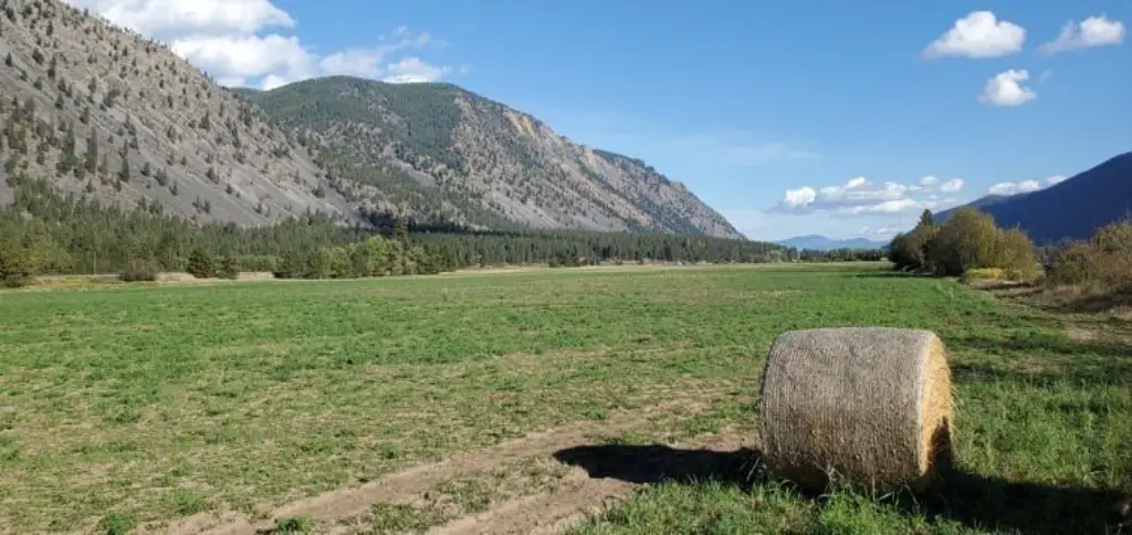
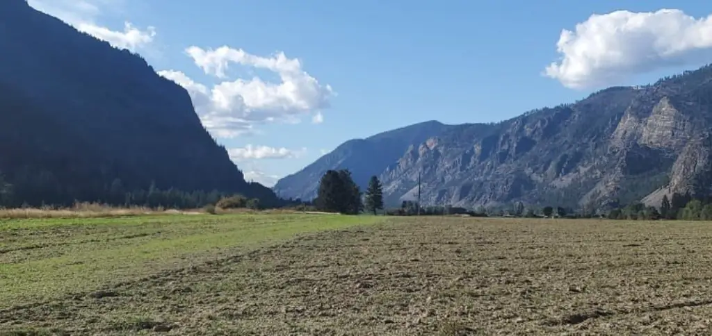
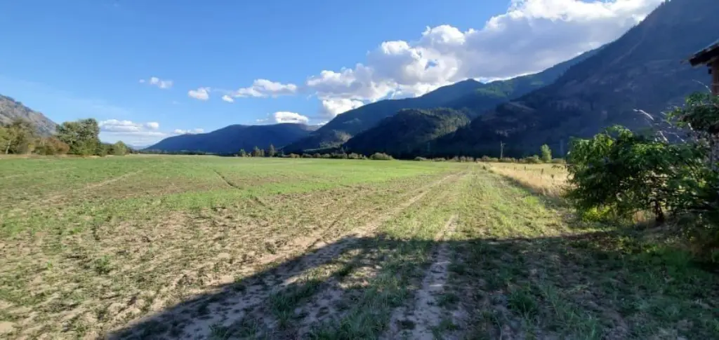
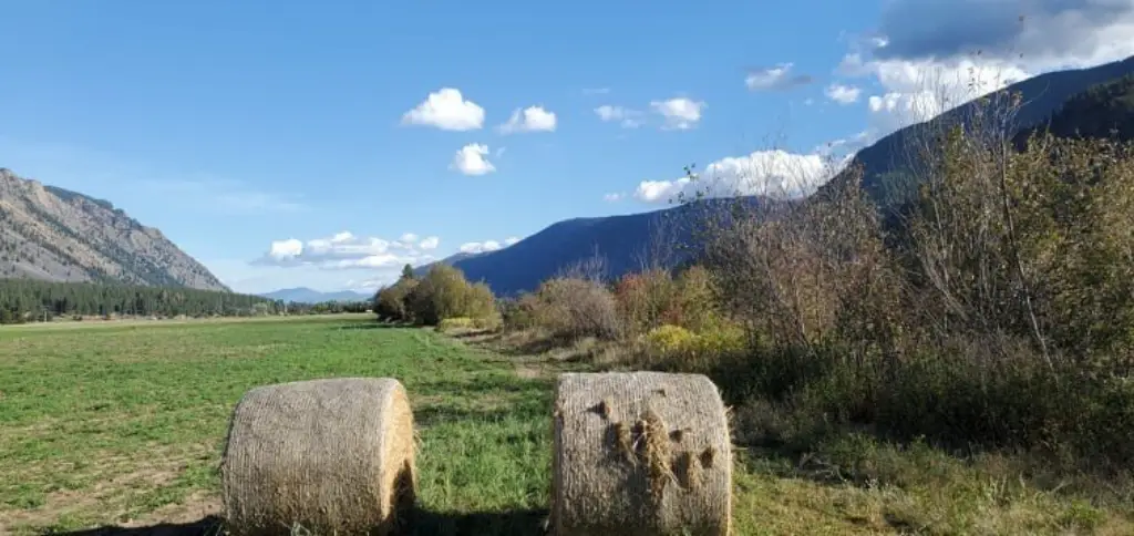
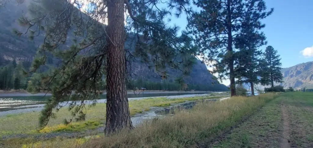
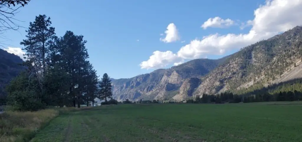
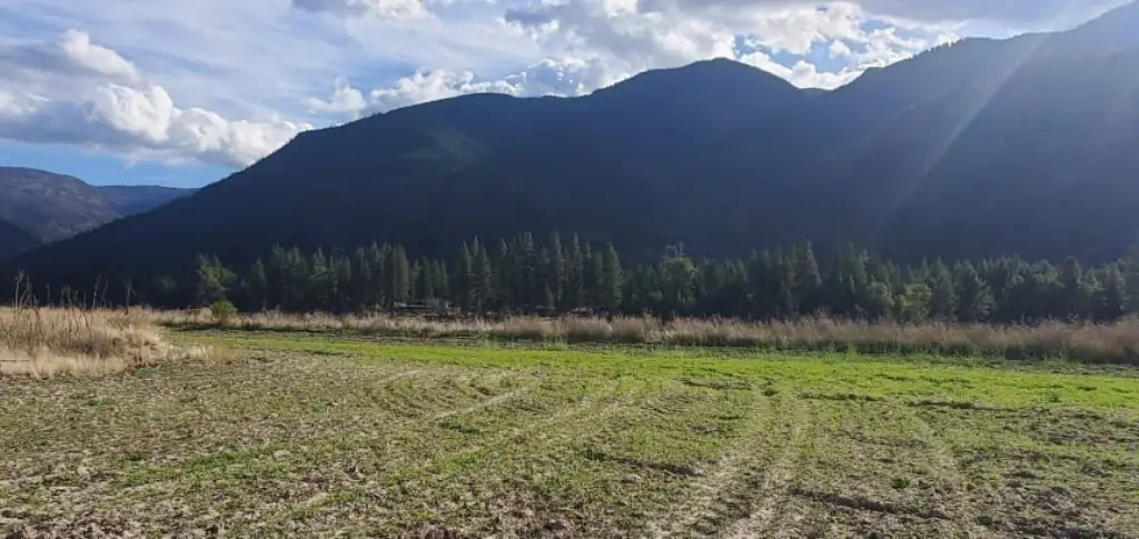
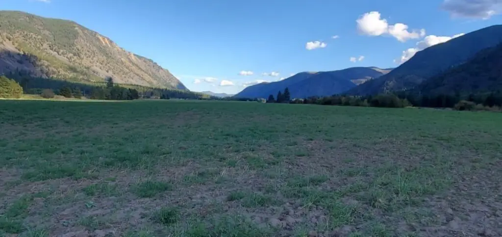
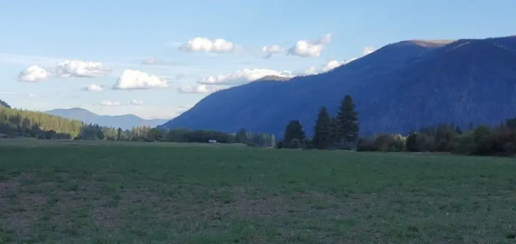
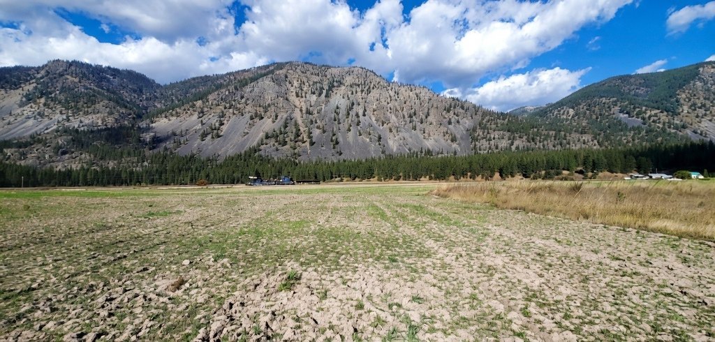
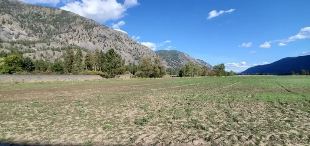
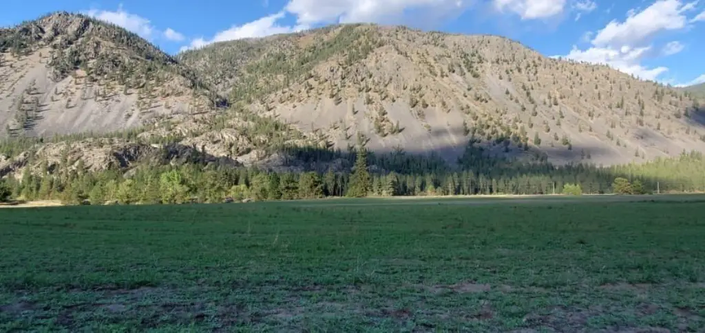
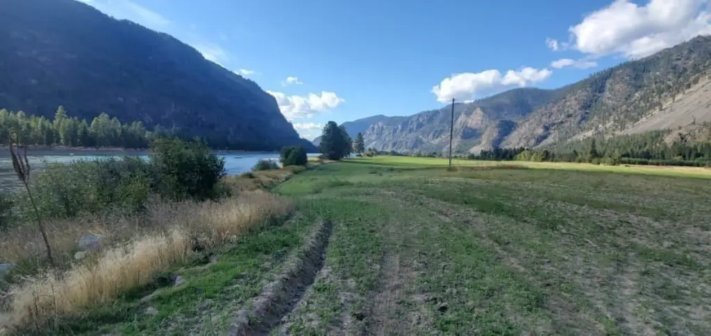
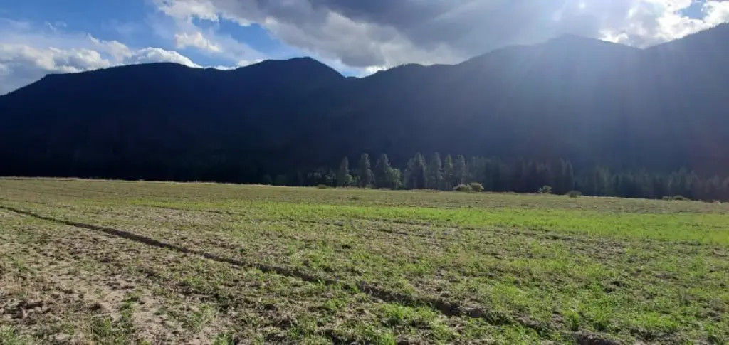
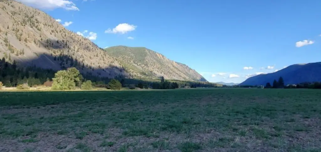
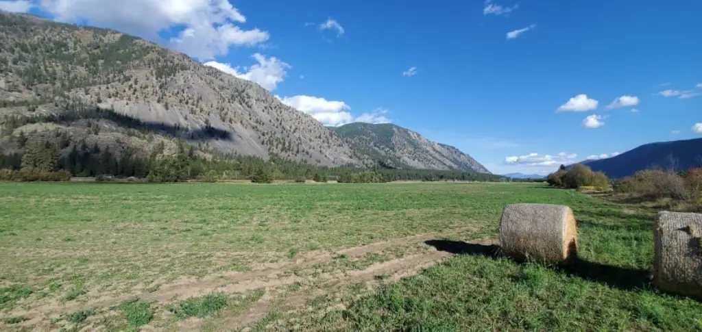
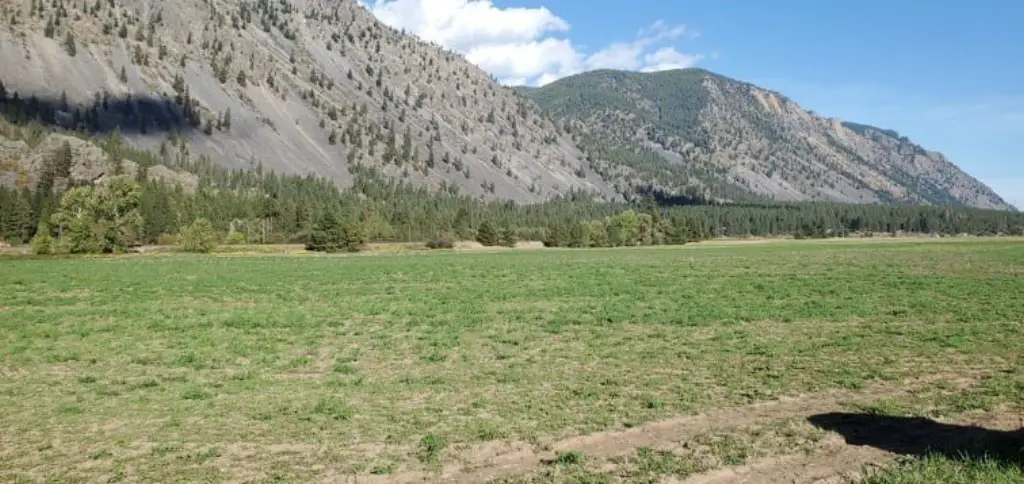
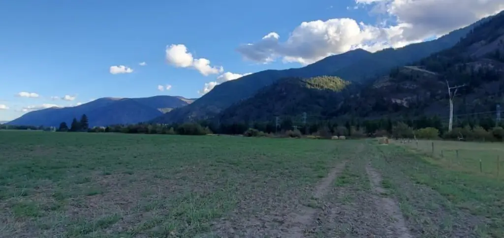
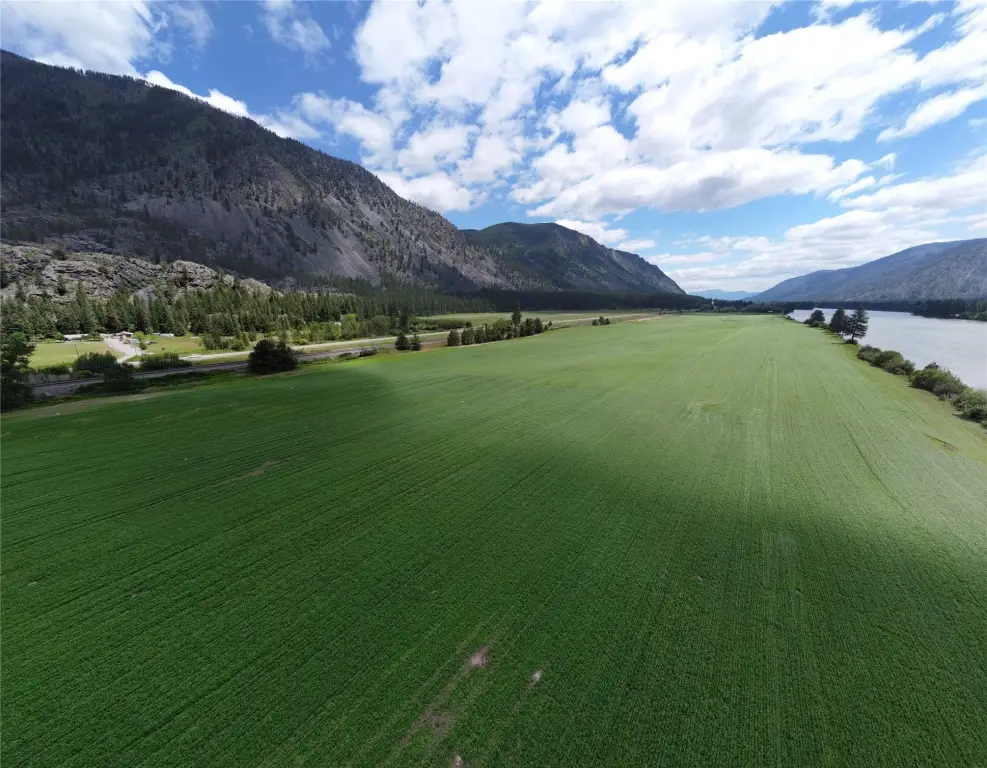
- Just shy of 66 acres of flat, tillable land
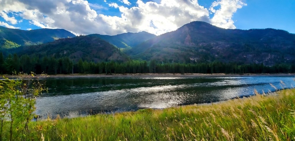
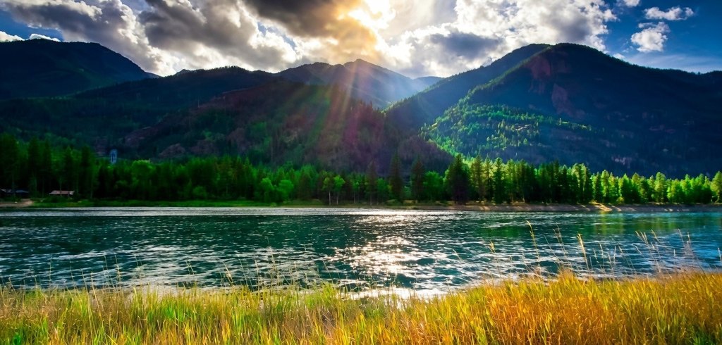
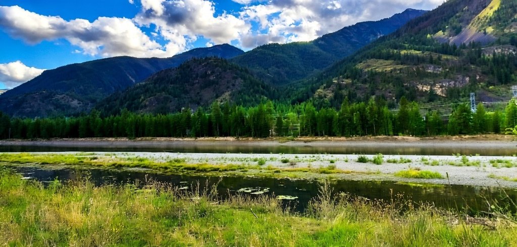
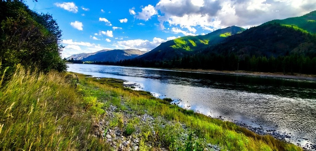
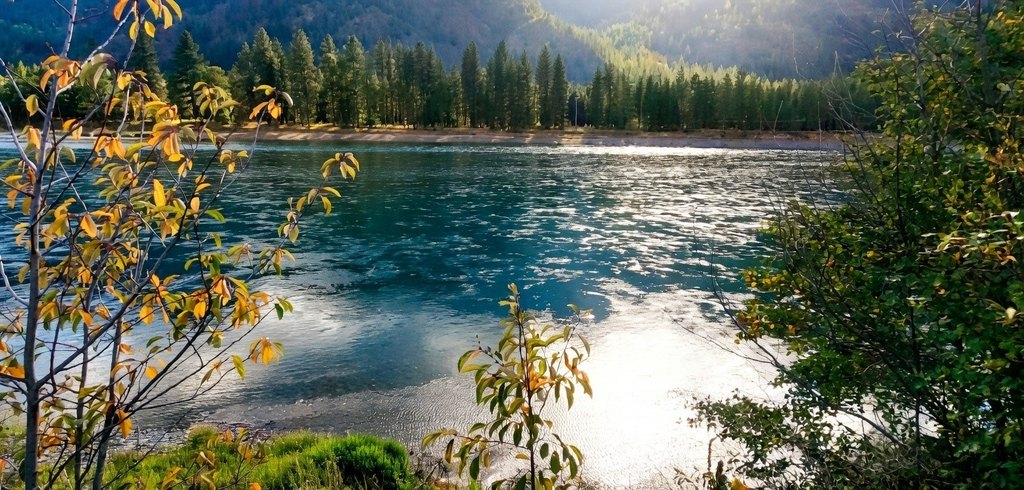
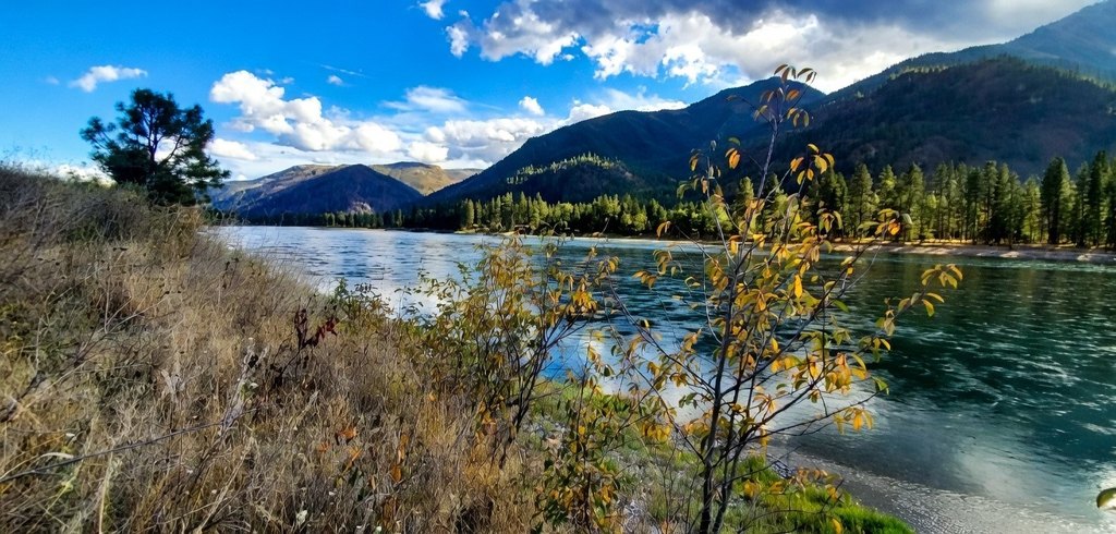
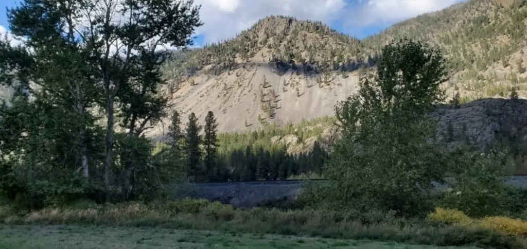
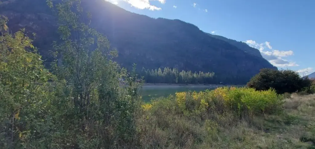
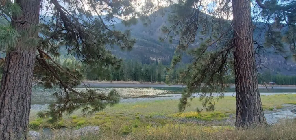
- Nearly 1 full mile of Clark Fork River frontage
- Gentle slope to the river bank plus a seasonal island
- Gravity‑flowing spring water water right with infrastructure already in place
- Land suited for haying and livestock
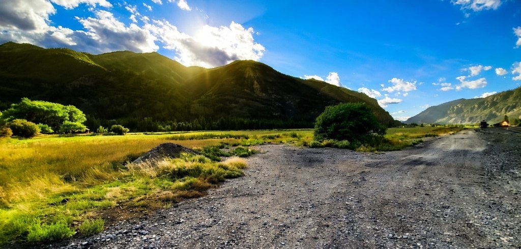
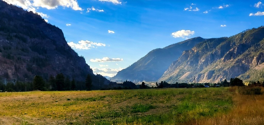
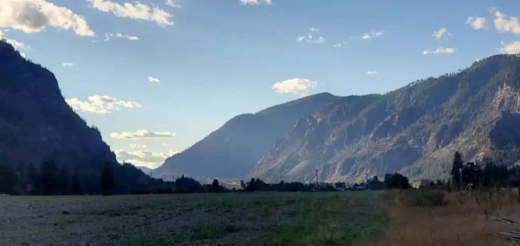
- Located a short drive from Thompson Falls on state highway 200
Overview
The land is located a short drive from Thompson Falls on State Highway 200. Thompson Falls offers grocery and dry goods shopping, along with multiple dining options. The listing also notes nearby access to public lands for hiking and hunting.
For buyers seeking productive farmland with direct river access, the flat tillable fields are positioned for continued use such as haying and livestock, as described. The gravity-fed spring water right and existing infrastructure may be important for on-site water needs. The gently sloped river bank and seasonal island can also contribute to day-to-day waterfront enjoyment, including launching watercraft as noted in the remarks.
Current Use by Public Records
Map
- City
- Thompson Falls
- County
- Sanders
- State
- Montana
- Longitude
- -115.1371479
- Latitude
- 47.55818595